
(Not to be confused with Livin’ La Vida Loca.)
Alert readers may recall that in early July I stumbled upon road in the San Gabriel Mountains called the Sierra Highway. A little research revealed that it’s part of a longer, historic route running along the eastern Sierras from Los Angeles to Lake Tahoe. It began as a mostly unpaved path well over a century ago, and by the 1920s it had firmed up into a proper road for motor vehicles. Some people refer to the entire route as the Sierra Highway, but the formal name for the full route is the El Camino Sierra.

When I discovered that short segment of the road in July, I made a mental note to eventually travel the entire route. And that’s what I set out to do this morning. I saddled up the Triumph and after 45 minutes on LA’s Covid-cleared freeways I arrived at the route’s starting point.
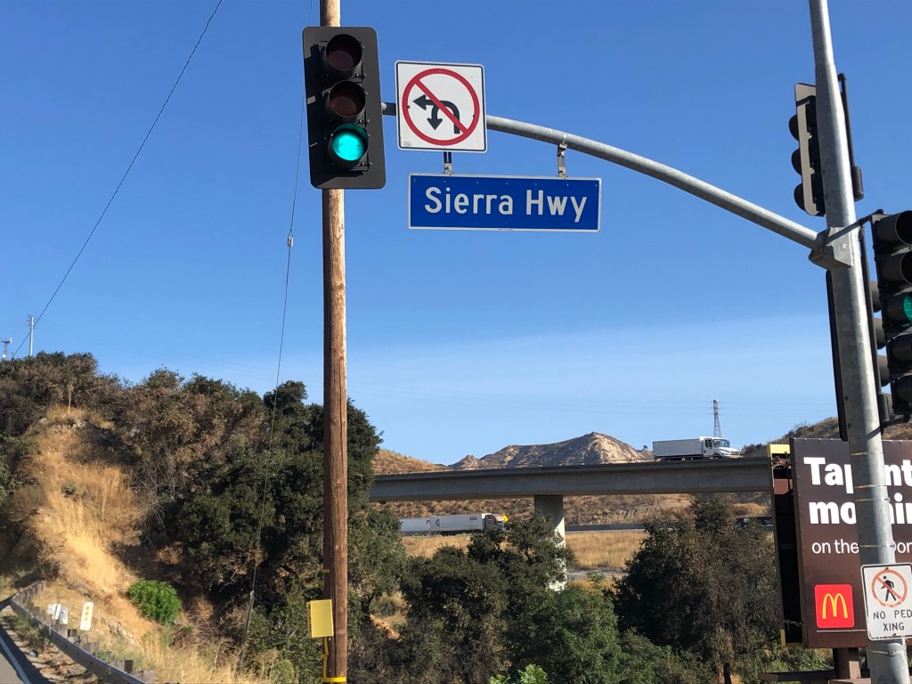
The Sierra Highway (which is the formal name of the first hundred miles or so of the El Camino Sierra) winds through the dry, brown hills of Santa Clarita and the surrounding environs, and then heads north in the shadow of the Sierra Mountains, cutting through the Mojave Desert and passing by Death Valley.
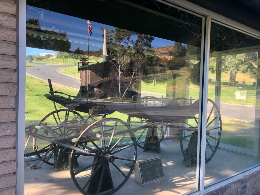
After about half an hour I came upon a cemetery that had an ancient, horse-drawn hearse displayed under glass next to the road. This is something you don’t see every day. I stopped to check out the display, and learned that it’s the last horse-drawn hearse of LA County, manufactured in 1860.
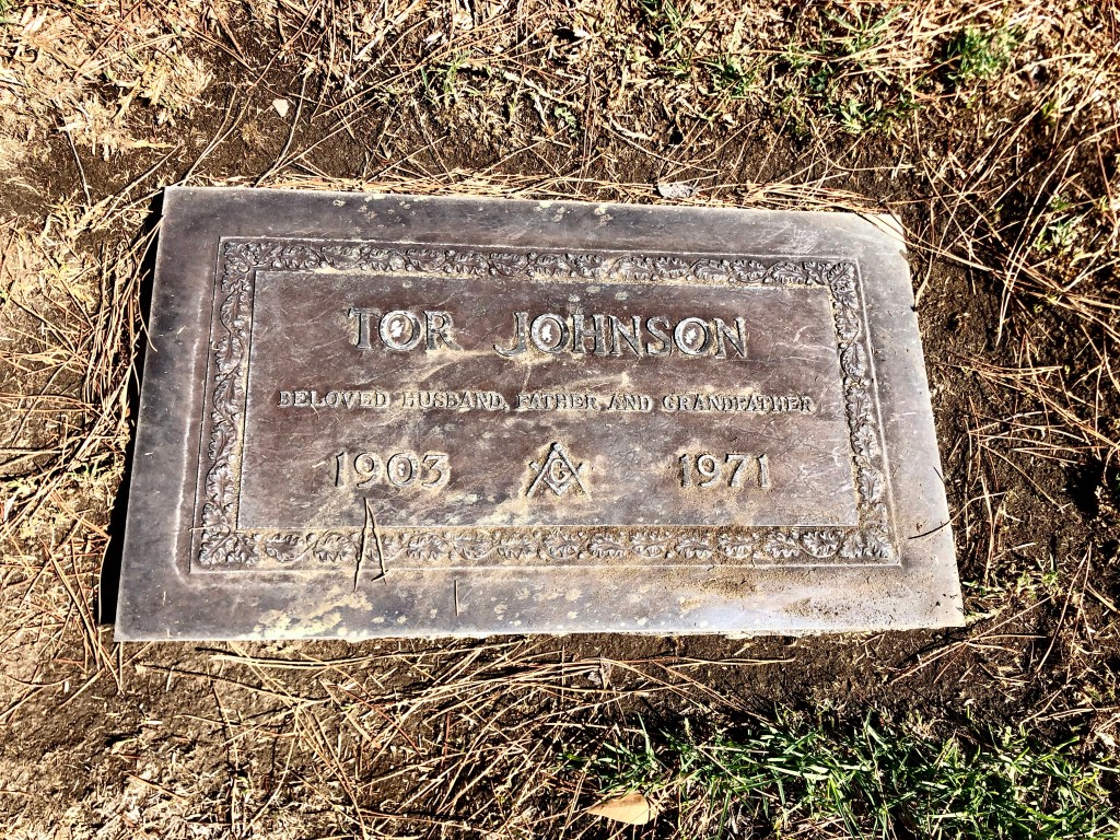
While hanging out at the cemetery entrance, I happened upon list of its famous inhabitants. Most I didn’t recognize, with the exception of Tor Johnson. You remember Tor Johnson, don’t you? He’s the ex-wrestler who ended up acting in B-movies, including, famously, Ed Wood’s Plan 9 From Outer Space, which is considered by many to be the worst movie of all time.

I spent the next 45 minutes searching for Tor’s grave, which was not an unpleasant way to pass some time, given the tree-shaded, rolling hills and quiet seclusion. Ultimately I was rewarded with this unassuming marker:
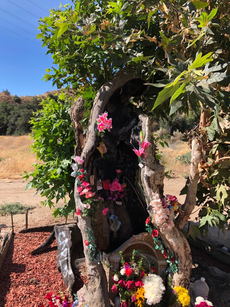
Returning to the Sierra Highway, I soon happened upon a roadside memorial. I stopped to investigate.
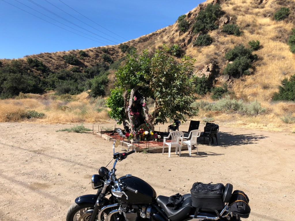
It turns out this sycamore tree was burned in a fire in 2007. It survived, and people claim to see the outline of the Virgin Mary in the tree. I have a hard time seeing it, but then I’m not Catholic.
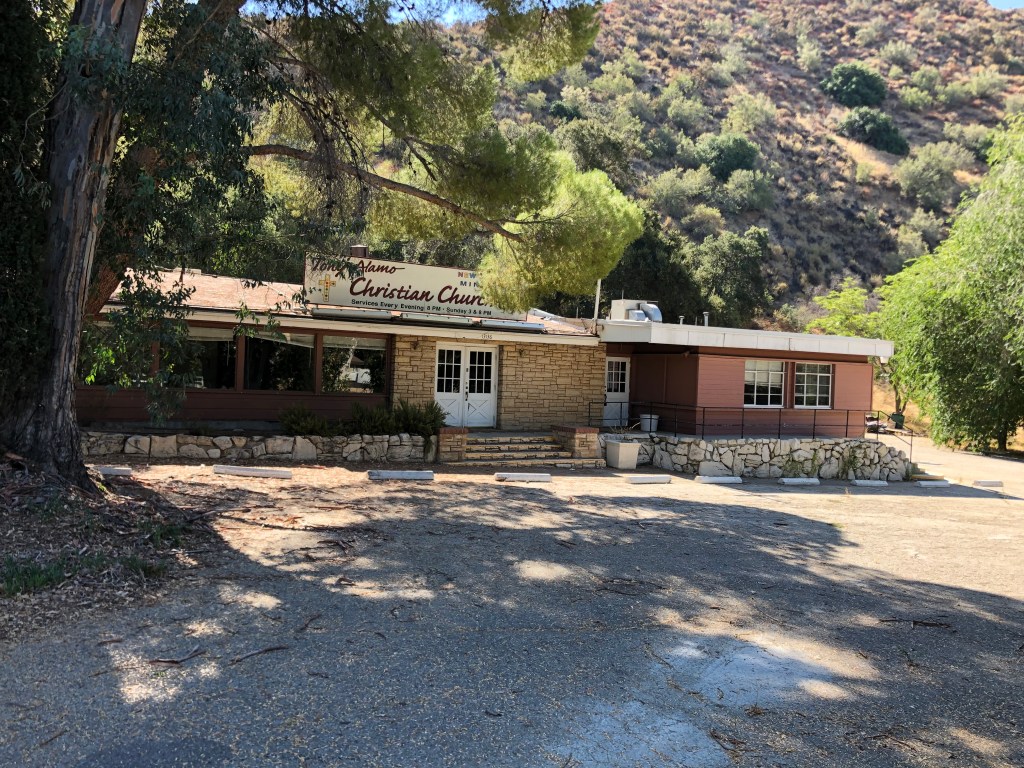
Continuing with the religious theme (sort of), a little further down the road I came across a sign for Tony Alamo’s Christian Church.
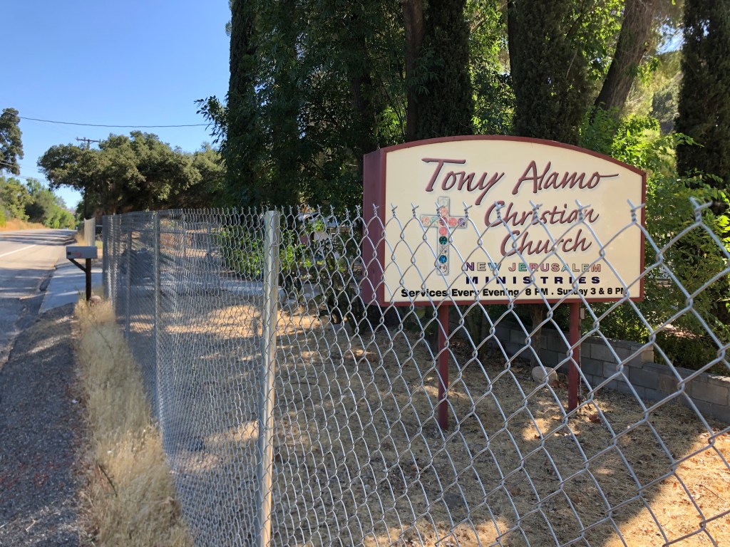
It turns out Tony Alamo was originally a Jewish fellow named Bernie Hoffman. He founded a cult where he demanded that his followers hand over all their property to his church, and he ended up getting thrown in prison for rape in 2009. In other words, Tony Alamo Christian Church isn’t a church, isn’t Christian, and isn’t founded by anyone named Tony Alamo. The building now sits behind this fence, presumably waiting for the End Times.
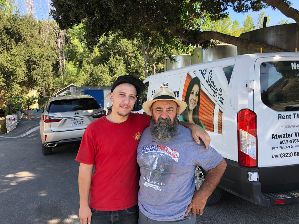
My next stop was much more pleasant: an old stone building that originally was constructed as a gas station in 1923. In 1971, Steven Spielberg used it as a truck stop diner in his movie Duel.
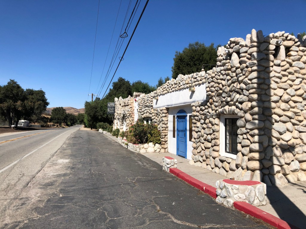
In 1980 the property was bought by Juan Alonso, who opened it as a french restaurant. He still owns it today, though it’s currently closed due to Covid. And I learned all this from talking to Juan himself and his son, Adrian, who happened to be standing outside when I stopped. (Evidently the property had once been a biker hangout, and Alonso was getting nostalgic when he saw me ride up.)
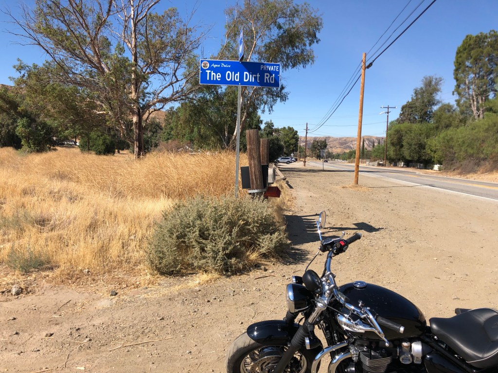
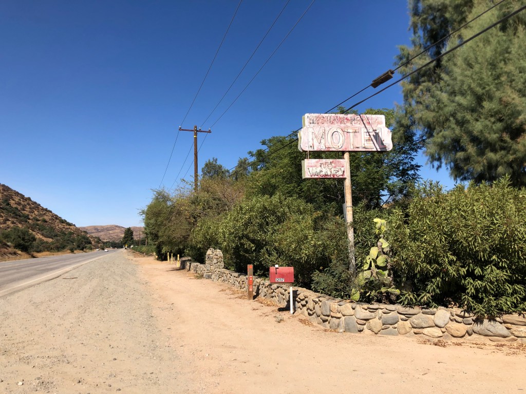
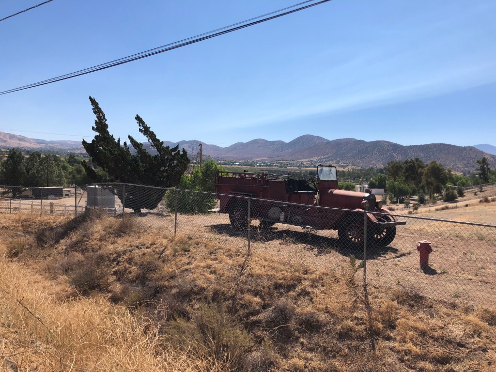
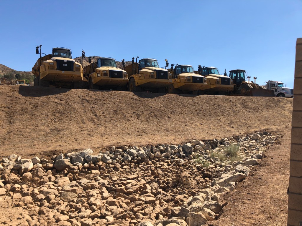
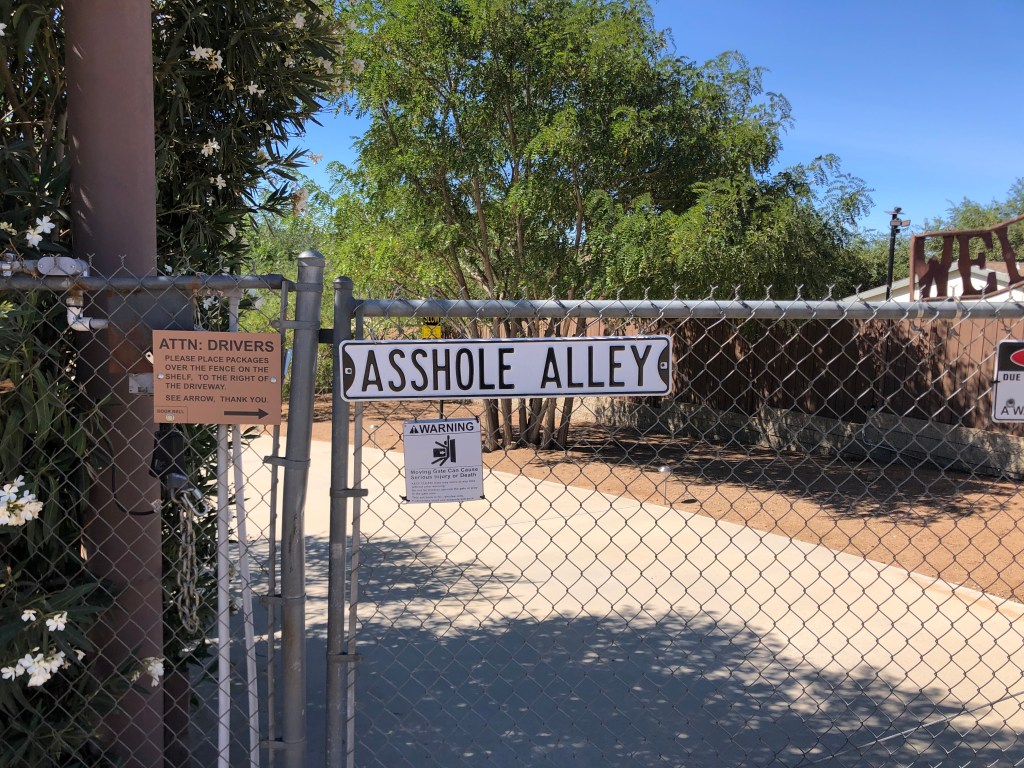
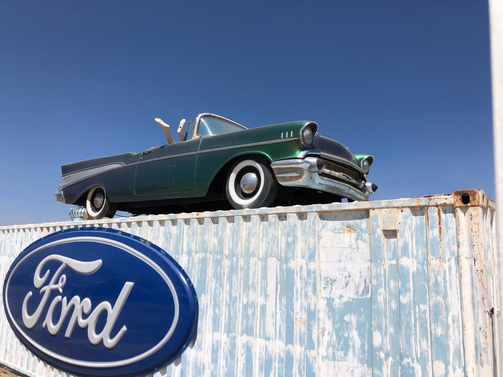
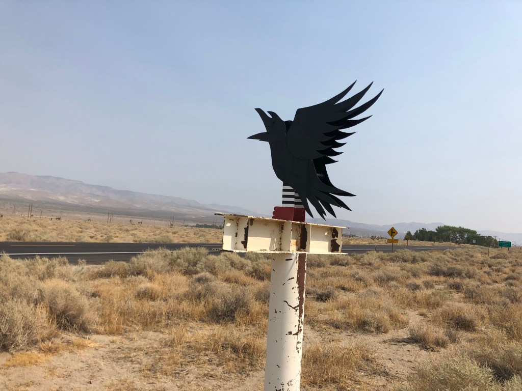
When I got back on the road, I was feeling the love of the Sierra Highway. It’s quiet, it’s historic, it’s quirky, and the people are friendly. Here’s a few random photos:
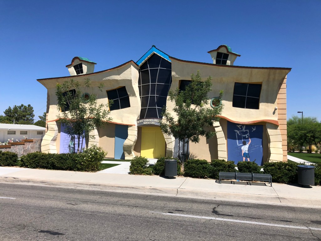
In addition to the melting house, Lancaster boasts something called the Musical Road. This is a stretch of roadway that has grooves cut into the payment which produce a sound that’s supposed to resemble the finale of the William Tell Overture. I’m not making this up.
Here’s the road in question:
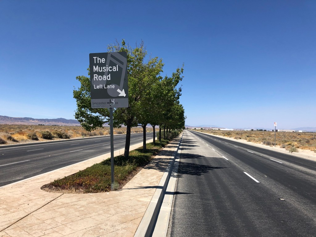
I tried riding the Triumph along the musical road, but I couldn’t make out any music. It may have been due to my helmet, or the fact that I have only two wheels. Here is how it’s supposed to sound.
Interestingly, the musical road originally was created for a Honda commercial, and was located on a different road. The neighbors complained about the noise, however. (Who wants to hear the William Tell Overture at all hours?) So the city paved over the rumble strips and reproduced the road on the non-residential Avenue G, where I encountered it today.
Finally, in the early afternoon, I came to the end of that portion of El Camino Sierra that’s signed as the Sierra Highway. Objective 1 of this trip was now complete. At this point, I was directed onto State Route 14.
Speaking of route names, at one point a big chunk of El Camino Sierra was designated as US Route 6. US 6 is a transcontinental route that originally went to Long Beach, CA. But today, the western terminus of US 6 is in Bishop, CA (where I’m sleeping tonight). Signs along the old US 6 route give the “Historic” designation.
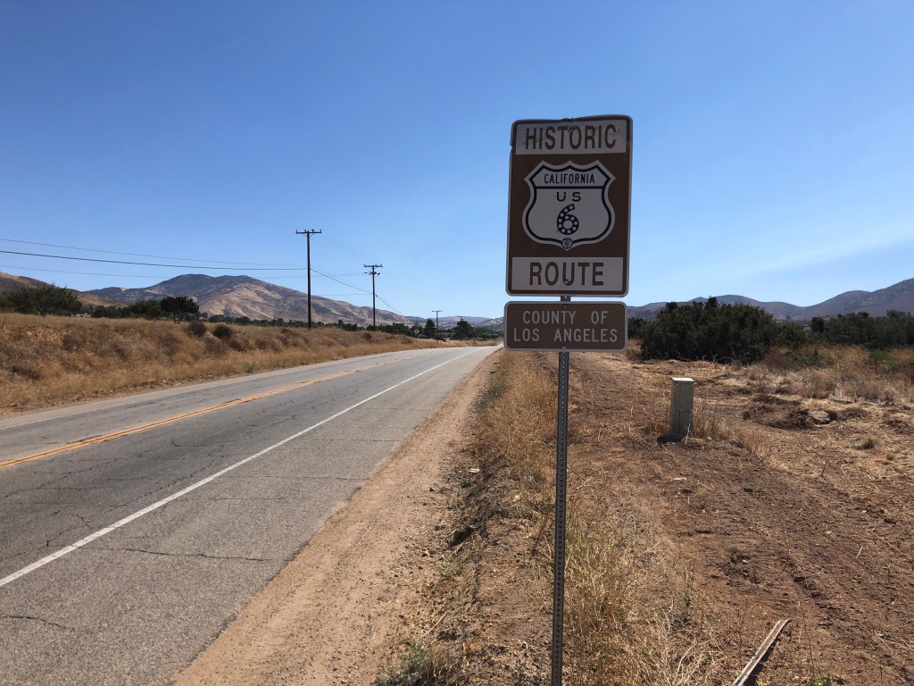
Created in the 1920s, US 6 is also known as the Grand Army of the Republic Highway.

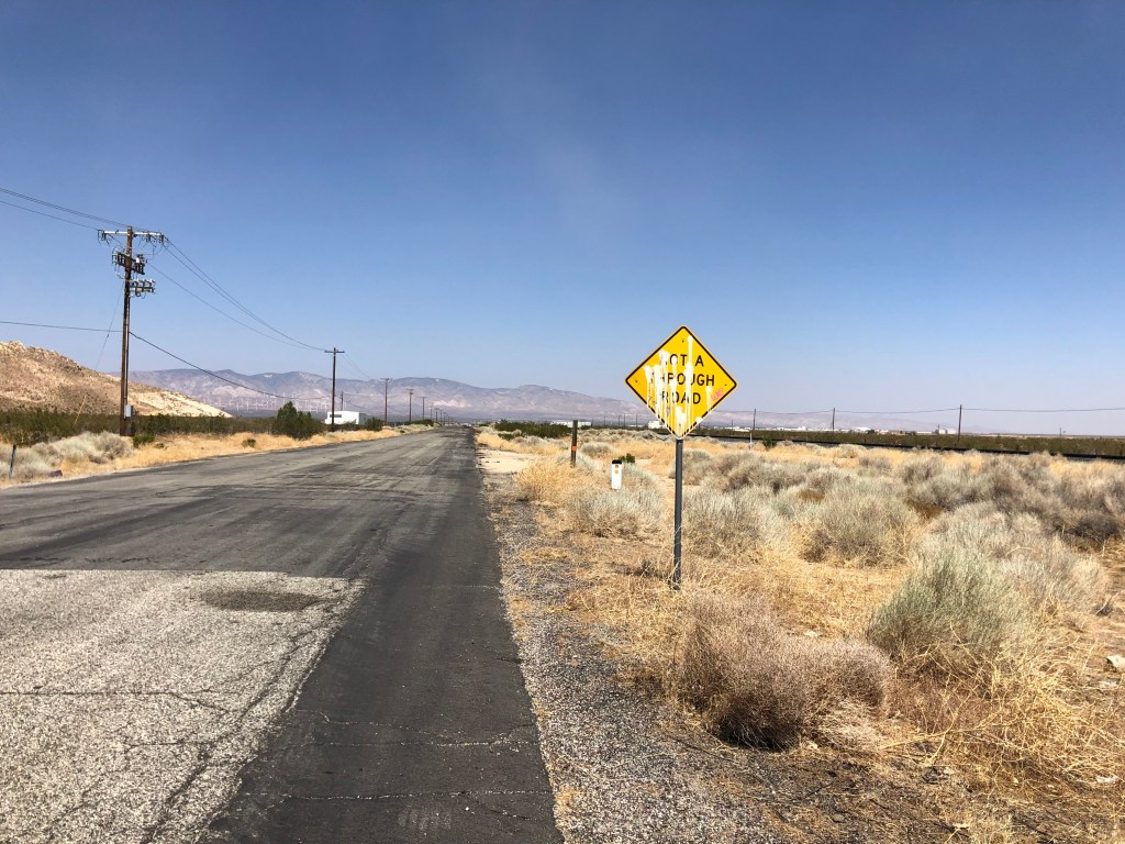
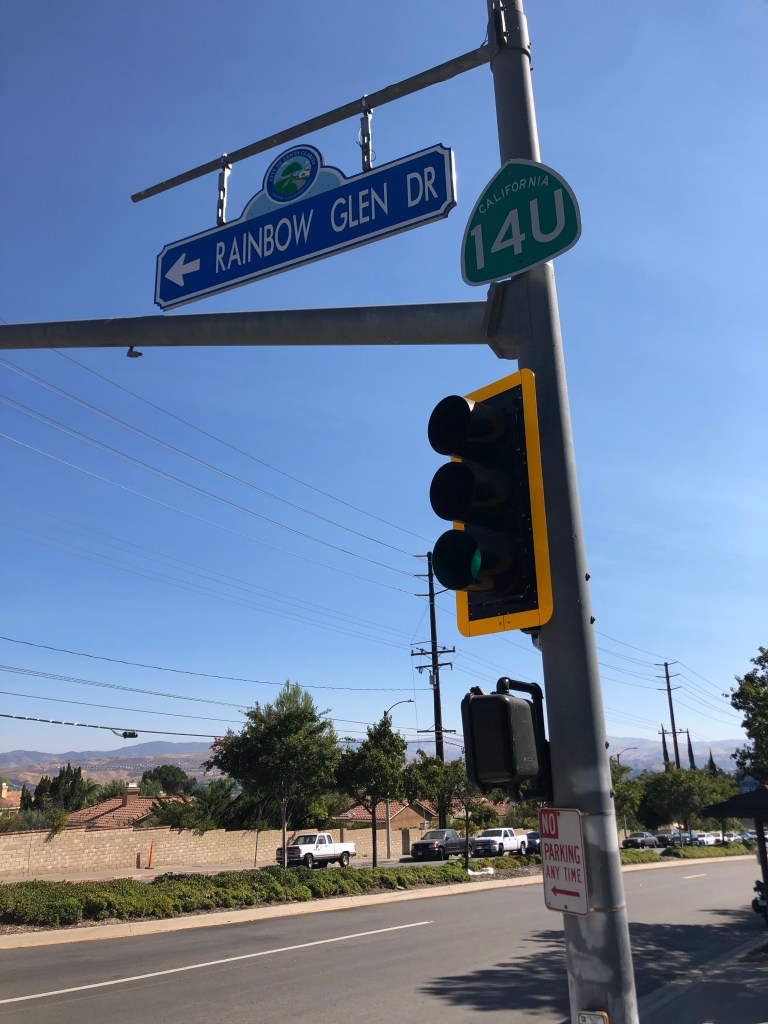
And since we’re on the subject of signs, I noticed an oddity back near the beginning of today’s trip. There’s a segment of old State Route 14 which was replaced by a new freeway some years ago. That old segment is now part of the Sierra Highway. But unlike most other decommissioned state routes, which get turned over to the city as local roads, the city of Santa Clarita hasn’t formally accepted transfer of the road. So it’s stuck in limbo, still technically a state road even though it’s no longer State Route 14. And so it’s signed as State Route 14U, with the U standing for “Unrelinquished.”
But enough of with the signs. Where was I? Ah yes, not long after Lancaster my route took me onto US 395. This is a road I drove just a couple of years ago on a nice, long road trip. My point is that I didn’t stop much on 395, today since I’ve been along this route recently. (Some of you might have received my “blog” from that earlier trip, which was just clunky, misaligned photos pasted into a Word document and then emailed. I plan to transfer those old files over to the WordPress blog some time soon. Stay tuned.)
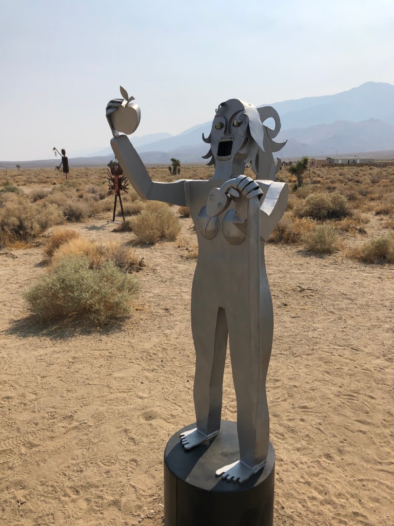
Today I did stop at an art oasis near Lone Pine. I had stopped here on my last trip, and found it to be a fascinating, whimsical little tableau, just sitting out in the middle of nowhere. What possesses people to create these pieces of art, and then just stick them in the desert? Today I noticed a couple of new art installations that I photographed:
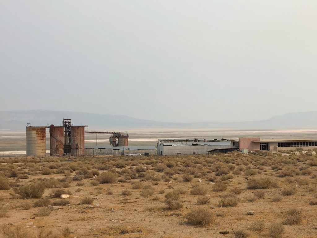
Back on the road, I came upon a sign directing me to a “historical point of interest” just ahead. I stopped in front of this building.
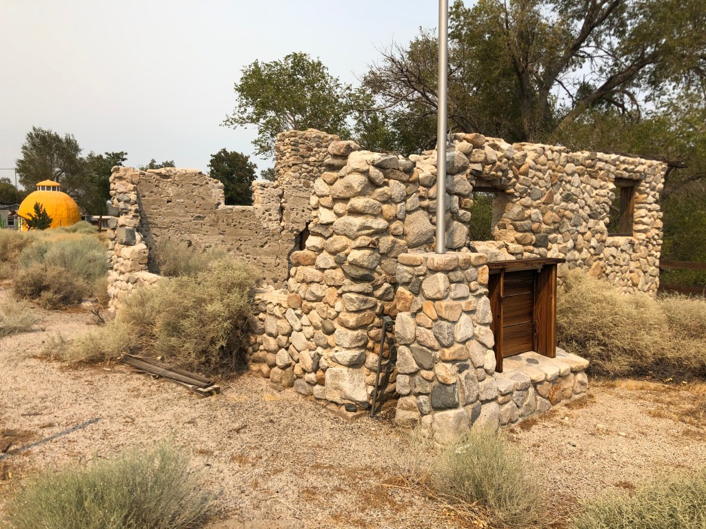
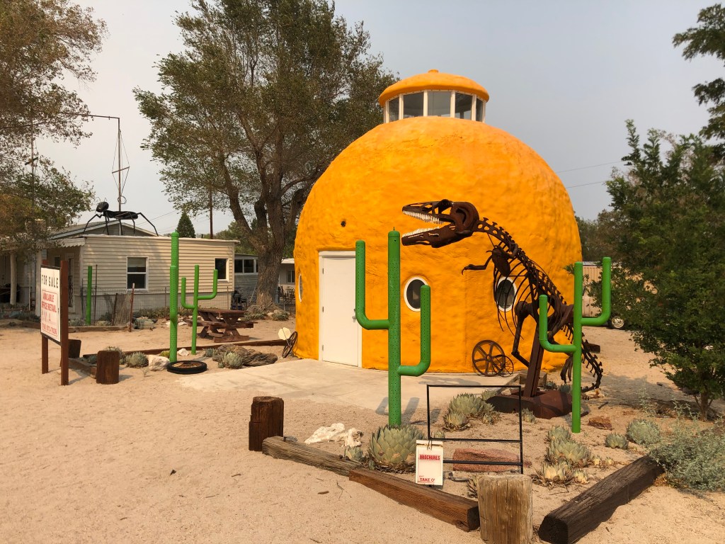
Frustratingly, there was no sign explaining what I was looking at. But if you look just beyond this structure, you see another oddity: A giant orange. Perhaps this is the point of historical interest that had beckoned me?
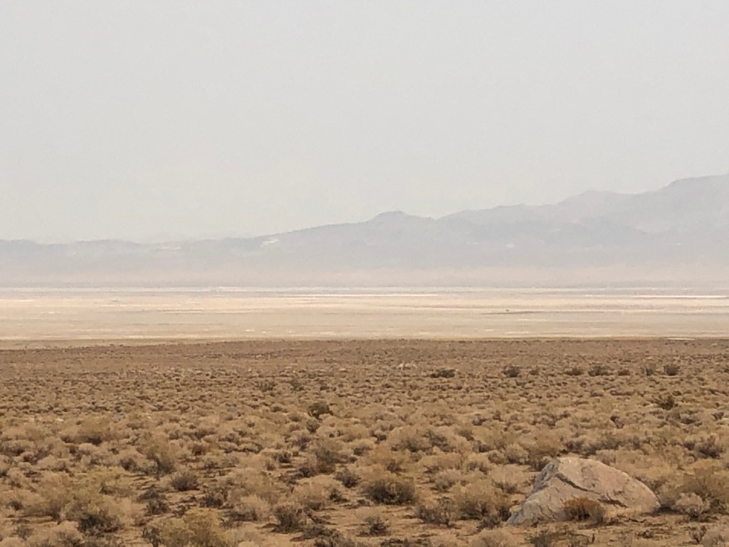
One of the more soulful parts of this stretch of highway 395 is Owens Lake. This dry, dusty, parched landscape is what’s left after William Mulholland redirected the Owens River through an aqueduct some 200 miles south to Los Angeles. I have some blog entries from a trip to explore that aqueduct a year or two ago. I will try to get that moved onto this platform some time soon.

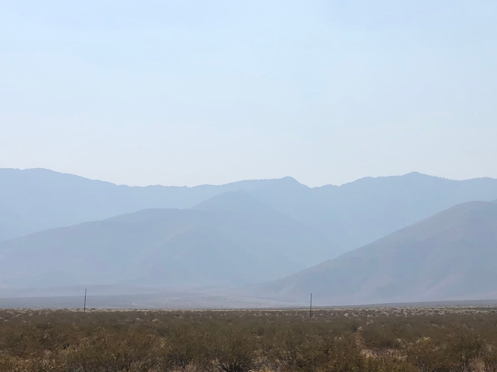
Looking to the west, 395 affords some great views of the Sierras. But today air quality was affected by the wildfires burning all over the state. The mountains were barely visible!
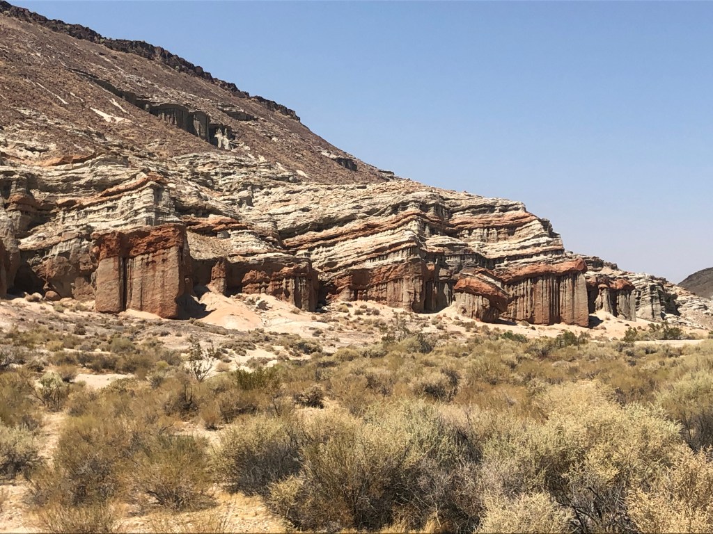
But not all of the view from 395 is depressing. Red Rock Canyon State Park is a wonder to behold.
And finally, when I stopped in Bishop, I beheld another beautiful sight: An open brew pub. I stopped at Mountain Rambler Brewery, and treated myself to their Scotch Ale.
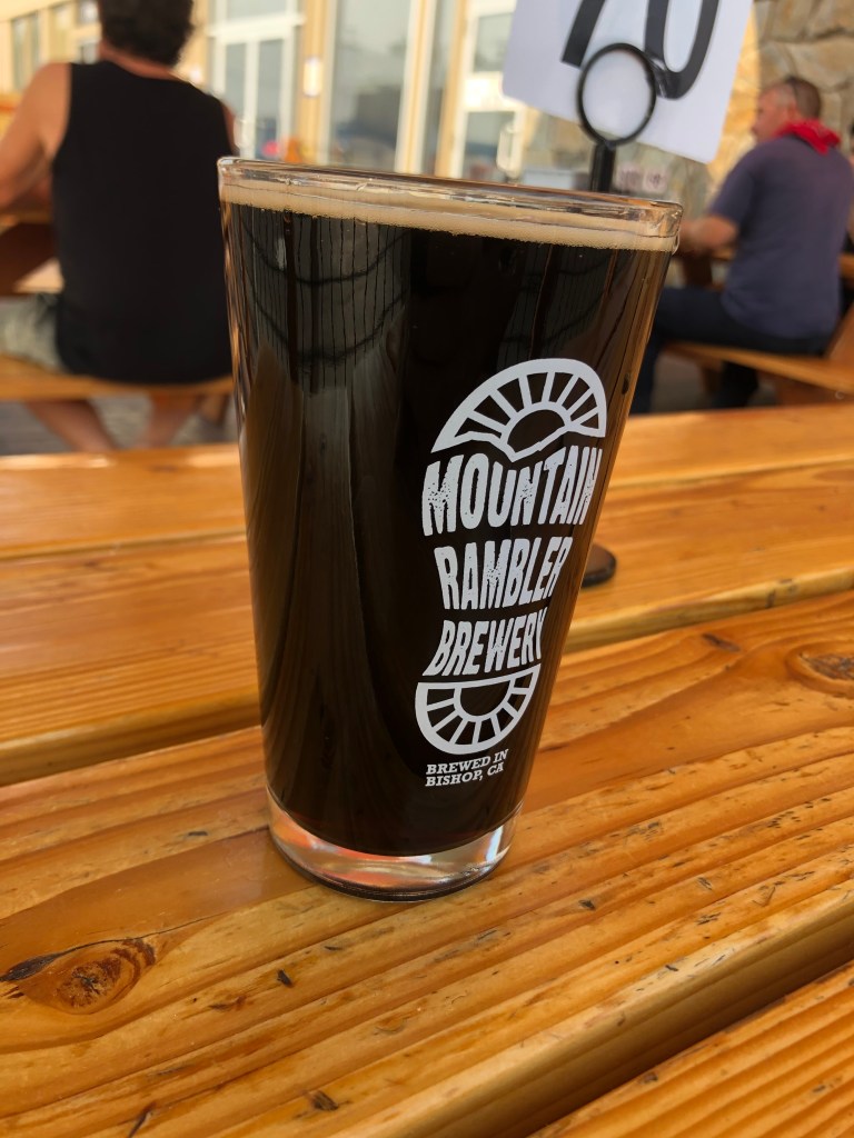
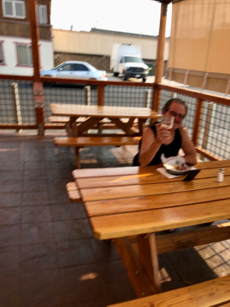
For a beer this dark in appearance, it’s not especially meaty. It has a nutty flavor, somewhat akin to a brown ale. It’s not as sweet as I like my Scotch ales to be, but it was pleasant enough. Consistent with the classic style, it’s not at all hoppy. And with an ABV of 5.7 it’s not going to kick anyone’s ass. Come to think of it, this beer isn’t all that satisfying. But I was relaxing at a table in a shaded patio, and had a big old burger for dinner. And I had a nice conversation with another patron who drove up here from San Diego to go hiking. So, all in all, it was worth stopping here.
Tomorrow I plan to finish the El Camino Sierra. I’ll then cut across to the Gold Country and start my way southward along the western Sierra.

Steve: On the road again! Great photos along the way (plus witty commentary). A vicarious pleasure for those of us in semi-isolation, thanks! Stay healthy out there. – Peter
LikeLike