
You’ll recall that I began this journey in Vermont and upstate New York, where I met with relatives and visited places where my grandfather grew up. After driving 3,773 miles, I’m ending the trip by visiting places where my grandmother grew up. There’s a certain symmetry in all that, which I find strangely satisfying.
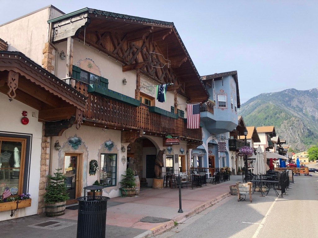
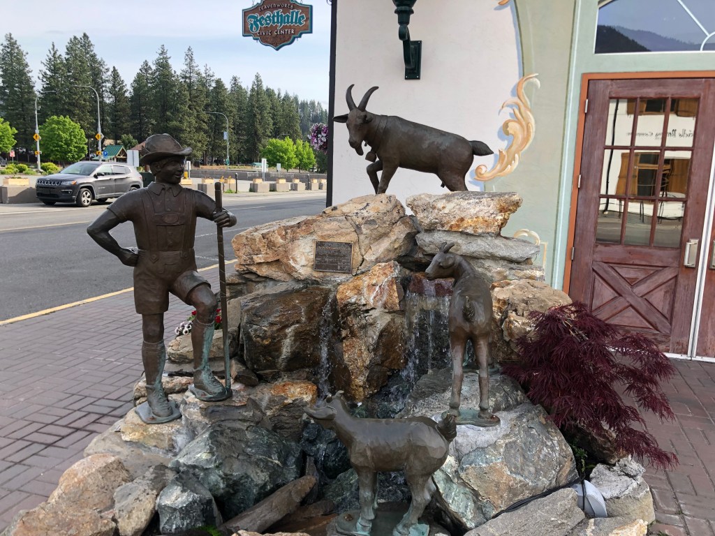
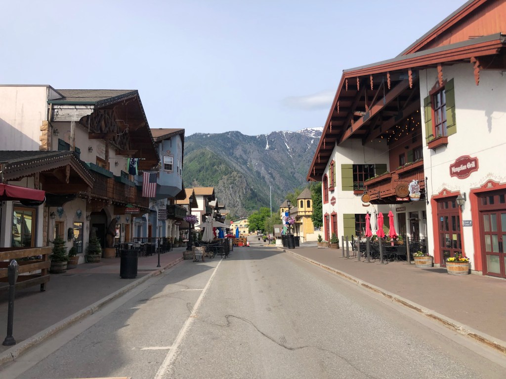
I set out this morning from Wenatchee, and soon the environment was changing again. This time it felt like I was in Germany….and that’s because I passed through the town of Leavenworth (pop: 2,500), which for some reason has decided to dress up as a Bavarian village. Like so many towns along Route 2, Leavenworth was founded over 100 years ago as a Great Northern railroad town. It even housed the regional office of the GN. But the office was relocated to Wenatchee in 1925, and then the remaining major industry (timber) steadily declined into the 1950s. The town needed a new source of income, and by the 1960s it settled on a strategy: It would seek tourism dollars by recreating itself as a Bavarian village. No doubt you’re familiar with the town of Solvang on the Central California coast; it’s the same idea. Indeed, Leavenworth officials actually visited Solvang as they were developing their strategy.
Leavenworth has a live webcam trained on its town square. I’m sure it would be fun to watch during Oktoberfest. But right now, not so much.
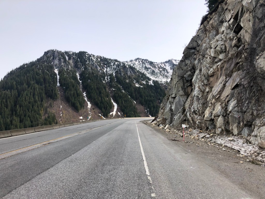
Immediately beyond the town the North Cascade Range looms, as you can see in the picture below. I was about to experience yet another change in scenery….
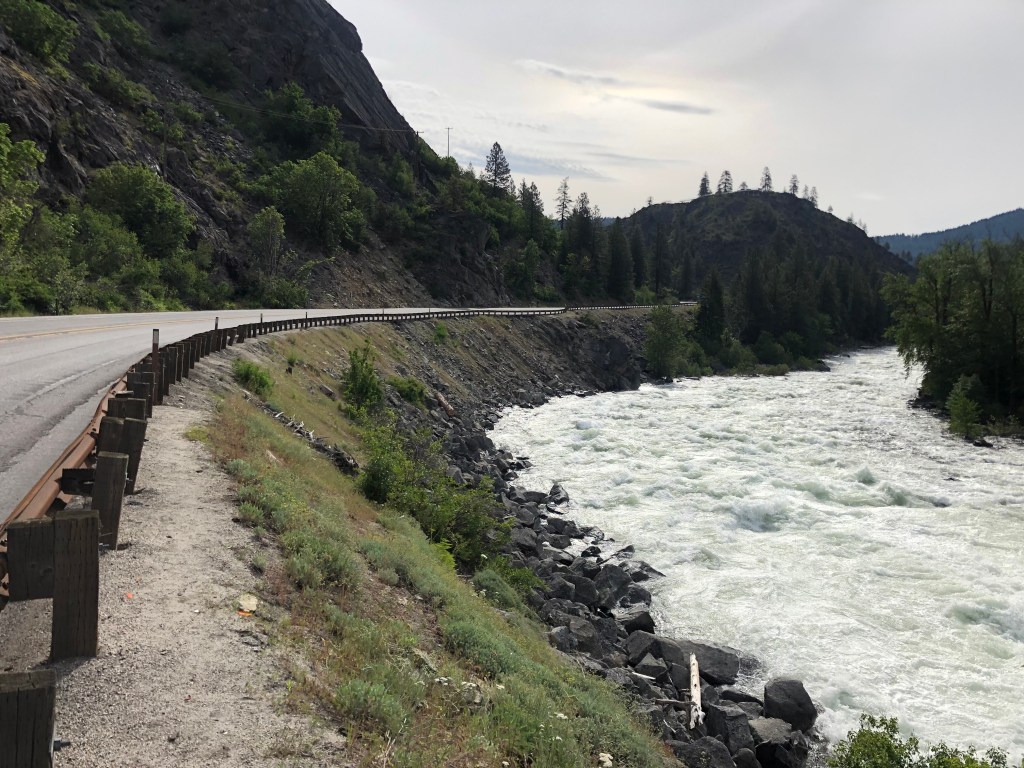
Route 2 through the Cascades is a truly beautiful drive. The road follows the Wenatchee River, which is impressive and scenic.
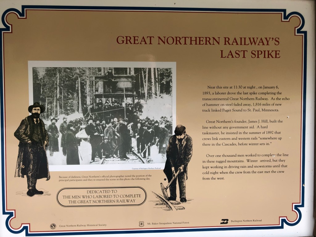
You’ll recall that a few days ago US Route 2 took me over the Rockies at Marias Pass in Montana, and I noted that the Great Northern Railway ran its transcontinental route over that pass in 1889. The last segment of Great Northern’s transcontinental tracks to be completed was the section over Stevens Pass, right here in the Cascade Range.
So this morning I stopped on the Pass near the point where the final railroad spike was driven on January 6, 1893. There’s a placard commemorating the event.
A creek runs by this same spot. It’s called Deception Creek, and I’ve been unable to find out the story behind the name. (Please enlighten me, if you have info.) I did manage to take this short video of the creek running under Route 2.
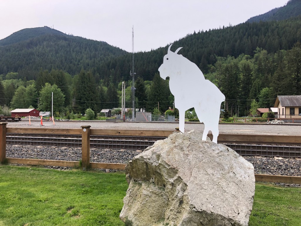
On the other side of the pass I came to the town of Skykomish (pop: 190). Like Leavenworth and many other towns along Route 2, Skykomish was established as part of the Great Northern Railway’s surveying efforts. For about 80 years it provided maintenance and fueling services for the Great Northern. Today, however, the GN doesn’t even stop at Skykomish’s historic depot.
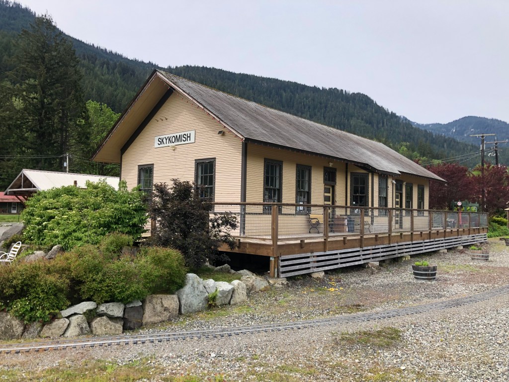
Still, Skykomish continues to link its identity to the Great Northern. Indeed, the town seal incorporates a version of GN’s logo, and it calls itself “A Great Northern Town.”
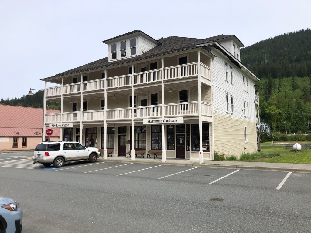
Like Leavenworth, Skykomish seems to have found a niche with tourists. In Skykomish’s case, it’s railfans that they’re courting. They have a restored depot that’s now a museum, they offer train rides, they’ve plotted a walking tour of historic GN-era buildings. And while passenger trains no longer stop in Skykomish, plenty of freight trains pass through the town, making it a good location for train spotting. In addition to all this, the town has several upscale cafes, coffee shops, and outdoor equipment purveyors that are popular with a wide variety of tourists.
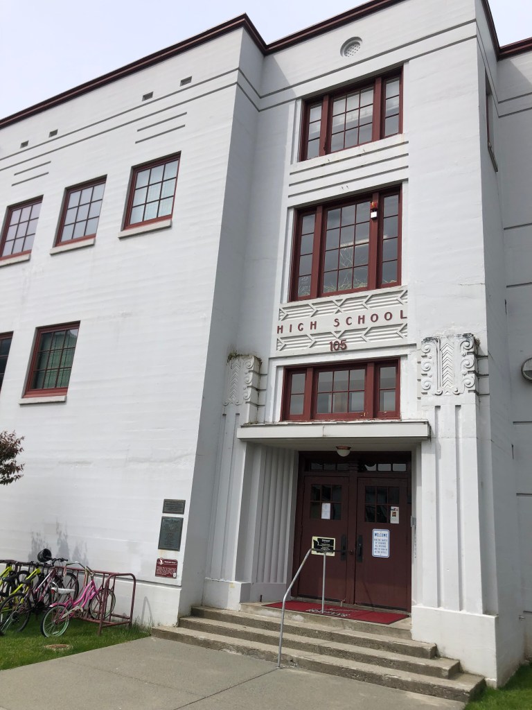
After an enjoyable walk among Skykomish’s streets (which, among the older historic structures, include this WPA-era school building that’s still in use), I eased back onto US 2. I was getting dangerously close to the western terminus at Everett.
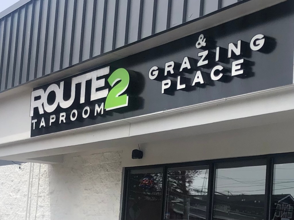
Now, recall that a few days ago, when I was in Glasgow, Montana, I met a guy named Chris at the Loaded Frog who explained the “Middle of Nowhere” slogan to me. Well, Chris also told me that there’s a good taproom near the western end of Route 2. I’ve been looking forward to checking it out ever since I learned of it. With a little research I discovered that the place–the Route2 Taproom–is in Monroe, WA, which is about a dozen miles before the end of Route 2.
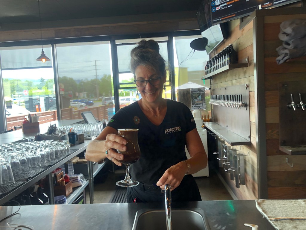
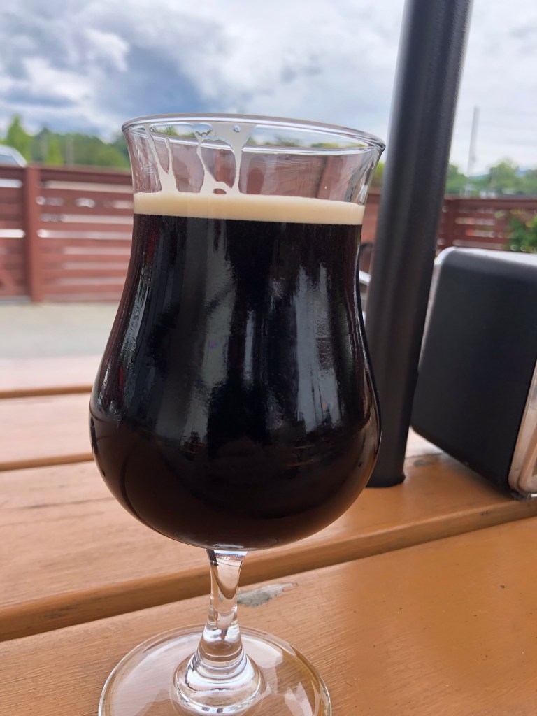
I stopped in and ordered the Triplehorn Nemesis Milk Stout on Nitro. So let’s get the BOTD out of the way:
What a great choice for my final BOTD! It’s got a complex range of flavors, and somehow they work together nicely: There are hints of coffee grounds, vanilla, tobacco leaves, and those miniature Hershey’s bittersweet chocolate bars I used to get at Halloween. The hops are reined in a bit, which is appropriate for a milk stout. The mouthfeel is creamy (that’s partly due to the nitro), and it’s pretty boozy at 10% ABV. It would be really hard to improve on this. I give it 5 stars.
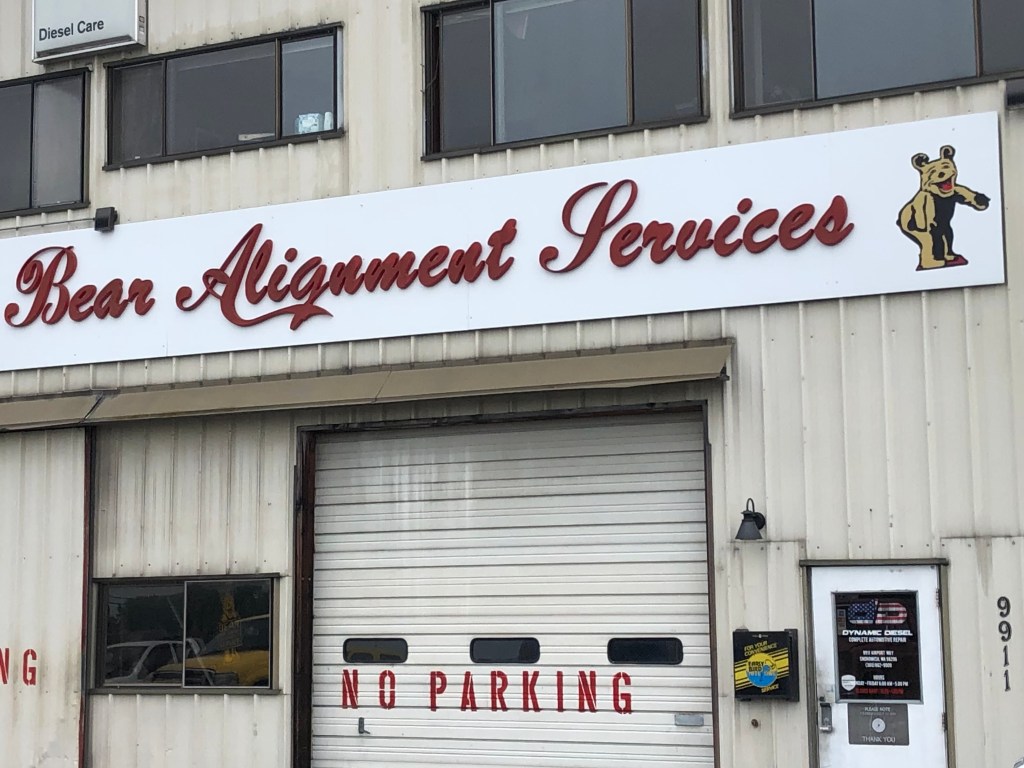
Refreshed and rejuvenated by a good stout, I got back in the car and set out on the last few miles of the trip. And just when I didn’t think my luck could get any better, I spied a Golden/Laughing Bear sign! And what’s more, unlike some of the other such signs I’ve encountered, this one was affixed to a still-operating wheel alignment business. Surely the gods are smiling on me today.
And then, after all this, I was driving the final mile of Route 2. I had arrived in Everett (pop: 111,000, which might be about equal to the combined population of all the other towns I visited along Route 2!) The western terminus of Route 2 in Everett is where Maple Street and Interstate 5 meet. Disappointingly, I was unable to find a sign marking the end of the westbound highway. (I couldn’t find a sign marking the beginning of US 2 East, either.) So all I can show you by way of evidence is this photo of where, in theory, the route ends:
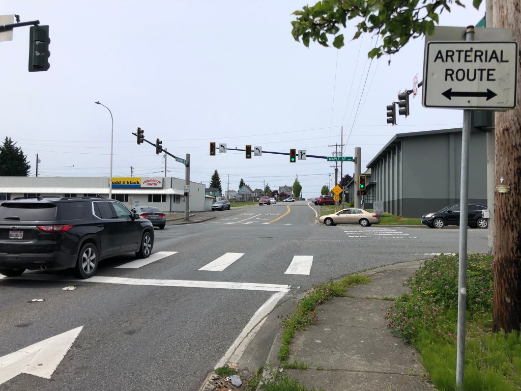
There was no brass band, no one to hand me a key to the city, no banner strung across the roadway for me to snap with my car. My journey simply ended.
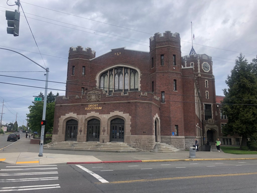
Having dispensed with Route 2, I next headed down to Tacoma (pop: 216,000) to visit some places where my grandmother–and, later, my dad–grew up. This blog isn’t the place to go into any detail about the sites I saw, but I will offer this photo of Grandma’s high school, which is still educating students after 107 years.
Finally, I will be making a final post tomorrow about a memorable visit I made to an abandoned Old West theme park in Wisconsin. I mentioned it in passing in my May 25 blog, but I didn’t have enough time to do it justice. This I will do tomorrow while I’m waiting for my plane.
Until then.

Wondering if you, the shrewd and well-travelled government bureaucrat could work the levers of jpower and justice–in WA state or WA, DC, whichever, to have a ceremonial installation of a ‘Route 2/Start or Begin signpot set into terra firma at the apprepriate place. Part of your legacy to this land! Glad you’re (nearly) safely home.–Rman
LikeLike
That’s actually not a bad idea. I’m not above greasing a few palms. And after that, I might even start on getting a Route 2 sign put up….
LikeLike