Editor’s note: Given limited travel opportunities these days, I decided each Thursday to post travel stories I’d written prior to starting this blog. The following is from a cross-country trip I made along the length of US 50 in the spring of 2018. I hope you might vicariously enjoy this trip while we’re all hunkering down at home. Because this is a longer trip (a week and a half), I’m going to post each of the daily entries over each of the next 10 days.
I think I’ve achieved the Zen of US 50. There’s something very freeing—what the current argot might call “in the moment” – about living for almost a week on this road. In some ways, it’s ever-changing–—passing through 12 states, four time zones, countless communities, and various climates and topographies. It reveals the diversity at least of some of America. Unlike an interstate, which studiously avoids small towns, US 50 seamlessly wends its way through the middle of communities, with houses lining either side of the road. In many communities, US 50 is literally “Main Street.”
Despite revealing enormous diversity of our country, US 50 is also a very constant companion. It’s primarily a two-lane ribbon of asphalt with standardized signage. At this point, after driving it for over 2,000 miles, I recognize the familiar “feel” of 50. One of you asked me if I need to use GPS to keep up with all the twists and turns. The answer is no—US 50 is extremely well marked. You know when you’re on it. I haven’t gotten lost once. And, as you know, for me, that’s saying something.
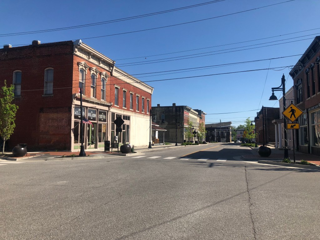
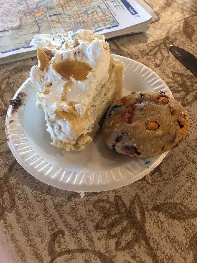
This morning I passed through the greater St. Louis metro area and then crossed the Mississippi River into Illinois, where the countryside is remarkably green and open. It was a very calming and pleasant drive through the state, and soon I found myself in southern Illinois. I’ve noticed that the communities (that is, at least the ones along US 50) seem to be tidy, well-kept, solid communities. This contrasts with the ghost towns of Nevada and the worn, dying communities of eastern Colorado and Kansas. In Illinois I stopped at an Amish restaurant, nestled in an Amish community replete with simple farms and horse-drawn buggies. The lunch wasn’t great, but the dessert (peanut butter pie) made it worth it. I explained to the waitress that I was traveling all of US 50. She seemed confused, not quite understanding what this entailed, and why I would do it. But she wished me safe travels anyway.
After driving through Indiana all afternoon I stopped for dinner in Lawrenceburg, which sits right on the Ohio River. The road had flirted with the River a little bit before I arrived in Lawrenceburg, so I wasn’t quite sure whether I was now on the Indiana side or the Ohio side. I asked my waitress if I was in Ohio, and she burst out laughing. “No!” she spluttered. “We’re in Indiana!” Now, maybe they don’t get many tourists, but surely it’s not that unreasonable to not know which side of the river you’re on, when you’re 2000 miles from home. Changing the subject, I asked what kind of dark beers she had on tap, and she offered me a lager (which is so light it barely qualifies as beer). Undaunted, I ordered dinner (and a milk stout). When she returned with my meal, the waitress noticed my atlas and asked where I was heading. I told her I was driving US 50 coast to coast. “50 doesn’t go coast to coast!” she proclaimed. “It’s just in Indiana!” I showed her on the map that US 50 does indeed span the country. She seemed astonished. She called to another waitress to come over and get a load of this. “Can you believe it? Our 50 starts in California!”
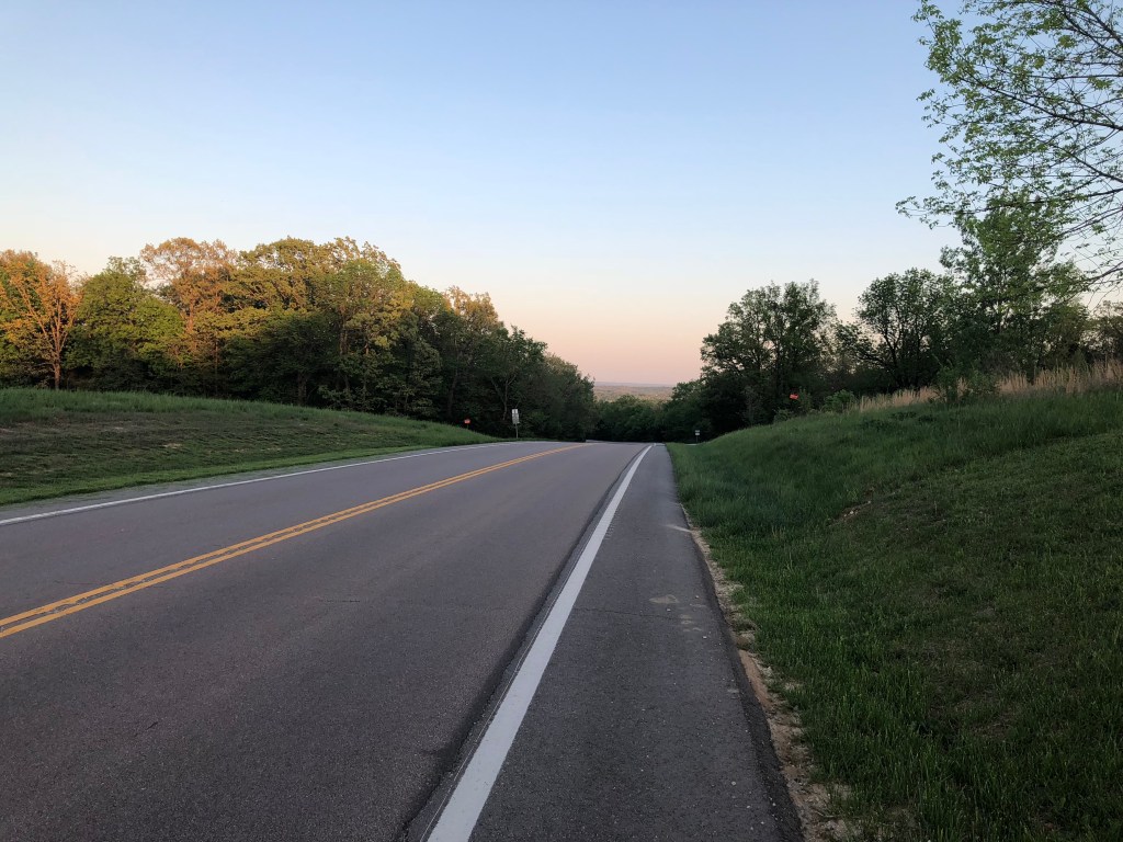
After dinner I did in fact cross the river and enter Ohio proper. US 50 skirts around Cincinnati, but I did get a glimpse of what can only be described as the Rust Belt, replete with rusty railroad bridges and other decaying infrastructure. Very quickly, however, the road entered hilly, forested land which felt like I was in the Santa Cruz mountains. I ended up stopping in Athens, OH for tonight.
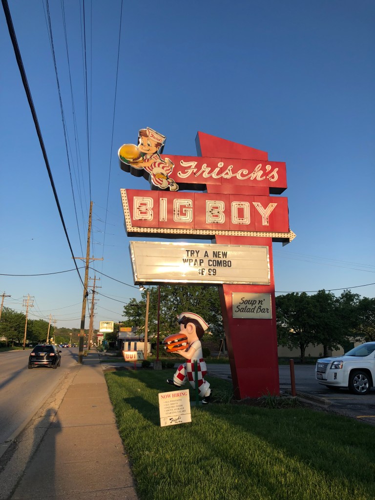
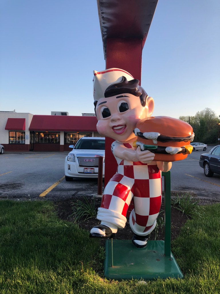
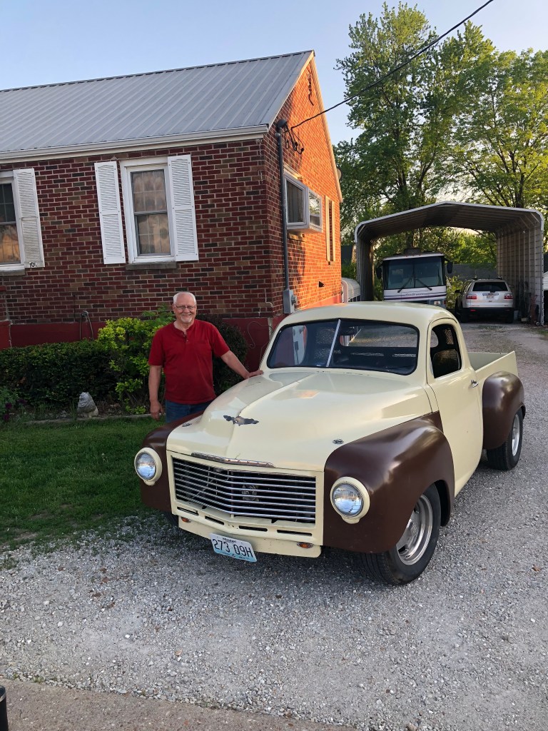
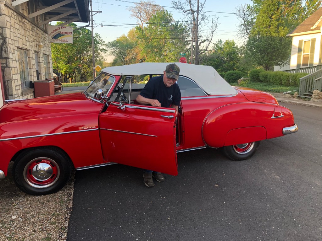
And now, a few photos from the day: