It’s impossible for me to see any kind of marshmallow confection without thinking of this abomination.
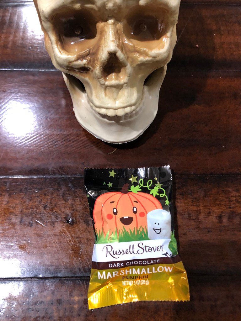
But Russell Stover, that purveyor of cheap drug store candy that is always available as a last-minute backup plan when you’ve forgotten your anniversary, has produced the definitive generic Halloween marshmallow candy. It’s a marshmallow blob, allegedly shaped like a pumpkin, coated in a chocolate-like substance. What’s not to like?
I don’t think these are commonly provided to trick-or-treaters at the door, but I do remember seeing them in the free candy bowl on the Waste Management table at a Southern California recycling fair one October. I’m not certain that anyone’s ever actually purchased one to consume themselves. Anyway, let’s get down to scoring!
Dimension 1: Packaging. Well, this is a little lacking in the spookiness department. The smiling marshmallow looks like something from a Saturday morning kid’s cartoon from the early 1970s. And the smiling pumpkin looks like Nancy Pelosi. I’m just not feeling it. Zero points.
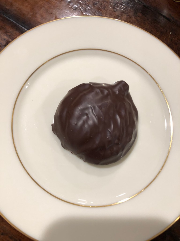
Dimension 2: Appearance of the Treat. Well, if this is what a pumpkin looks like, I think you’ll see a lot of pumpkin shapes in your standard diaper. Zero points.
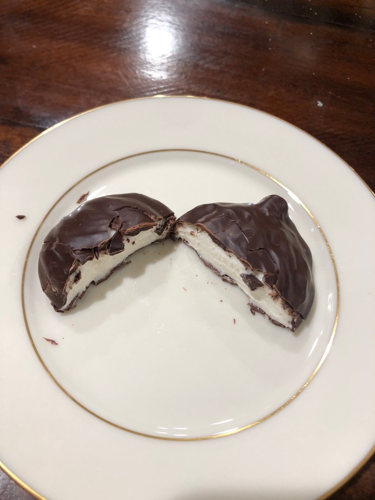
Dimension 3: Taste. Here I was pleasantly surprised. True, the dark chocolate doesn’t taste any more like chocolate than Nestle’s Quik, but the marshmallow filling is light and fluffy and inoffensive. It would be better if it had a little mint flavoring or something a bit stronger than bland marshmallow, but it wasn’t bad. And the texture was very acceptable indeed. 2 points.
Dimension 4. Value. This is where Russell Stover normally kills it. A one-ounce candy will set you back four bits. Compared to a Reeses, say, that’s downright affordable. 3 points.
Steve’s Sweetoberfest Score: 5 out of 12, which qualifies as a modest TRICK.
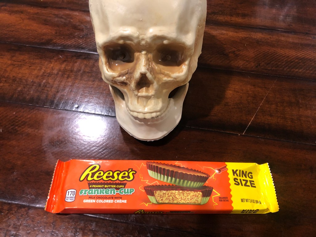
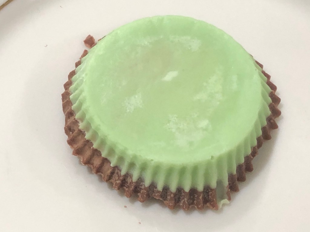
For our kick-off treat, we are sampling Reese’s Franken-cup.
This is a new candy for 2020, and I had to travel all over the Los Angeles basin to find it for this review. It appears to only be available at those purveyors of fine chocolates: Target and WalMart.
The Franken-cup is similar to a standard Reese’s peanut butter cup, but the lower half of the chocolate cup is replaced with “green creme.”
Franken-cup, inverted to show the “green creme.”
This of course raises the question: what is “creme,” exactly? Merriam-Webster defines it as “a cream or preparation made with or resembling cream when used in cooking.” So, for this candy product, it seems “creme” is a “preparation…resembling cream.” Doesn’t that sound appetizing?
Let’s apply Steve’s Sweetoberfest Scoring rubric to the Franken-cup. (Each treat will be judged along four dimensions, with up to three points available for each dimension.)
Dimension 1–Packaging. Not bad. It’s the standard Reese’s orange packaging, but there’s a closeup of two Franken-cups to show off that all-important green creme. An image of an electrode is emitting little lightning bolts, suggesting that the Franken-cup was created in a mad scientist’s laboratory. Points deducted for not including neck bolts on the picture of the candy, or placing it on an operating table, or incorporating some other trope evocative of Frankenstein. 2 points.
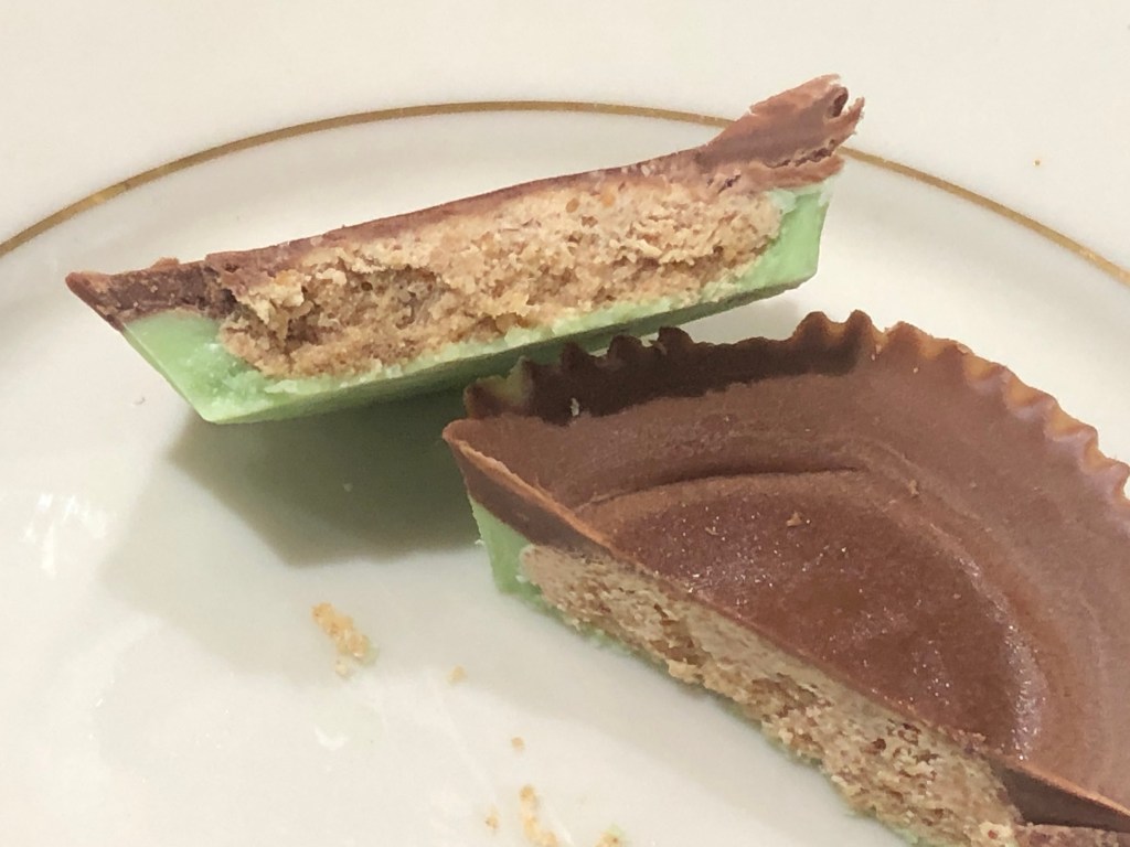
Dimension 2–Appearance of the Treat. Pretty clever to go with green on a Reese’s cup. It’s a surprising twist on a very familiar candy. The mold-green color is a good Halloween choice. I do wonder if they shouldn’t have also colored the filling, though. Also, I think they missed an opportunity to emboss some kind of Frankenstein motif in the top of the cup. Or maybe print something on the paper wrapper that each cup sits in. 2 points.
Dimension 3–Taste. It’s hard to improve on the standard Reese’s. Chocolate and peanut butter are a classic, satisfying combination. The green creme changes things a bit. It’s sort of interesting, adding a different texture and a sweeter, creamier taste. But it ends up quite cloying on the palate. 2 points.
No candy was harmed in the making of this blog.
Dimension 4–Value. This “king size” package costs $1.69 at Target. Points deducted for making the cup so damn small. Maybe the regular Reese’s are this small nowadays. But in my day, Reese’s cups were much bigger. A package of two cups was 1.8 ounces, which means four cups would weigh in at 3.6 ounces. This “king size” package of four Franken-cups is only 2.4 ounces. 1 point.
Steve’s Sweetoberfest Score: 7 out of 12, which qualifies as a minor TREAT.
Tuesday was Day 2 of my road trip, and unbeknownst to me in the morning, it would be the last day of the trip.
I woke up in Bishop (population: 3,900). Located on US 395 at the northern end of the Owens Valley, Bishop is a pleasant, prosperous little town — a far cry from almost all the other towns I passed along the eastern Sierra the day before. Bishop is in Inyo County, which is the second largest county in California in terms of area…and yet Bishop is the only incorporated city in the whole damn county.
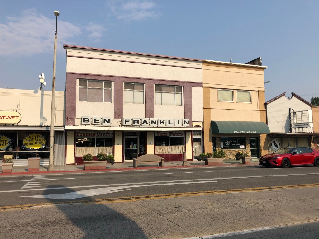
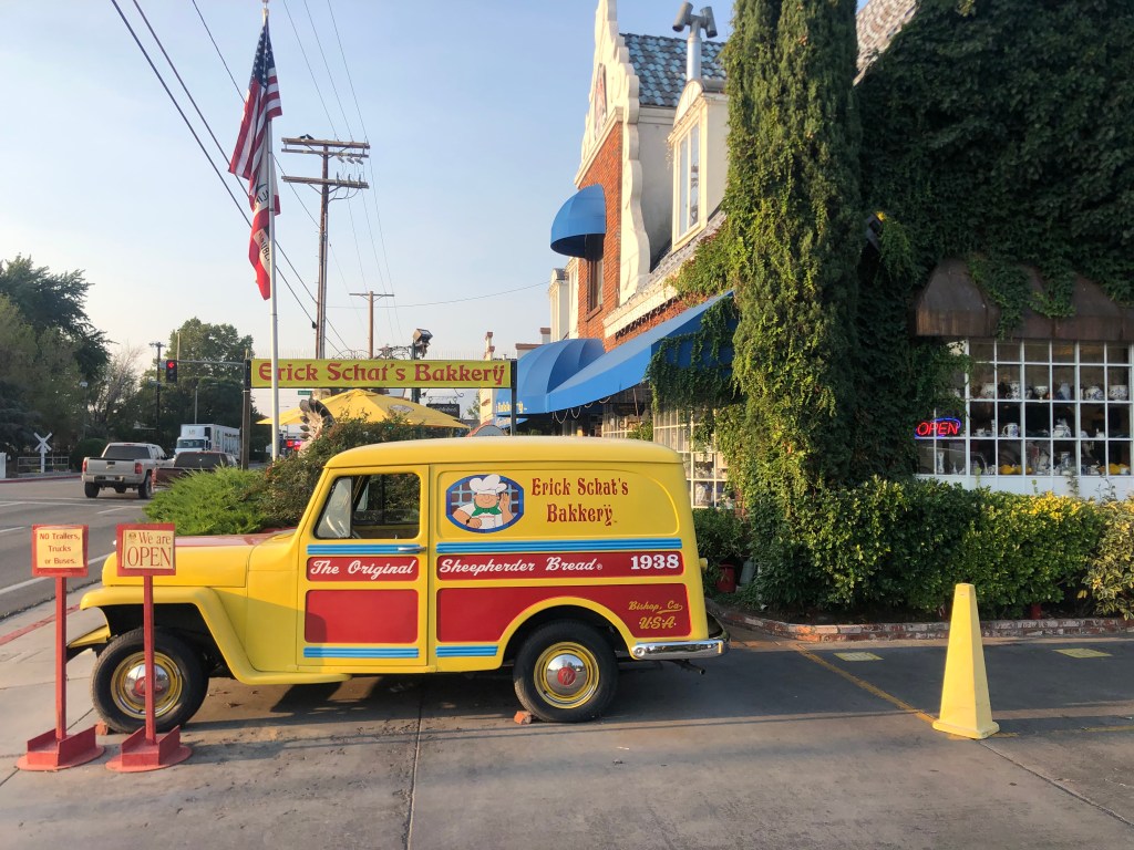
The thing that immediately struck me about Bishop is that along its main drag (i.e., US 395), virtually every business is a homegrown, independent operation. The only name I recognized was an old Ben Franklin five and dime…and it gets a pass because its virtually extinct. I honestly didn’t even think Ben Franklins still existed.
“Lost time is never found again.”
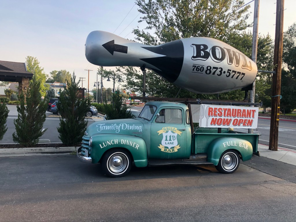
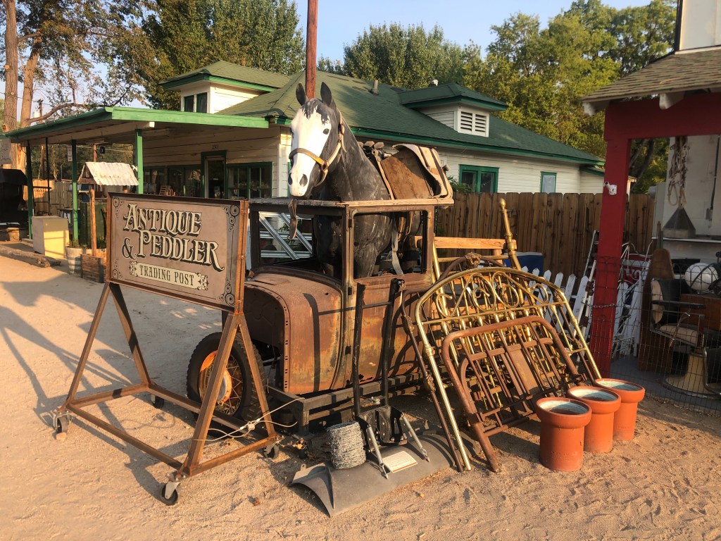
The second thing that struck me about Bishop is that every business seems to use a vehicle as its calling card. Check out these examples:
Striking out in search of business…A roll-ing advertisementPromoting a neigh-borhood business
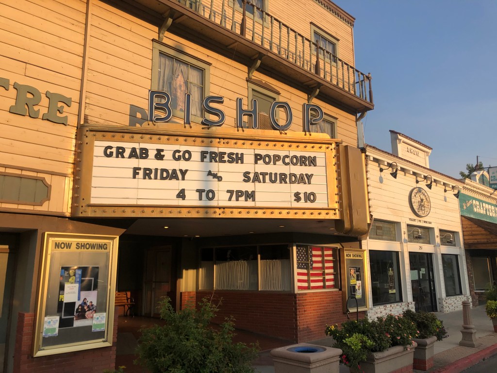
Finally, many of you know I have a fondness for old theaters. The specimen in Bishop isn’t especially ornate or even attractive, but I do like how it matches the vibe of the town.
Ten bucks for popcorn — even “fresh” popcorn — sounds a little steep, doesn’t it?
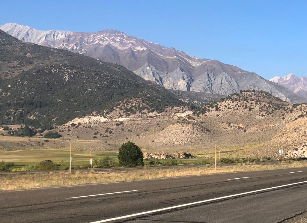
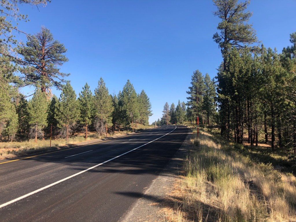
After a mighty tasty breakfast bagel from Schat’s (I find when I’m in small towns like this I use phrases like “mighty tasty”), I got back on the road and headed north. It was a very pleasant morning ride. The air was crisp, pine trees dotted the landscape, and the Sierras appeared even closer than they did yesterday.
“Another glorious Sierra day in which one seems to be dissolved and absorbed and sent pulsing onward we know not where.” – John Muir
Soon I was rising high into the mountains, and the landscape transformed with heavier concentrations of conifers. I passed June Lake and Mammoth Lake up around 8,000 feet.
A far cry from the Mojave, where I’d been just yesterday.
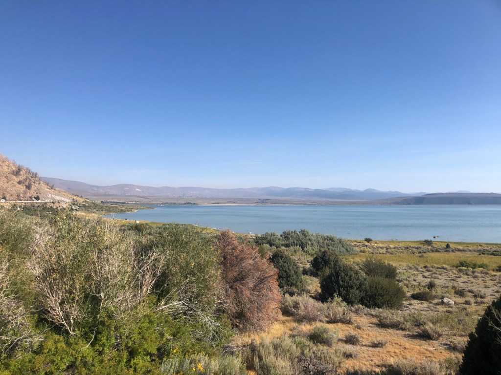
After a bit I found myself passing Mono Lake. Unlike Owens Lake, which I’d passed the day before, Mono Lake is still very much a real lake. When I was in high school, back in the Pleistocene era, “Save Mono Lake” was a rallying cry. The lake was another victim of Mulholland’s efforts to redirect water to Los Angeles. The water level had dropped precipitously, and ultimately locals were able to sue LA to partially relent. Since that time, the lake level has risen somewhat.
Mono was on its way to being No Mo’, but then the courts intervened..
But one result of the lower water level is that the lake’s renowned tufa formations are exposed. The tufa towers are essentially limestone. Because the lake has no drainage to the ocean, minerals concentrate in it over time and this give rise to, among other things the tufa towers. As the lake’s water level has dropped, the tufa towers have been exposed.
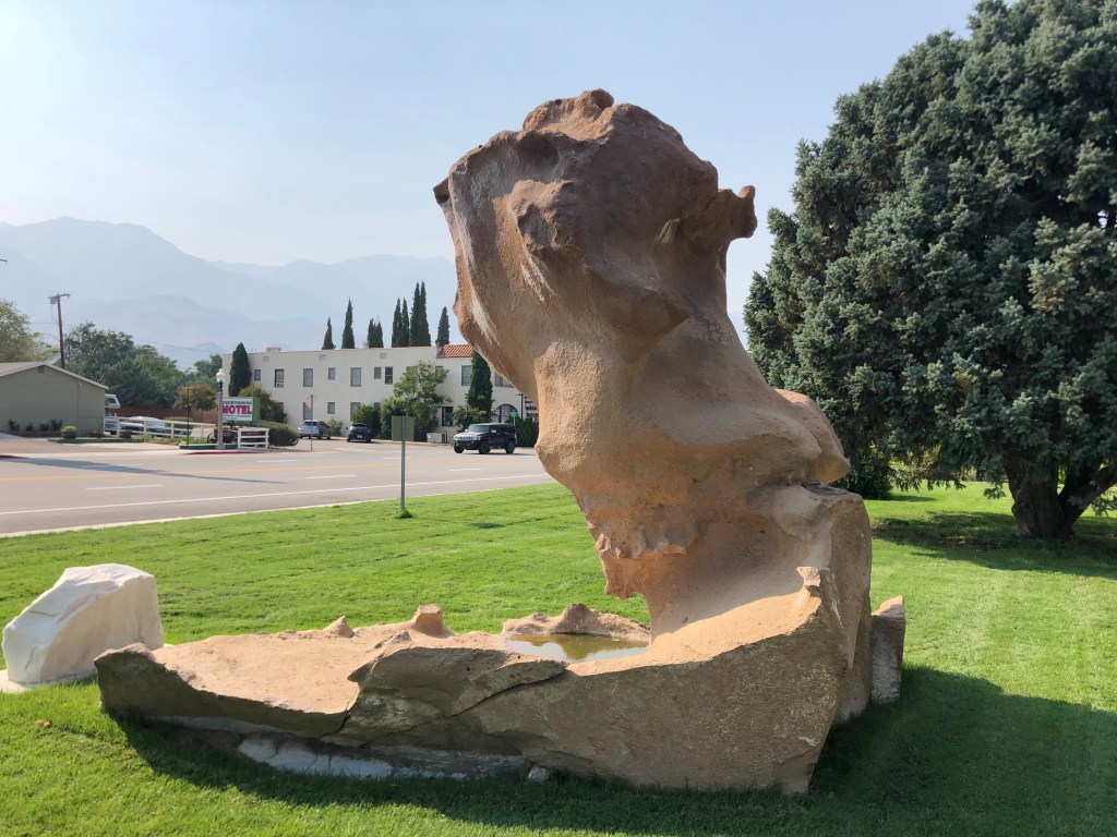
In nearby Independence, which is the county seat of Inyo county, a tufa formation is on display in front of the courthouse.
The unofficial mascot of the region. I’ll bet you the local businesses are forever announcing “Tufa One” sales.
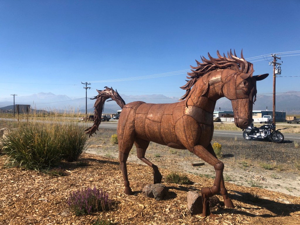
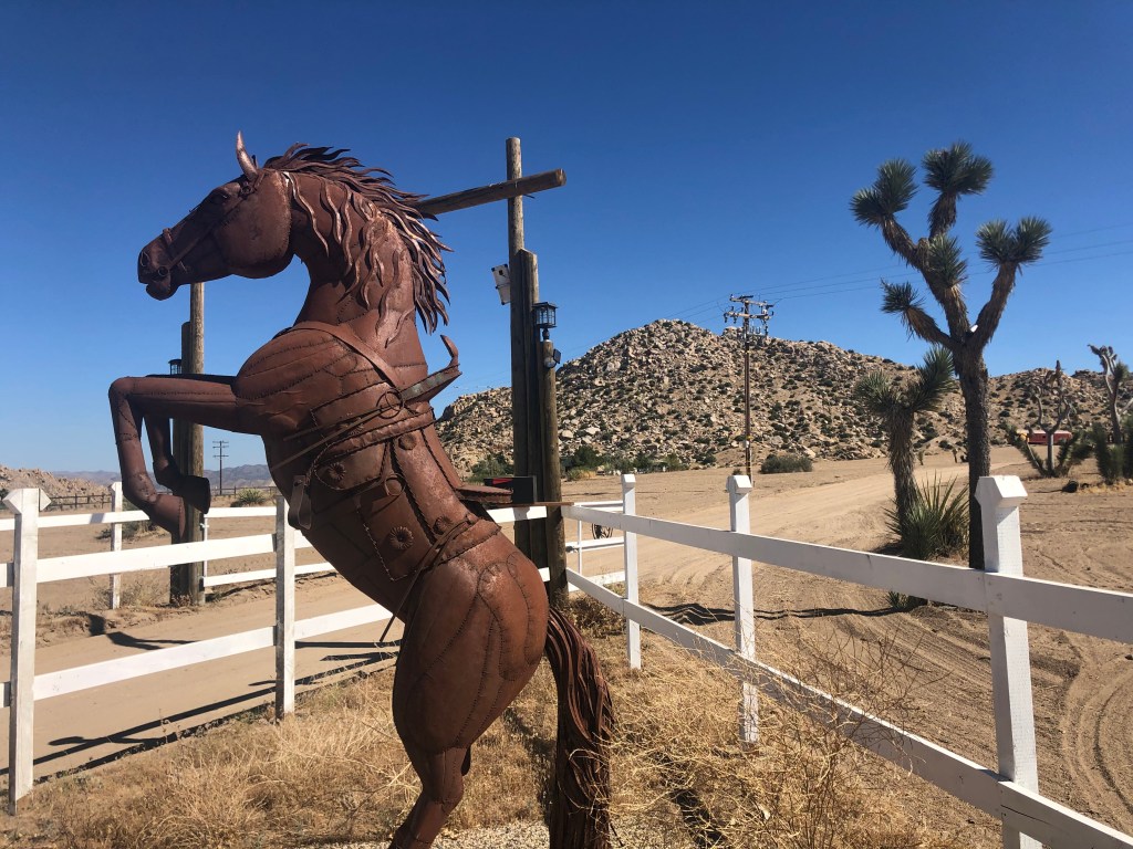
Now I was entering Bridgeport (population: 575), which is about 40 miles before the El Camino Sierra leaves 395 and heads west on CA 89. That junction is at Topaz Lake, which is on the border with Nevada. I was looking forward to these upcoming attractions when I saw a large portable CalTrans sign (with all the light bulbs that (typically mis-)spell an important message. It informed me that US 395 was closed ahead, and directed me to a detour. I was near a ranger station, and went in to ask how I could get to Topaz Lake. “It’s on fire,” the ranger told me. I think she meant “on fire” not in the Cuyahoga sense, but rather the area surrounding the lake was on fire. Evidently lightning had sparked the fire a couple of days earlier, and it had already burned about 14,000 acres. I could only go about another 15 miles on 395 before I’d be turned back.
At least I got to see this cool horse sculpture in front of the ranger station.
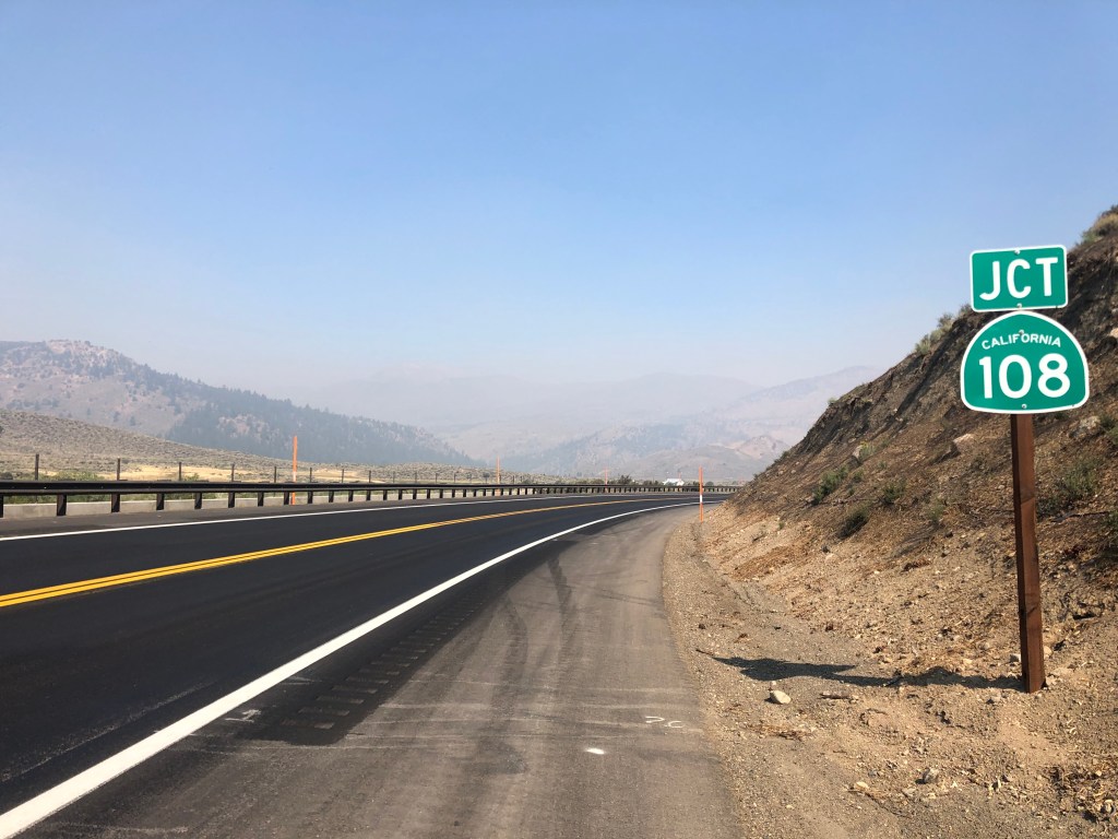
I thanked the ranger for the information and consulted my map. There was really no practical way to get back onto the El Camino Sierra without an enormous detour. And in any event, I’d have to skip a good chunk of the route. So, since I’d originally planned to return homeward along the western Sierra, I figured I’d just cross over the mountains from here. Conveniently, the CA Route 108 turnoff was just about 15 miles further north on 395, which would be before the roadblock. And CA 108 would take me over Sonora Pass and drop me onto the western side and into the city of Sonora.
Plan B.
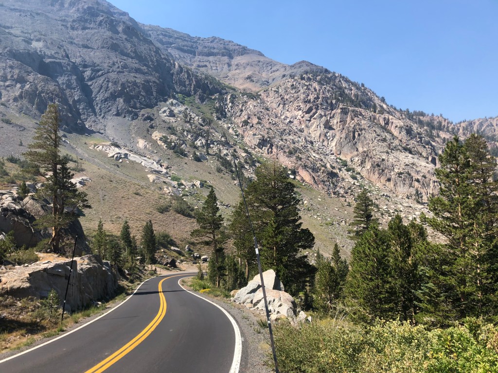
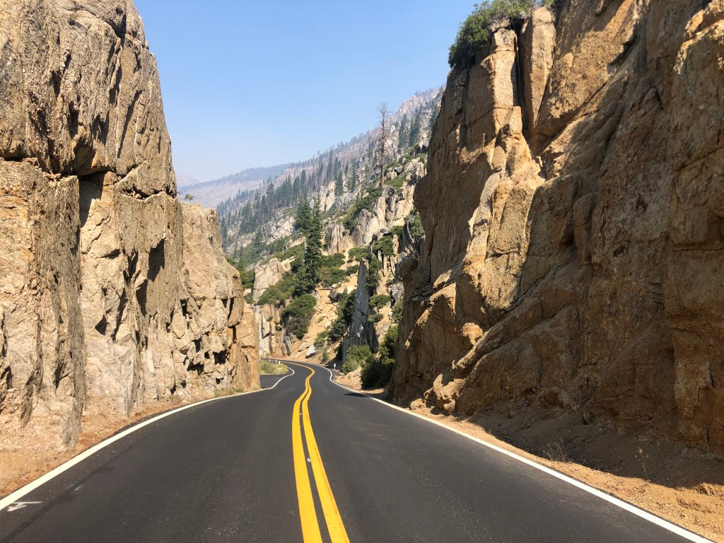
CA 108 is a stunningly beautiful road, winding around and cutting through the Sierra Nevada’s granite obstructions, reaching a height of about 10,000 feet, and then dropping precipitously — I mean frighteningly so — on the western side, then leveling out in open meadows. A hundred and fifty years ago, pioneers would spend weeks trying to get their asses (literally) over this pass.
“The mountains are calling and I must go.”Good thing I didn’t eat that second doughnut this morning…
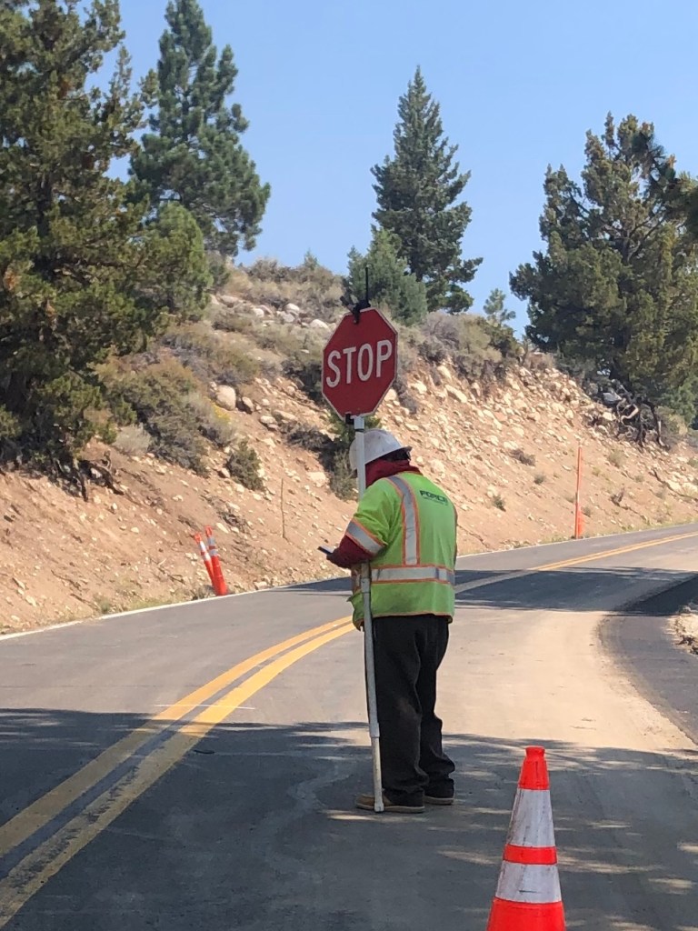
The experience of crossing the Sierras was interrupted for 20 minutes, when a flagman stopped me for no discernible reason. He spent the entire time on his cellphone with his back to me, and had a boombox that was playing death metal. I’m not making this up.
“Let’s see…where is that Slayer fan site?
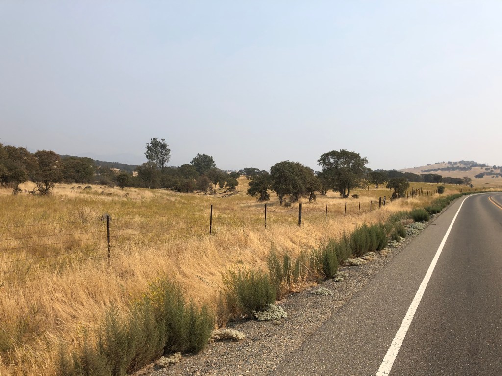
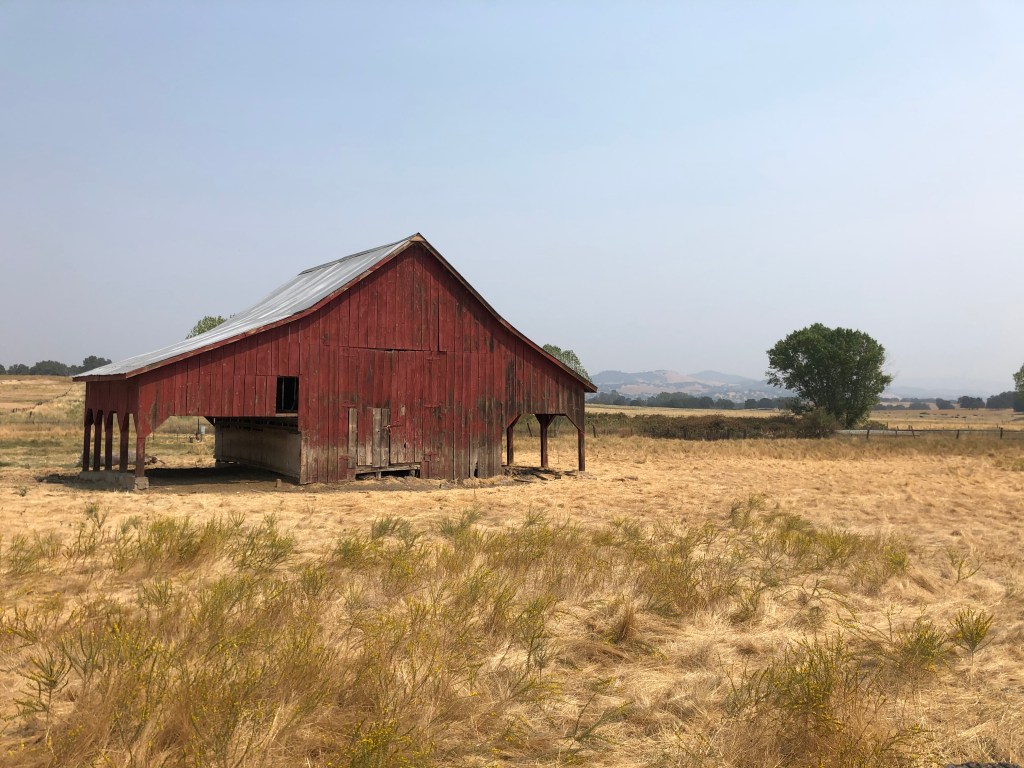
Ultimately, I arrived in Sonora without incident, and after receiving sustenance in the form of two gas station corn dogs, I headed south on CA 49. This is the iconic road that cuts through California’s historic gold country. Since I’d come over the mountains further south than I’d originally planned, I missed a good chunk of 49. But now heading south from Sonora, I was enjoying the rolling fields and iconic valley oaks that characterize this part of California.
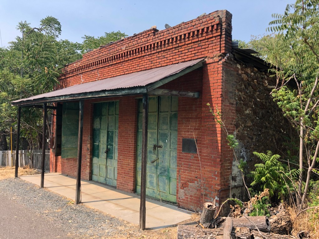
Soon I was passing through the town of Chinese Camp (population: 120). It’s essentially a ghost town, but in the 1850s it had about 5,000 residents, primarily Chinese, who were attracted by the Gold Rush but were forced out of neighboring towns.
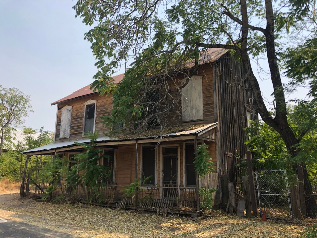
General store in Chinese Camp, built in 1849 and owned by predecessor to Wells Fargo.Unknown building in Chinese Camp. Sadly, there is no evidence that anything is being done to preserve these buildings.
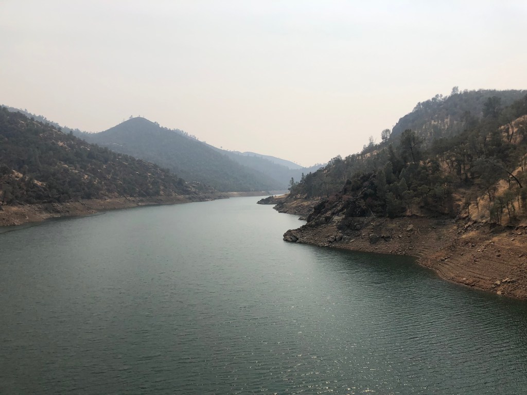
One other feature of this region is Lake Don Pedro. This reservoir was originally created when the Tuolumne River was dammed in the 1920s. But in 1971 the dam and reservoir were significantly upgraded, which led to a relentless advertising campaign for lakeside vacation rentals which I remember seeing on the UHF stations I watched as a child.
Lake Don Pedro. Incidentally, Don Pedro was one of the original prospectors in the area during the Gold Rush.
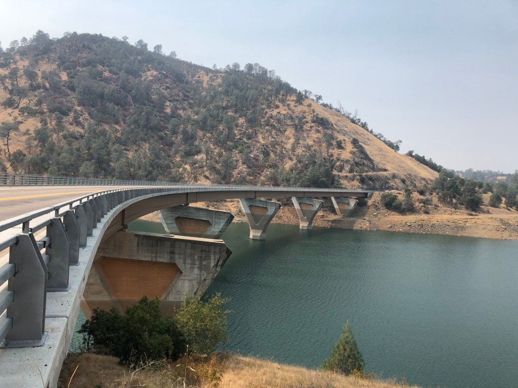
The James Roberts Bridge crosses the Tuolumne River near Don Pedro reservoir. It was part of the redesign of the reservoir in 1971. At the time, planners figured that the popularity of the lake and other factors would eventually require a four-lane bridge. So they built wide supports to allow for eventual expansion (projected for 1995). Alas, or thankfully, the traffic never materialized.
Like a Hummer H1, wider than it needs to be.
I continued heading south along the western Sierra foothills, and eventually connected with CA 99. I took soulless, anodyne freeways the rest of the way home.
Some day I still must drive the entire El Camino Sierra. Or maybe I’ll just drive that final portion of it that I couldn’t do on this trip. In any event, it was an enjoyable experience seeing a side of California (literally) that is often forgotten about.
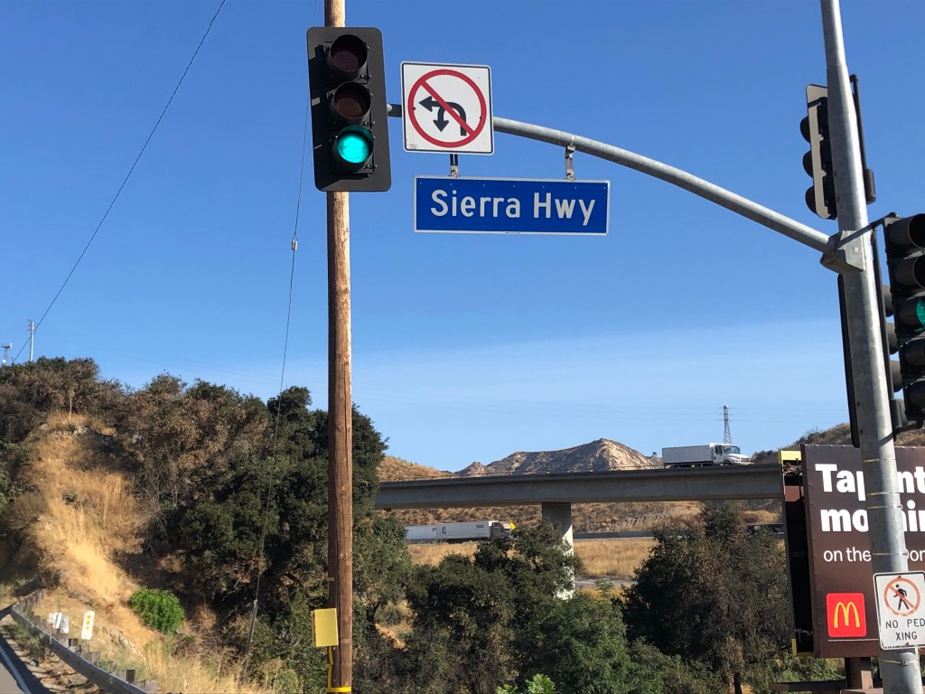
Alert readers may recall that in early July I stumbled upon road in the San Gabriel Mountains called the Sierra Highway. A little research revealed that it’s part of a longer, historic route running along the eastern Sierras from Los Angeles to Lake Tahoe. It began as a mostly unpaved path well over a century ago, and by the 1920s it had firmed up into a proper road for motor vehicles. Some people refer to the entire route as the Sierra Highway, but the formal name for the full route is the El Camino Sierra.
When I discovered that short segment of the road in July, I made a mental note to eventually travel the entire route. And that’s what I set out to do this morning. I saddled up the Triumph and after 45 minutes on LA’s Covid-cleared freeways I arrived at the route’s starting point.
Beginning of the Sierra Highway, in Sylmar
The Sierra Highway (which is the formal name of the first hundred miles or so of the El Camino Sierra) winds through the dry, brown hills of Santa Clarita and the surrounding environs, and then heads north in the shadow of the Sierra Mountains, cutting through the Mojave Desert and passing by Death Valley.
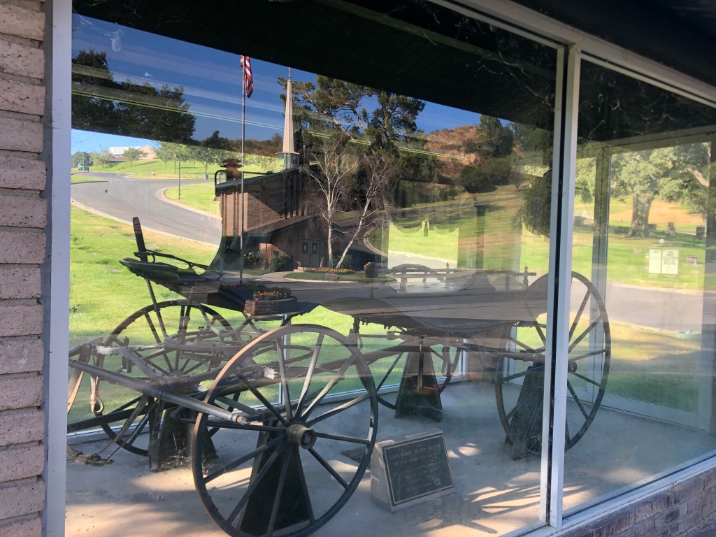
After about half an hour I came upon a cemetery that had an ancient, horse-drawn hearse displayed under glass next to the road. This is something you don’t see every day. I stopped to check out the display, and learned that it’s the last horse-drawn hearse of LA County, manufactured in 1860.
All it needs are some black horses and you’d be all set for Halloween.
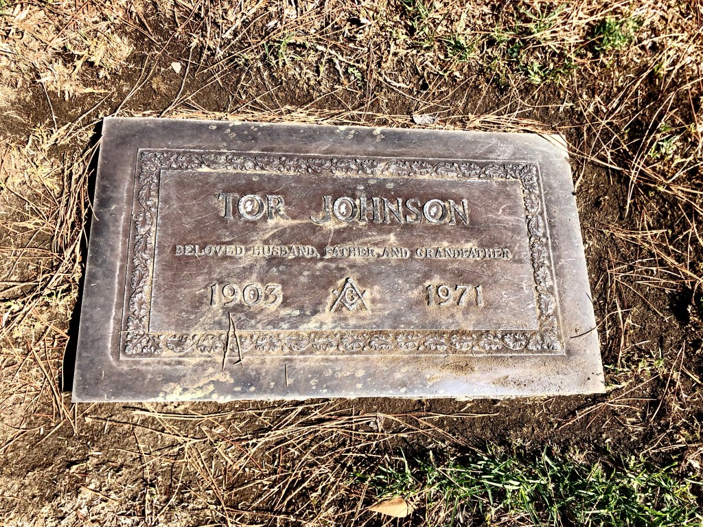
While hanging out at the cemetery entrance, I happened upon list of its famous inhabitants. Most I didn’t recognize, with the exception of Tor Johnson. You remember Tor Johnson, don’t you? He’s the ex-wrestler who ended up acting in B-movies, including, famously, Ed Wood’s Plan 9 From Outer Space, which is considered by many to be the worst movie of all time.
I think Tor just got his eye poked out by a wayward bazoom…
I spent the next 45 minutes searching for Tor’s grave, which was not an unpleasant way to pass some time, given the tree-shaded, rolling hills and quiet seclusion. Ultimately I was rewarded with this unassuming marker:
Might be time to turn on the lawn sprinklers.
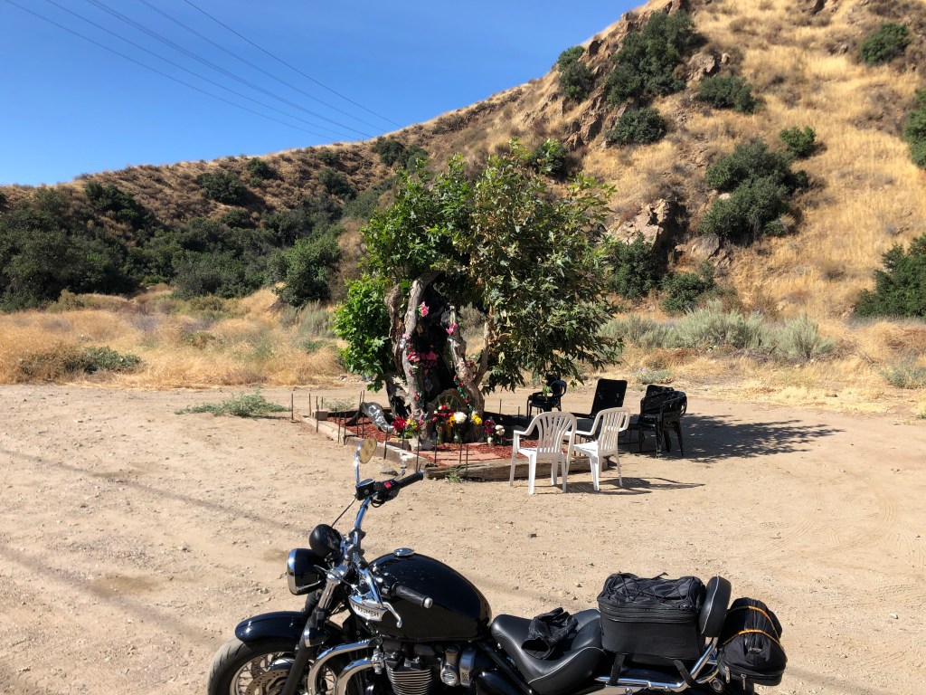
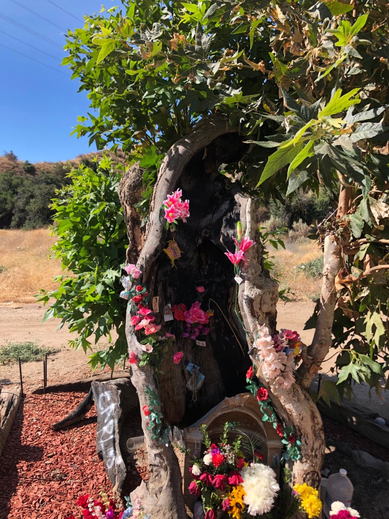
Returning to the Sierra Highway, I soon happened upon a roadside memorial. I stopped to investigate.
David Lynch, where are you?
It turns out this sycamore tree was burned in a fire in 2007. It survived, and people claim to see the outline of the Virgin Mary in the tree. I have a hard time seeing it, but then I’m not Catholic.
Locals call it Our Lady of the Charred Sycamore. I’m not making this up.
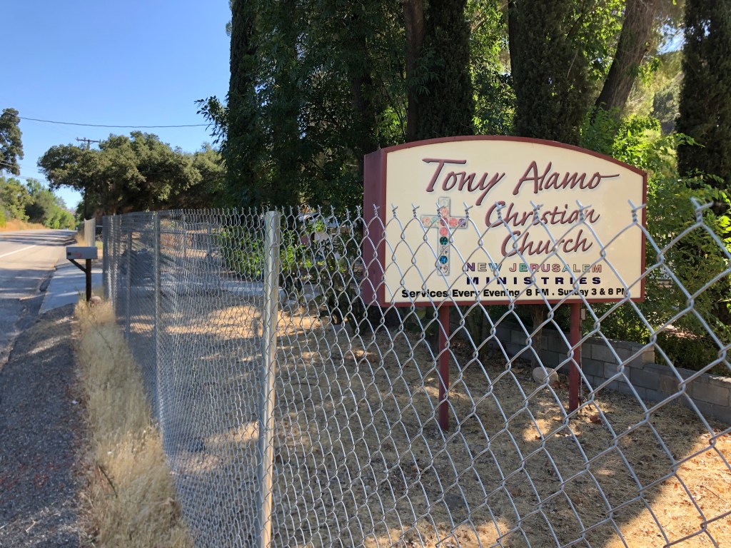
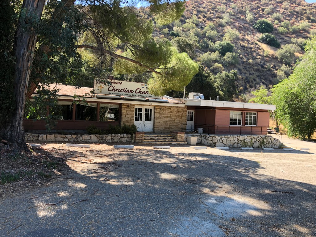
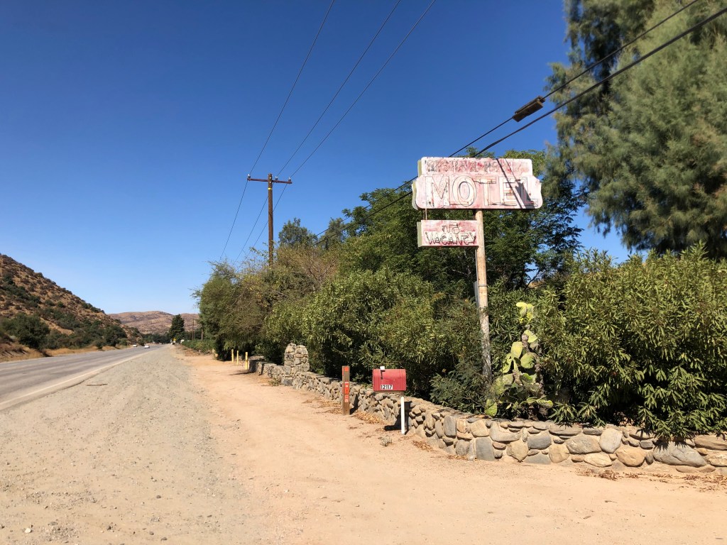
Continuing with the religious theme (sort of), a little further down the road I came across a sign for Tony Alamo’s Christian Church.
Unclear whether the fence is keeping the parishioners in or out.
It turns out Tony Alamo was originally a Jewish fellow named Bernie Hoffman. He founded a cult where he demanded that his followers hand over all their property to his church, and he ended up getting thrown in prison for rape in 2009. In other words, Tony Alamo Christian Church isn’t a church, isn’t Christian, and isn’t founded by anyone named Tony Alamo. The building now sits behind this fence, presumably waiting for the End Times.
Like the Holy Roman Empire, Tony Alamo’s Christian Church isn’t any of those things.
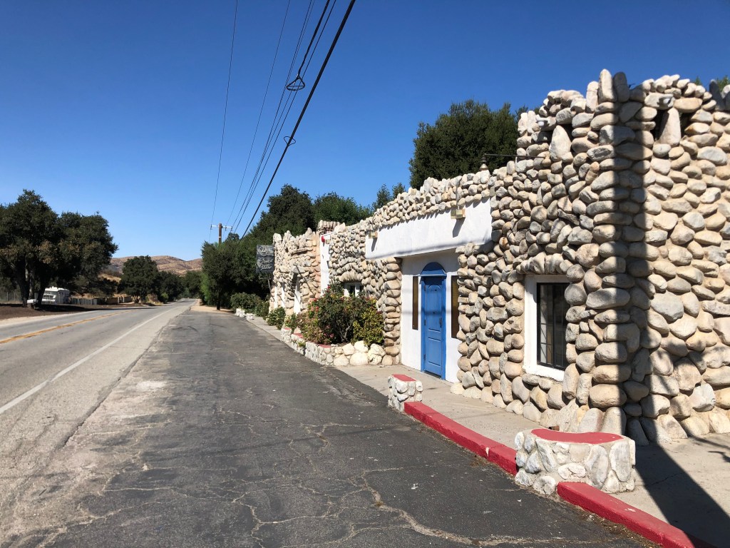
My next stop was much more pleasant: an old stone building that originally was constructed as a gas station in 1923. In 1971, Steven Spielberg used it as a truck stop diner in his movie Duel.
Watch out for murderous truckers…
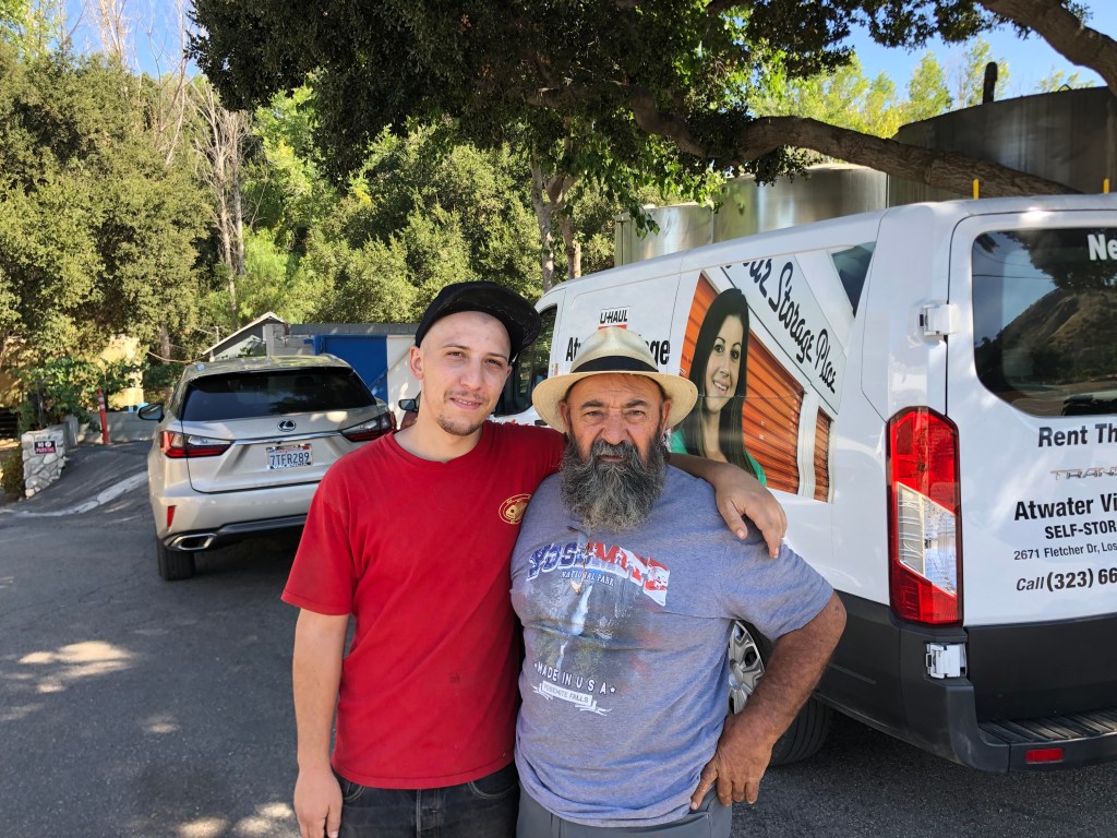
In 1980 the property was bought by Juan Alonso, who opened it as a french restaurant. He still owns it today, though it’s currently closed due to Covid. And I learned all this from talking to Juan himself and his son, Adrian, who happened to be standing outside when I stopped. (Evidently the property had once been a biker hangout, and Alonso was getting nostalgic when he saw me ride up.)
Juan and Adrian Alonso.
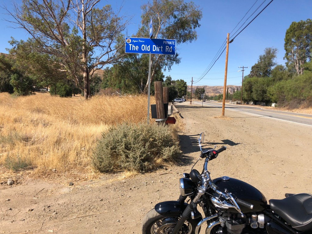
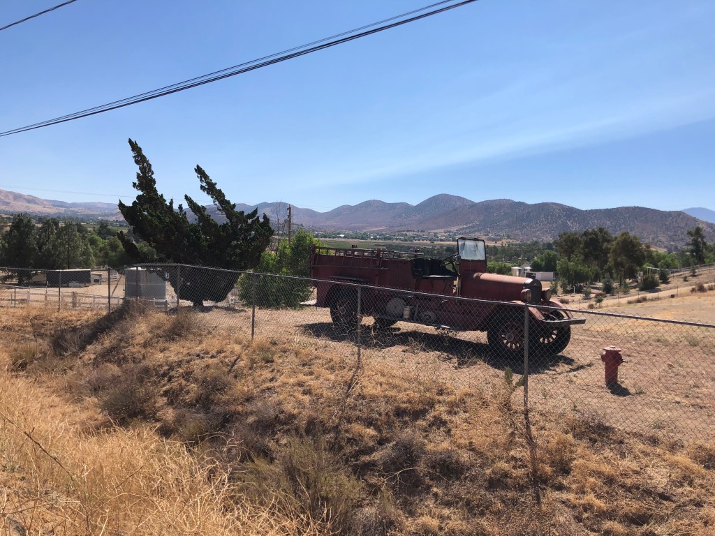
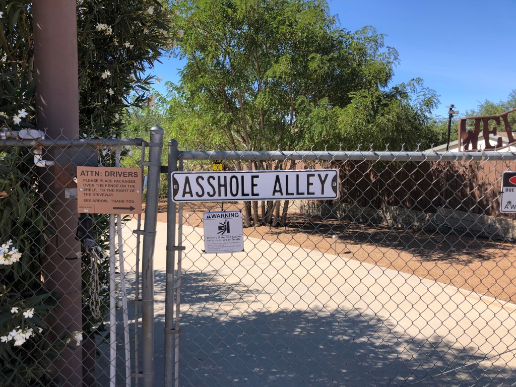
When I got back on the road, I was feeling the love of the Sierra Highway. It’s quiet, it’s historic, it’s quirky, and the people are friendly. Here’s a few random photos:
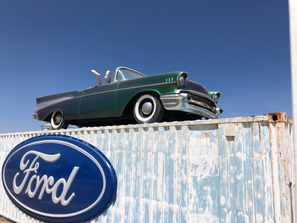
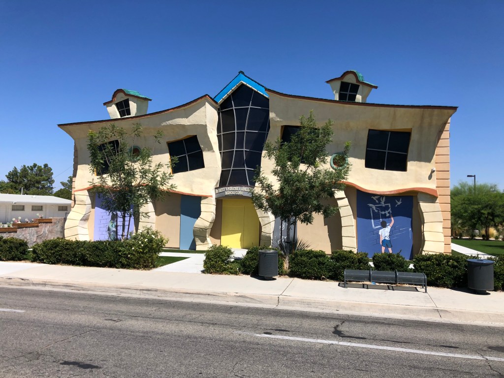
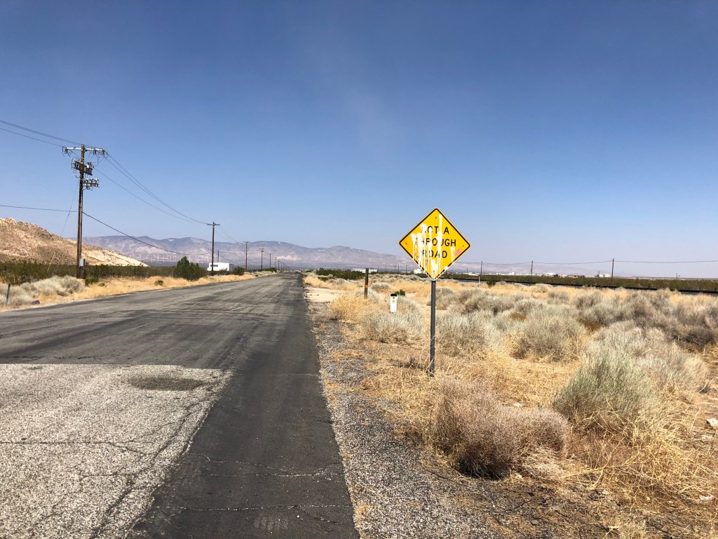
Points for clarity.A sign of past, better days.The fire plug is a nice touch.More Cats than Madame Sophie’s massage parlor…Because “The Old Dirt Road” was already taken.But it’s a Chevy!In Lancaster. Did Dr. Seuss use to live there?
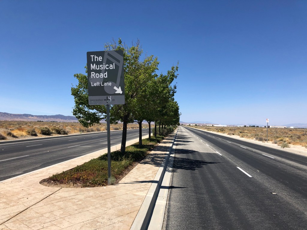
In addition to the melting house, Lancaster boasts something called the Musical Road. This is a stretch of roadway that has grooves cut into the payment which produce a sound that’s supposed to resemble the finale of the William Tell Overture. I’m not making this up.
Here’s the road in question:
Hi-yo Silver!
I tried riding the Triumph along the musical road, but I couldn’t make out any music. It may have been due to my helmet, or the fact that I have only two wheels. Here is how it’s supposed to sound.
Interestingly, the musical road originally was created for a Honda commercial, and was located on a different road. The neighbors complained about the noise, however. (Who wants to hear the William Tell Overture at all hours?) So the city paved over the rumble strips and reproduced the road on the non-residential Avenue G, where I encountered it today.
Finally, in the early afternoon, I came to the end of that portion of El Camino Sierra that’s signed as the Sierra Highway. Objective 1 of this trip was now complete. At this point, I was directed onto State Route 14.
End of the road.
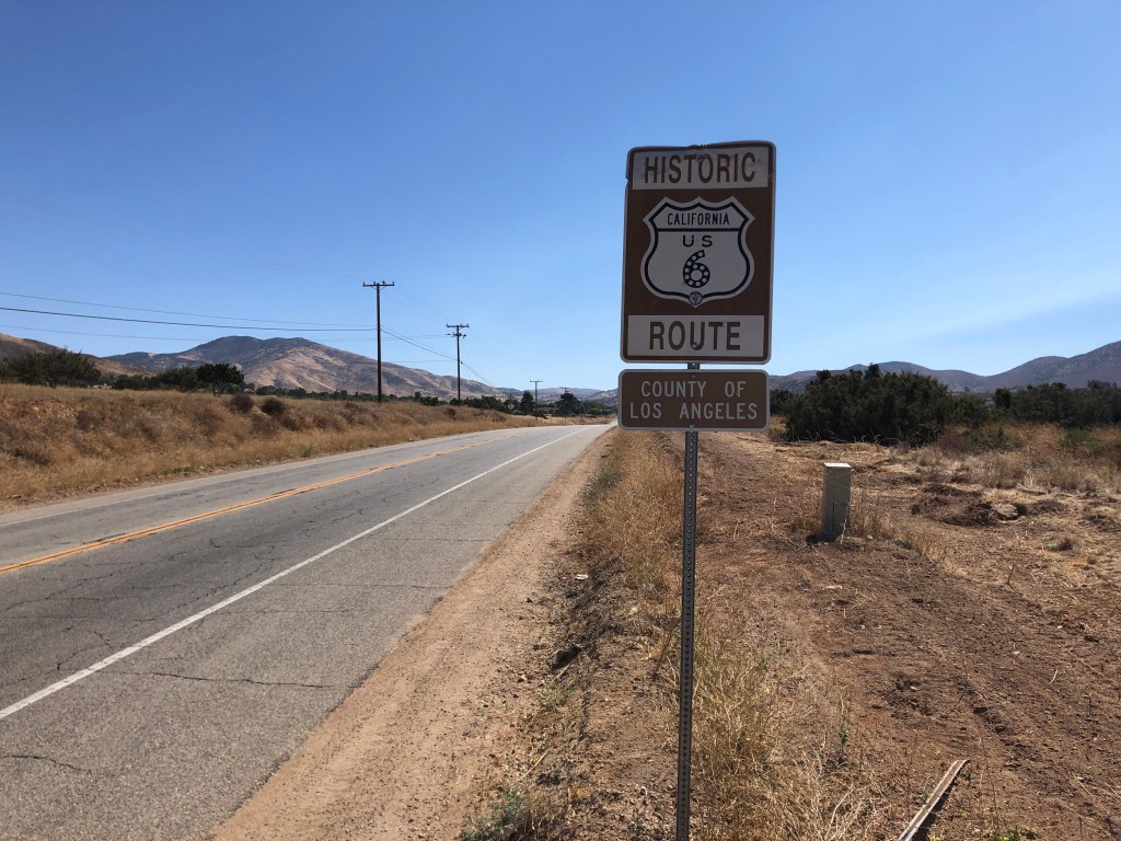
Speaking of route names, at one point a big chunk of El Camino Sierra was designated as US Route 6. US 6 is a transcontinental route that originally went to Long Beach, CA. But today, the western terminus of US 6 is in Bishop, CA (where I’m sleeping tonight). Signs along the old US 6 route give the “Historic” designation.
Created in the 1920s, US 6 is also known as the Grand Army of the Republic Highway.
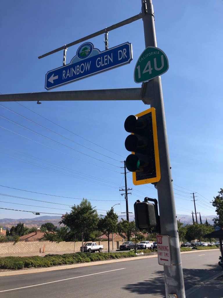
And since we’re on the subject of signs, I noticed an oddity back near the beginning of today’s trip. There’s a segment of old State Route 14 which was replaced by a new freeway some years ago. That old segment is now part of the Sierra Highway. But unlike most other decommissioned state routes, which get turned over to the city as local roads, the city of Santa Clarita hasn’t formally accepted transfer of the road. So it’s stuck in limbo, still technically a state road even though it’s no longer State Route 14. And so it’s signed as State Route 14U, with the U standing for “Unrelinquished.”
U got a problem with that?
But enough of with the signs. Where was I? Ah yes, not long after Lancaster my route took me onto US 395. This is a road I drove just a couple of years ago on a nice, long road trip. My point is that I didn’t stop much on 395, today since I’ve been along this route recently. (Some of you might have received my “blog” from that earlier trip, which was just clunky, misaligned photos pasted into a Word document and then emailed. I plan to transfer those old files over to the WordPress blog some time soon. Stay tuned.)
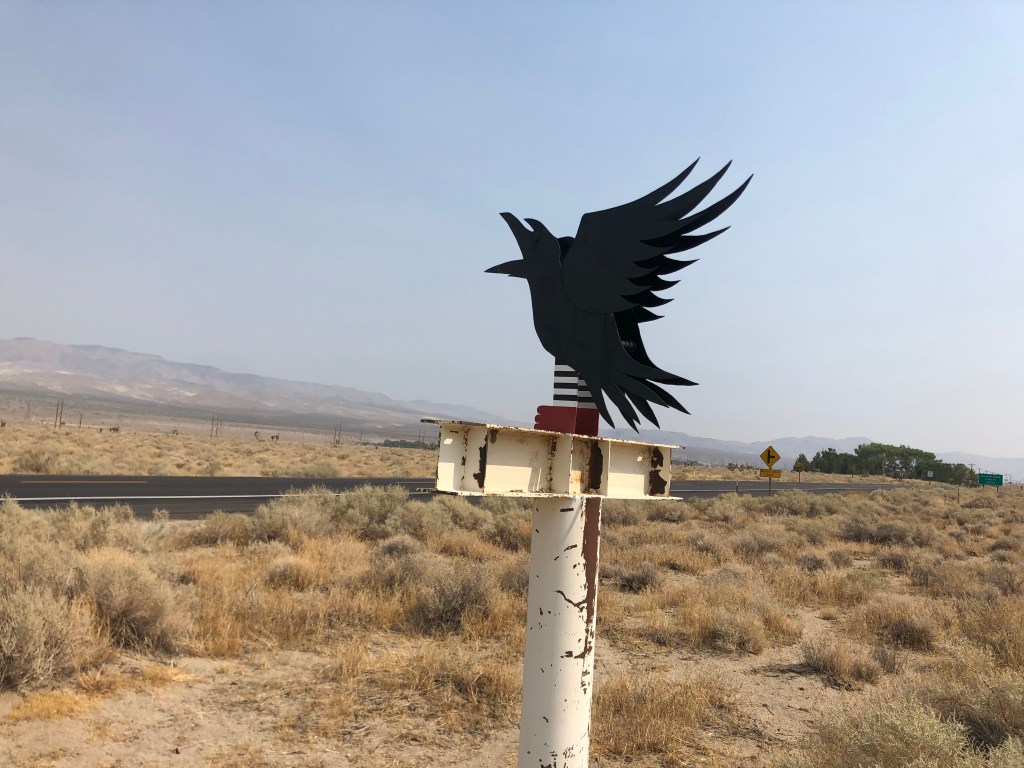
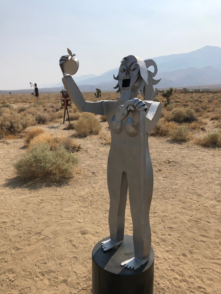
Today I did stop at an art oasis near Lone Pine. I had stopped here on my last trip, and found it to be a fascinating, whimsical little tableau, just sitting out in the middle of nowhere. What possesses people to create these pieces of art, and then just stick them in the desert? Today I noticed a couple of new art installations that I photographed:
Nevermore!It’s a very old story.
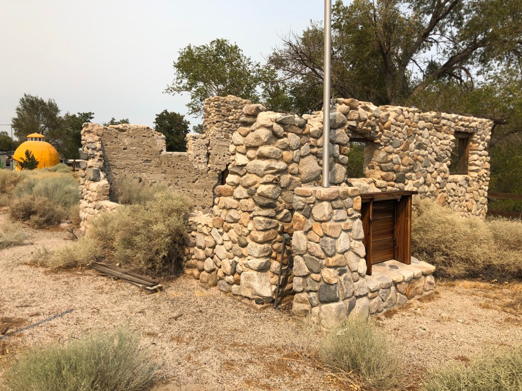
Back on the road, I came upon a sign directing me to a “historical point of interest” just ahead. I stopped in front of this building.
Looks suspiciously like Juan Alonso’s French restaurant
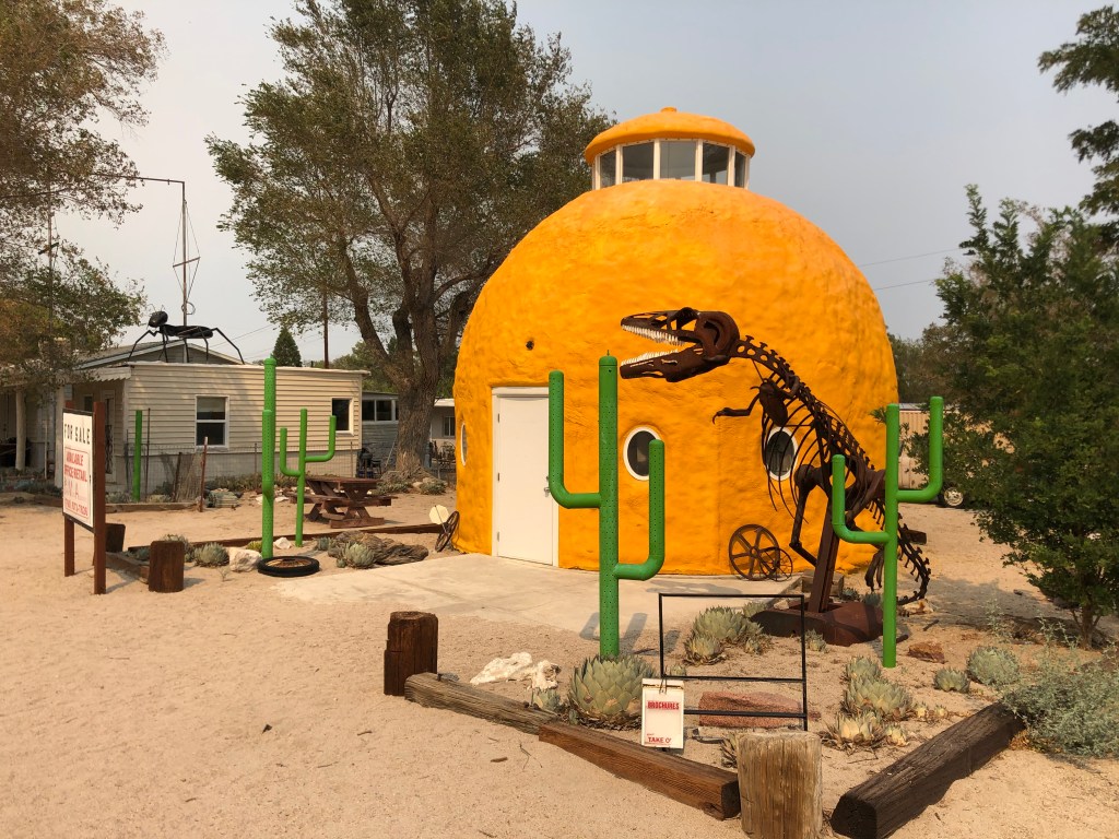
Frustratingly, there was no sign explaining what I was looking at. But if you look just beyond this structure, you see another oddity: A giant orange. Perhaps this is the point of historical interest that had beckoned me?
Note the ant on the building to the left.
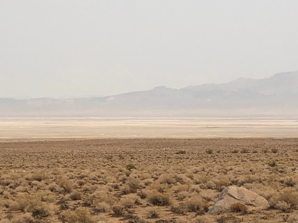
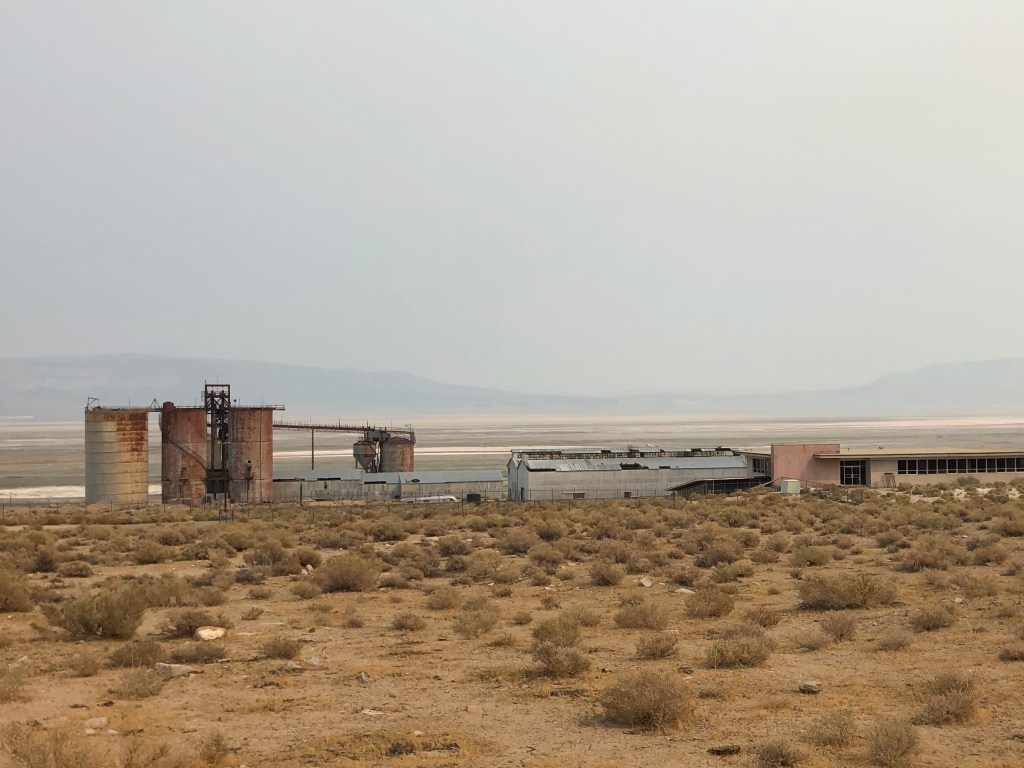
One of the more soulful parts of this stretch of highway 395 is Owens Lake. This dry, dusty, parched landscape is what’s left after William Mulholland redirected the Owens River through an aqueduct some 200 miles south to Los Angeles. I have some blog entries from a trip to explore that aqueduct a year or two ago. I will try to get that moved onto this platform some time soon.
Owens Lake, before….…and after.Desiccated skeletons amid Mulholland’s environmental disaster.
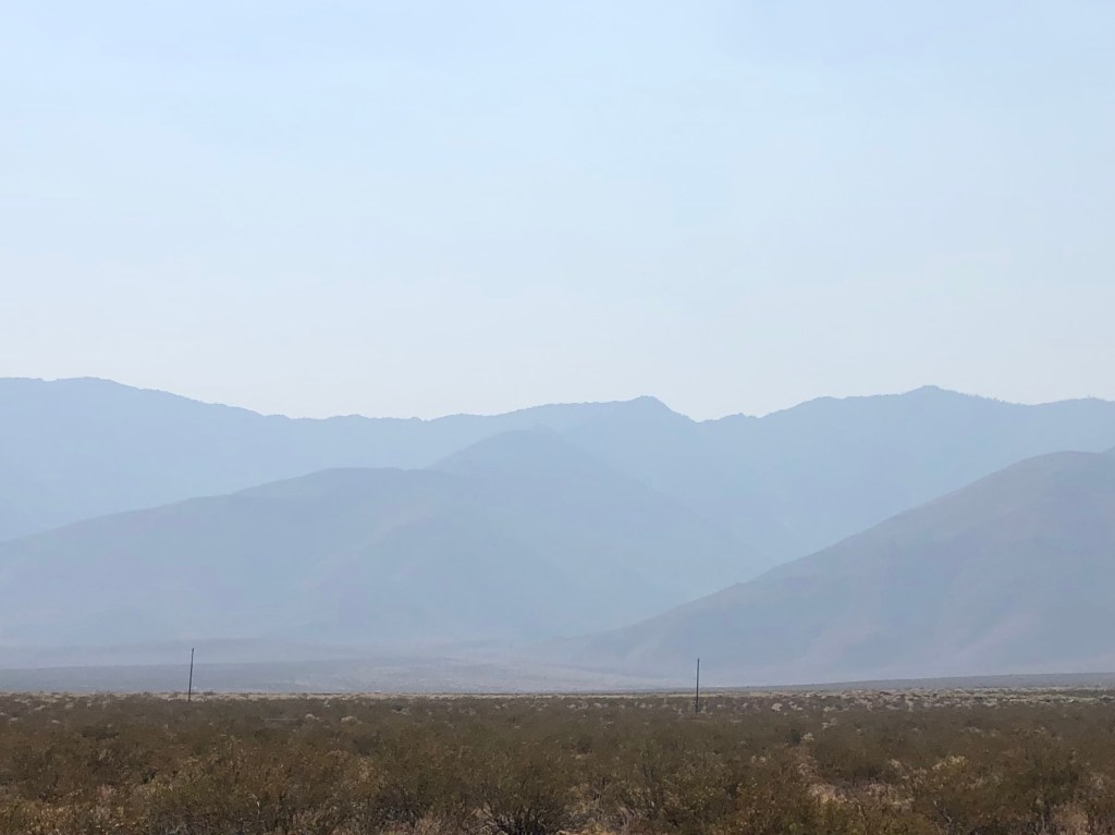
Looking to the west, 395 affords some great views of the Sierras. But today air quality was affected by the wildfires burning all over the state. The mountains were barely visible!
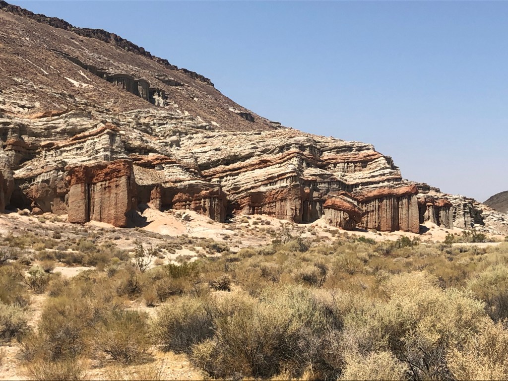
But not all of the view from 395 is depressing. Red Rock Canyon State Park is a wonder to behold.
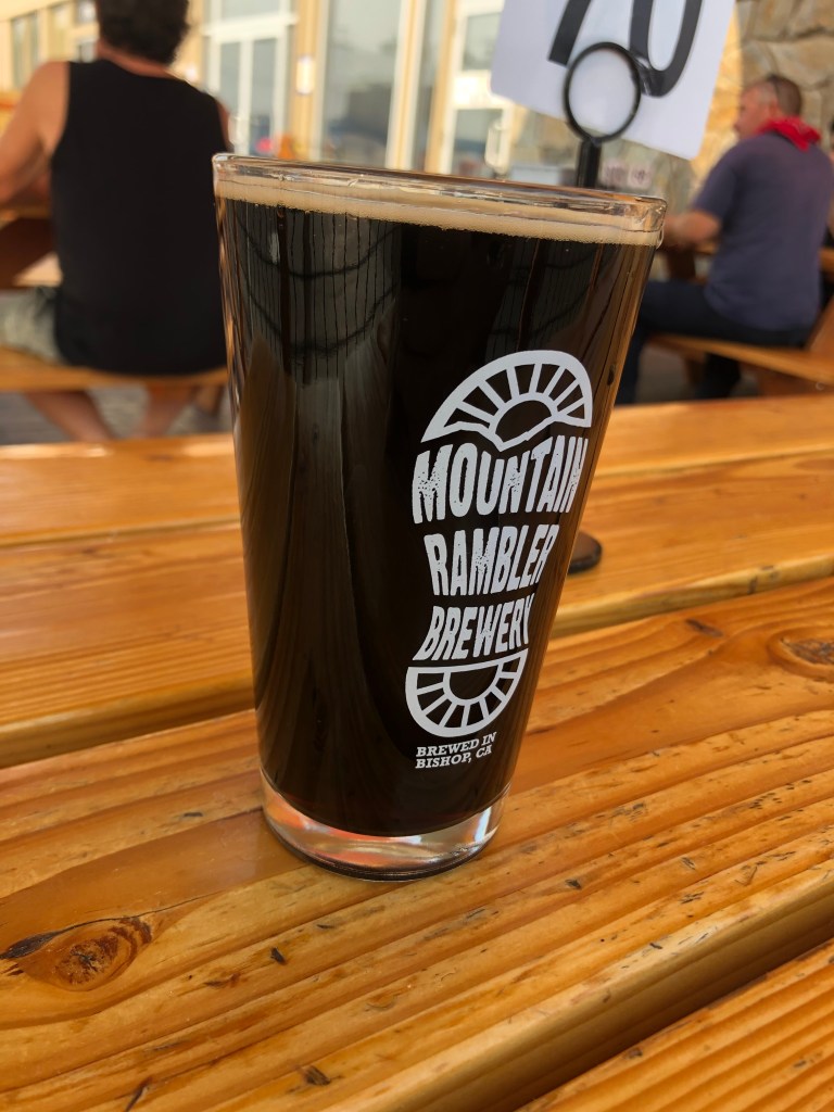
And finally, when I stopped in Bishop, I beheld another beautiful sight: An open brew pub. I stopped at Mountain Rambler Brewery, and treated myself to their Scotch Ale.
Brew of the Day!
For a beer this dark in appearance, it’s not especially meaty. It has a nutty flavor, somewhat akin to a brown ale. It’s not as sweet as I like my Scotch ales to be, but it was pleasant enough. Consistent with the classic style, it’s not at all hoppy. And with an ABV of 5.7 it’s not going to kick anyone’s ass. Come to think of it, this beer isn’t all that satisfying. But I was relaxing at a table in a shaded patio, and had a big old burger for dinner. And I had a nice conversation with another patron who drove up here from San Diego to go hiking. So, all in all, it was worth stopping here.
My San Diego friend.
Tomorrow I plan to finish the El Camino Sierra. I’ll then cut across to the Gold Country and start my way southward along the western Sierra.
It was the best of times, it was the worst of times, it was the age of wisdom, it was the age of foolishness…
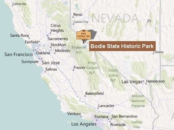
Last weekend, my brother (Dave) and I visited the ghost town of Bodie. It’s situated on the eastern slope of the Sierras, a little northeast of Yosemite. You have to turn off US 395 onto a narrow road for about 10 miles, and the last few miles of this road are gravel. You would never find yourself in Bodie unless you really, really wanted to be there.
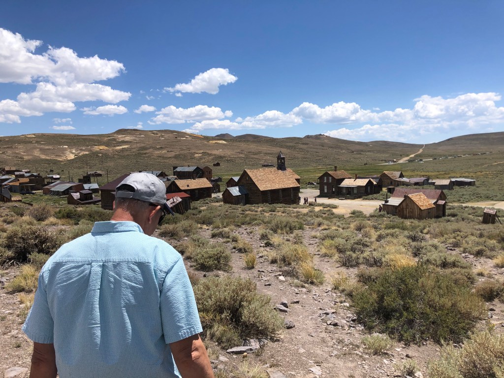
Bodie (population: zero) began as a gold rush town in 1876. Many, many boom towns sprang up during California’s gold rush, but the remarkable thing about Bodie is that it’s been preserved much the way it was left by its departing residents in the early 20th century. The California Department of Parks and Recreation effects only minimal repairs to keep the 100-plus extant structures from declining further. Most of the buildings still contain the furnishings, personal effects, and even canned goods that were left behind by the last residents. At its peak, Bodie was a thriving town of almost 10,000 souls. Walking Bodie’s dusty streets, even on a hot July afternoon, has a touch of the spooky about it, as you come face to face with the remnants of so many lives eked out in the eastern Sierra.
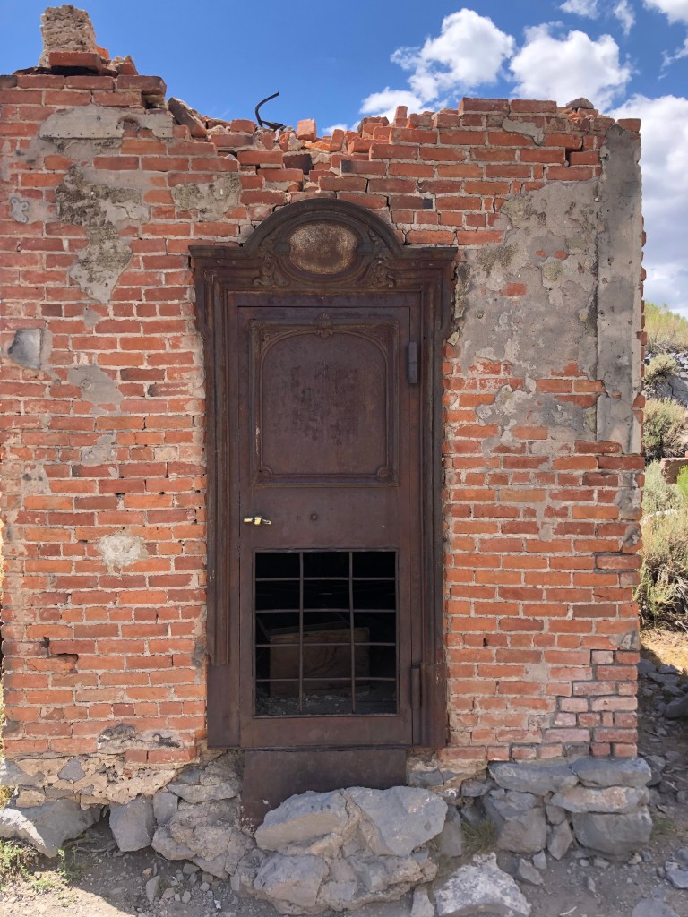
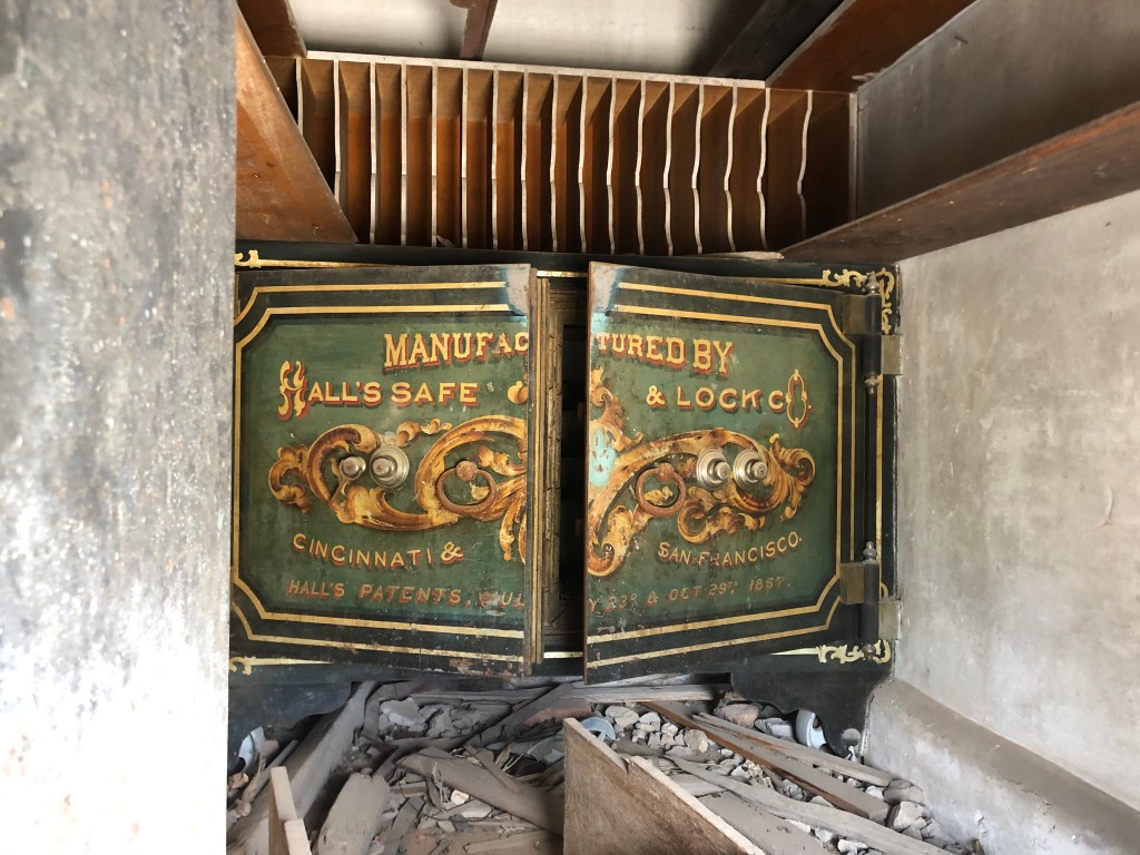
Brother Dave, walking with the ghosts of BodieBodie Bank, still locked up tight.View inside the bank.
Before last week’s trip, I had last visited Bodie 40 years ago with my friend Detlef. The town hadn’t changed a bit during those decades. The same, of course, can’t be said for me…
Bodie is a well-preserved, publicly-owned and maintained, well-visited ghost town. If you’re interested, you can learn a lot about it, and see plenty of photos, on the California State Parks website and in various books.
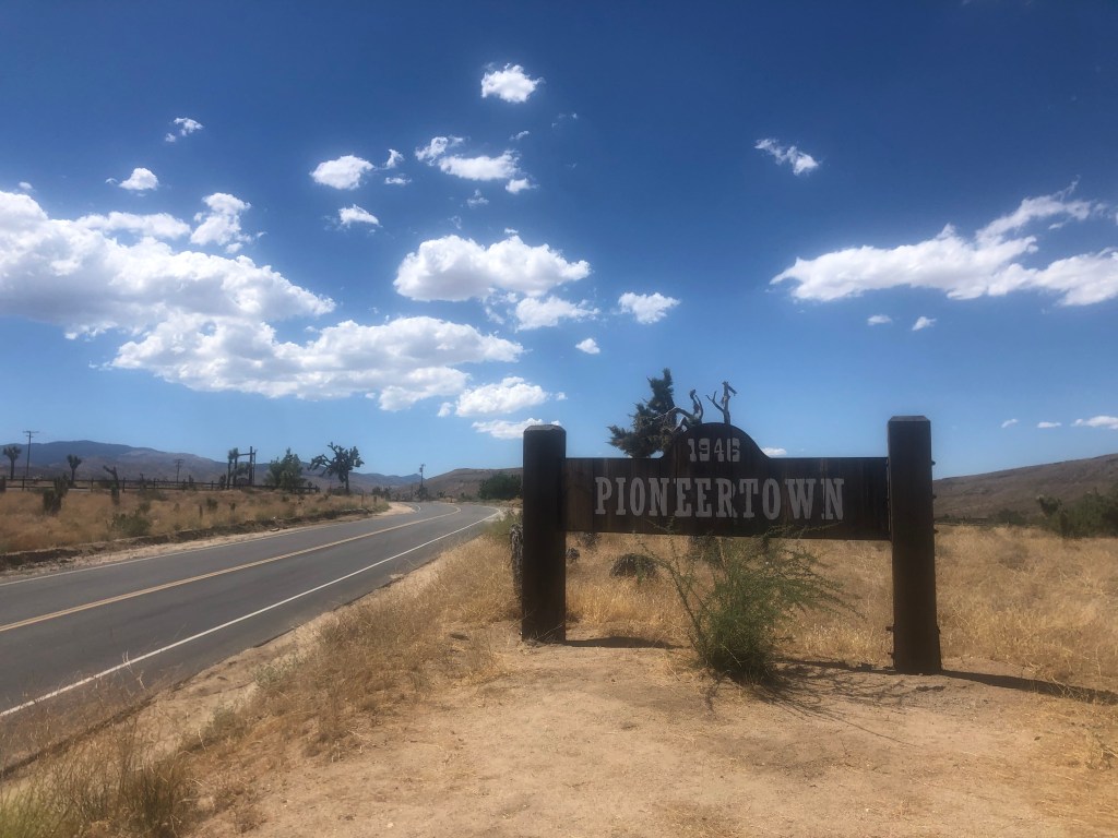
Today, almost a week after my Bodie trip, I visited a ghost town of a very different type. Pioneertown sits out in the high desert of San Bernardino County, not far from Joshua Tree National Park. It was 100 degrees in the shade.
If Pioneertown had a baseball team, they would use the script from this map.
Pioneertown (population: 420, so technically it’s not a ghost town) was the brainchild of western movie actor Dick Curtis. He founded the town in 1946 as a real, inhabited town constructed to look like an Old West movie set. (This is of course the reverse of what normally is done.) The town was used for filming westerns throughout the 1940s and 1950s. You probably haven’t seen many of the movies it “starred” in (the Cisco Kid movies of the late 1940s, Gene Autry movies of the early 1950s, Jeopardy with Barbara Stanwyk, “The Adventures of Judge Roy Bean” television series…). But for awhile there, Pioneertown was overrun with production crews. Today it’s almost entirely ignored by film crews. (One exception that proves the rule is a 2019 music video by Kidz Bop Kids. I haven’t heard of them either.)
Entering Pioneertown from the east, along the Pioneertown Scenic Route.
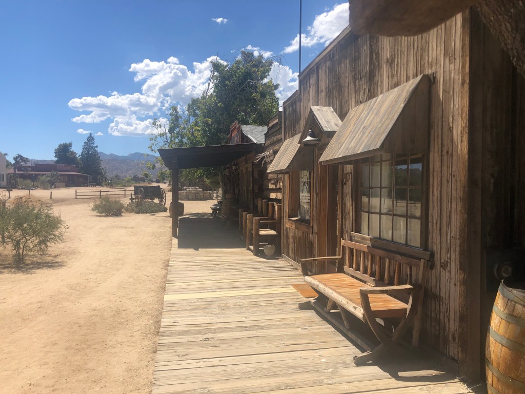
The main street (or, as the horse-themed signage indicates, “Mane Street”) contains most of Pioneertown’s Old West structures. It’s closed off to traffic and has a forlorn feel to it, accentuated by the Covid-inspired paucity of tourists.
Shades of Antigonish.
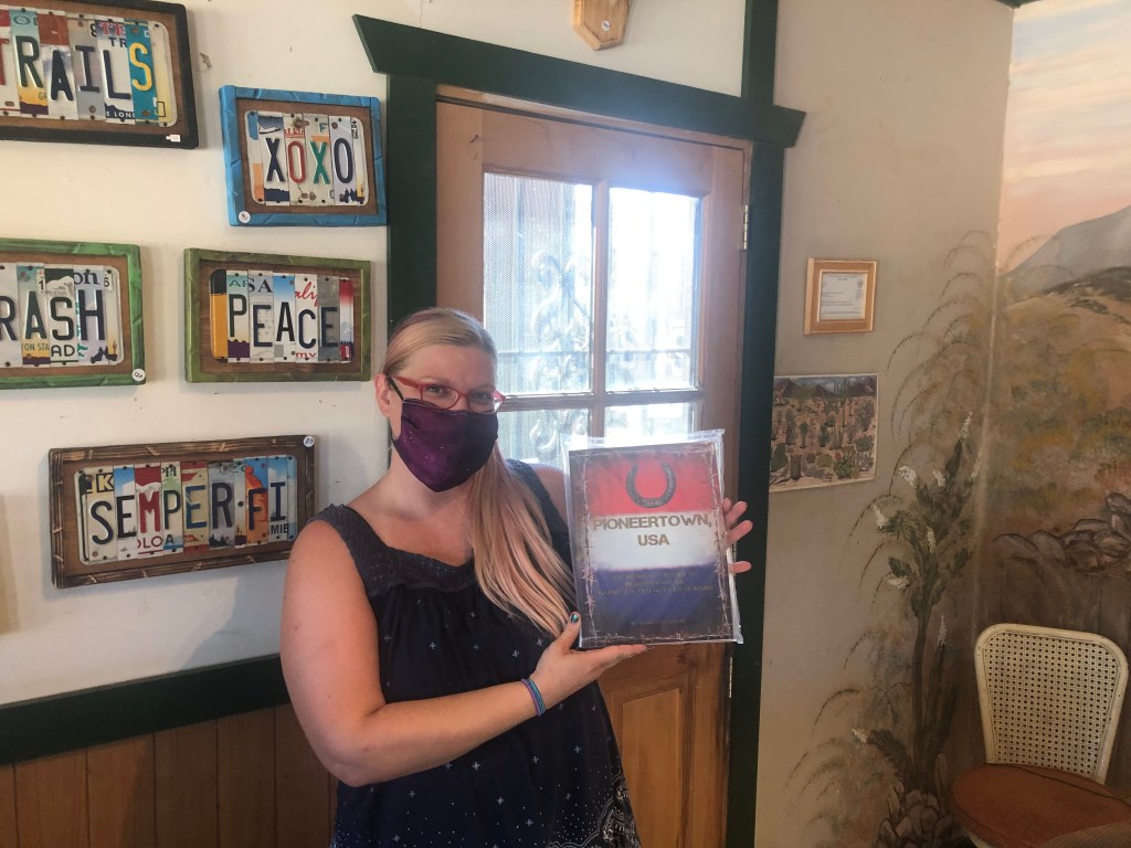
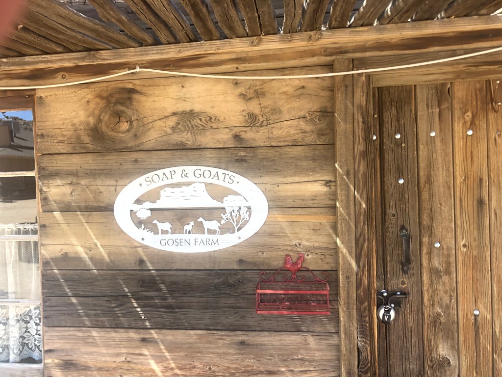
I wanted to visit the Pioneertown Film Museum, to learn more about the film history (otherwise known as the entire history) of this town. Alas, the building, like most on Mane Street, was closed. The door to the “General Mercantile” store, however, was open, so I entered to see what I could see. And what I could see was a wine fridge with 58-degree Cokes for sale at a dollar each, bags of chips, and mass-produced faux-old-timey art pieces. The proprietor, Katrina, greeted me with genuine enthusiasm, and when I asked her about the film museum her face clouded over. “The owners have some health challenges,” she said with some obvious concern, “and they figured they shouldn’t risk working there during the ‘Corona scare’.” I asked Katrina if she could fill me in on the history of the town. “Oh, I wish my brother were here! He’s the historian. He literally wrote the book on Pioneertown.” And she held up a copy of Kenneth Gentry’s Pioneertown USA to prove it.
Katrina with her brother’s book. She seems to have the political spectrum covered with the license plate art…
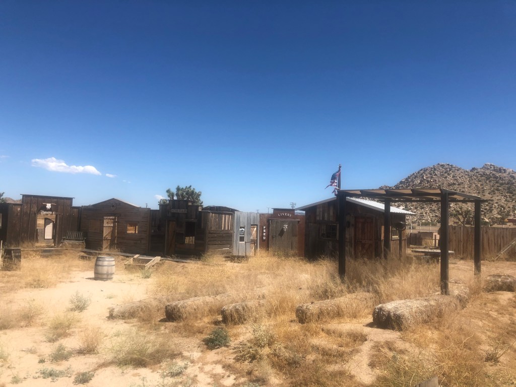
She gave me a thumbnail sketch of the town (which informed the introduction I shared with you), and insisted that “on weekends we have a lot more going on, like melodramas and shootouts.” (So far this was sounding no different than downtown Los Angeles…) She admitted that the crowds had dropped to about 10 percent of their former size as a result of the pandemic, and she hoped they’d bounce back soon. I thanked her, bought a lukewarm Coke, and resumed my walk along Mane Street.
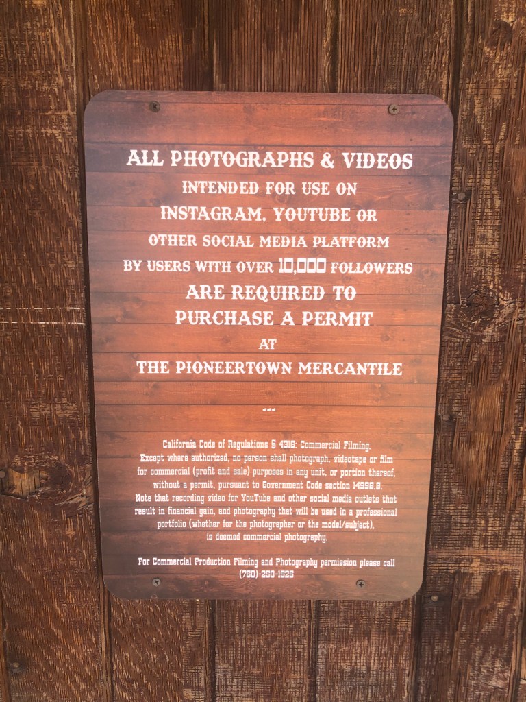
From the days before weed whackers…Now this is an interesting business idea.The last remaining horse in Pioneertown.Fortunately, I am about 9,950 followers short of needing a permit.
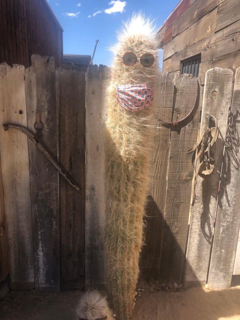
Just as I was inspecting a cactus wearing sunglasses and a Covid mask (it was the cactus, and not I, who was wearing them), Katrina came out into the dusty street and told me that someone had just opened the Film Museum for a private tour, and I was welcome to join them.
The cactus in question. And boy, do I question it.
The film museum was contained within a small, one-room structure, and primarily consisted of old movie posters. However, the proprietor did show us a short documentary (produced by Katrina’s brother!) that contained some old movie clips. After watching the movie, I asked the proprietor a few leading questions about Pioneertown, and I received pretty much the same basic outline that Katrina had already provided.
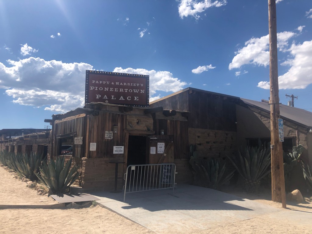
Feeling a bit peckish in the desert heat, I repaired to Pioneertown’s cantina. (Katrina had recommended it as the most popular establishment in Pioneertown.) The cantina has appeared in various films since 1946, and today has a full-service kitchen serving some of the best barbecue in, well, this deserted region of San Bernardino. It also claims to be the “eighth largest music venue in the world.” When I asked by what metric that claim is measured, the waitress just looked at me and said “I don’t know what you mean.” Still, it does appear that Pappy and Harriett’s (the venue’s current name) has had a number of biggish acts, including Paul McCartney and Robert Plant.
I think the term “Palace” might be a stretch here.
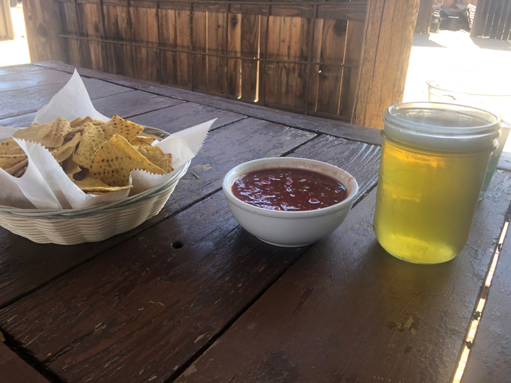
I sat out on the patio and had an order of chips and salsa which I washed down with an Elysian Hazy IPA. I wouldn’t say the food and drink were worth a 300-mile round trip, but they were tasty enough.
No, that’s not a large specimen on the right…
Refueled and rested, I threw a leg over the Triumph and headed back to civilization. My only regret about the trip — and I mean this seriously — is that I didn’t purchase the book by Katrina’s brother. She seemed so earnest about the town, it’s the least I could have done. I may be making a return trip in the fall…