Breweries · bridges · Cars · Gas stations · movie theaters · Road trips · Yard art

The final stretch

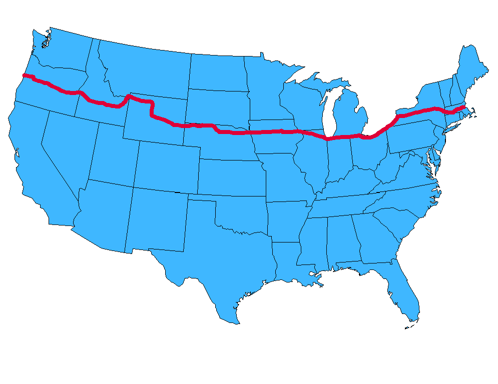
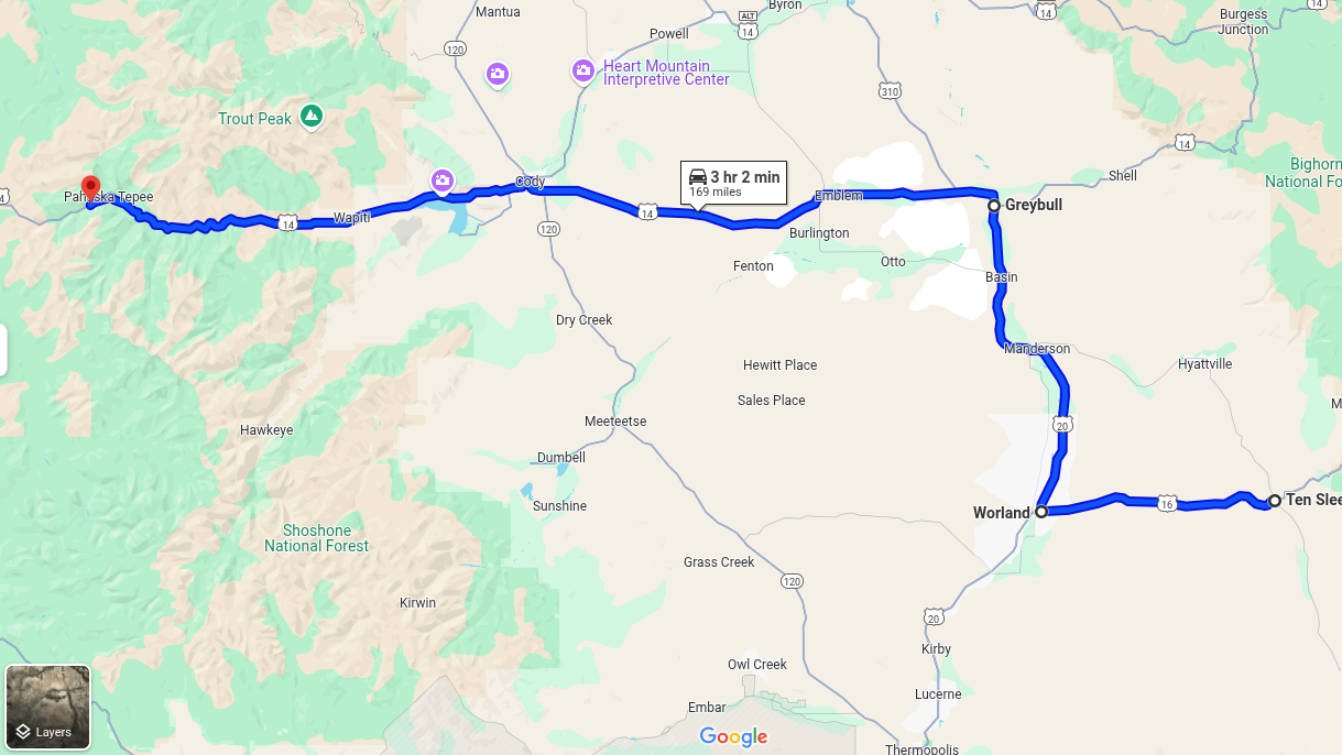
Today I drove the final stretch of Route 20’s original route, which terminates at the eastern entrance to Yellowstone. I left the lads in TenSleep this morning, and rejoined US 20 at Worland, Wyo. From there I headed north to Greybull, and then east to Yellowstone. The whole drive was about 170 miles…and then another 170 miles to get back to TenSleep!

Westward Ho.

It was a great day for a drive. The weather was perfect, and there was no traffic. It was just me and the open skies. This part of the country, with its solitude and natural beauty, is growing on me.

Idyllic drive.

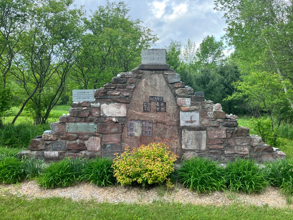
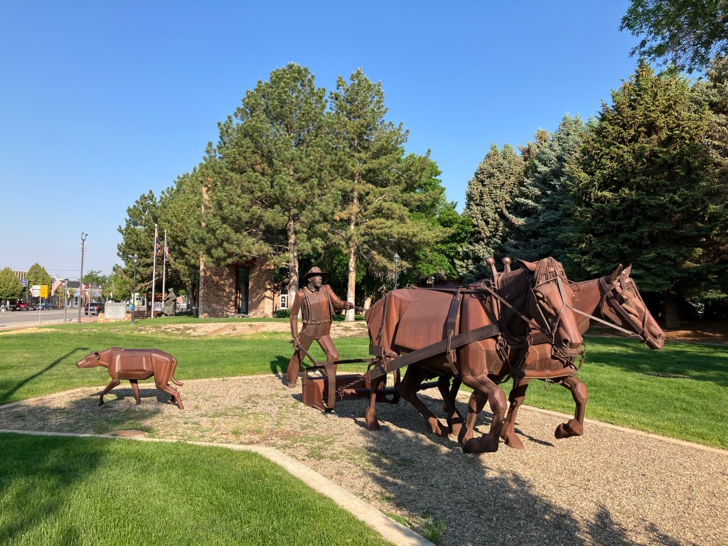
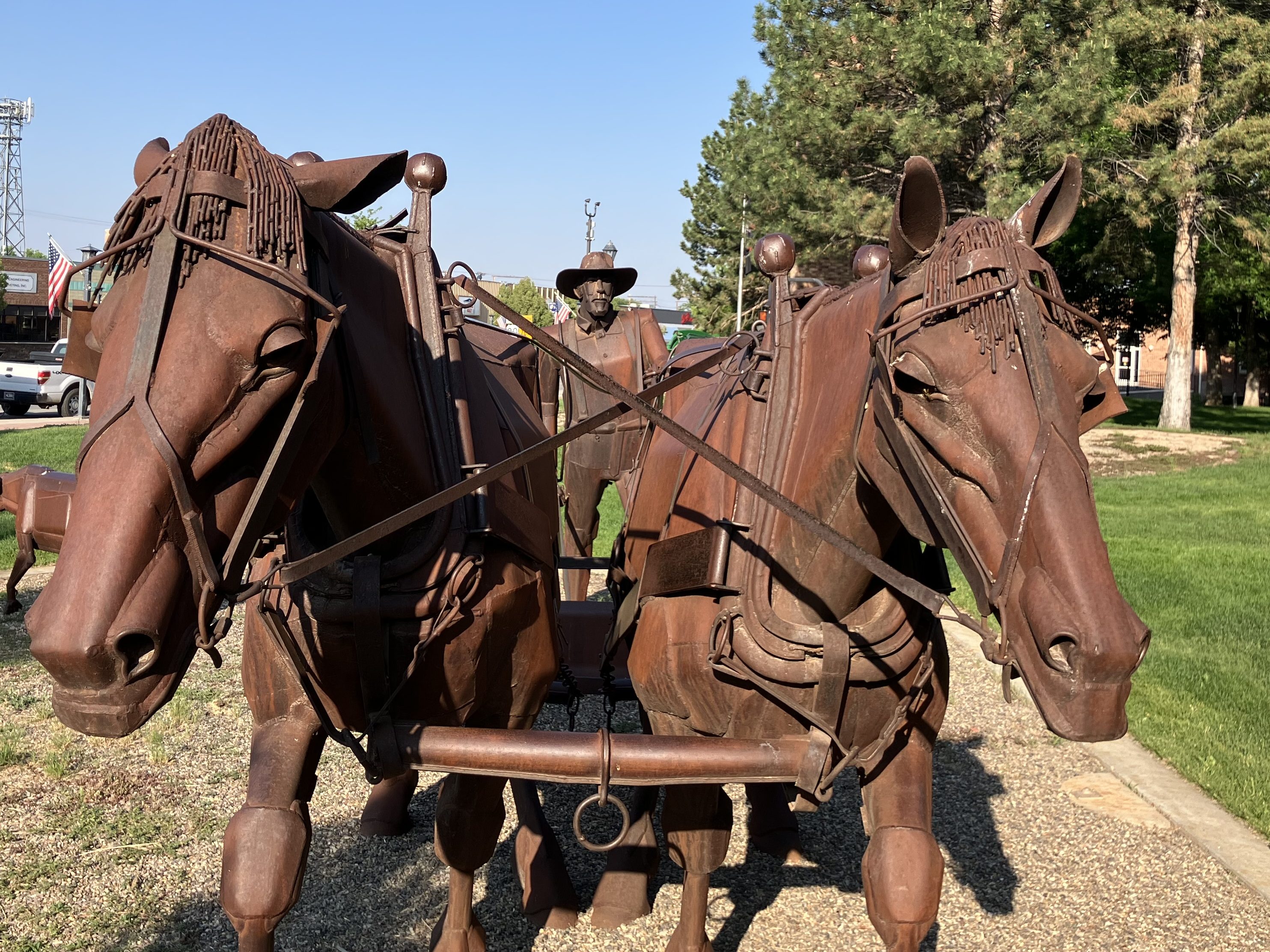
I picked up where I’d left off a couple of days ago at Worland (pop: 4,800). Worland is a tidy and practical town, where the good folks of TenSleep and other surrounding communities go when they need a supermarket or various specialty stores. It’s also a reasonably attractive community, with a number of western art installations like this one that commemorates the pioneers.

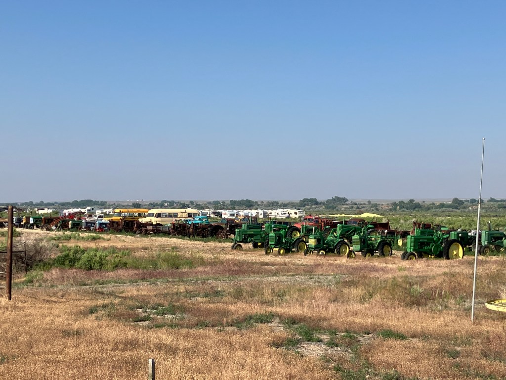
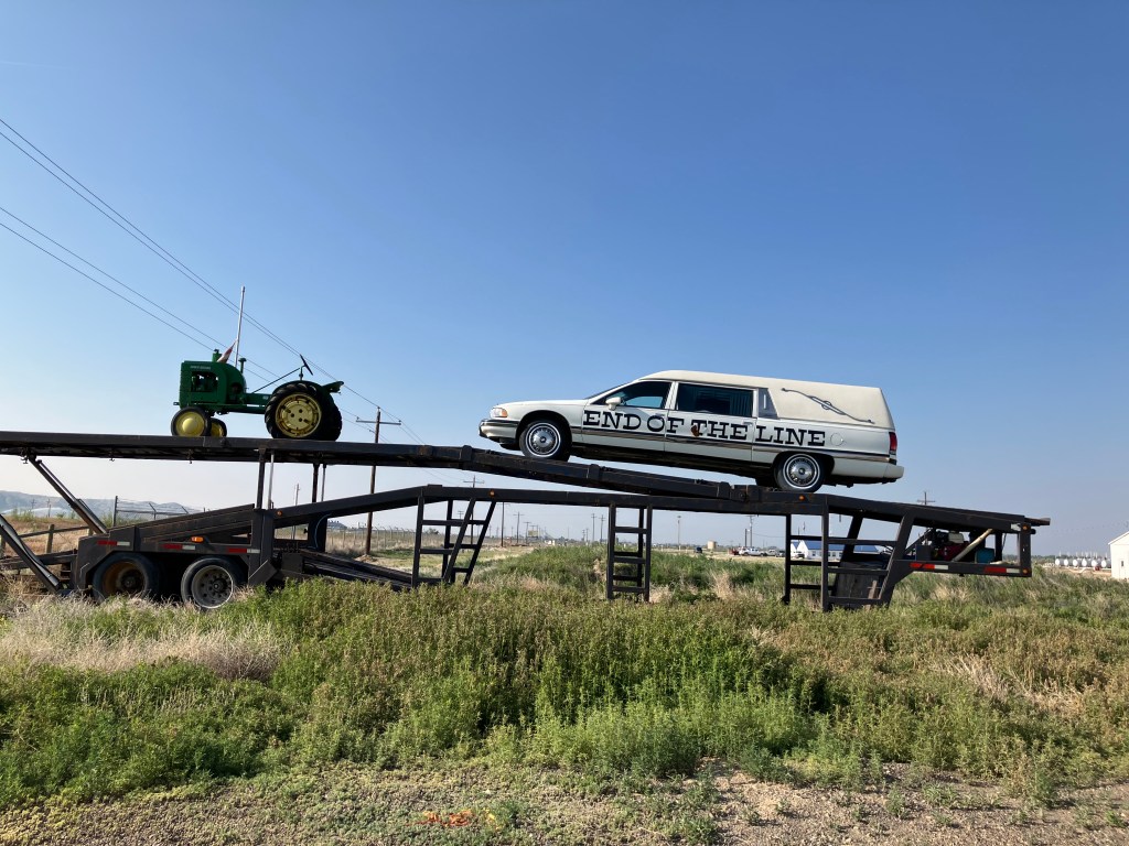
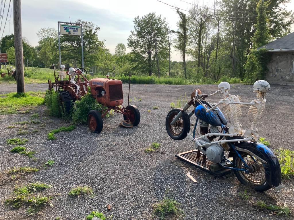
It felt good to be back on US 20 West, with the familiar white signs and the commodious US-standard lanes. Early in today’s trip I came to Manderson, Wyoming (pop: 3,900), where a veritable graveyard of old farm equipment and buses stretches along the side of the road. It’s evidently a vehicle recycling and/or consignment operation, where tractors go to die. The hearse at the edge of the property seems to drive home the point.

Just a small portion of their collection.

Once I was heading east out of Greybull, the endless prairie began to give way to the peaks and crags of the Bighorn and Owl Creek mountain ranges, and fast-flowing Shoshone River gorge. The passing scenes reminded me of the settings for a John Ford movie.

A speed goat keeps watch over US 20.

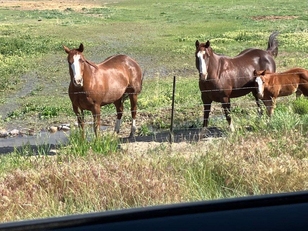
Even though most of US 20 is designated the Medal of Honor Highway, a segment east of Cody was designated the Wild Horse Highway just a few years ago. This segment borders BLM lands where a herd of about 100 wild mustangs still roam the McCullough Peaks range.

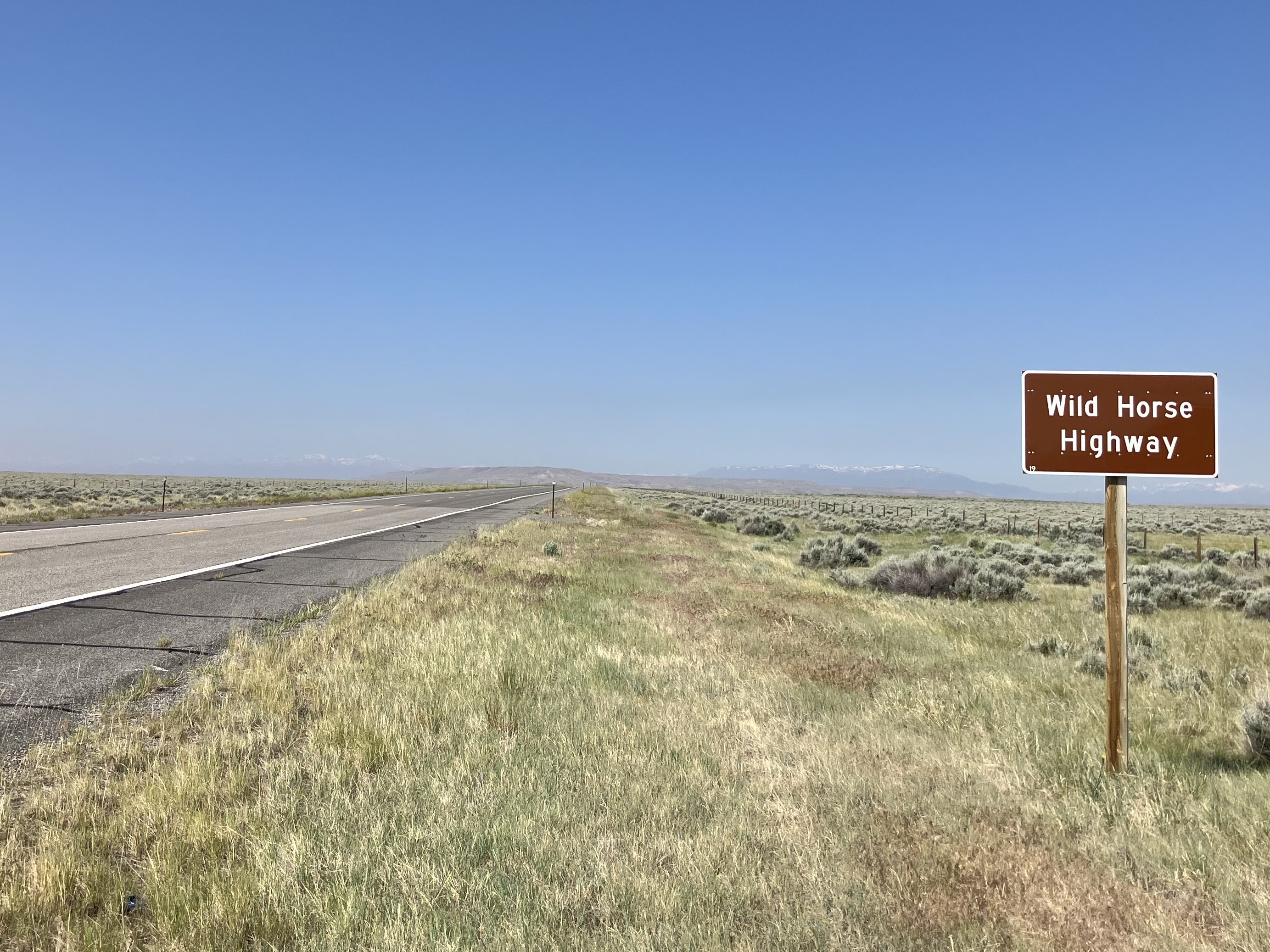
Horses are of course an iconic element of the West. They were brought to the Americas by Spanish missionaries and explorers several hundred years ago. Evidently a number of those horses escaped during the pueblo revolts, and descendants of those horses still roam the plains. In 1971 the US Congress passed the Wild Free-Roaming Horses and Burros Act, which provides for the protection of those horses.

Where the wild horses roam.
Horses along the Wild Horse Highway.

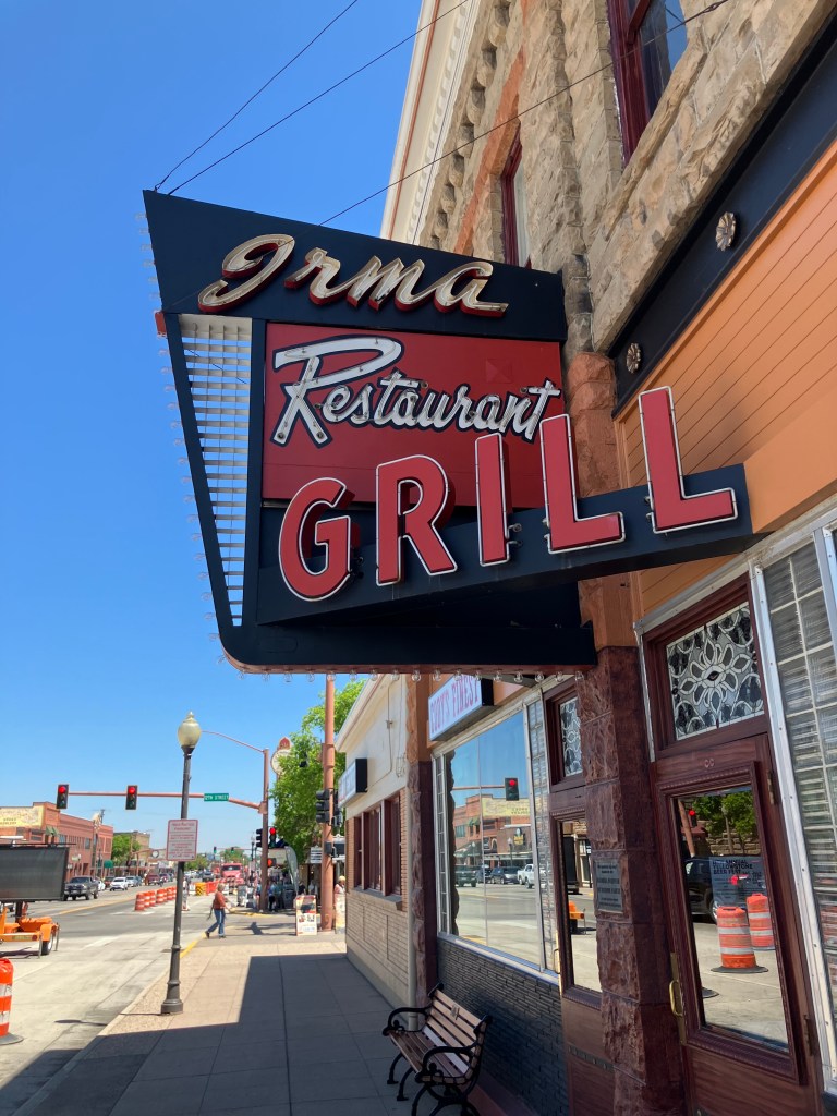
After the Wild Horse Highway I came to the “big city” of today’s trip. Cody, Wyo (pop: 10,250) is one of those larger-than-life towns that inevitably become tourist trips. “Buffalo” Bill Cody founded Cody City in 1895. It was intended as a resort community, near the Demaris mineral hot springs. It was also conveniently located near the eastern entrance to the recently-created Yellowstone National Park. However, just about a year after Buffalo Bill founded Cody City, someone named George Beck established a second city just to the west. It’s this second city that kind of swallowed up Cody City and grew up to be today’s Cody. Ever the entrepreneur, Buffalo Bill embraced the new city and opened a hotel (the Irma) in 1902 that still stands today.

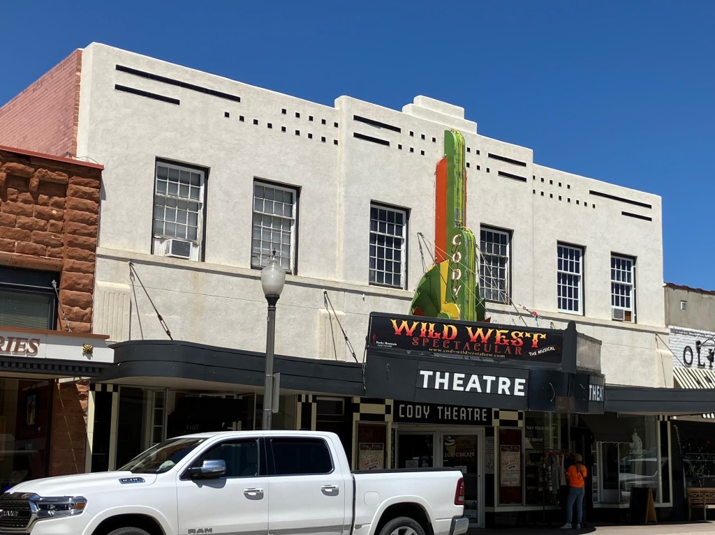
Today’s Cody is a tourist town that leans into its history and western lore. There’s a major museum complex called the Buffalo Bill Center of the West. There are numerous businesses that claim to have authentic links to Buffalo Bill. And the 1936 Cody Theater currently hosts a live musical called the “Wild West Spectacular.”

“Old Trail Town,” which purports to be a semi-authentic reconstruction of the original Cody City. It’s comprised of historic structures from across the region.
The Irma–built by Buffalo Bill and named after his daughter.
Active 1936 theater, showing live stage productions.

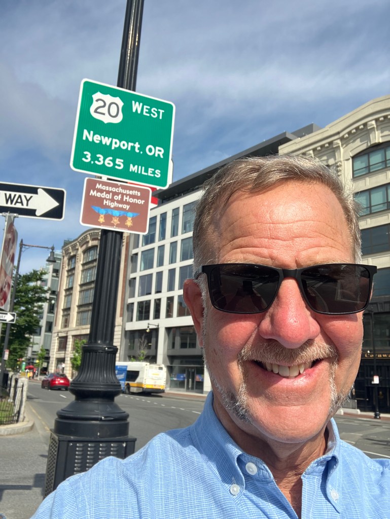
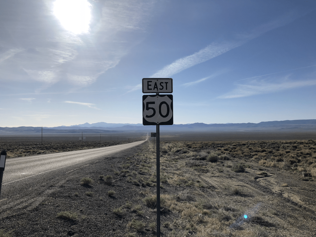
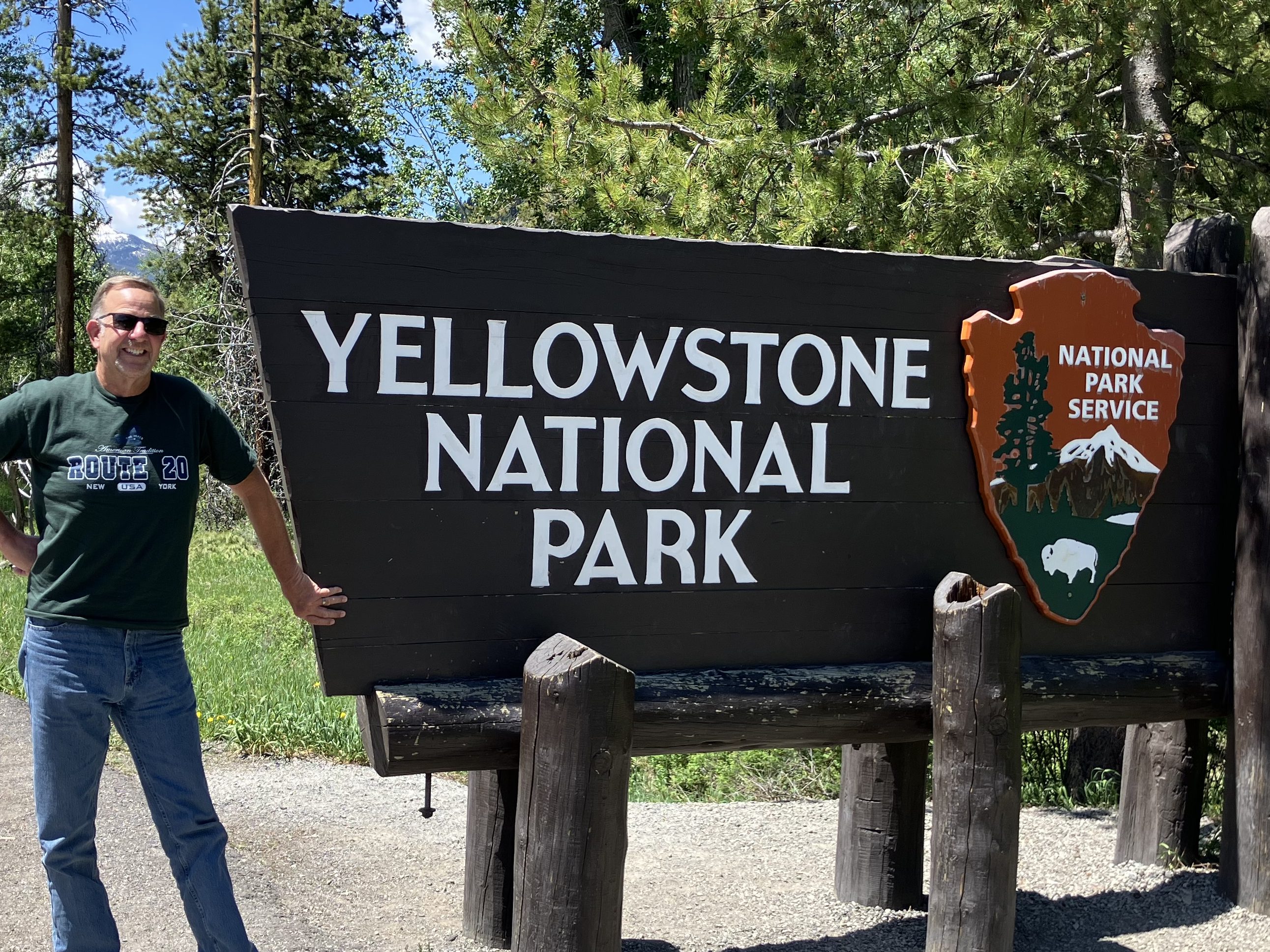
After getting my BOTD (more on this below), I left Cody and tackled the final segment of US 20. This stretch, which runs 27 miles from Cody westward to Yellowstone, is designated the Buffalo Bill Cody Scenic Byway.

This Bob’s Big Boy in a field on the side of the Buffalo Bill Scenic Byway is completely unexplained.

Finally, after about 2,500 miles and a dozen days of driving, I arrived at the end of (original) US 20!

My Route 20 shirt is courtesy of The Tepee near Cherry Valley, NY.

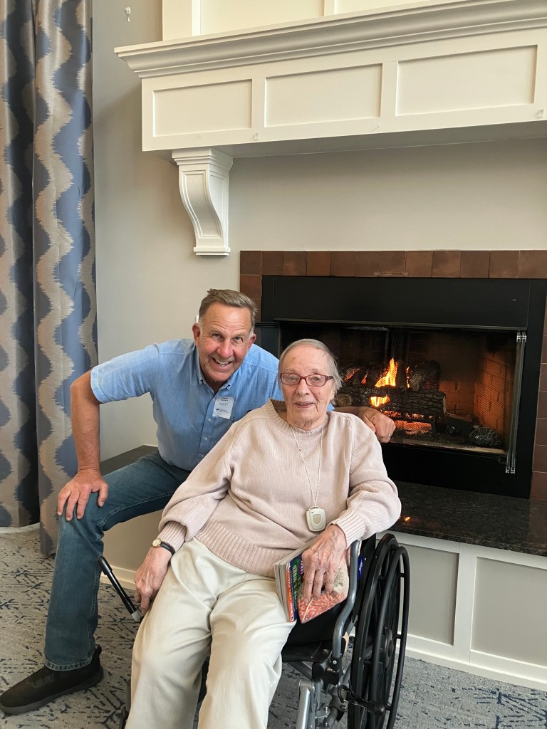
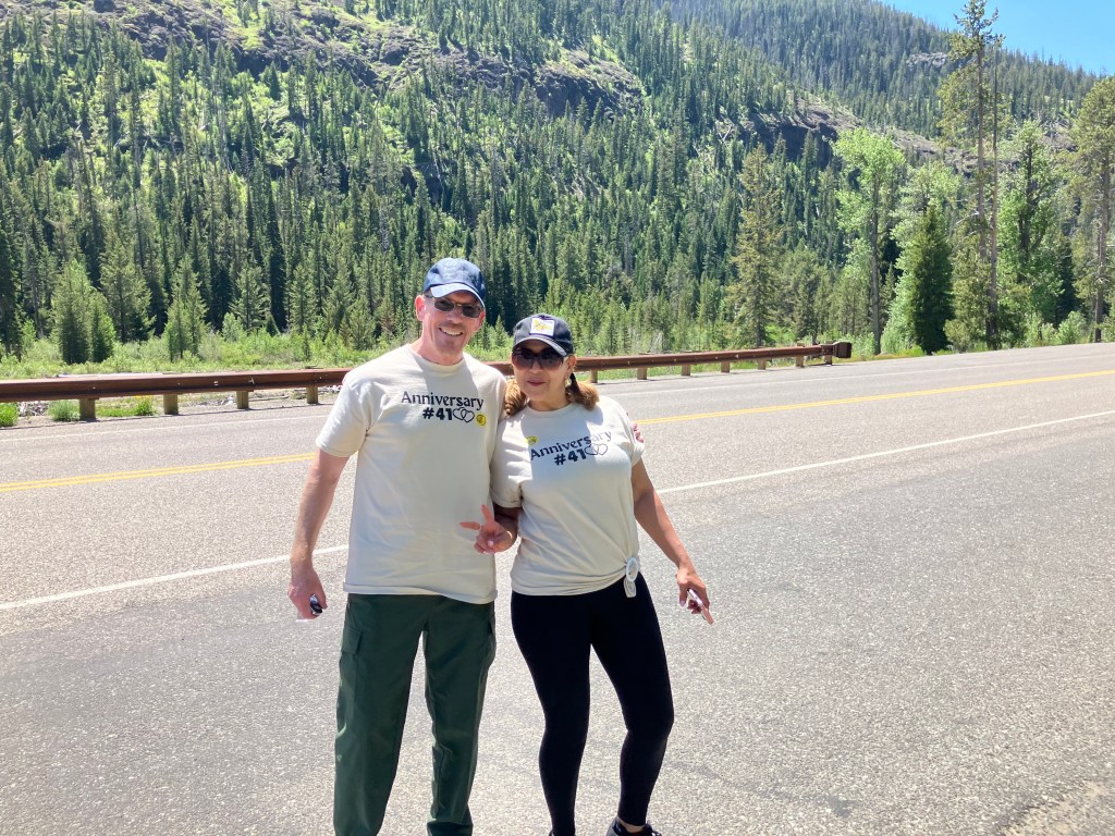
That Yellowstone photo comes courtesy of Harry and Xiomata, who were celebrating their 41st anniversary.

Happy Anniversary!

With the road trip complete, there are just a few items left to round out this blog post. Here we go:
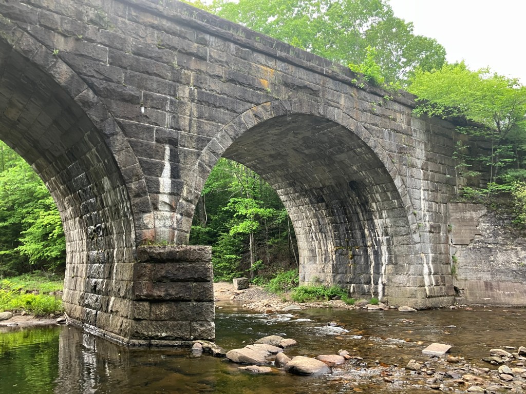
BRIDGE CORNER

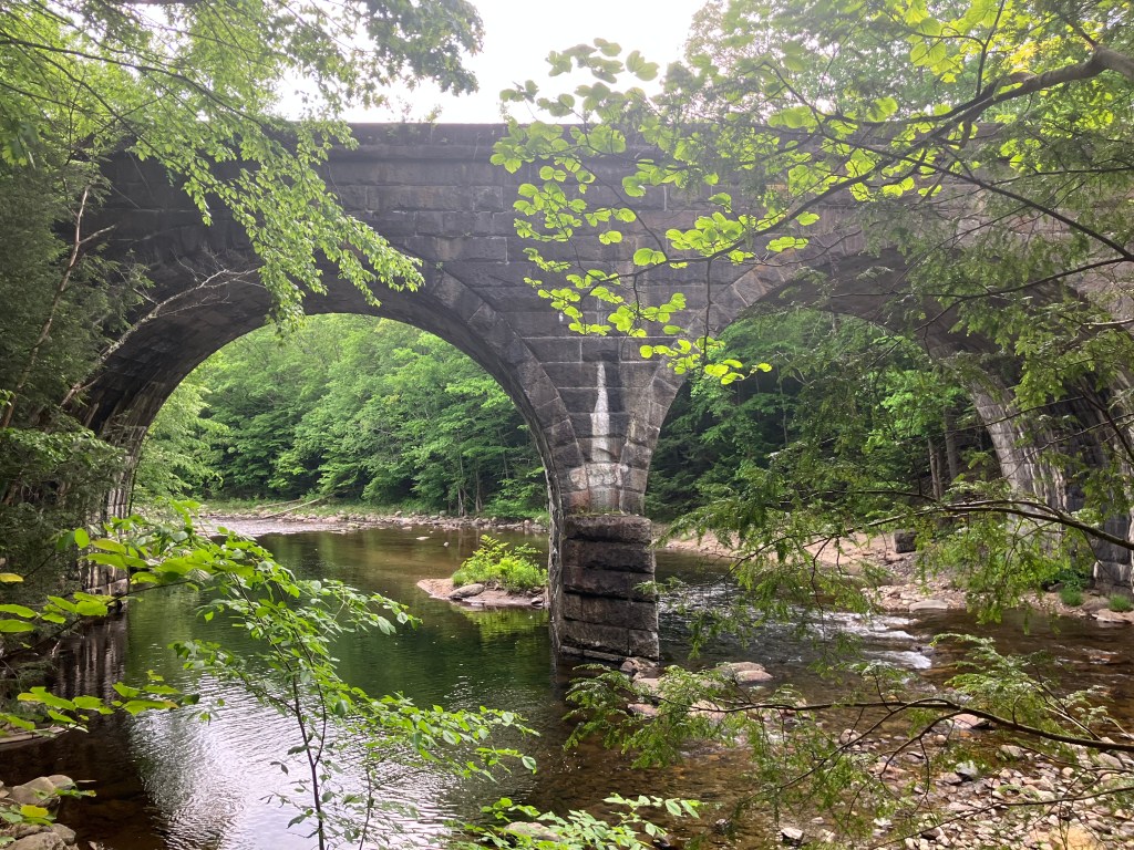
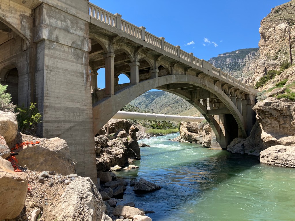
Today I passed what I consider to be a picturesque, historic bridge that deserves mention. The century-old Hayden Arch Bridge crosses Shoshoni creek near just west of Cody. It’s billed as “Wyoming’s only medium span concrete arch vehicular bridge.” Alas, I arrived just a few days too early for a big celebration. According to a recently-posted notice, “The Cody Country Chamber of Commerce invites the public to a special centennial celebration marking 100 years of Hayden’s Arch, one of Wyoming’s most iconic bridges. The commemorative ceremony will take place Saturday, June 21, 2025, at 4:00 PM, at the historic Hayden Arch Bridge.” It’s not to late to plan your trip!
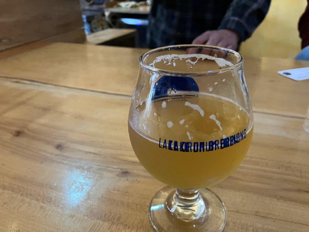
Wyoming’s iconic Hayden Arch Bridge turns 100!

BEER OF THE DAY

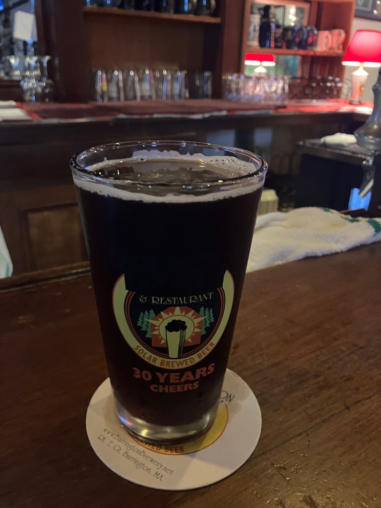
I wanted to do something special for the last BOTD for this trip, so I bellied up to the bar at the Hotel Irma, which Buffalo Bill himself had built in 1902. It’s named after his youngest daughter.

Sadly, I wasn’t able to secure a seat at the bar–there was considerable disagreement among the barflies as to whether “Jack” was going to return to the seat he had earlier vacated. And the wait staff and bartenders–all of whom seemed to have been holdovers from the days of Buffalo Bill–seemed irreparably confused. I left.

Instead I chose the considerably less historic Millstone Pizza Company and Brewery that sits just across the street from the Irma. On advice of Doogie Howser’s doppelganger who was working behind the bar, I had the Pineapple and Jalapeno Ale.

Doogie’s Fave.

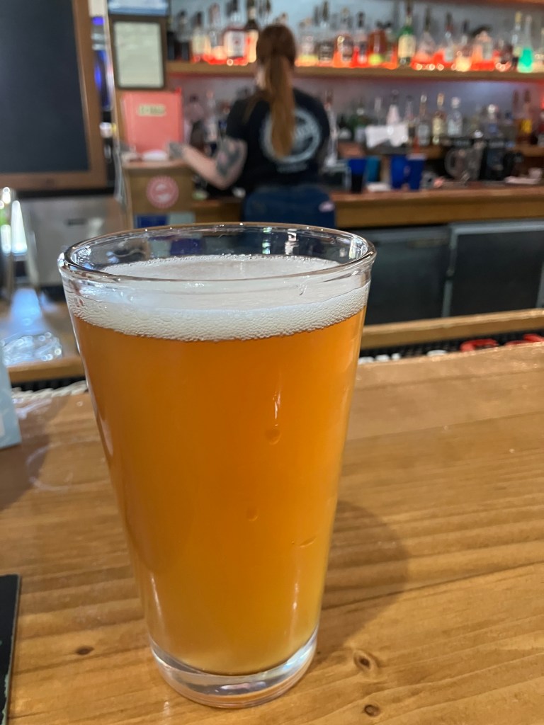
Now, this was a reasonably well-made beer, with smooth body, good hoppiness, nice color, and a delicate foam head. The only thing this beer didn’t have was the taste of pineapple or jalapeno. Which would seem to be a problem for a beer billed as a pineapple/jalapeno beer. There was no sweetness and no heat whatsoever. When I brought this to Doogie’s attention, he kind of shrugged and said, “yeah, I’ve complained to the brewmaster about that myself.” (And yet he’d recommended it to me?!) He also hinted that the brewmaster used green peppers rather than jalapenos. Zero stars for false advertising. It’s a disappointing end to a good string of BOTDs.

DELETED SCENES

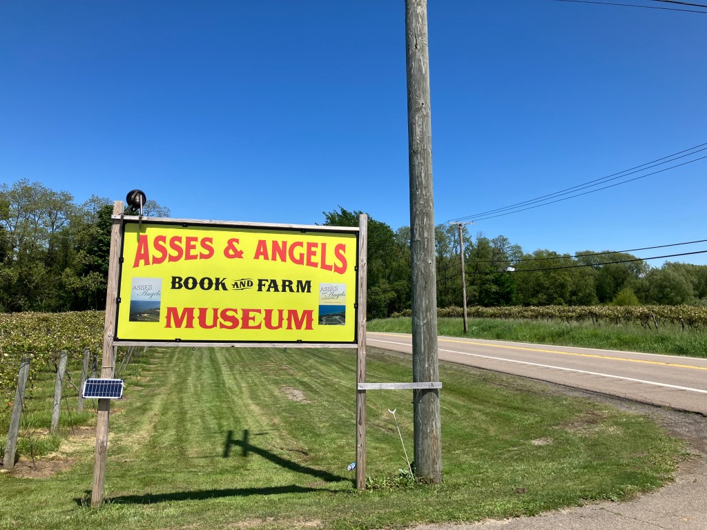
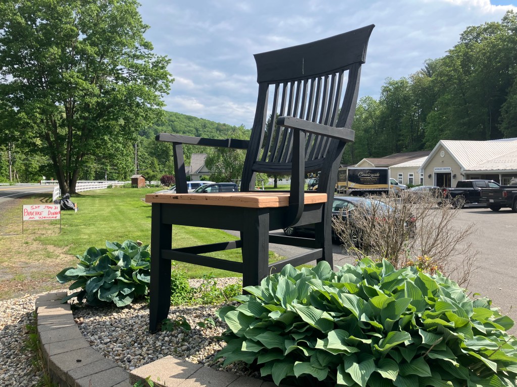
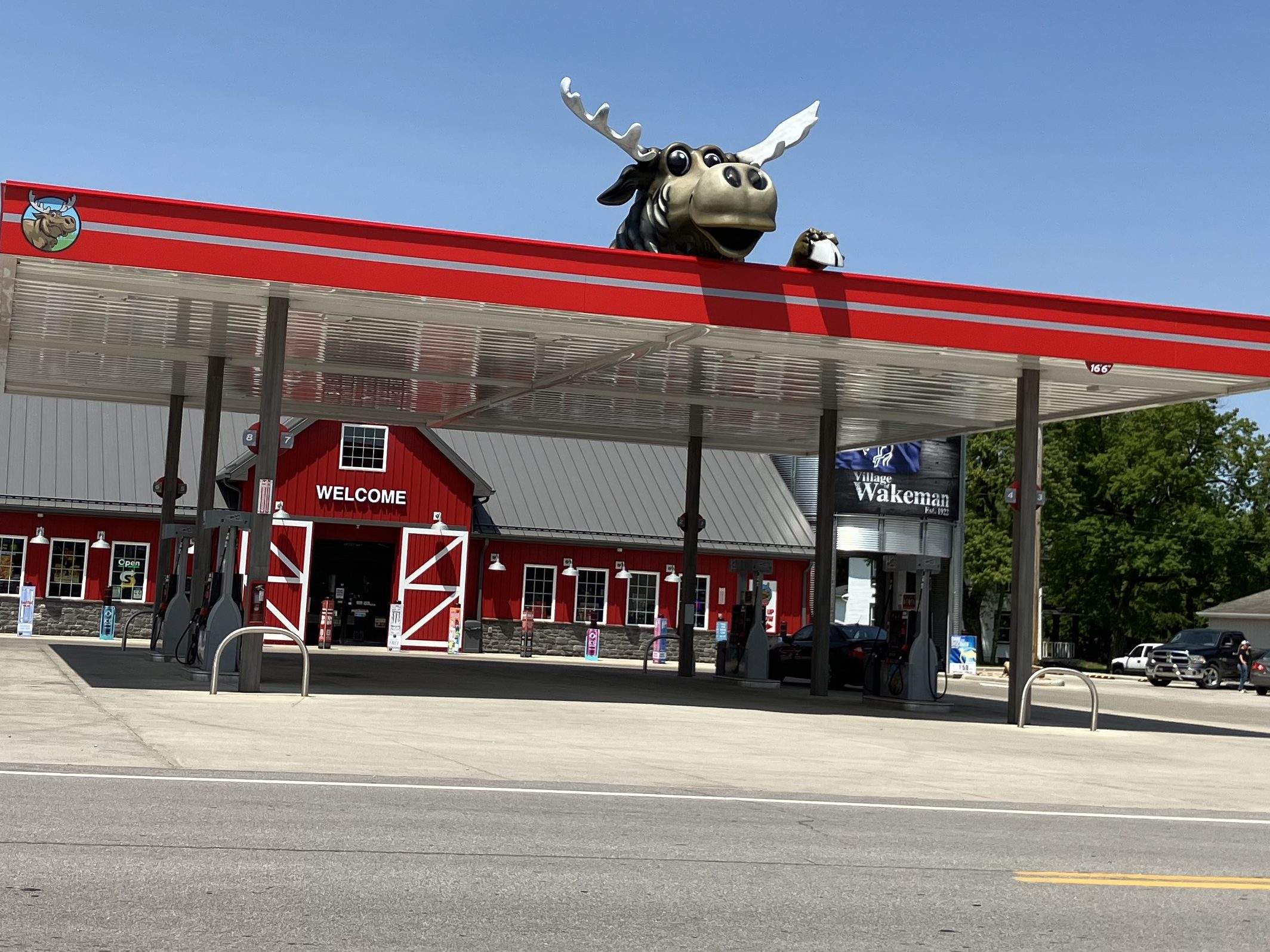
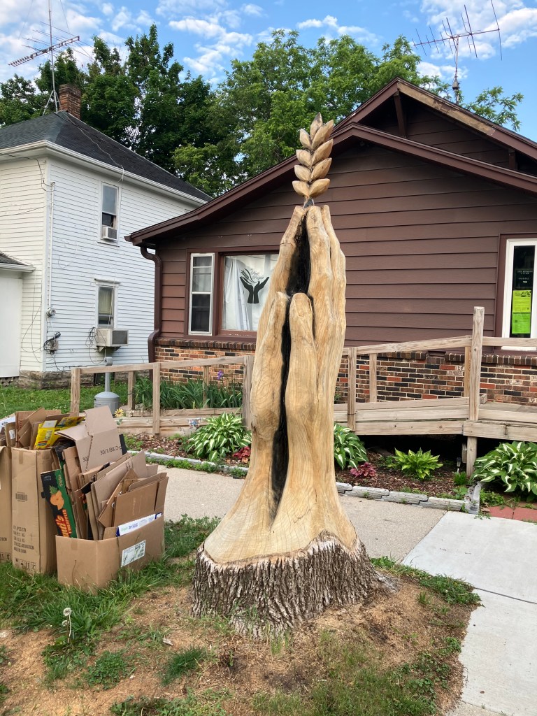
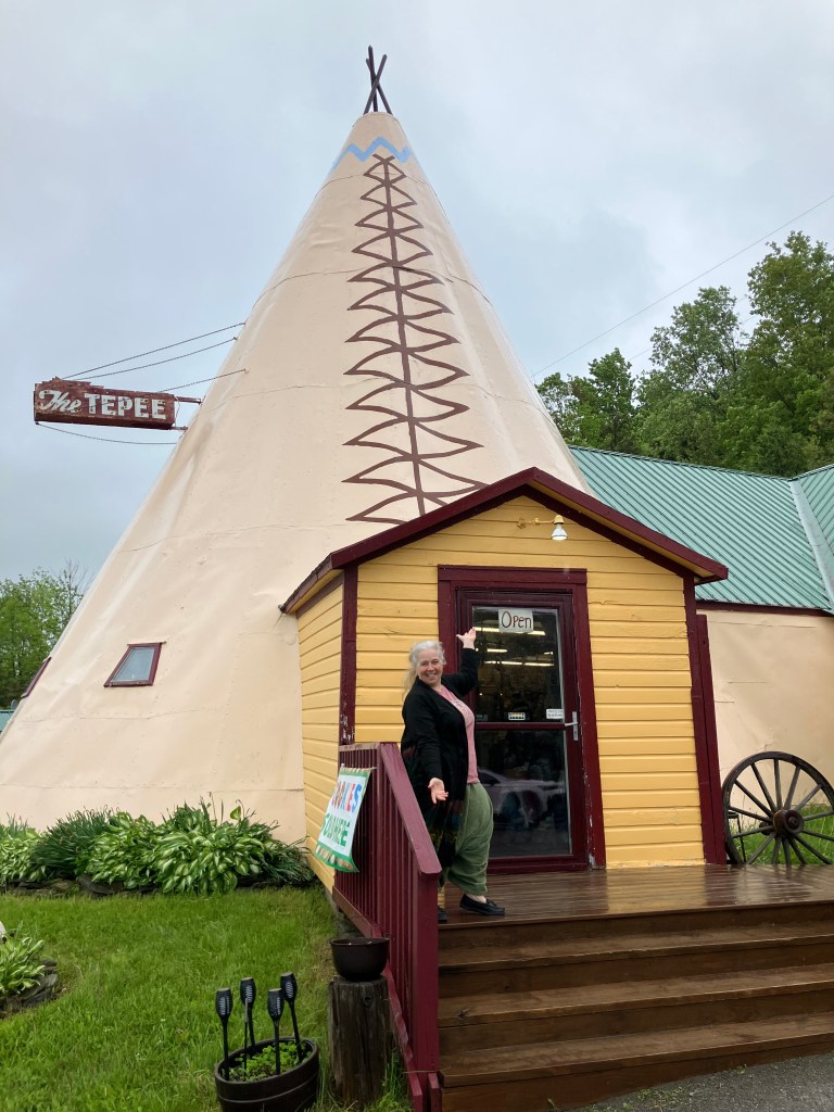
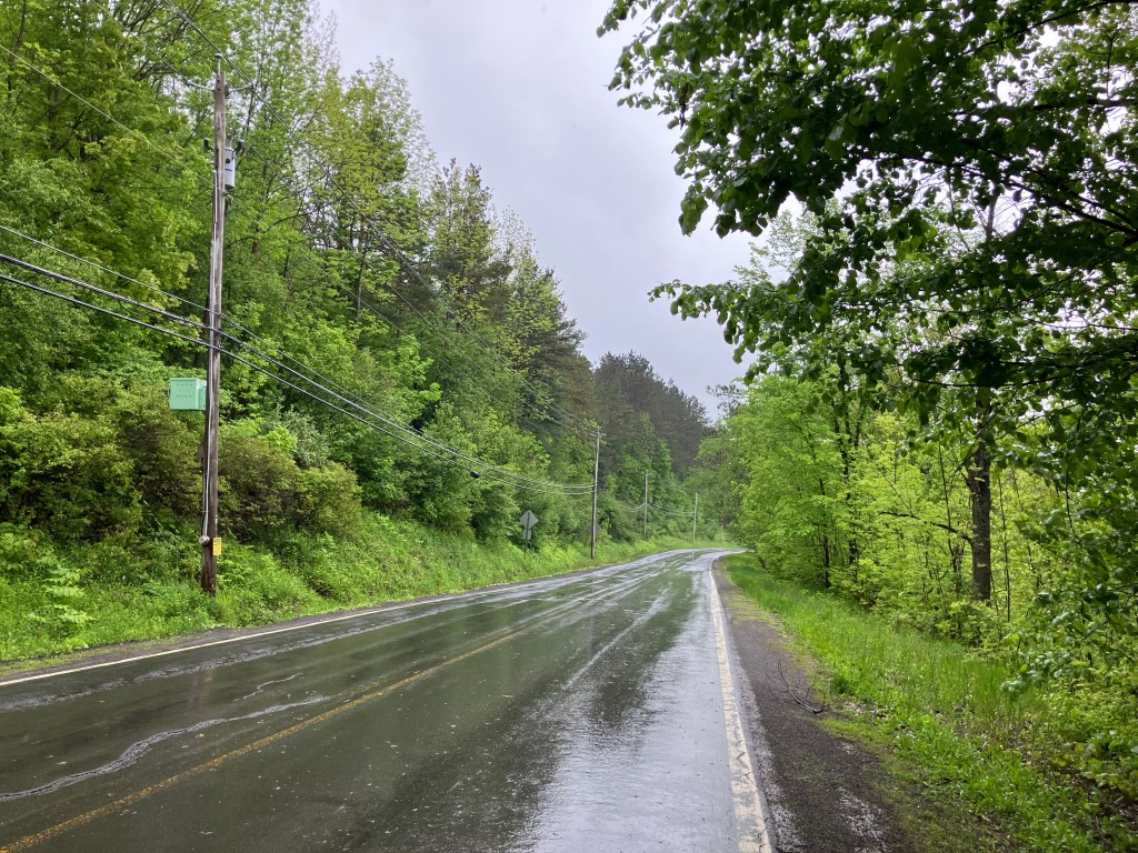
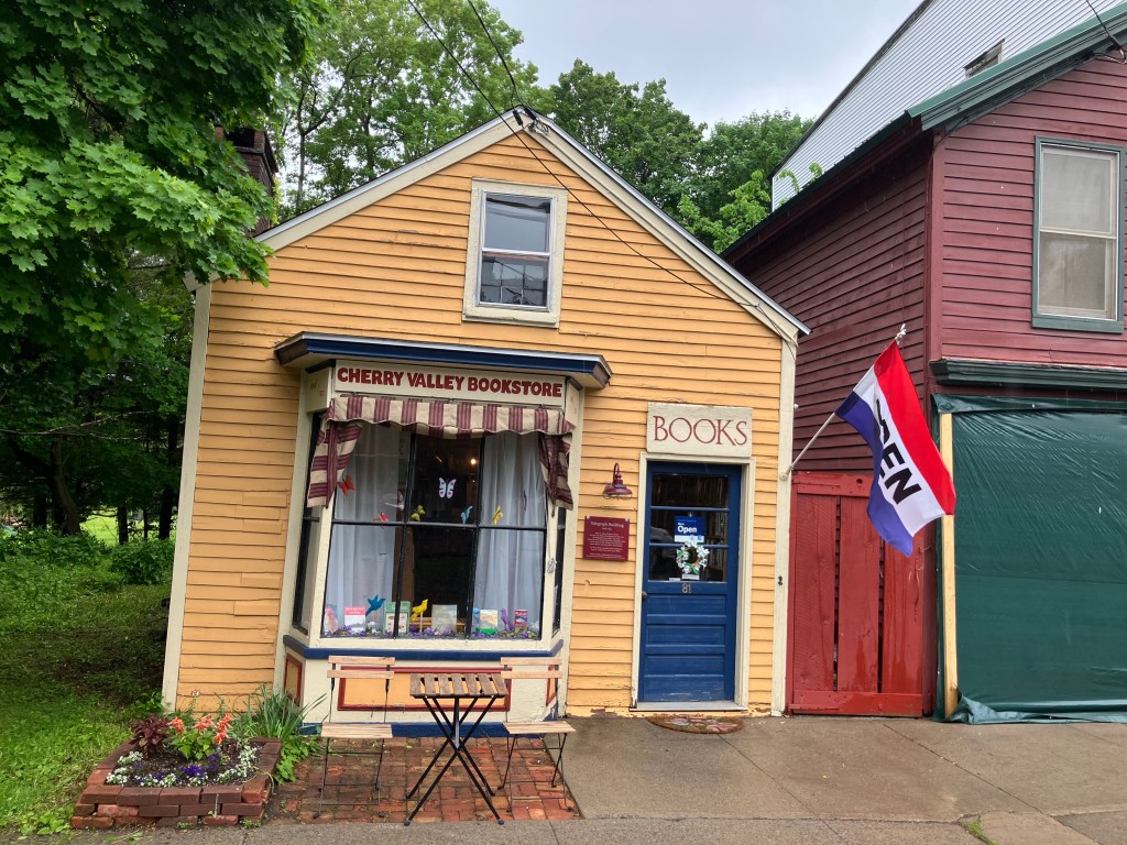
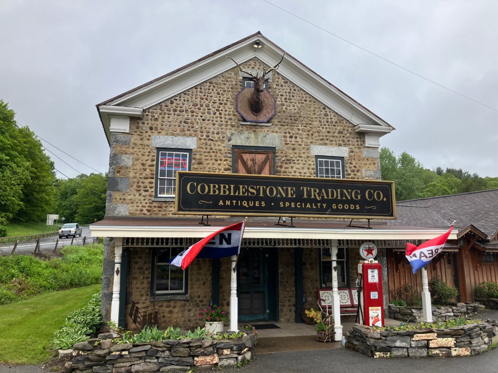
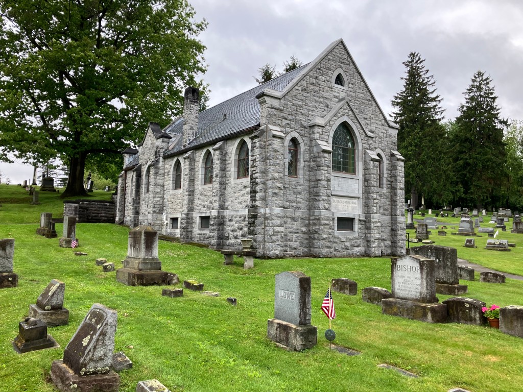
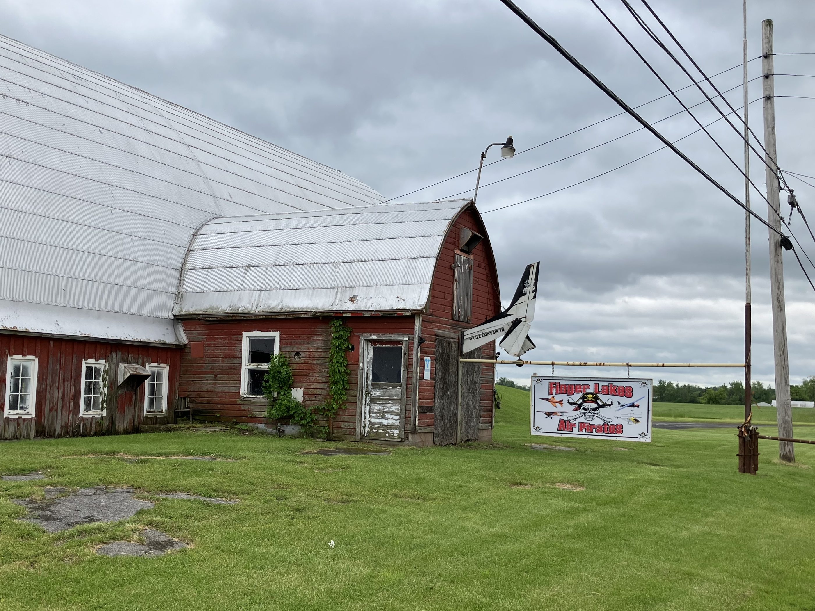
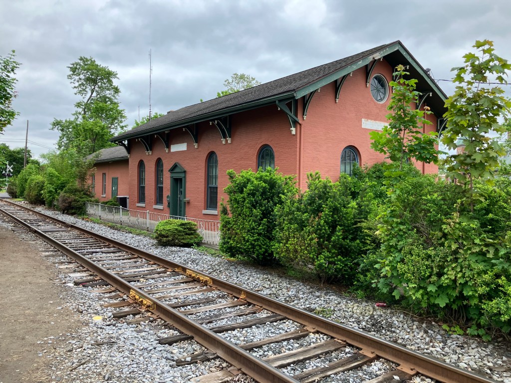
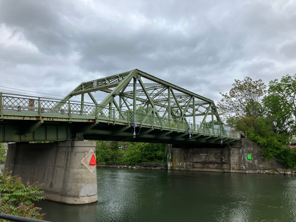
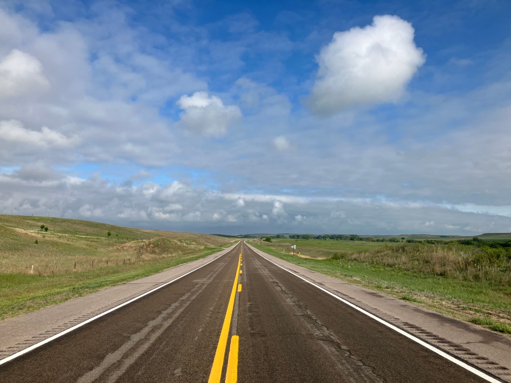
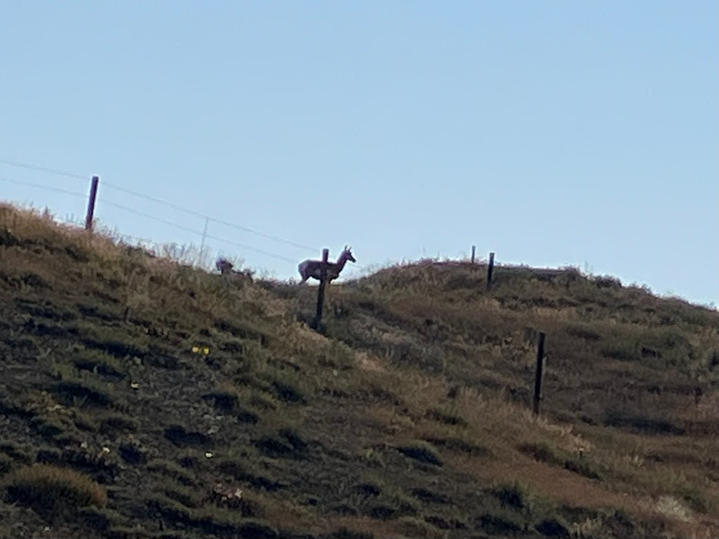
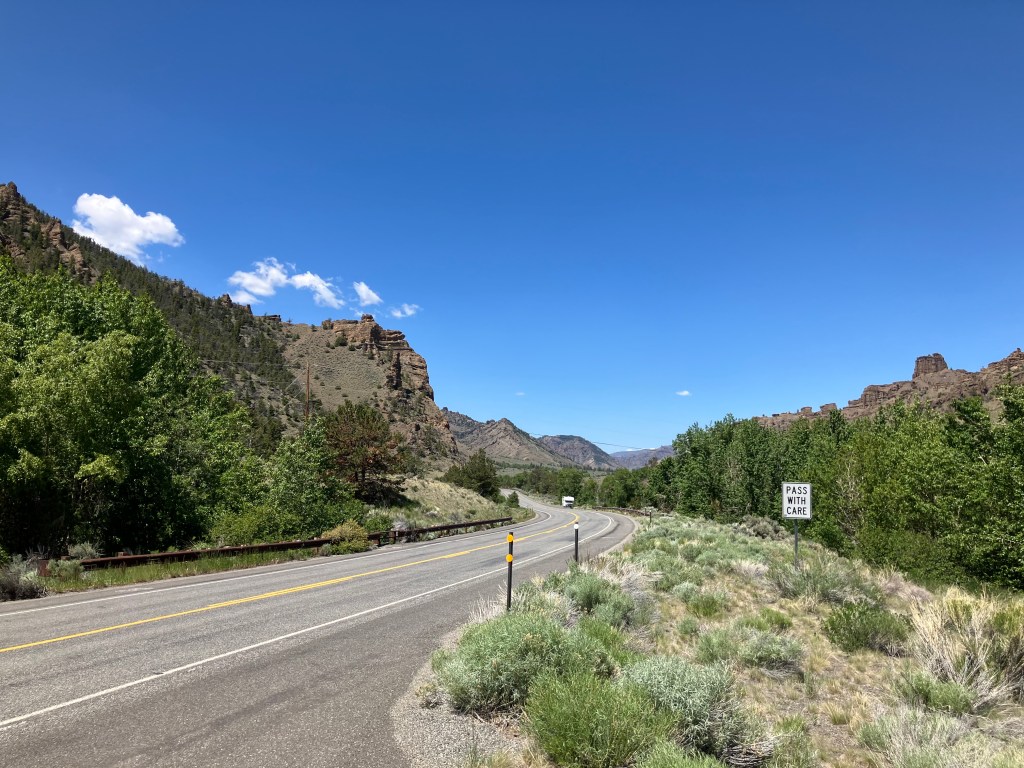
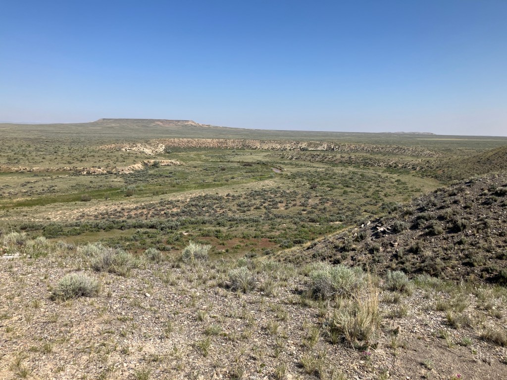
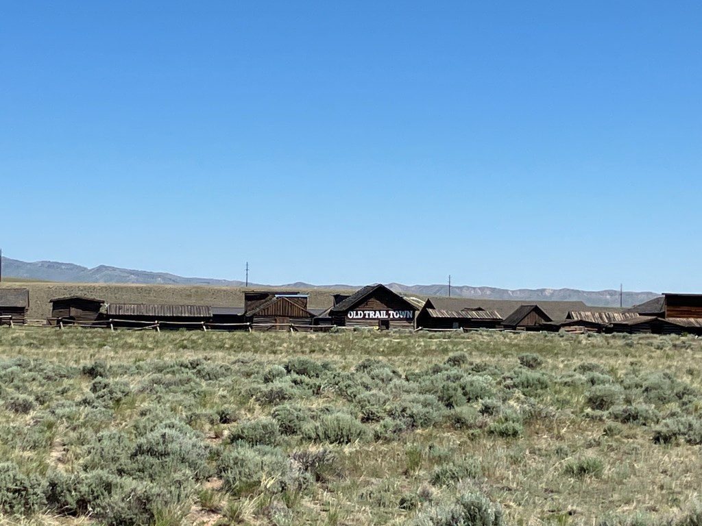
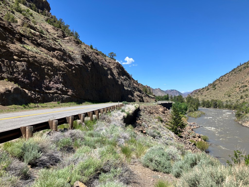
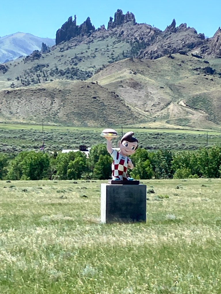
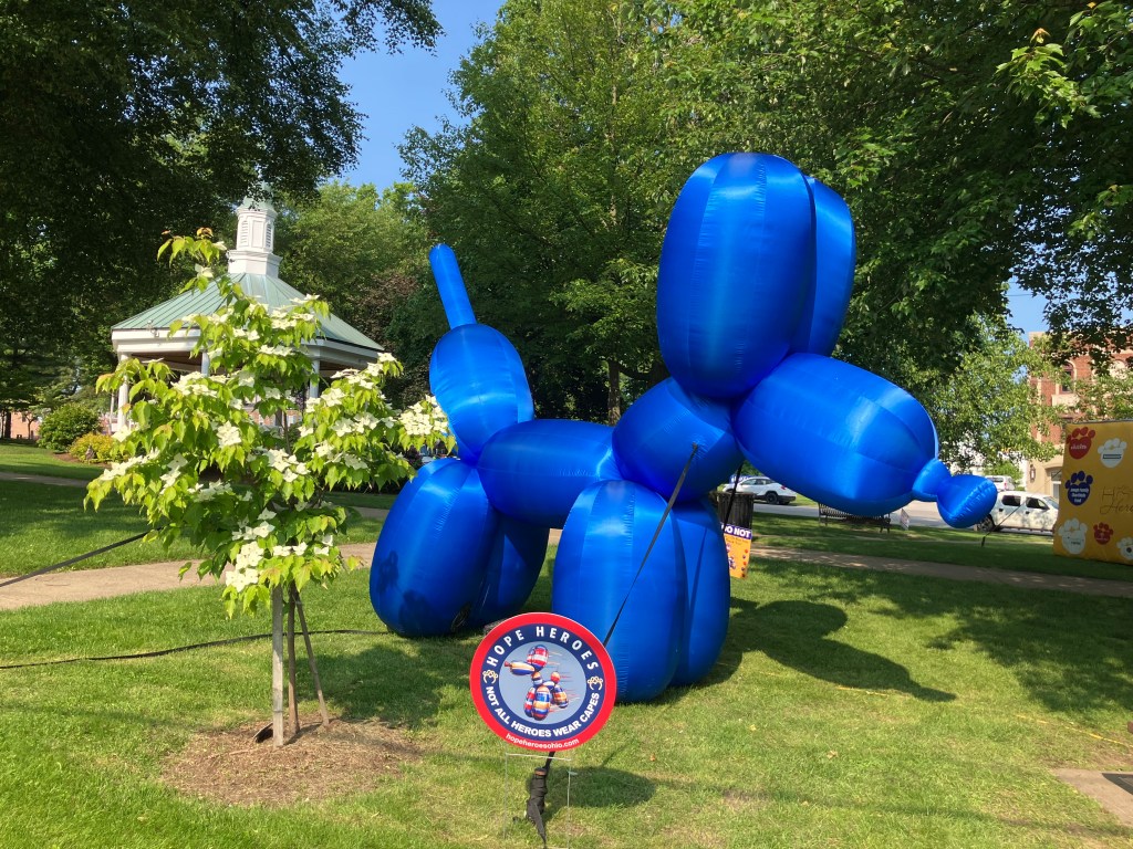
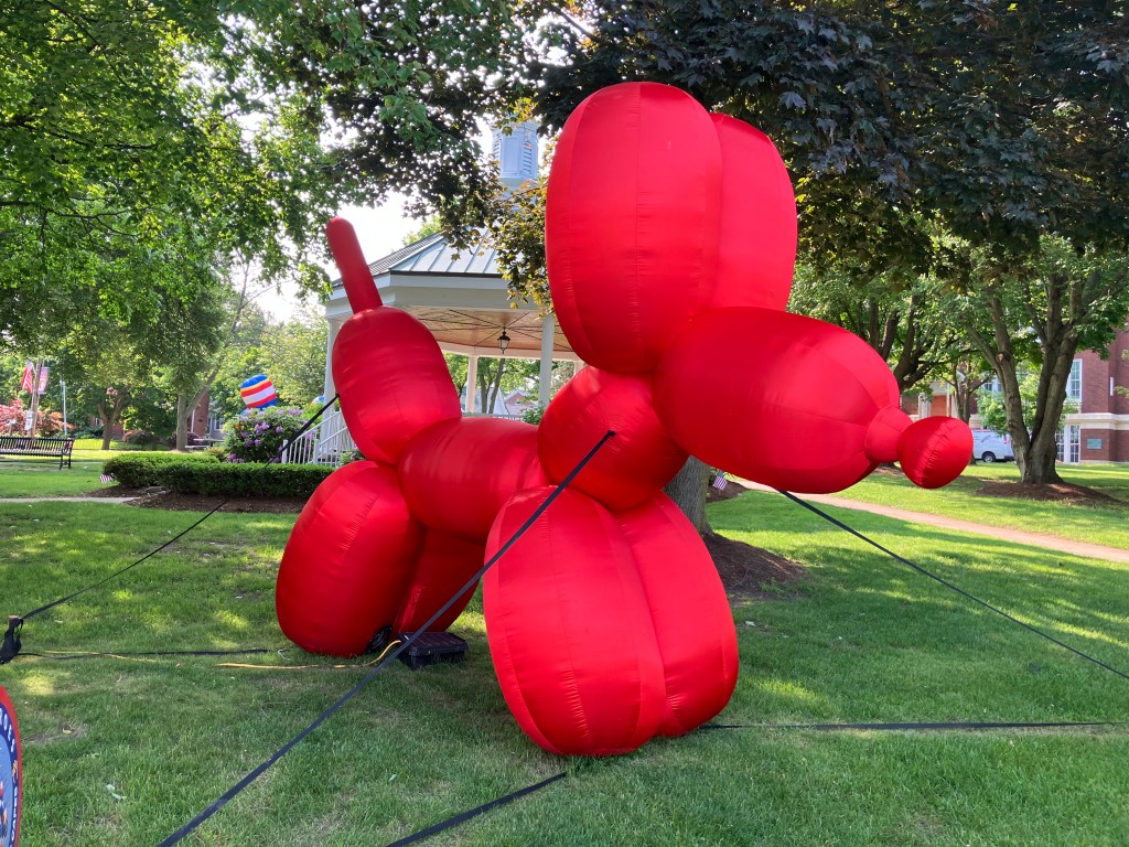
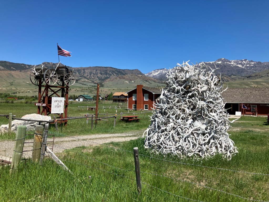
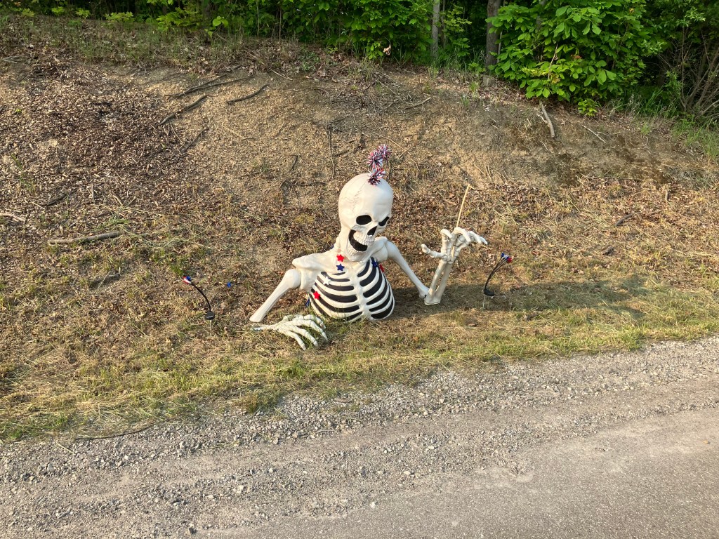
Finally, we end with a handful of photos from all along US 20 that largely speak for themselves. Is this a great country, or what?

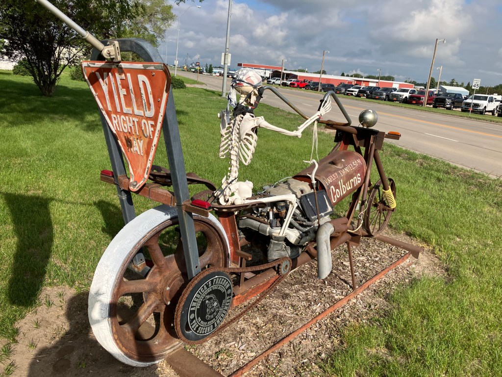
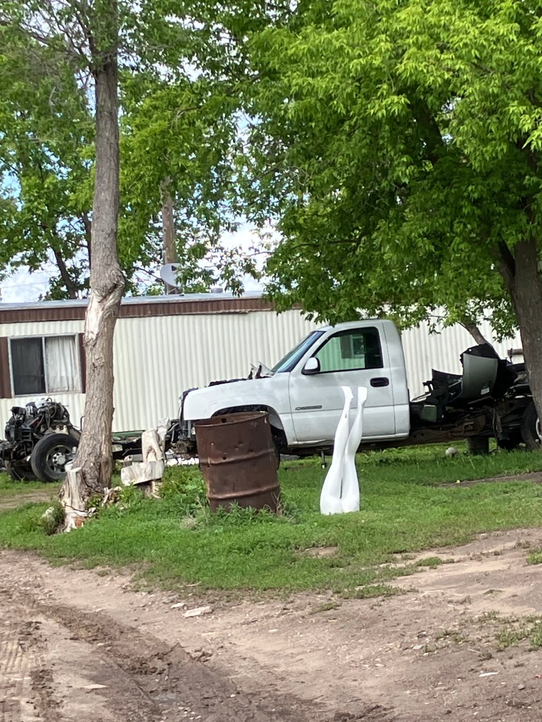
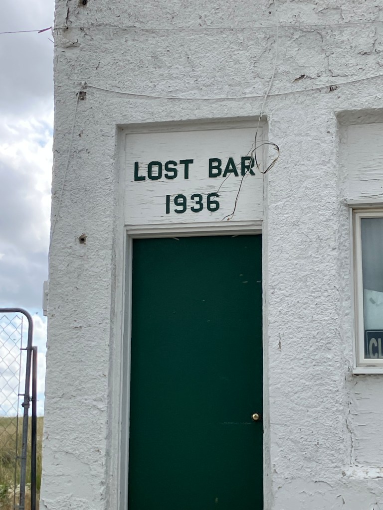
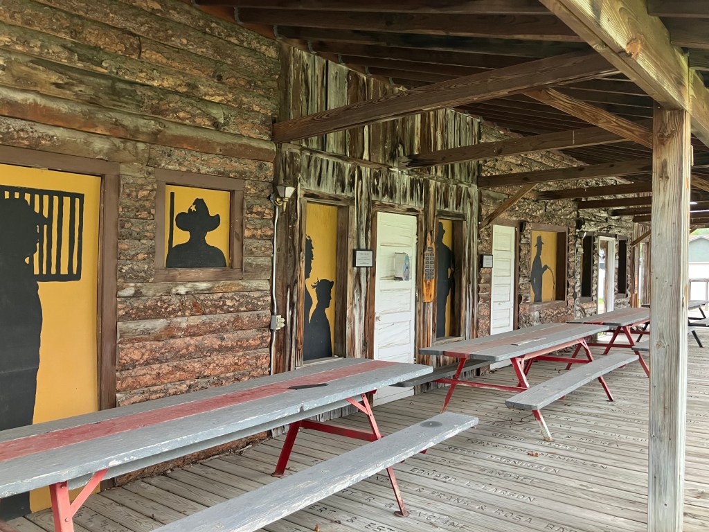
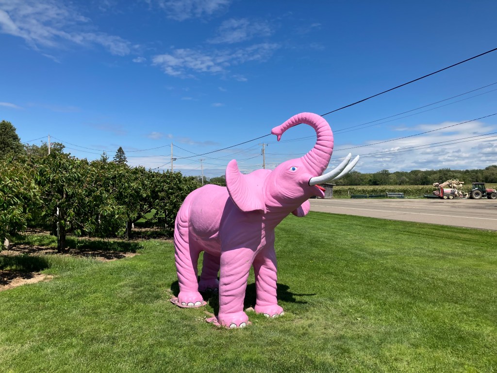
(The pink elephant has become a theme of my trips. For other sightings see here and here and here and here.)

Breweries · bridges · cemeteries · Road trips · trains

Rain Man

This morning I awoke in Great Barrington to pouring rain. It lasted all day, which, to say the least, put a damper on the day. Har.

Because of the weather I didn’t get out of the car as much as I’d have liked. So allow me to finish up my story of yesterday’s travels:

Around 4 pm I was passing the town of Chester, Mass. (pop: 1,300). A sign advertised a historic railroad depot and museum just a few blocks away, so I figured I’d make a quick stop. Alas, the station–which is beautifully restored–was closed for the day. Disappointed, I sat on a bench on the station’s front porch and began to consult my map to figure out where I’d get dinner.

Chester Depot, which dates back over 150 years.

Then a man approached me from a house directly across the street. Dave (for that was his name) turns out to be a long-time volunteer at the station who frequently gives tours. Since he lives across the street, he’s able to come out and greet visitors even when the place is supposedly closed. And so, for the next hour or so, I got a private tour of the depot.

Dave, showing off his baby.

The depot has been lovingly restored since it was acquired from the railroad in quite rough condition. After the railroad stopped running passenger service, the station was used as a maintenance and storage facility, which means the walls and hardwood floor literally took a beating. But look at it today:

The railroad and depot are notable for a number of reasons (believe me, I heard them all!) but most notable is that the station is situated at the bottom of a mountain. The rail line had a steep grade, so trains would stop here while “helper” engines were added to push or pull the train over the mountain. Another notable aspect of the railroad is a series of 10 stunning keystone arch bridges, built in the 1840s, that still carry trains over the Westfield River. Oh, and the railroad was surveyed and/or engineered by George Washington Whistler…that is, the painter Whistler’s father. (Everyone only knows Whister’s mother.)

At Dave’s urging I visited one of these keystone arch bridges, only a few miles from the depot. It’s picturesque and impressive from an engineering perspective.

Finally, I got back onto Route 20 and headed up that self-same mountain that necessitated the helper engines years ago. An automobile road over the mountain was added in 1910, though it was a primitive, difficult drive. Modern Route 20 parallels that original road, and arrives at the same 1,775-foot summit. And so, when I arrived at the summit, I encountered a stone cairn monument that was originally placed there in 1910. It was made from stones collected from roadway infrastructure from all over the world.

1910 monument.

So much for yesterday. Today, as I mentioned, I spent the day driving through rain. But I did manage to make a couple of worthwhile stops. One was The Tepee–a classic roadside attraction from the Golden Age of road trips.

The Tepee is a souvenir shop that dates back to 1950. It’s the kind of place that my brother and I always begged our parents to stop at, so we could get Big Hunk candy bars, “perpetual motion” drinking birds, paperweights with the name of the state we were visiting, and suchlike.

Inside the Tepee.

The Tepee is owned by sisters Dale and Donna, who bought it from their father over a decade ago. So it’s definitely a family operation. Dale is the friendliest person you’d ever want to meet, and exudes a love for her business and her customers. She also really knows her Route 20 trivia, which kept me entertained for quite awhile. This place embodies the reasons that I value these road trips.

Dale, ever the show woman.

At Dale’s urging I took the US 20 “scenic bypass” that was the original route 20 alignment. It’s a little narrower and hillier than the new alignment, but it’s also greener and it passes through the village of Cherry Valley (pop: 2,300).

Beautiful Bypass.

Cherry Valley is a cozy little town, nestled amid trees and hills. I stopped in at a used bookstore that, to me, looks like it came out of a Dickens novel It was built in 1840, and the current owner told me Samuel Morse (inventor of the eponymous Morse Code) developed his telegraph here in the late 1840s.

An old curiosity shop…

The bookstore owner (whose name I failed to get) told me that Cherry Valley used to be a thriving community until US 20 was re-routed, taking all the drive-through traffic with it. He told me the highway was moved in order to satisfy a powerful state legislator whose own property would benefit from the change. I have been unable to corroborate this.

Before long I crossed the state line into New York. Driving through this part of the country feels like going back in time.

Old farrier/blacksmith along the roadside, dating back before automobiles. The owner gave me an affogato, God bless her!

1893 Burrow Chapel in Lake View Cemetery, Skaneateles, NY.
Paging Waldo Pepper…
Railroad depot in Seneca Falls.

Finally, I arrived in Seneca Falls, NY (pop: 7,000). It’s a pleasant town situated on the shore of Seneca Lake (the largest of the Finger Lakes). Seneca Falls was the site of the first women’s rights convention (in 1848), and it continues to play up that role with a major Women’s Rights Museum. It also claims to be the inspiration for the fictional town of Bedford Falls from Frank Capra’s It’s a Wonderful Life. Among other things, the bridge where Jimmy Stewart’s character tried to kill himself was supposedly modeled on Seneca Fall’s Bridge Street Bridge (I’m not making up that name). I visited the bridge today, and I do see the resemblance…but I could say that about many other bridges as well.

In the 1946 movie, George Bailey jumps off the bridge to save someone in the water. In 1917, real-life Antonio Varacalli jumped off the Seneca Falls bridge to save someone in the water.
“Bridge Street Bridge” in Seneca Falls.

Finally, I stopped for the night in Geneva, NY (pop: 13,000). It is here I had my….

Brew of the Day

I got my BOTD Geneva’s Lake Drum Brewing. It’s one of the friendliest, most laid-back breweries I’ve been to. I ended up spending two hours chatting with the bartender(s) and a couple of regulars, while I worked my way through a flight of beers and the BOTD…which we’ll get to in a moment.

Steve, Laura, Sam, and Aaron–my new friends at Lake Drum Brewing.

But first let me describe this place. They brew their own beer (with about eight beers currently on tap), plus they brew their own cider, plus they even make a couple of wines. They have an extensive (and I mean massive) collection of vinyl records that they play on a turntable that resides in an old wine barrel.

Now do you believe me?

They have patio seating for when it’s not raining, and endless free popcorn. But what’s most important is that they made me feel welcome, including me in a meandering conversation that touched on fishing, equine care, cross-breeding of cats, the best burger places in the region, music, foreign travel, and funding of the arts. Anyone in the food/drink business should take note: what gets people coming back is not what you’re serving, but how you treat your customers.

Anyway, speaking of serving drinks: today’s Brew of the Day was not a beer, but a kombucha. Now, I know kombucha has been popular for some years now, but I’d never tasted one until now. For those few of you (like me) that missed the kombucha train, it’s essentially fermented tea. Which maybe doesn’t sound that great, but this was refreshing and delicious. It was flavored with ginger and mint, and it’s just as refreshing as it sounds it would be. It’s got light carbonation, but almost no alcohol, so you could throw it back like iced tea on a hot day. I feel I have no standing to actually rate this drink, since it’s the only one I’ve ever had. But I enjoyed it immensely. I do worry, however, the Marianne’s Phenomenon could be at play. (I describe the Marianne’s Phenomenon in my memoir…but essentially it refers to one’s enthusiastic experience with a new food resulting in large part from being hungry or otherwise affected by the setting.)

New fave, or one-night-stand?

Tomorrow’s BOTD will return to actual beer.

Breweries · cemeteries · Road trips

Family Matters

I arrived in Beantown this morning about 6:30, got a good cup of coffee, and soon was in temporary possession of a Nissan Altima (which, I’m told, is specifically designed with an eye to the rental trade). Everything was moving along according to schedule.

Things gummed up considerably when I drove out of the airport and entered Boston’s rush hour traffic. It took me over half an hour to drive five miles. But finally, I was at Kenmore Square, right next to Fenway Park, and under the giant Citgo sign that gives this fair city light. This is where Route 20 begins (or ends, depending on your perspective.)

Sorry; the giant Citgo sign is behind the green sign…which, for our purposes, is more relevant.

I know there’s a lot to do in Boston. I know it’s a great town. In fact, it wasn’t that long ago that friend Vic and I made a visit that I wrote about in this blog post. But today is not that day. I’ve got a lot of miles to travel, and the focus is on the gentle, low-key life of everyday America, not on a teeming capital city of about 650,000 souls. So I spent most of the morning just trying to escape the metro area.

But eventually, the traffic began to subside and I found myself in the city of Worcester (pop: 200,000). It’s still a biggish city, but I spent a pleasant, quiet hour surrounded by smiley faces. Let me explain.

I was at the Worcester Historical Museum, which dates back to 1875. It recently moved to a stately brick building that used to be the headquarters of the Worcester County Horticultural Society. Upon entering I was greeted by the estimable Deb, who grew up in the town and has encyclopedic knowledge of everything that’s happened over the past 150 years. Oh, did I mention this year is their 150th anniversary, and I got in for free?

Deb, demonstrating the famous Worcester Smiley Face.

Among the firehose of factoids she shared, the one that made the greatest impression is that the humble and ubiquitous Smiley Face was invented in Worcester in 1963.

It was designed by a local artist named Harvey Ball, who was commissioned by an insurance company to design a moral-boosting image for their staff. If you were alive in the 1960s or 1970s, you know how the Smiley became a pop culture phenomenon. And of course it remains omnipresent today, adorning WalMart uniforms and, much more importantly, morphing into the emojis that adorn the majority of text messages.

A tiny part of the museum’s Smiley collection.

Deb wanted me to know that Harvey Ball never trademarked the Smiley, and so he never made anything off it other than about fifty bucks for the original drawing. But in the 1990s Walmart tried to copyright it, which led to a court (Deb couldn’t tell me exactly which one) decreeing that they couldn’t claim credit for Harvey’s work. Or something like that.

After visiting the museum I made a pilgrimage to pay my respects to Harvey Ball. I think you can guess where this is leading:

Notre Dame Cemetery, Worcester, MA

It was time to get back on the road, and once Worcester was in my rearview mirror, US 20 settled into the kind of road I’ve been longing for: rolling hills, a lane or two each direction, and a route smack-dab through the middle of numerous small towns.

Next up was the town of Indian Orchard, a small village on the outskirts of Springfield, Mass. Now, alert readers may recall that about a dozen years ago I discovered a large Boilard clan living in the northeast. One roguish member of this Boilard branch of the family tree was my grandfather, Henry “Red” Boilard. You can read about him here on my website. Anyway, Henry had an uncle named Adelard Boilard, who founded Boilard and Sons Lumber in Indian Orchard in 1936.

Historic thermometer hangs in my garage, but I’d never visited the store.

So, since US 20 goes right by Indian Orchard, I figured I’d pay a visit to the old family business at 476 Oak Street. The building still stands on the same site, but as of a couple of years ago Boilard and Sons got purchased by Koopman’s Lumber. The name of the business changed, but next to the front door there’s this plaque that acknowledges the lineage.

I went into the store hoping that maybe someone remembered the old Boilard family. I explained to the man behind the counter that my name is Steve Boilard, and that I’m related to the family that founded the store. Was he familiar with the history? The guy, whose name is Bob, did indeed know the history and explained how the family ran the place for over 85 years. I asked him if any family members were still involved with the operation. He said, “Well, there’s me.” His name is Bob Boilard…Adelard Boilard’s grandson. Talk about burying the lede! I guess that proves he’s a Boilard after all.

Me with Bob Boilard, who’s demonstrating the famous Boilard enthusiasm.

Bob gave me directions to the local cemetery (another Boilard trademark) and suggested I pay a visit to Adelard Boilard. Soon I was at Saint Aloysius cemetery…but finding Adelard would be like a needle in a haystack. As luck would have it, I ran into a cemetery employee named John, but he said the formal directory was in another part of town, and it wasn’t open today. At my obvious disappointment, he lowered his voice conspiratorially and said, “Well, we can see if maybe there’s anything helpful in the garage.”

Co-conspirator John.

He led me into a dark and dusty building, and asked me when Adelard died. “December of 1981,” said I. John then produced a worn and dusty journal and flipped the pages to December. It had records for all burials that month. No Boilard. “Sometimes they didn’t get recorded,” he explained. But as I was about to turn away empty handed, he said “Wait–these are recorded by date of burial, not date of death.” He pulled out the 1982 journal, and turned to January:

Second line (Jan 4): Adelard Boilard

The journal included DaVinci-code-like notations next to the name, which John then used to locate the grave on an ancient plot map.

Boilard: Middle-left edge.

And with that information, my friends, I was able to locate the Boilard marker, under which are buried Adelard, his wife Lillian, and several other Boilards.

Be it ever so humble…

There’s one more postscript to this story: when my Aunt Mary (one of the east coast Boilards) learned of my Route 20 trip, she told me there’s another relative I need to visit in Indian Orchard. Phyllis Emet (nee Boilard). Phyllis’ grandmother was Adelard Boilard’s sister. I guess that makes Phyllis Adelard’s grand-niece? (Somebody please help me with this!) Anyway, Phyllis is 90 years old and has encyclopedic knowledge of the Boilard family history. I spent a delightful hour getting filled in on family lore.

Me with Phyllis, keeper of the Boilard secrets.

After visiting with Phyllis I stumbled upon some interesting (non-Boilard) history in the town of Chester (pop: 1,250), but I think I’ll save that tomorrow as this post is getting long and the jet lag is kicking in. I will end with the…

BOTD

Meh.

I had my dinner and my Beer of the Day at a place called Barrington Brewery in the town of Great Barrington, Mass (pop: 7,200). I didn’t realize until I saw the bartender’s polo shirt that I’m in the Berkshires. It’s admittedly a very nice environment around here.

On the bartender’s recommendation, I had a pint of the Barrington Brown Ale (5.4 percent alcohol, which barely exceeds the alcohol you’d get from the brandy-flavored chocolates your grandma kept in a dish at Christmas time). After all my other great successes today, I should have known my luck couldn’t hold out. This ale is the color of Lipton Iced Tea, and it’s similarly uncarbonated. It has no discernible strong flavors at all. The mouthfeel is positively watery. It reminds me of dishwater, with notes of dirty straw and potato peels. The finish evokes soggy Cheerios. This is a spectacularly forgettable beer. 1 star.

Road trips

The Long(est) and (not especially) Winding Road

Long-time readers of this blog will recall my goal of driving all the transcontinental US highways in the United States. There are a few caveats to this goal: I’m ignoring the interstates, which are boring, putatively high-speed freeways designed specifically to minimize encounters with towns and villages and, it seems, scenery. Instead, I’ve focused on the US Highway system–the “blue highways”–that traverse the continent. In terms of the US Highway numbering system, this means routes designated with two-digit numbers ending in zero.

Don’t try this at home.

Transcontinental routes I’ve traveled to date include US Route 50, US Route 60, US Route 70, and, somewhat defying the numbering convention, US Route 2. All of them are primarily two-lane roads whose alignments date back to the early 20th century, and which pass right through the center of countless towns, villages, and ghost towns. In fact, these routes are designated Main Street in many, many cities. In between are miles and miles of open country.

Many US Routes have nicknames–US 50 is “The Loneliest Road in America,” Route 66 is “The Mother Road,” US 70 is “The Broadway of America,” US 2 is “The Highline.”

A stretch of “The Loneliest Road in America.”

To my collection of transcontinental routes I am about to add US Route 20, whose somewhat unromantic, bureaucratic nickname is “The National Medal of Honor Highway.” It runs from Boston MA to Newport OR, for a grand total of 3,365 glorious miles. Accordingly, it is considered the country’s longest road.

From Sea to Shining Sea

Now technically, this is a discontinuous route, for US 20 does not exist within the boundaries of Yellowstone National Park, through which you must pass to get across the country. In fact, the original route (opened in 1926) stopped at Yellowstone, and was only extended to the west coast in 1940. For reasons that will become clear later, I will only be driving that original route, from Boston to the east entrance to Yellowstone.

Did somebody say Jellystone?

And so I am sitting here at Sacramento Intergalactic Airport awaiting my overnight flight to Boston. In the morning I’ll pick up my rental car and begin my westward trek, with daily posts over the next week and a half. If you have any suggestions for a stop along the way, or if you live along the route and want to buy me a beer, please say so in the comments below!

Oh, and at the end of this journey I’m going to invite readers to suggest a better nickname for US 20. The winner will get a Medal of Honor.