
Tuesday was Day 2 of my road trip, and unbeknownst to me in the morning, it would be the last day of the trip.
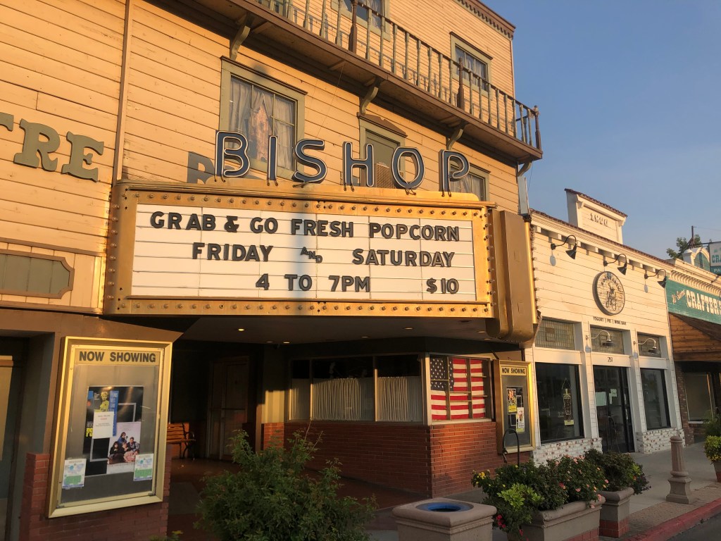
I woke up in Bishop (population: 3,900). Located on US 395 at the northern end of the Owens Valley, Bishop is a pleasant, prosperous little town — a far cry from almost all the other towns I passed along the eastern Sierra the day before. Bishop is in Inyo County, which is the second largest county in California in terms of area…and yet Bishop is the only incorporated city in the whole damn county.
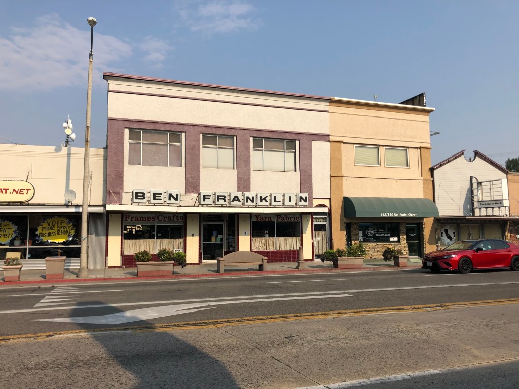
The thing that immediately struck me about Bishop is that along its main drag (i.e., US 395), virtually every business is a homegrown, independent operation. The only name I recognized was an old Ben Franklin five and dime…and it gets a pass because its virtually extinct. I honestly didn’t even think Ben Franklins still existed.
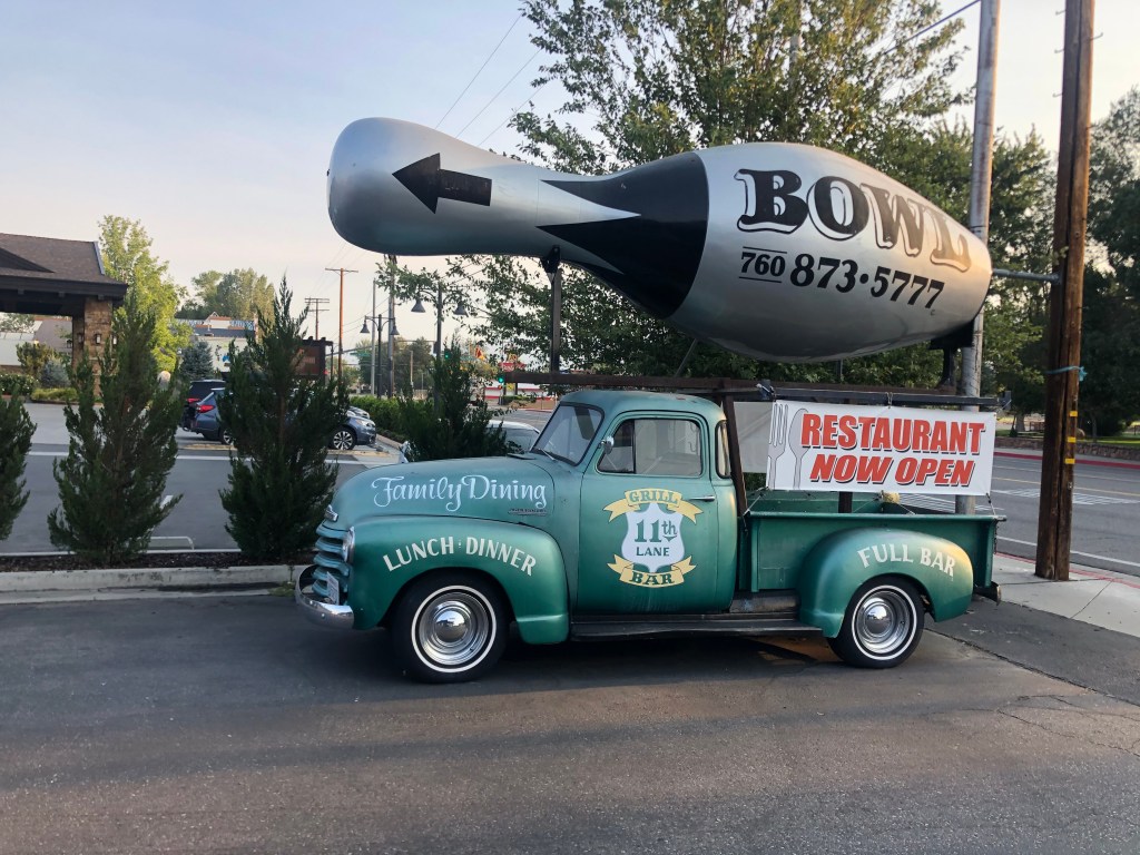
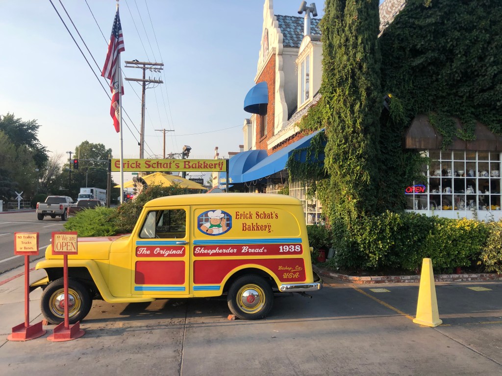
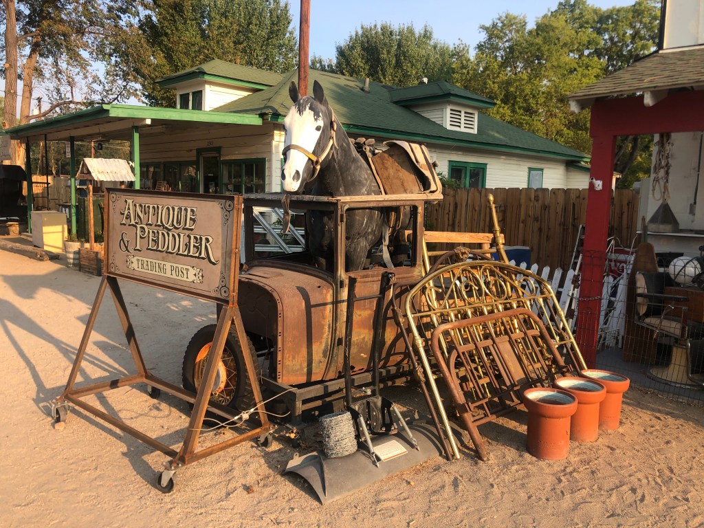
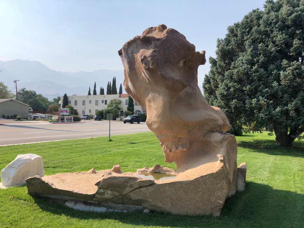
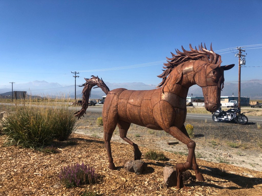
The second thing that struck me about Bishop is that every business seems to use a vehicle as its calling card. Check out these examples:
Finally, many of you know I have a fondness for old theaters. The specimen in Bishop isn’t especially ornate or even attractive, but I do like how it matches the vibe of the town.
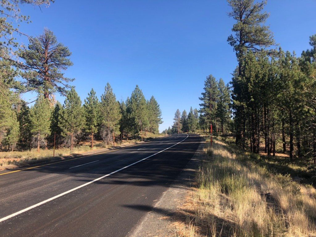
After a mighty tasty breakfast bagel from Schat’s (I find when I’m in small towns like this I use phrases like “mighty tasty”), I got back on the road and headed north. It was a very pleasant morning ride. The air was crisp, pine trees dotted the landscape, and the Sierras appeared even closer than they did yesterday.
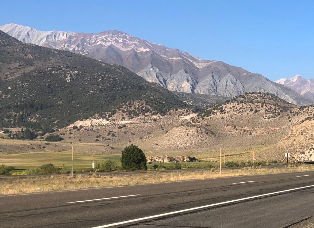
Soon I was rising high into the mountains, and the landscape transformed with heavier concentrations of conifers. I passed June Lake and Mammoth Lake up around 8,000 feet.
After a bit I found myself passing Mono Lake. Unlike Owens Lake, which I’d passed the day before, Mono Lake is still very much a real lake. When I was in high school, back in the Pleistocene era, “Save Mono Lake” was a rallying cry. The lake was another victim of Mulholland’s efforts to redirect water to Los Angeles. The water level had dropped precipitously, and ultimately locals were able to sue LA to partially relent. Since that time, the lake level has risen somewhat.
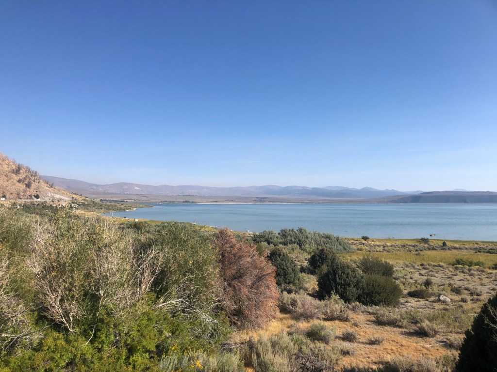
But one result of the lower water level is that the lake’s renowned tufa formations are exposed. The tufa towers are essentially limestone. Because the lake has no drainage to the ocean, minerals concentrate in it over time and this give rise to, among other things the tufa towers. As the lake’s water level has dropped, the tufa towers have been exposed.
In nearby Independence, which is the county seat of Inyo county, a tufa formation is on display in front of the courthouse.
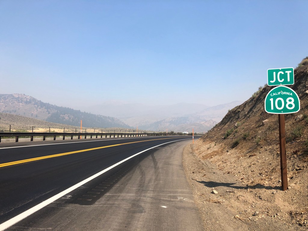
Now I was entering Bridgeport (population: 575), which is about 40 miles before the El Camino Sierra leaves 395 and heads west on CA 89. That junction is at Topaz Lake, which is on the border with Nevada. I was looking forward to these upcoming attractions when I saw a large portable CalTrans sign (with all the light bulbs that (typically mis-)spell an important message. It informed me that US 395 was closed ahead, and directed me to a detour. I was near a ranger station, and went in to ask how I could get to Topaz Lake. “It’s on fire,” the ranger told me. I think she meant “on fire” not in the Cuyahoga sense, but rather the area surrounding the lake was on fire. Evidently lightning had sparked the fire a couple of days earlier, and it had already burned about 14,000 acres. I could only go about another 15 miles on 395 before I’d be turned back.
I thanked the ranger for the information and consulted my map. There was really no practical way to get back onto the El Camino Sierra without an enormous detour. And in any event, I’d have to skip a good chunk of the route. So, since I’d originally planned to return homeward along the western Sierra, I figured I’d just cross over the mountains from here. Conveniently, the CA Route 108 turnoff was just about 15 miles further north on 395, which would be before the roadblock. And CA 108 would take me over Sonora Pass and drop me onto the western side and into the city of Sonora.
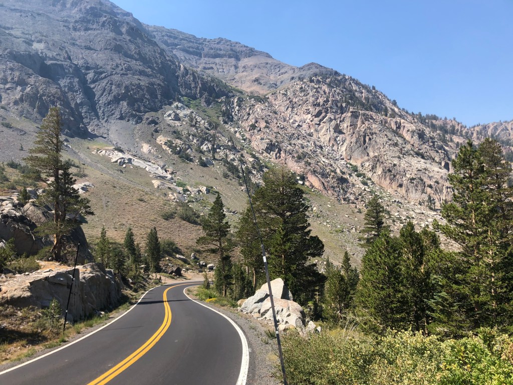
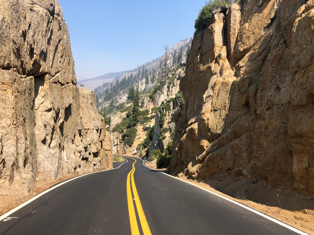
CA 108 is a stunningly beautiful road, winding around and cutting through the Sierra Nevada’s granite obstructions, reaching a height of about 10,000 feet, and then dropping precipitously — I mean frighteningly so — on the western side, then leveling out in open meadows. A hundred and fifty years ago, pioneers would spend weeks trying to get their asses (literally) over this pass.
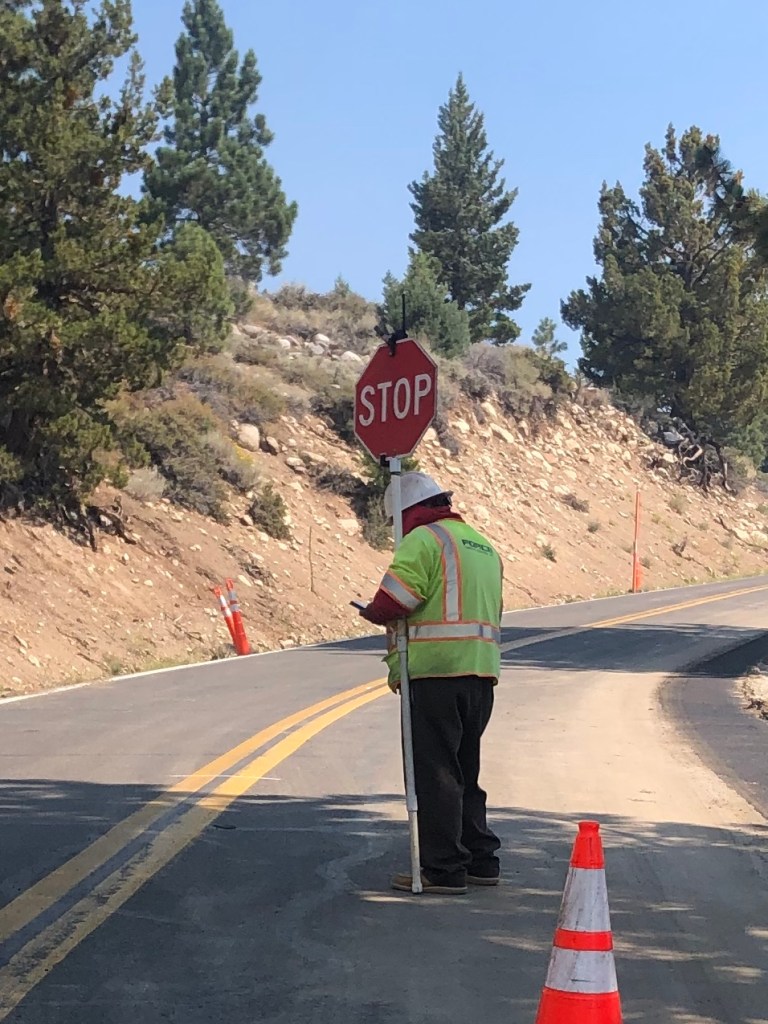
The experience of crossing the Sierras was interrupted for 20 minutes, when a flagman stopped me for no discernible reason. He spent the entire time on his cellphone with his back to me, and had a boombox that was playing death metal. I’m not making this up.
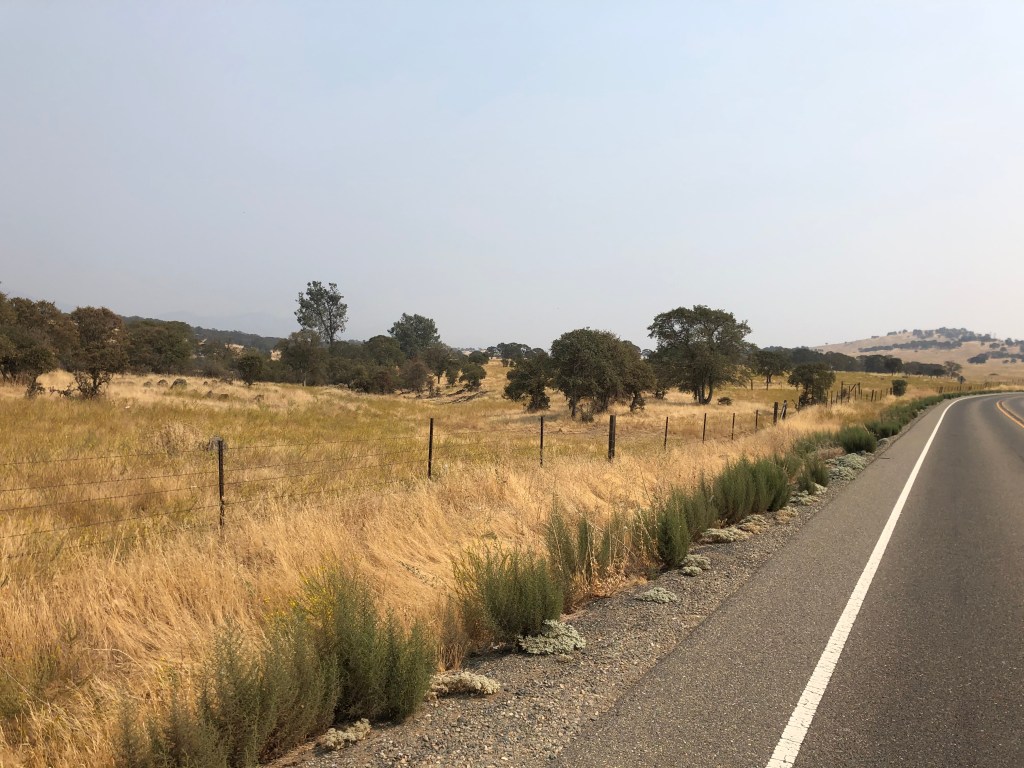
Ultimately, I arrived in Sonora without incident, and after receiving sustenance in the form of two gas station corn dogs, I headed south on CA 49. This is the iconic road that cuts through California’s historic gold country. Since I’d come over the mountains further south than I’d originally planned, I missed a good chunk of 49. But now heading south from Sonora, I was enjoying the rolling fields and iconic valley oaks that characterize this part of California.
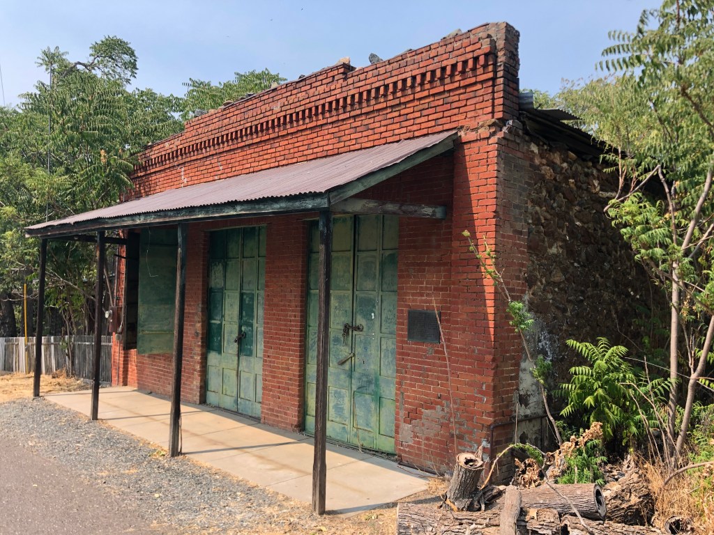
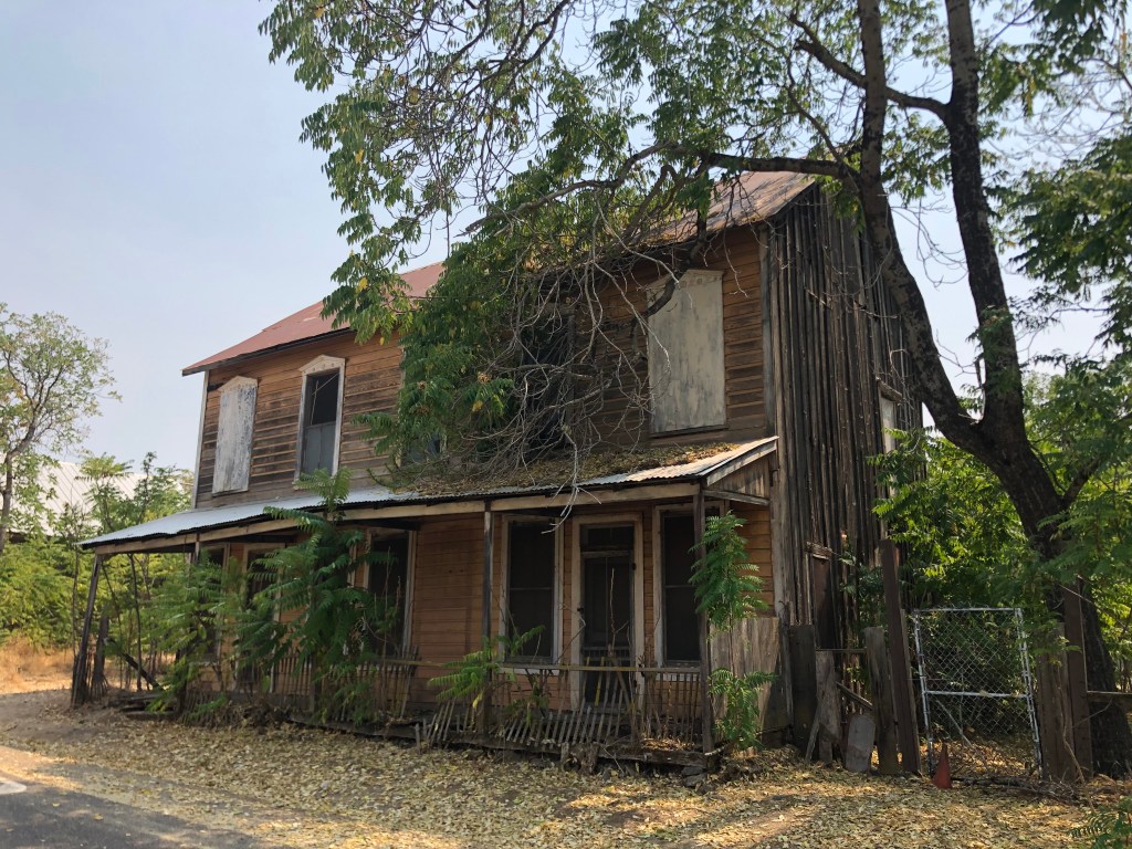
Soon I was passing through the town of Chinese Camp (population: 120). It’s essentially a ghost town, but in the 1850s it had about 5,000 residents, primarily Chinese, who were attracted by the Gold Rush but were forced out of neighboring towns.
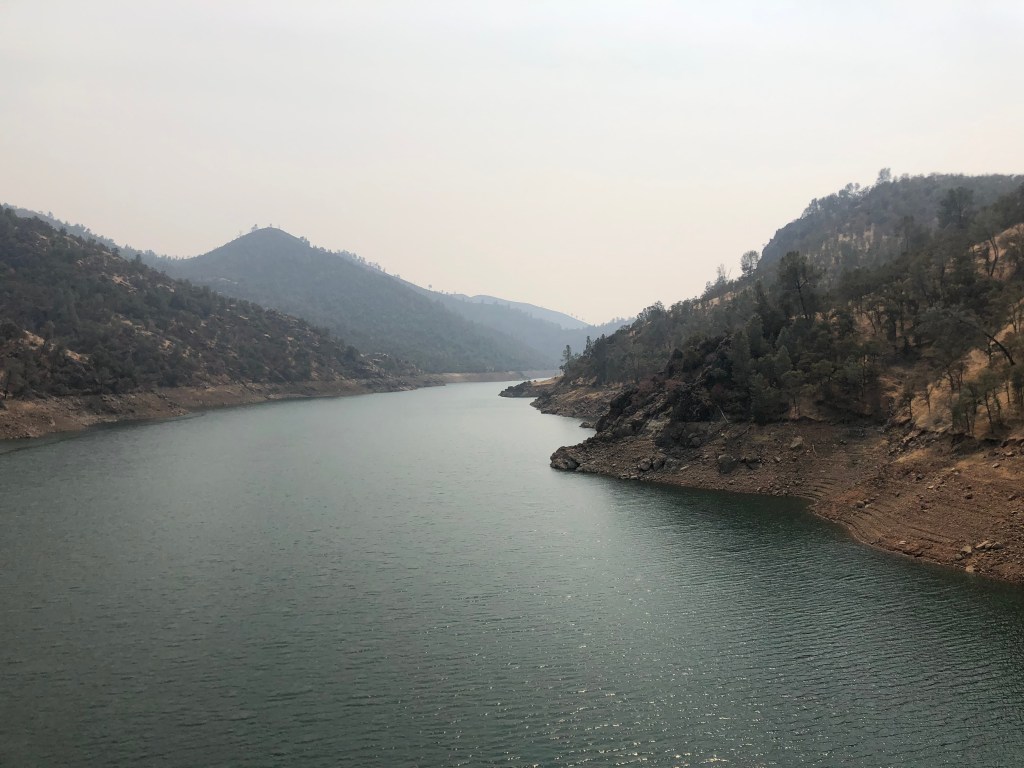
One other feature of this region is Lake Don Pedro. This reservoir was originally created when the Tuolumne River was dammed in the 1920s. But in 1971 the dam and reservoir were significantly upgraded, which led to a relentless advertising campaign for lakeside vacation rentals which I remember seeing on the UHF stations I watched as a child.
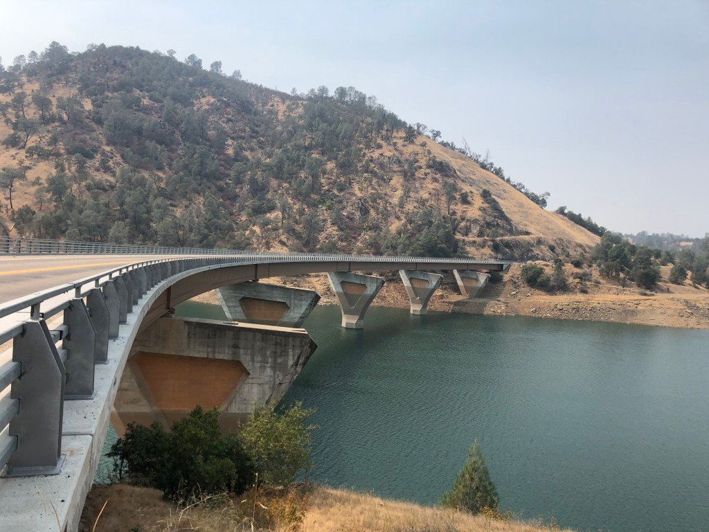
The James Roberts Bridge crosses the Tuolumne River near Don Pedro reservoir. It was part of the redesign of the reservoir in 1971. At the time, planners figured that the popularity of the lake and other factors would eventually require a four-lane bridge. So they built wide supports to allow for eventual expansion (projected for 1995). Alas, or thankfully, the traffic never materialized.
I continued heading south along the western Sierra foothills, and eventually connected with CA 99. I took soulless, anodyne freeways the rest of the way home.
Some day I still must drive the entire El Camino Sierra. Or maybe I’ll just drive that final portion of it that I couldn’t do on this trip. In any event, it was an enjoyable experience seeing a side of California (literally) that is often forgotten about.

Almost, almost, nah… Sorry to read about your fire drill. It seemed like an idyllic Boilard trip (until it wasn’t…) Stay safe! – Peter
LikeLike
Steve: It seemed like the perfect idyllic Boilard road trip (mighty tasty breakfast, great small town, a theater, quirky signs). I think I’ve told you about my near-miss career in Inyo County? When I was trying to get hired by Governor Jerry Brown’s OPR in 1975, I also interviewed for the newly created job of Assistant County Administrator in Inyo County. We were living in San Diego and the County Administrator liked my resume and invited me to interview. This was before the construction of I-15, so it was a looooong drive starting early one morning in my ’69 VW from SD to Lone Pine where the county offices were. John Smith (really, that was his real name) interviewed me. Scheduled for a 1/2 hour, we talked for 90 minutes. I drove home thinking that I might have a shot at a job offer. Smith was a local boy who had gone away to college but come home to work for the county engineer’s office and eventually rose to become County Administrator. In his early 60s, he was looking to hire an assistant, train him (never a “her” in those rural counties), and retire in a few years, leaving the Asst. County Administrator to promoted. Succession planning, we’d say today. I was 25 years old and this could be my big break – – – a week later Fred Silva offered me the OPR job and after a pro-forma interview with the OPR Director, they hired me. Carrie and I used to wonder how vastly different our lives would’ve been living in a small town in an isolated rural county on the east side of the Sierra. She would’ve driven a pick-up truck, helped our (future) sons raise sheep or steers for the 4-H, and learned how to can snap beans and apricots. I would’ve bought a .30-06 deer rifle and bagged my annual buck. We’d probably have bought 10 acres (with a spring, of course) and I would’ve given up my 2-pack-a-day cigarette habit for Copenhagen snuff. Our kids would’ve gone to UN-R, and we would’ve watched Reno TV stations, and done a lot more backpacking. But no, I went off to OPR instead! We moved to Sacramento over Memorial Day weekend 1975. But, if we’d gone to Lone Pine, I would’ve bought you a beer yesterday, right? Peace and all good. – Peter (PS: sorry about the Sonora corn dogs… that’s all you could find?)
>
LikeLike