
Back when I was a babe (shockingly, no one calls me this anymore), the good folks at the East Bay Municipal Utility District (East Bay MUD) decided to dam the Mokelumne River in the Sierra Foothills, thus creating a reservoir that would supply the growing population of the East Bay with reliable drinking water. They named the reservoir Lake Camanche.
I vaguely remember the too-good-to-be-true commercials, featuring over-excited sport fishermen and giddy children playing at the beach, that were broadcast over the fuzzy UHF stations on our ancient television set in the late 1960s. The commercials sought to entice families to buy undeveloped land that, thanks to the creation of the reservoir, had suddenly become beachfront property. The sales pitches belong to a mildly ineffable class of advertisements that evoke tropical beaches improbably appearing in the shrublands of California’s dry foothills or, say, the deserts of northern Arizona. Here’s a good example of the genre. For an illustration of how these schemes can go wrong, see my post on the Salton Sea.
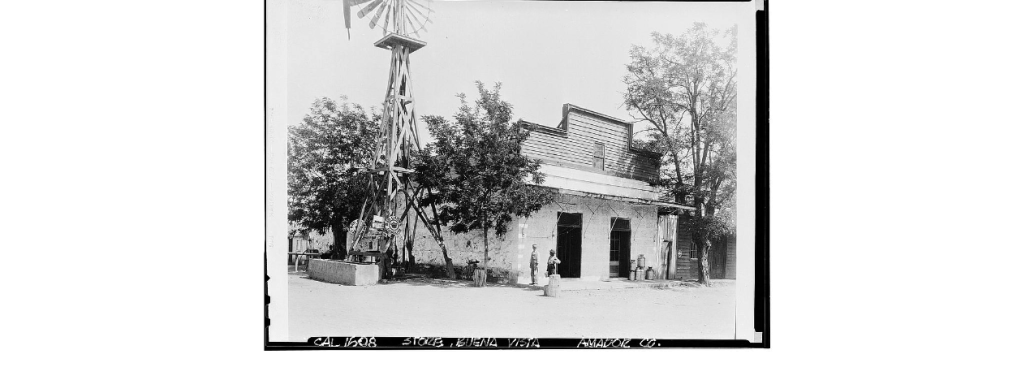
Anyway, although new communities were springing up on the north and south shores of Lake Camanche, several historic settlements found themselves underwater–literally. By damming the Mokelumne River, East Bay MUD flooded several gold rush towns: Lancha Plana, Poverty Bar, and Camanche. The first two were unihabited ghost towns, but Camanche still had some residents and a functioning post office that had to be relocated. (Camanche had been named by settlers in the 1850s after their home town of Camanche, Iowa.) Today, the towns sit under about 150 feet of water. It’s said that scuba divers occasionally explore the submerged remnants of the old towns.
Now, the Sacramento region has been experiencing unusually warm temperatures this week, feeling more like mid-spring than mid-February. And if that’s not a good enough reason for a retired chap to take a little road trip down to Lake Camanche, I don’t know what is.
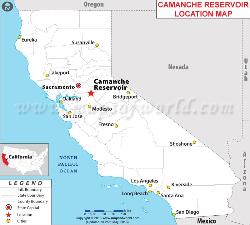
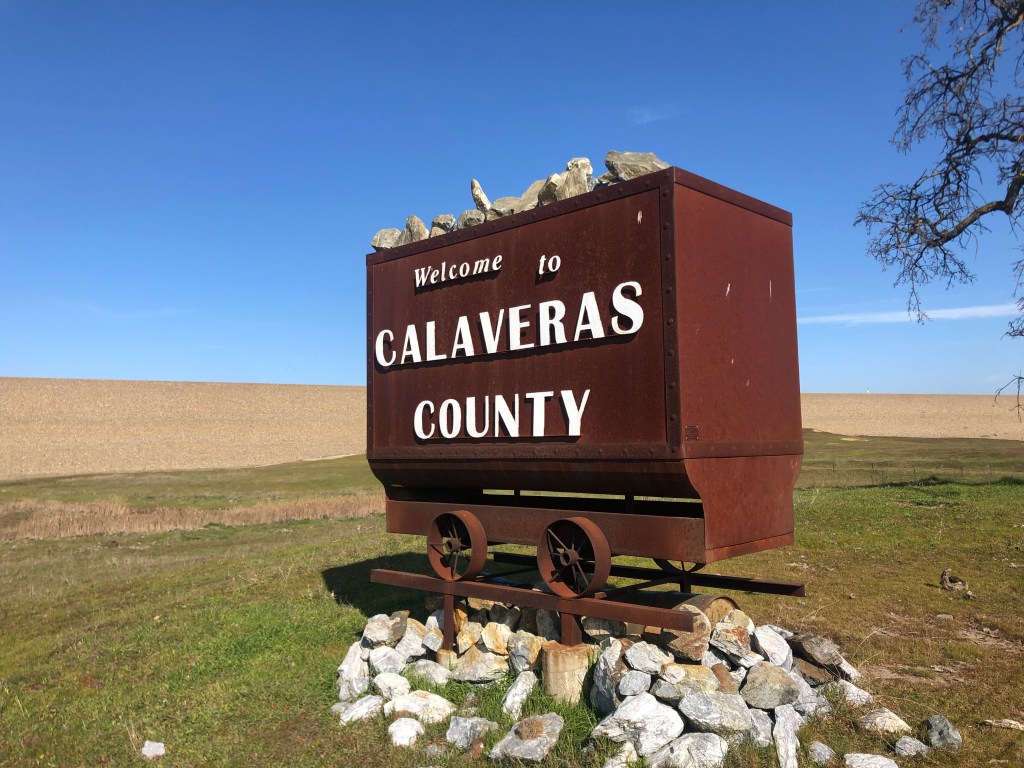
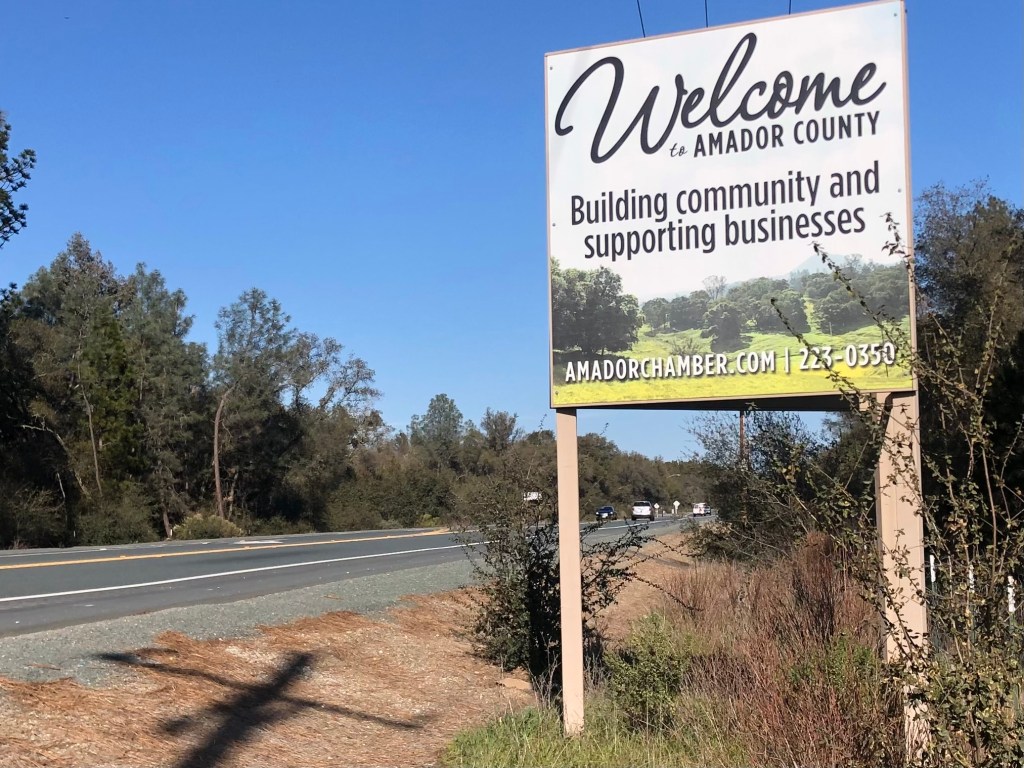
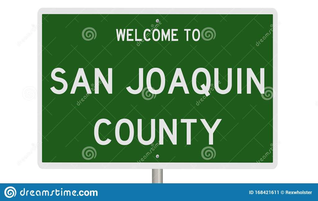
Thus I found myself heading south from my newish stomping grounds near Placerville, down to an area where Amador, San Joaquin, and Calaveras Counties meet. (Most of the trip followed Route 49, which I described in a recent blog post.)
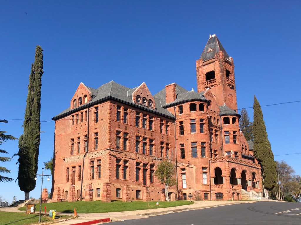
As I got close to Lake Camanche, I passed through the town of Ione (pop: 8,600). It’s a historic, quaint, and reasonably prosperous little community that no doubt will be the subject of a later blog. But for now, let’s just observe that Ione is home to the historic Preston Castle, which had been a reform school for boys that was built at the end of the 19th century. It’s said to be haunted, and for that it will likely be the subject of a blog in October.
When I finally arrived at Lake Camanche, I was somewhat disappointed. Let me enumerate the three reasons for my disappointment:
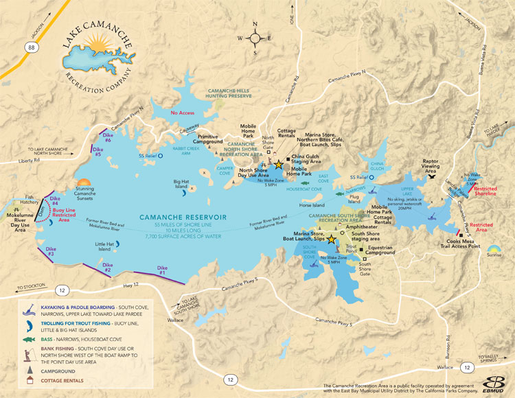
- There is limited public access to the lake itself. You can pay day use fees to enter at the boat launch, but I couldn’t find any shoreline drive to cruise along. I guess I should have brought a boat.
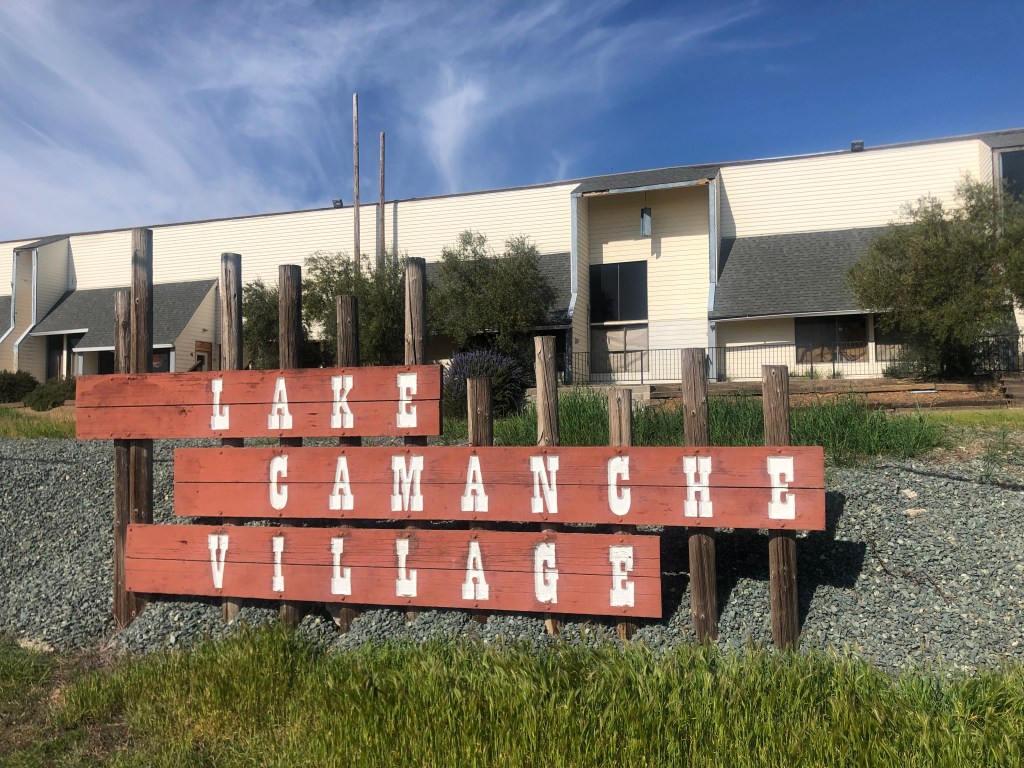
- The communities around the lake never seem to have properly taken root. I saw no evidence of viable commercial districts, neighborhood parks, or even a decent brewpub. What little infrastructure I encountered was abandoned and/or decrepit.
3. Although recent news items spoke of how California’s drought has exposed ruins that normally reside under water, major rains this past December re-covered those historic remains and I was unable to find any evidence of those three historic towns under Lake Camanche.
Incidentally, although Lancha Plana had no population when the reservoir was being developed, it did have a cemetery. East Bay MUD decided to move the graves to another location…as if somehow, after over a hundred years, it would be cruel to put a lake over the cemetery. But such are the expectations of civilized society. Let’s just hope they learned the lesson of Poltergeist.
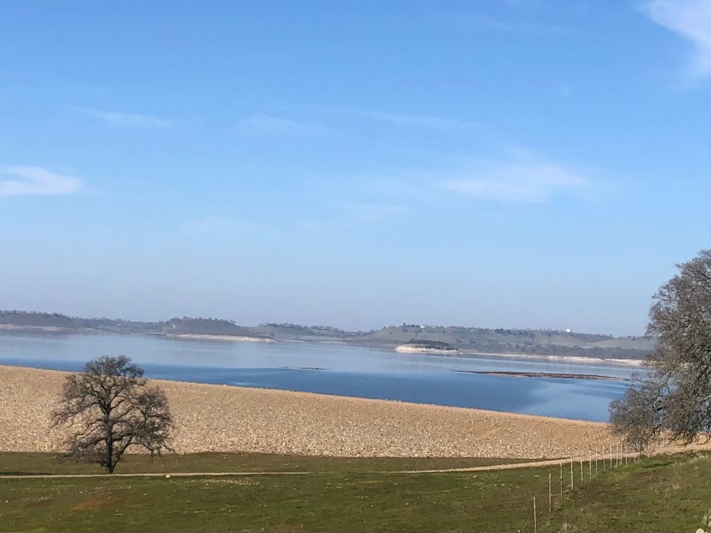
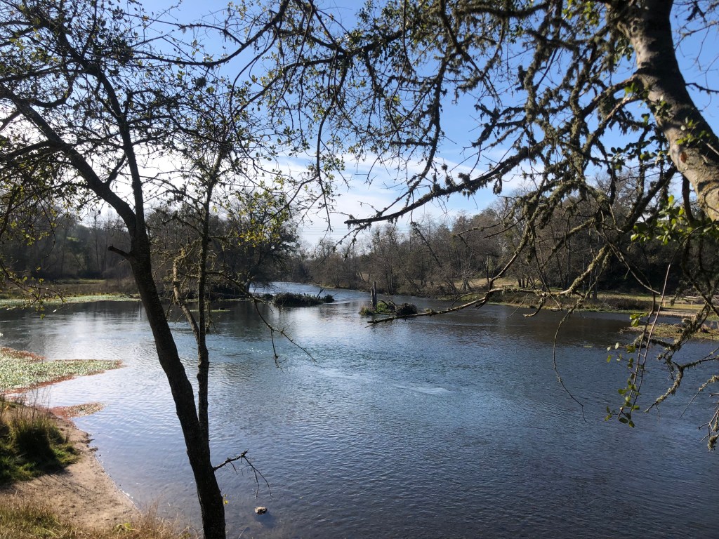
Still, even without encountering drought-exposed ruins, the visit was a good one. I took a pleasant drive more or less around the lake, with glimpses of the blue water and, more often, views of the surrounding hills. Eventually I came to Camanche Dam, which stops the Mokelumne River in its tracks.
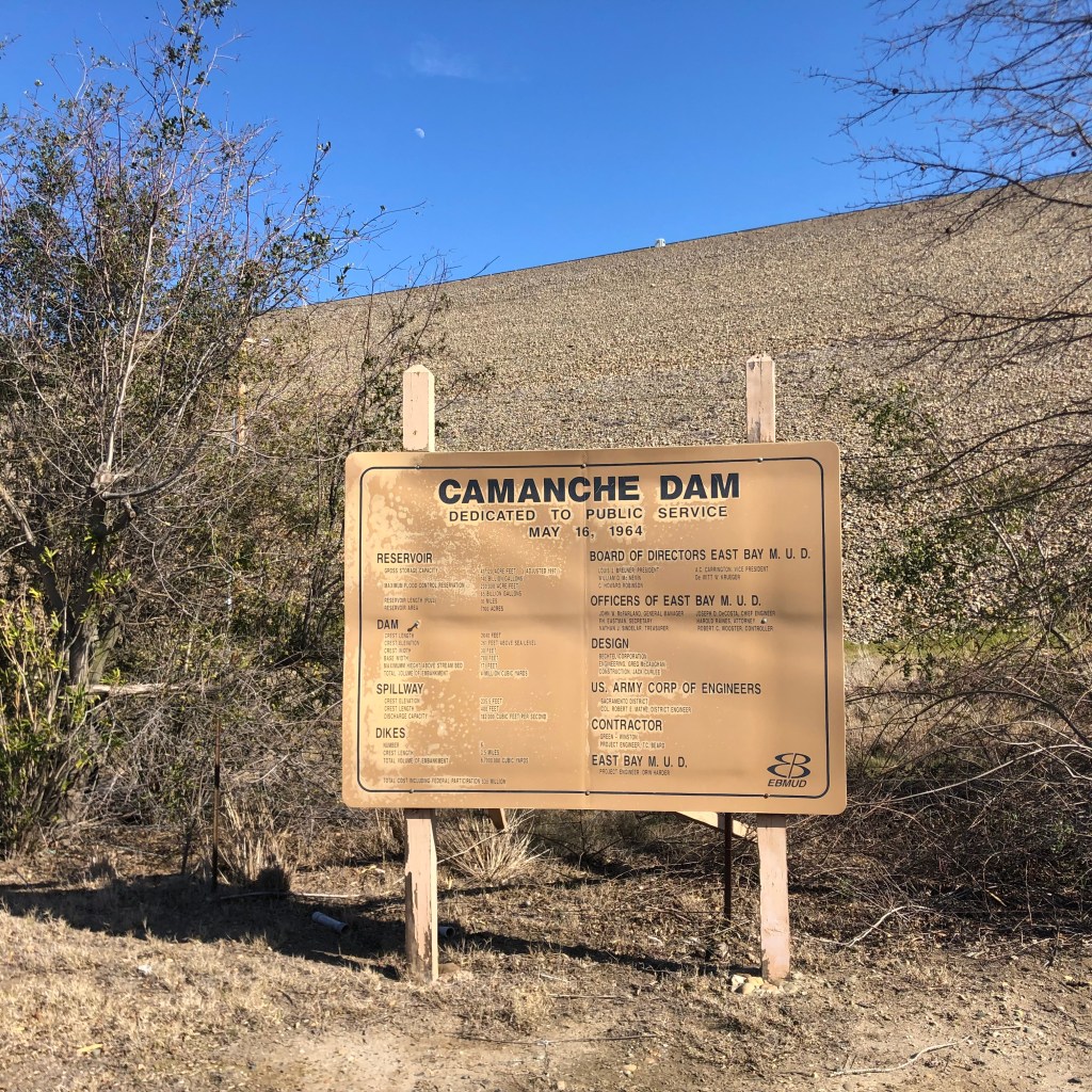
A few stats about the dam, which was constructed in 1964: it’s 2640 feet long and 261 feet high, holding back up to 241 billion gallons of water. For those of you who can’t wrap your head around that number, it equates to about 107 billion cases of beer.
Here’s the placid Mokelumne River shortly after it passes through the dam.
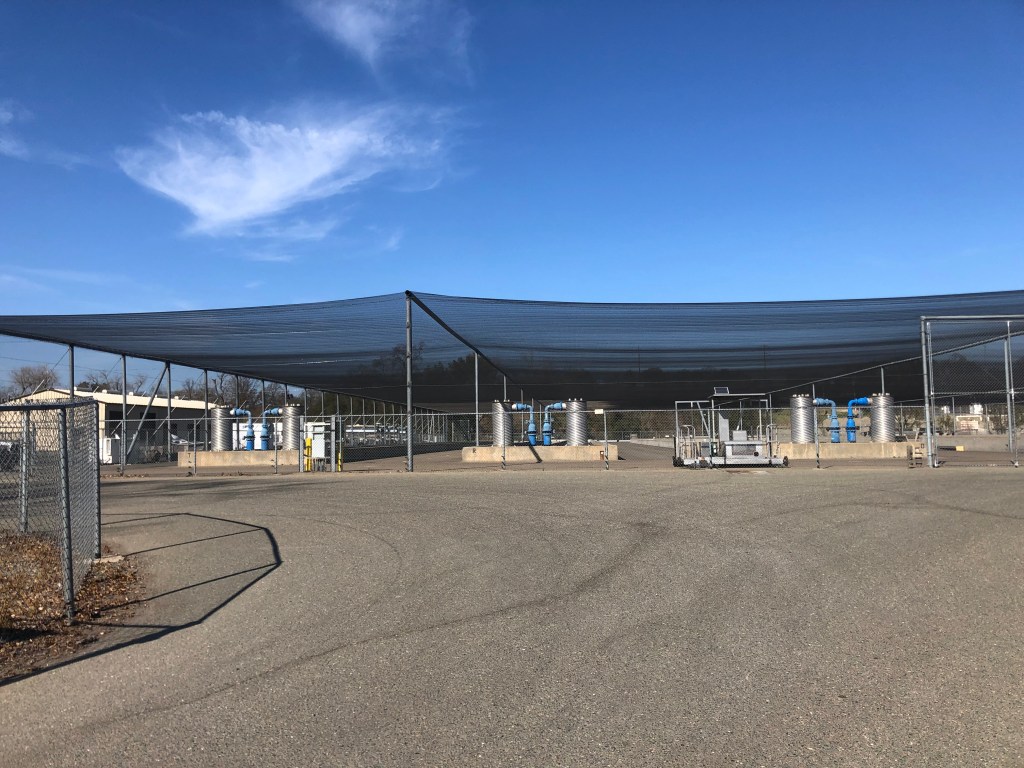
Near the reservoir there’s also a fish hatchery, which is used to restore Chinook salmon and steelhead whose kinky sex lives were impeded by the dam. Sadly, the facility is now “temporarily closed” to visitors.

Well, that’s kind of it. Without a watercraft or scuba gear, there isn’t a whole lot to do around Lake Camanche. With a final glance at a few anglers attempting to hook, kill, and presumably devour some of the recent graduates from the fish hatchery, I got back on the Speedmaster and headed for home.

Thanks, Steve!
LikeLike
Steve:
Another cool blog, thanks! This spring weather must be perfect for riding in the Mother Lode and exploring.
Here’s a fun fact… there once was a rail siding on the Yosemite Valley Railroad called “Detwiler” which was subsequently flooded by Lake McClure, a project of the Merced Irrigation District. Exchequer Dam (mid-1920s) created Lake McClure and New Exchequer Dam (mid-1960s) raised the Lake’s water level.
When our older son Stephen (now 44) was in junior high, he had to pick a research topic and write a paper. Infatuated with railroads (this was about 2 years before he met Beth – – – his high school girlfriend and now wife), he found the name “Detwiler” on a map of the Yosemite Valley RR. His diligent research caused us to drive up to Mariposa County one Sunday afternoon to find “Detwiler Road.” GoogleMaps will show you Detwiler Road. It’s off Hunters Valley Road, kind of west of Bagby on Highway 49. We drove to the end of the road, hopped a gate, and then walked down to the lakeshore. It was one of those drought years when abandoned properties were reappearing. He found some concrete pilings, scrap iron, and a few rail spikes. Fortunately no rattlesnakes or skeletons! I think he got an “A” on his paper!
Thanks for making me think of that fun discovery! Peace and all good. – Peter
>
LikeLike
That is a great story. He deserved an A for effort, at the very least.
Skeletons would have been a bonus, though.
The closest I’ve found to a Boilard road is “Bailard Road” in Malibu. Knowing my family, there’s no way we ever had anything to do with Malibu, so I won’t pursue it further…
LikeLike