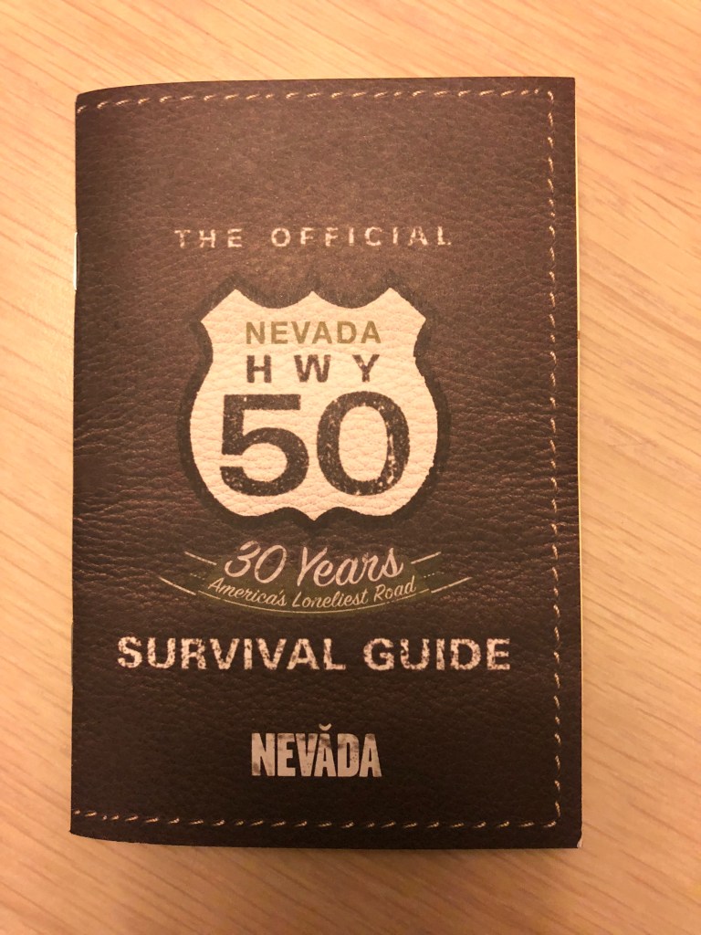
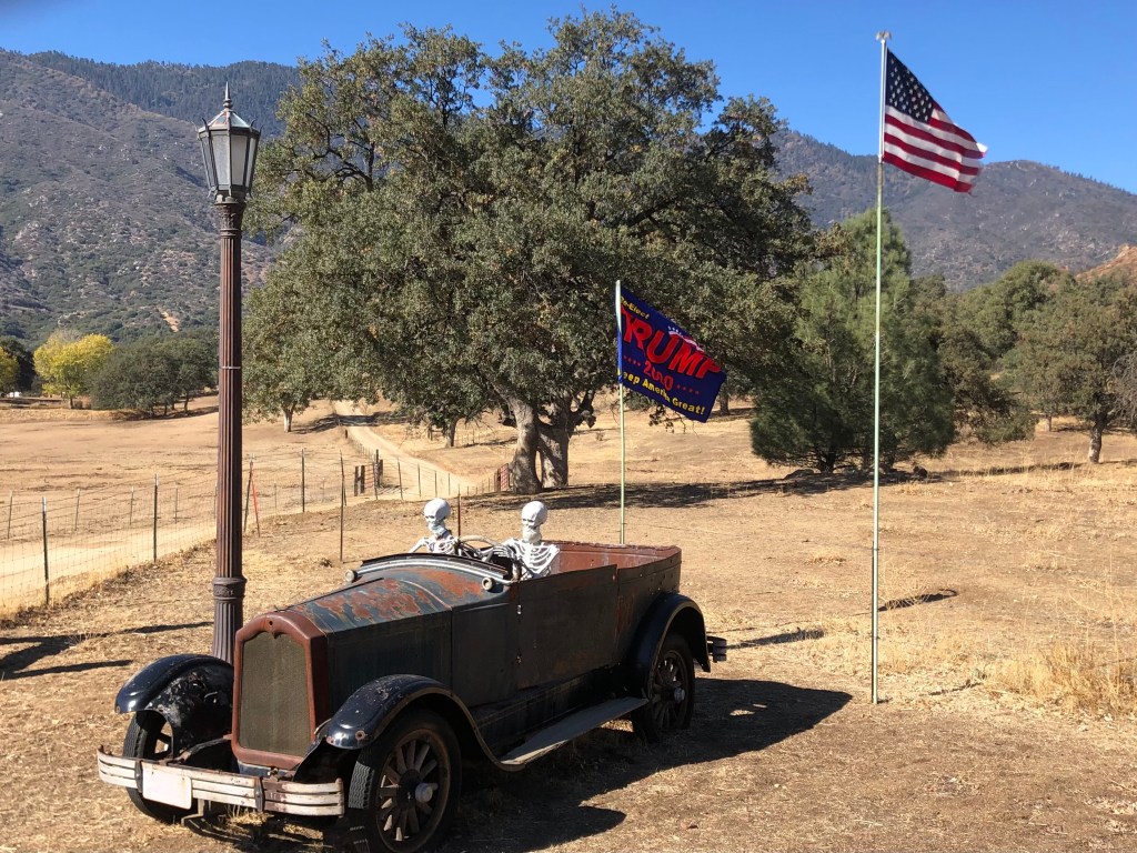
Editor’s note: Given limited travel opportunities these days, I decided each Thursday to post travel stories I’d written prior to starting this blog. The following is from a cross-country trip I made along the length of US 50 in the spring of 2018. I hope you might vicariously enjoy this trip while we’re all hunkering down at home. Because this is a longer trip (a week and a half), I’m going to post each of the daily entries over each of the next 10 days.
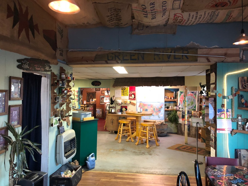
I set out this morning around 6:30 am. I stopped at the Green River Coffee Company (in Green River, Utah), which was just half a mile from my motel. The place was empty, but I heard someone rustling in the back kitchen. Eventually a lanky woman in her early 30s emerged, looking very much like a hippie from 1969. She was cheerful, and said “If you want coffee or breakfast” [why else would I have come there??] “you’ll have to wait a few minutes while my equipment wakes up.” I assured her I was in no hurry, and observed that it was indeed still early. “I must be your first customer” I astutely noted. The woman, whose name turned out to be Becky, explained to me that the place doesn’t actually open until 7, but she gets in at 6:30 to “wake up” her equipment. “I used to get here at 5:30, in order to do my online homework using the shop’s wifi. But now I can get internet service on my phone, so I do my homework in the morning before I leave.” It turns out she’s taking an online program through Oxford (supposedly the Oxford) in English literature. And she’s going to take an in-person class in England next summer. “I’m hoping to move there permanently.” I asked what would happen to the Green River Coffee Company. Does she own it? “No, I’m just the Coffee Wench.” Thanks for the coffee. Gotta go…
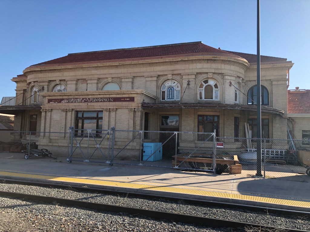
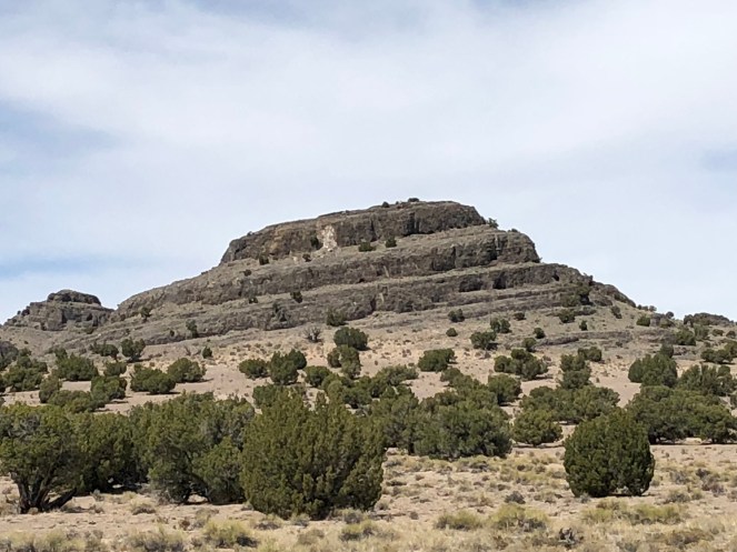
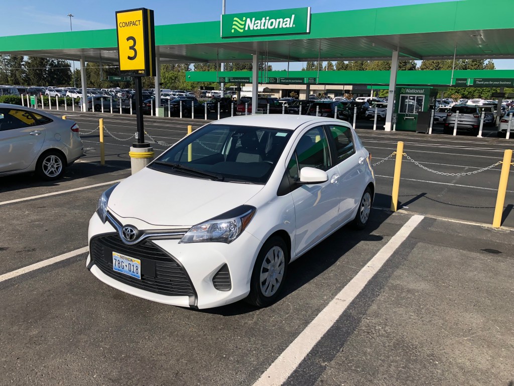
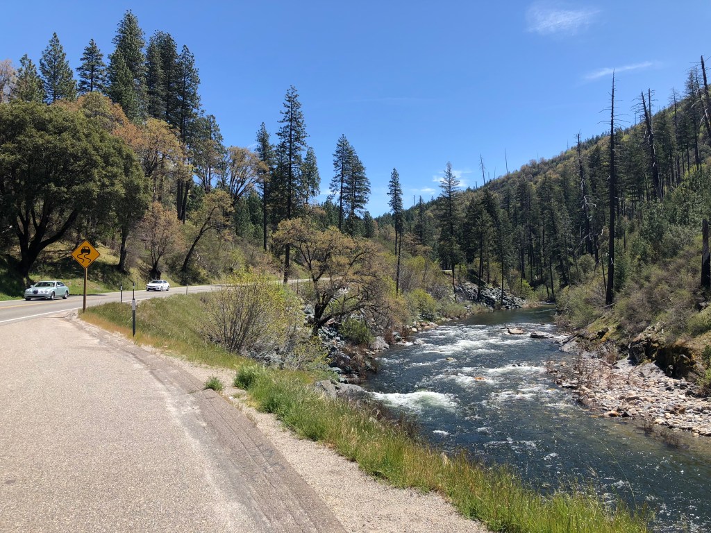
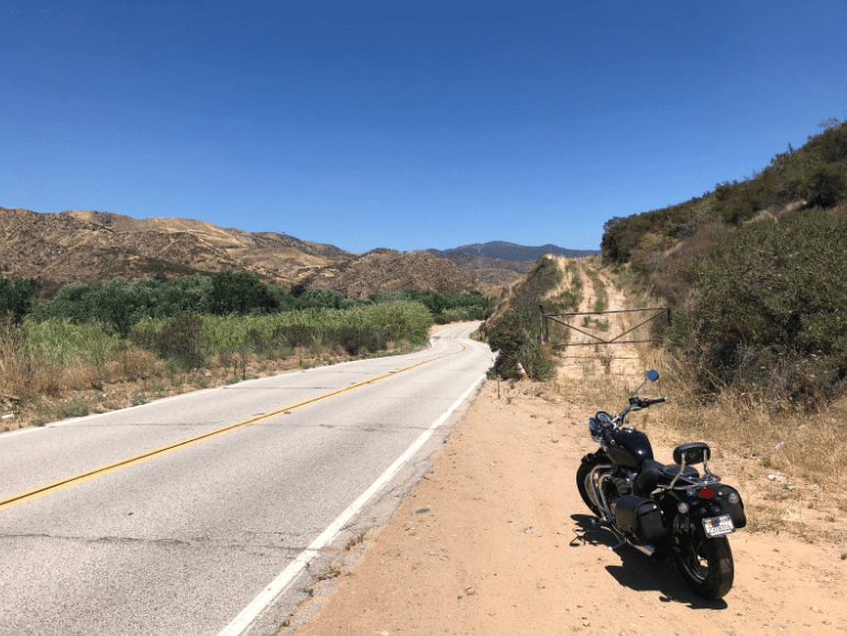
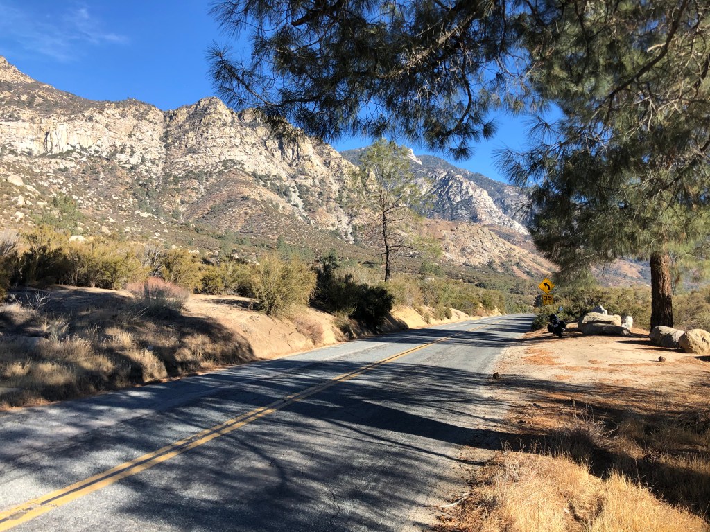
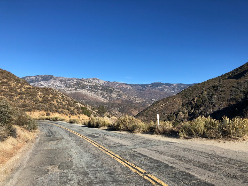
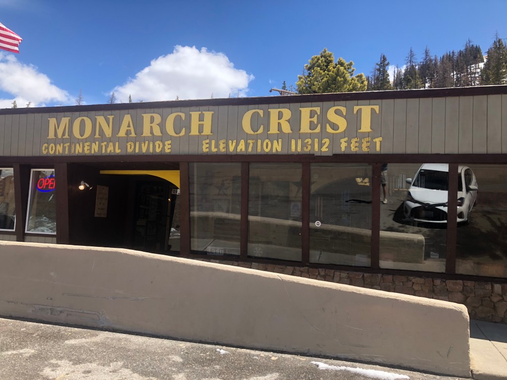
US 50 is still part of I-70 heading east out of Green River, so the drive to the Colorado border was pretty fast and uneventful. Shortly after entering Colorado, I came to Grand Junction, where 50 once again breaks off from I-70. I was back on the familiar, undivided, quiet road that is US 50. It was like reuniting with an old friend. The road began twisting and climbing as I moved up into the Rockies, and I admit that there were moments when I questioned whether the Yaris was up to the task. I became especially nervous as I approached Monarch Pass (elevation: 11,312 feet) where there was even some snow on the ground. Somehow we managed to get over the hump, which, incidentally, is the Continental Divide. I know that doesn’t make the pass any harder to cross, but there’s something notable about crossing the Divide. It makes one feel like they’re leaving the West. Which I guess I was.
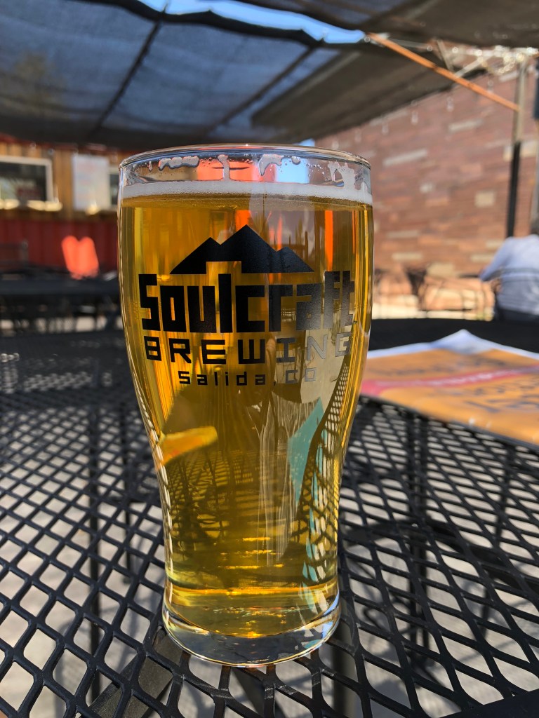
A short time later I came into the town of Salida (which the locals pronounce “suh-LIE-duh), and stopped at Soulcraft Brewing for a lunch stop. I had the Green Chile Ale, which was just the ticket on a warm day. I asked the bartender about food, and she directed me to the “food truck” outside next to the patio. This “food truck” is a “truck” the way that a mobile home is “mobile.” The food truck was really just a trailer, permanently built in place, and when I asked the gray-haired cook/owner about it she told me “this thing never moves. I don’t even have a truck that could move it.” I suspect Soulcraft is getting around some kind of restaurant license by calling this thing a “truck.” Anyway, the “truck” owner told me that this was now her restaurant — she used to own a regular brick and mortar restaurant in Denver, but then somehow she became the dean of a university. As one does. I asked her which university, and she muttered something about an online university. Somehow this didn’t quite pan out for her, so she recently quit the academic life and bought this “food truck.” I’ll say this much for her though: She makes a delicious homemade pasta dish. I had it with my beer, sitting on the patio in the sunshine. You really can’t beat that.
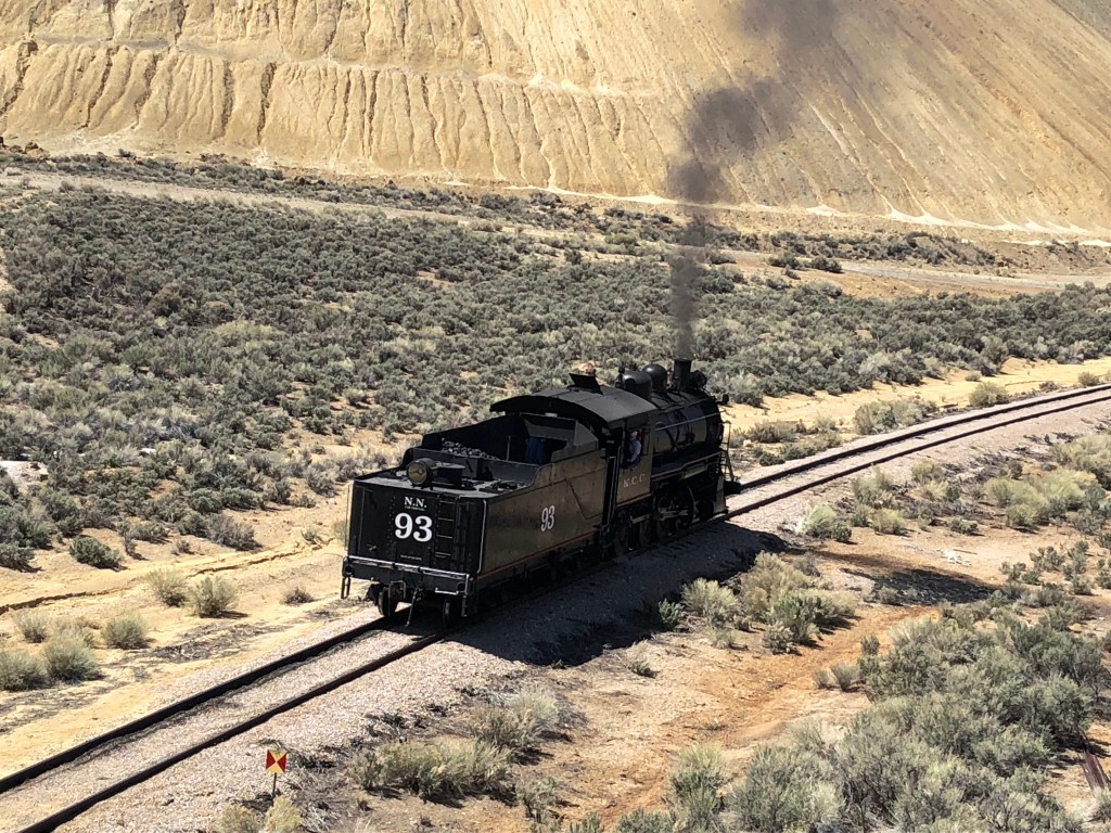
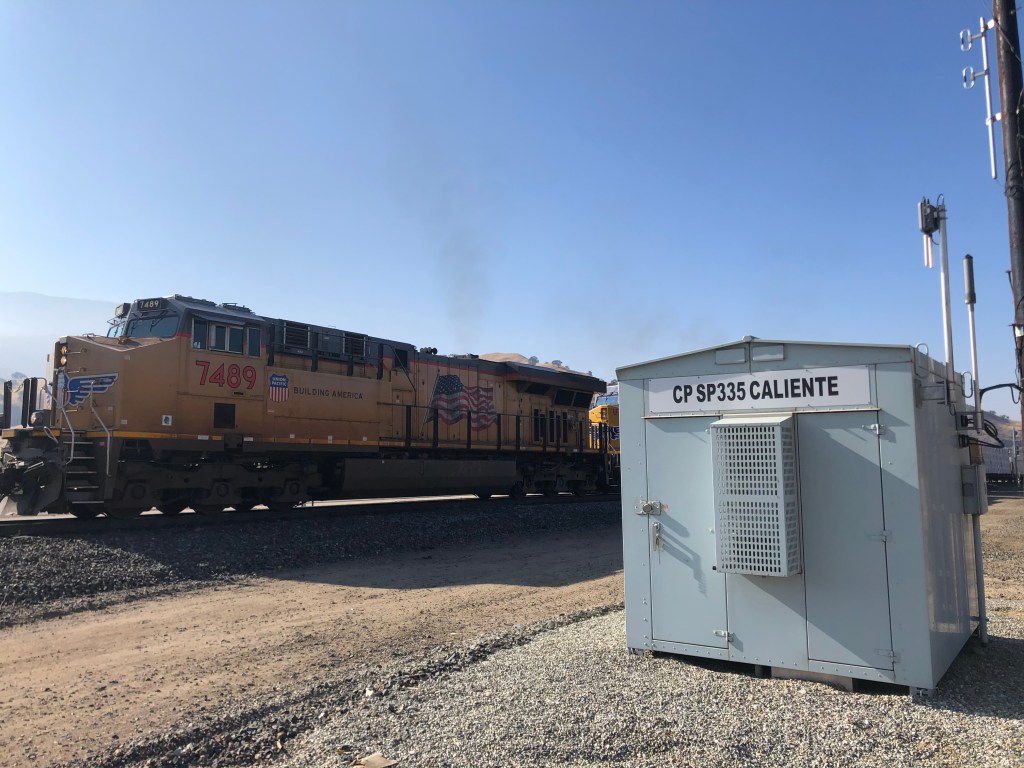
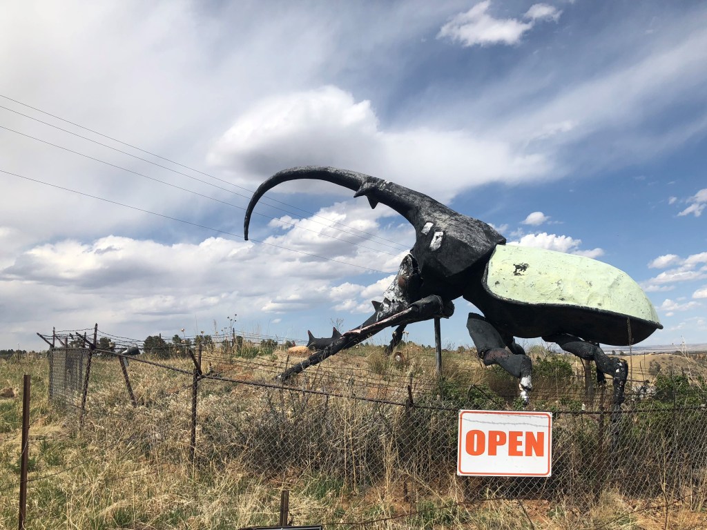
I got back onto US 50, with the Arkansas River and a small railroad line stretching along on my right. It was a very pretty and pleasant drive. Now, for the most part, this trip has not been about tacky, kitchy tourist attractions. Admittedly, I’ve made that the focus of some prior trips with Ian, such as our Route 66 trip. But this US 50 trip is meant to experience a more authentic part of America. I did slip once today, though, when I saw this giant beetle beckoning me to an insect museum. How could I say no??
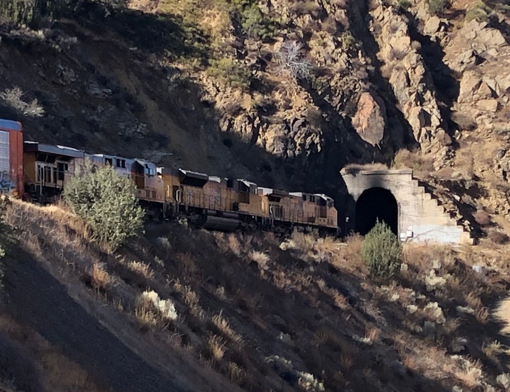
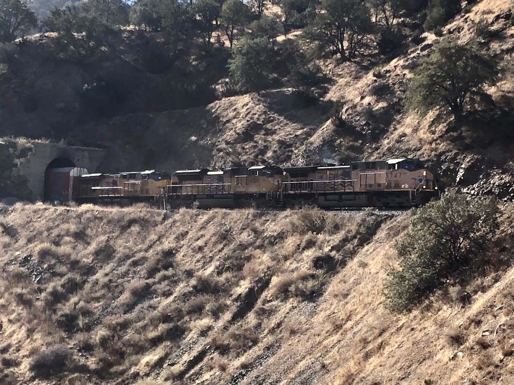
In the mid-afternoon I hit Pueblo, Colorado, which marks the end of my US 50 journey for today. Upon arriving in Pueblo, I took a 2-hour detour up the interstate to see my old friend Detlef Kurpanek (yes, that’s his real name). Detlef and I were friends in middle school and high school, back in the 1970s. We both had an interest in trains, each had a model railroad, and we’d ride our bikes 10 miles to San Jose to watch the commuter trains come in from San Francisco. Detlef has been living with his wife Nancy in Aurora, CO for a couple of decades now. I’m staying at his house tonight, and I’ll return to US 50 tomorrow afternoon. I’m planning to make to the middle of Kansas tomorrow.