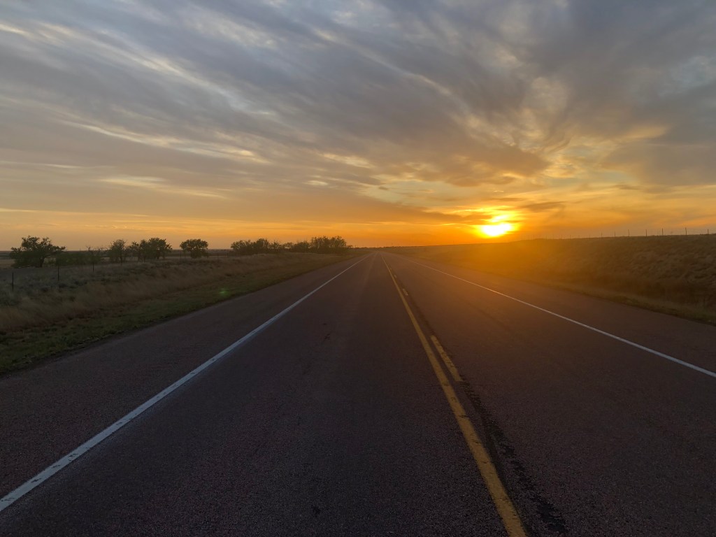
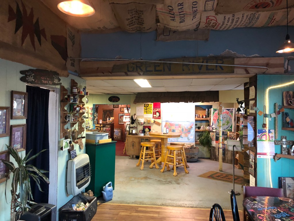
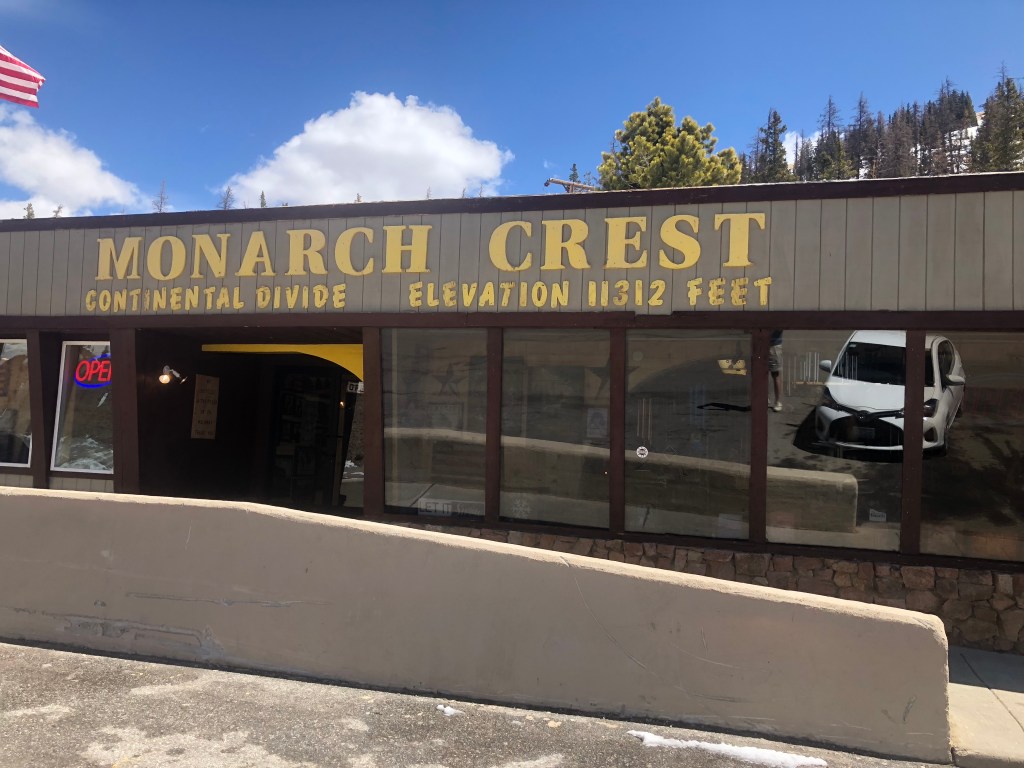
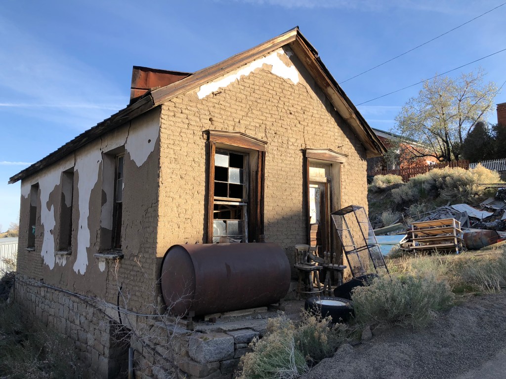
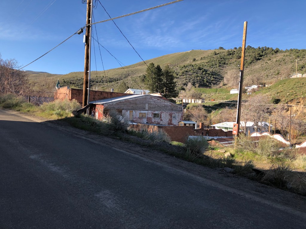
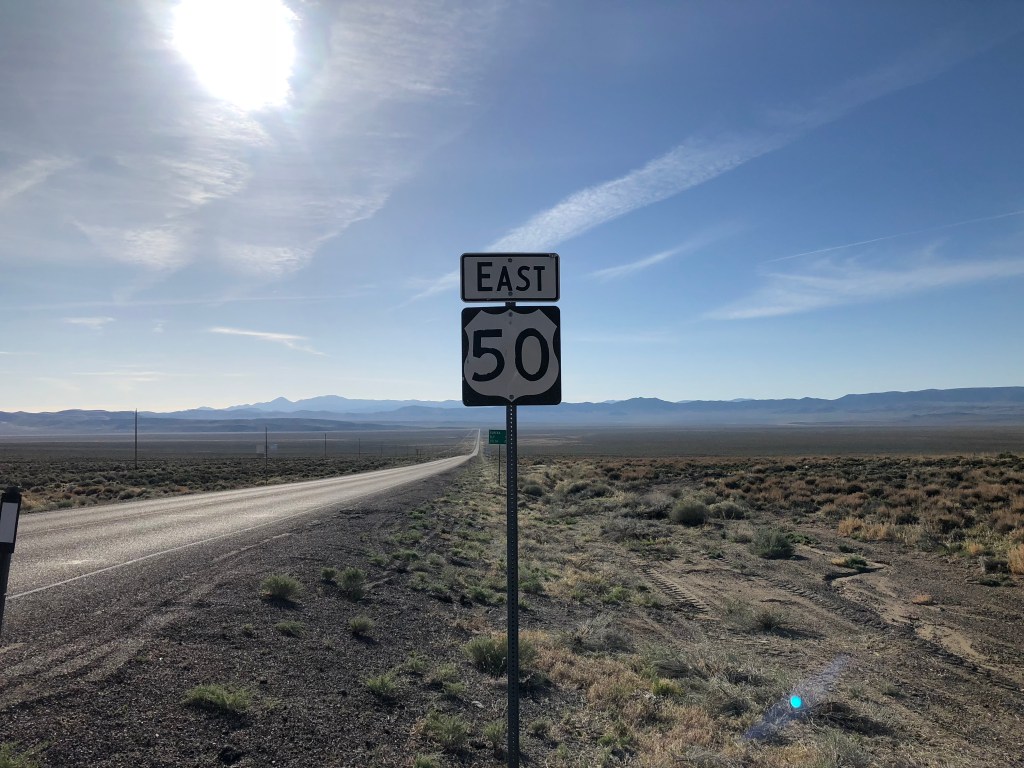
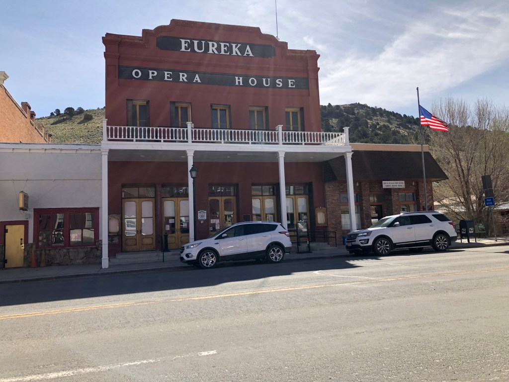
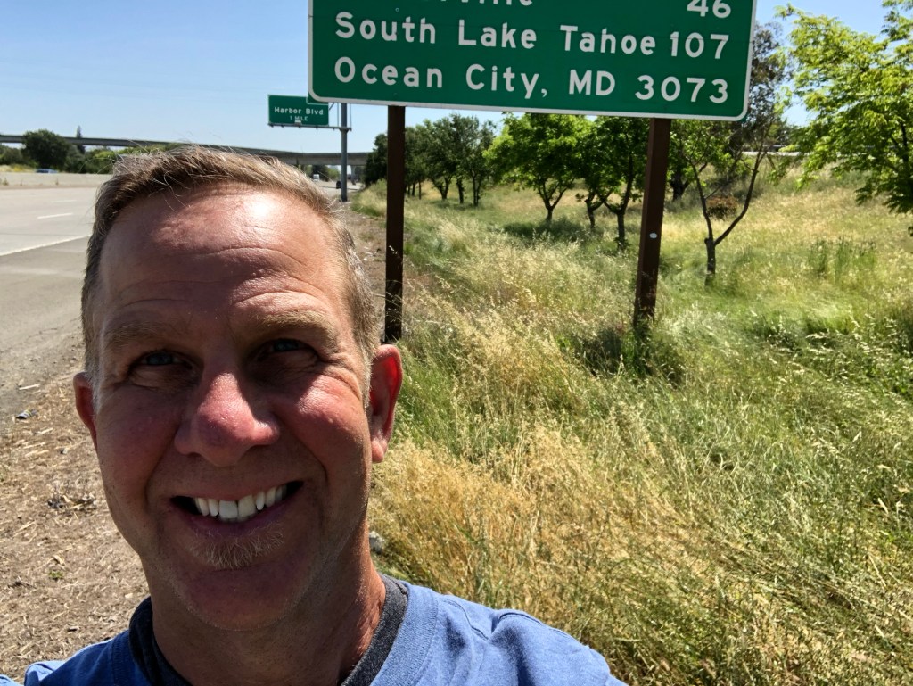
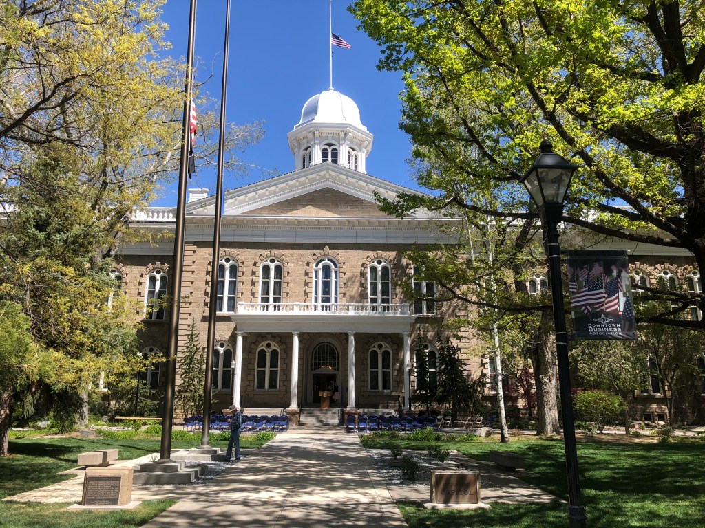
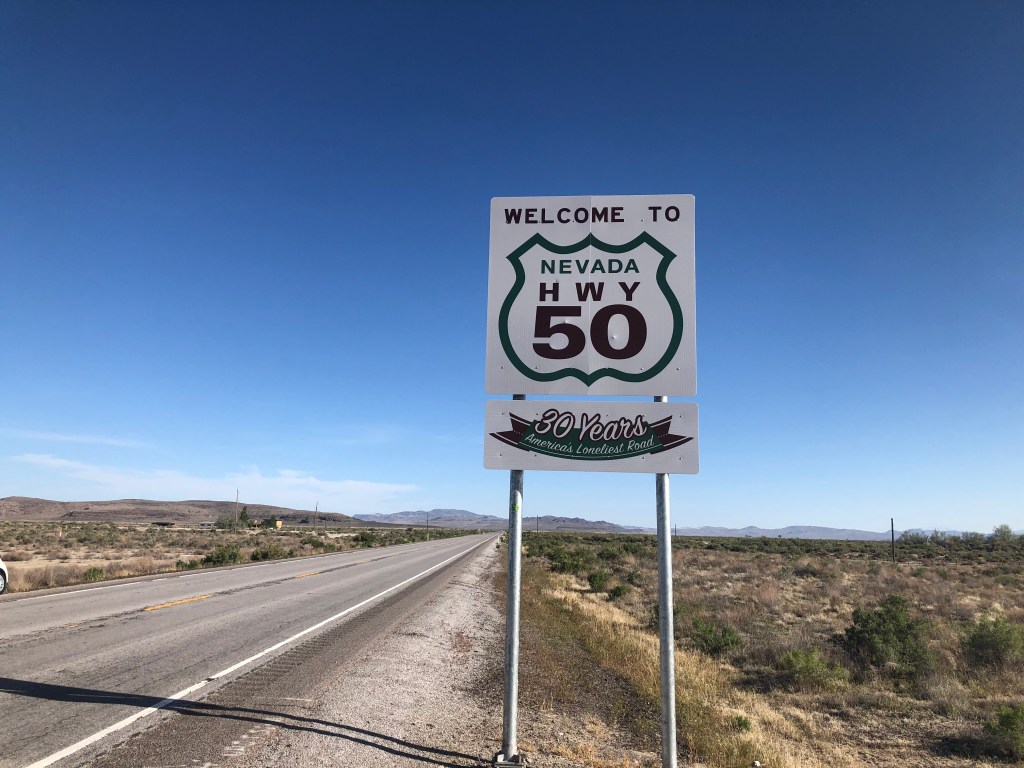
Editor’s note: Given limited travel opportunities these days, I decided each Thursday to post travel stories I’d written prior to starting this blog. The following is from a cross-country trip I made along the length of US 50 in the spring of 2018. I hope you might vicariously enjoy this trip while we’re all hunkering down at home. Because this is a longer trip (a week and a half), I’m going to post each of the daily entries over each of the next 10 days.
Here’s a picture of the first grain elevator I saw this morning, heading east out of Larkin, KS:

And here’s a picture of the second grain elevator I saw:

Now, multiply those pictures by 100, and you get a sense of the scenery along US 50 through Kansas. Seriously. It’s flat, with lots of open space and no trees, and periodic, looming grain elevators. I suppose there’s some kind of charm to the monotony. But monotonous it was.
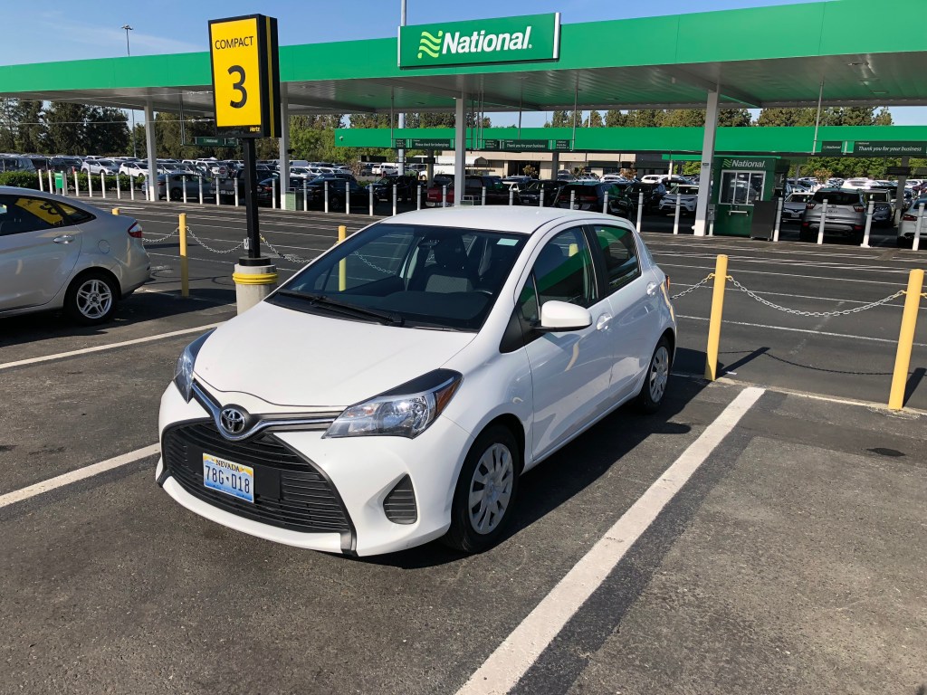
Breakfast was at Richie’s Café in Cimmaron. I was craving a good cup of strong, fresh-brewed, artisan coffee, a toasted bagel and cream cheese, and some good juice. The outside of the place didn’t look promising, but it was the only game in town. I entered the double doors, and found myself in a small, dark anteroom with another set of double doors. These I opened, and stepped into a large, windowless auditorium with ancient wood flooring. It looked like the place where the Peanuts put on their Christmas pageant in “A Charlie Brown Christmas.” In the middle of the room were rows of long tables surrounded by folding chairs. A group of about eight people, all of retirement age and none with a healthy body mass index, where chatting over coffee and a couple of empty plates. They evidently had been there awhile. The waitress (if that’s the correct term) brought me a menu, which I searched in vain for my artisan coffee and bagel and juice. I had to settle for a greasy breakfast taco. I was back in the Yaris and on the road within 10 minutes.
I suppose it’s fair to say that there wasn’t a lot notable about Kansas. I was looking forward to Dodge City (pop: 27,000), which is on my route, but just about all traces of the old west there are contained in museums or reconstructed facsimiles. It felt too touristy for this trip. I did stop at a grocery store in the town of Meridian (pop: 813). You haven’t truly heard laughter until you’ve asked a Kansan if they have Naked Juice.
Oh, I also made a stop to check out an old 19th century stone arch bridge in the town of Clements (pop: 0). The bridge crosses the Cottonwood River in an idyllic setting. I think I may have walked through poison ivy to take the photo, so I hope you appreciate it!

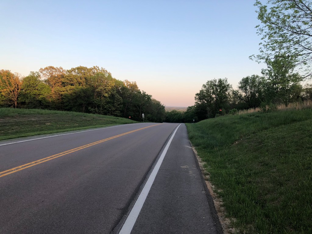
So, that’s about it for Kansas. After I got to Emporia, US 50 again merged with an Interstate (I-35), which sped me toward Kansas City. Soon I was in Missouri. Once I left behind the congestion of KC, the drive became quite pleasant. Missouri is a greener, hillier state than Kansas.
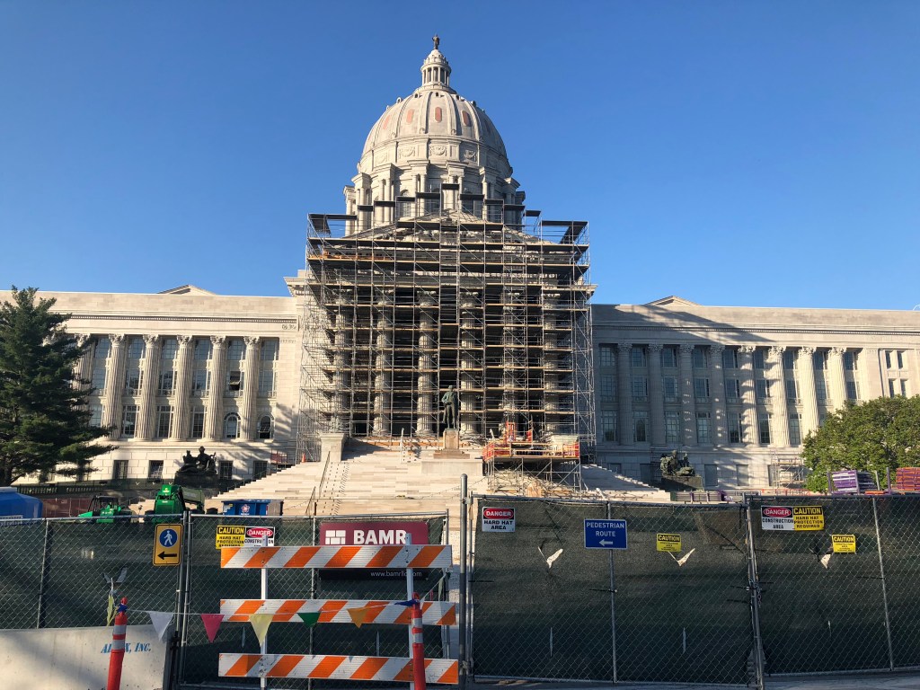
I stopped in Jefferson City at the state Capitol, which was unfortunately being renovated. It appears to be much larger than California’s Capitol. It strikes me that US 50 goes through four state capitals as well as the country’s capital. That seems to be a testament to how important the road was when it was originally designated.
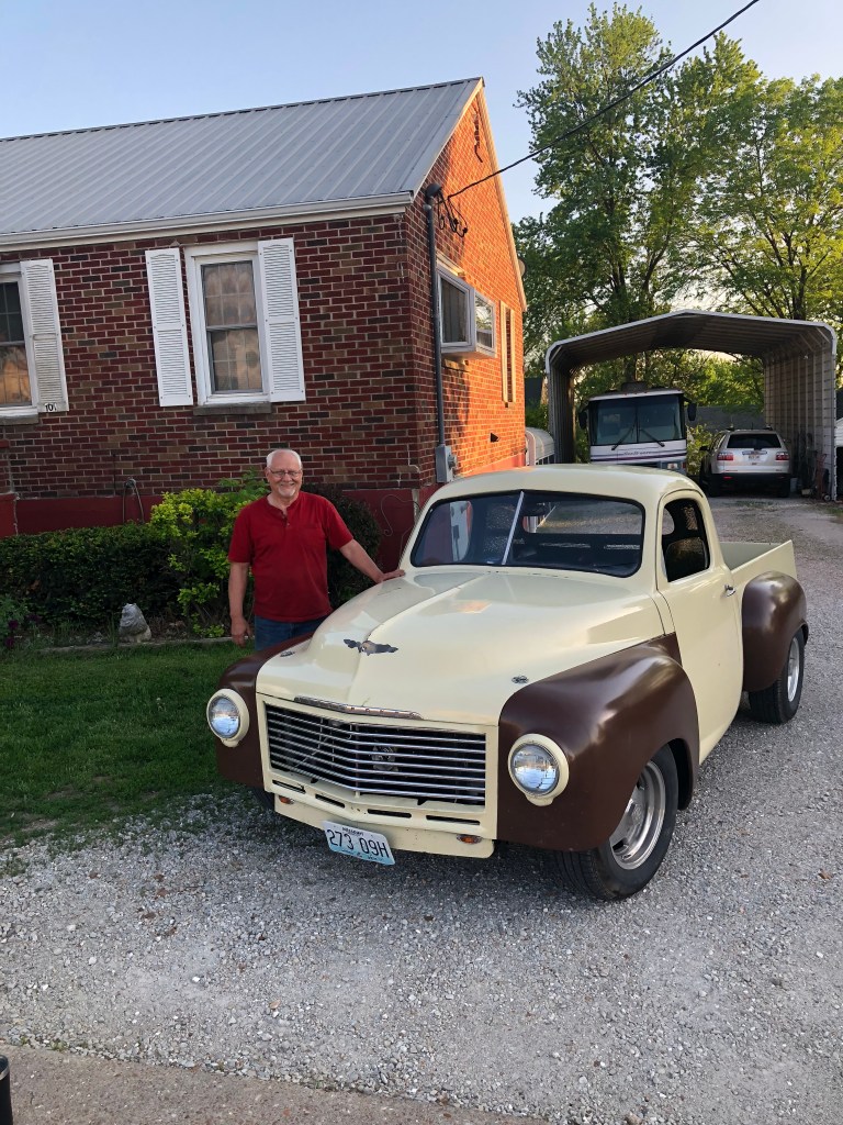
I was enjoying the drive when, out of the corner of my eye, I saw a Studebaker truck parked in a driveway. I stopped on the side of the road, and asked the two old guys sitting on the front porch of a tidy brick home whether they owned the truck. One of them (whose name turned out to be Roy) claimed ownership, and came down from his porch to show it off, opening the hood to reveal the small-block Chevy engine he had dropped into it. He had bought the truck about three years ago, and as he used to teach body work at the local technical school, he had no problem fixing up the truck. Roy retired 11 years ago, and when he isn’t working on his Studebaker, he’s sitting on his front porch with his friend Dean “counting cars as they pass.”
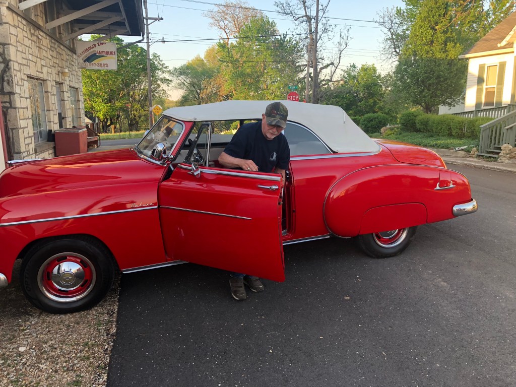
Dean lives across the street, and after I had praised Roy’s Studebaker, Dean insisted that we go over to his place to check out his 1950 Chevy convertible. We walked over, and Dean pulled the car out of the enormous, warehouse-like garage so that I could see it in the sunlight. It was a beauty. He then invited me into the garage to see his other cars (3 or 4 of them, including a Mustang convertible).
After thanking Roy and Dean for the tour, I got back in the Yaris with a bit of embarrassment, and made the final leg of today’s trip, to Union, MO (just west of St. Louis).