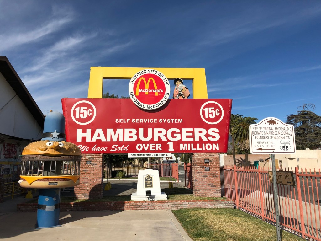
Editor’s note: Given limited travel opportunities these days, I decided each Thursday to post travel stories I’d written prior to starting this blog. The following is from July 2019. I hope you might vicariously enjoy this trip while we’re all hunkering down at home.
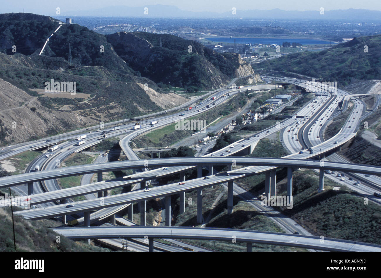
There are decided trade-offs to living in the LA area. On the debit side are gridlocked freeways, high taxes, homeless encampments, and monotonous suburbs. These are balanced out by thePacific Ocean, great weather most of the year, a vibrant music and arts scene, and close proximity (at least in terms of mileage, if not time) to some amazing mountain scenery.
Straddling between the good and the bad is a fascinating social and industrial history, and the bold, even arrogant physical infrastructure that goes with it. And that was the focus of today’s travels.
I was inspired by a book I’m reading about William Mulholland and his efforts in the early 20th century to bring water into the fast-emerging metropolis of Los Angeles. As I read the early chapters about the 230-mile aqueduct Mulholland built to transport water from the Owens River (in the Sierras) to Los Angeles, I decided it was worth a trip to see at least the southern portions of this project in the flesh (as it were). There are three sites in particular that are within a day’s round-trip travel. So this morning I saddled up the trusty Triumph and set out north on I-405.
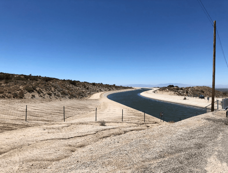
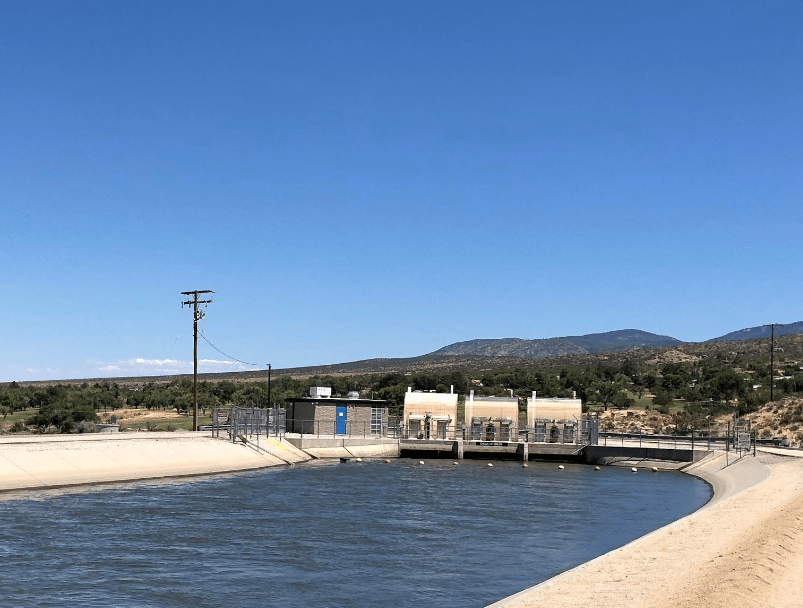
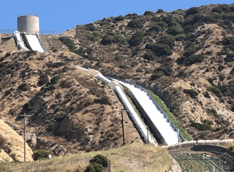
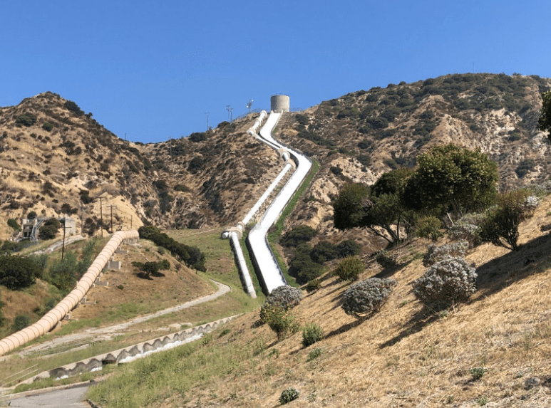
I was in Santa Clarita (otherwise known as Magic Mountain) within an hour, and shortly after exiting the freeway I came upon the first site: the Cascades. This is essentially the southern terminus of Mulholland’s aqueduct. It was completed on November 5, 1913, when 40,000 souls congregated to watch the first gush of water come through the gates. Today, more than a century later, it’s still going strong. (In 1970 a second aqueduct was added, and both of them terminate here at the Cascades.) It’s simply a damn impressive sight. And the water makes the entire 230-mile trip solely by gravity. Here are a few pictures I took today:
You really have to check out the vido I took as well. It’s only about 10 seconds long:
There’s something mesmerizing about watching hundreds of cubic feet of water per second crashing along the sides of a cement canal as it tumbles down to enter the city water supply and be used to wash down the floors of barns. At least, that’s what my wife does with it…
Truth be told, the diversion of the water from the Owens Valley was very controversial, even 100 years ago. In fact, local farmers and others disrupted the pipeline with explosives and other tools of the sabotaging trade. But now, with 10 million residents, Los Angeles simply could not exist without external water sources such as this one.
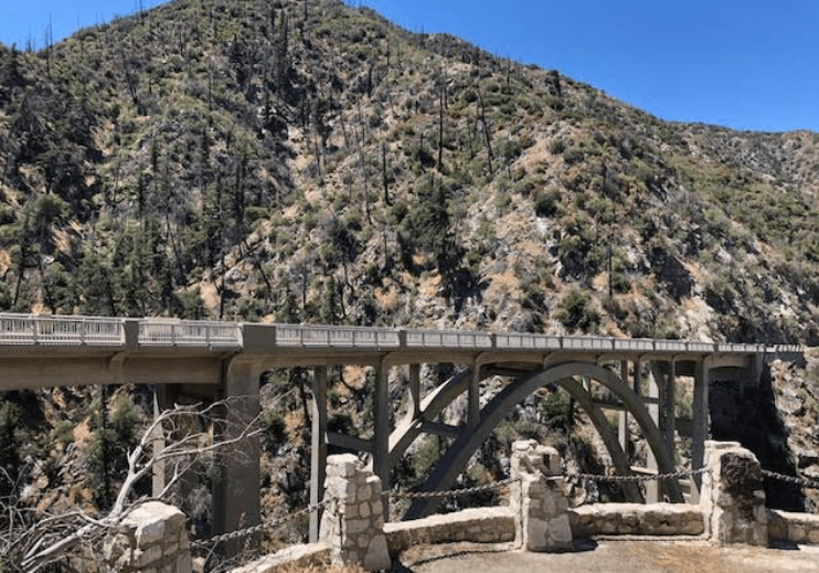
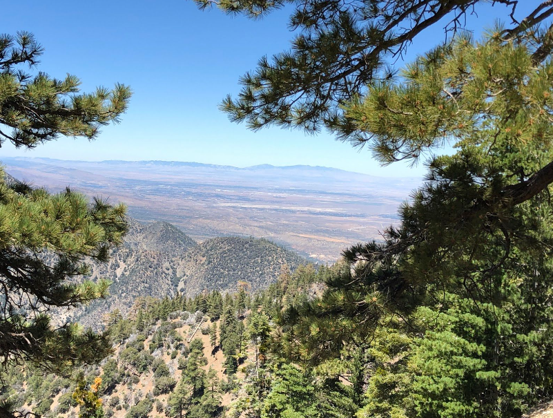
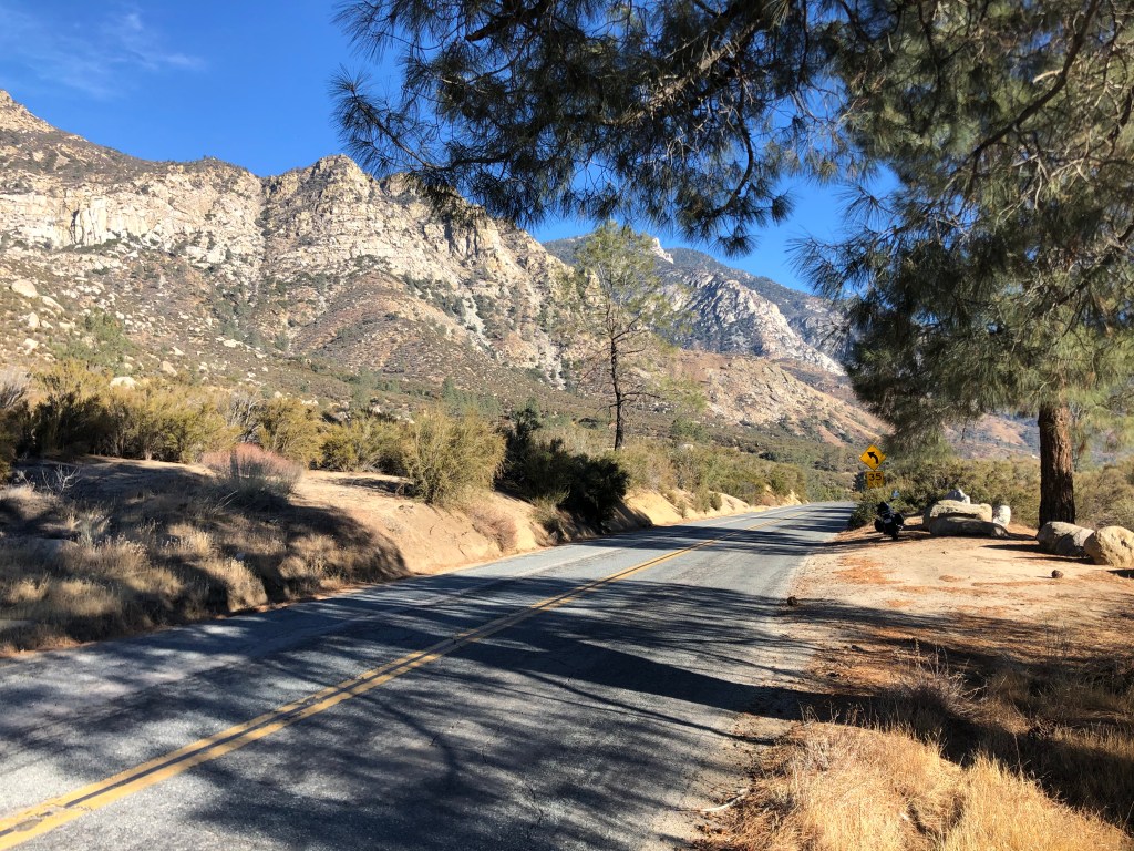
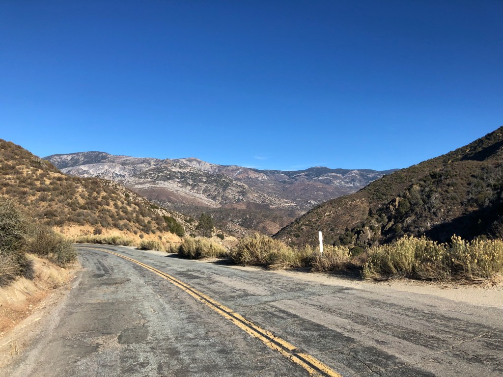
After meditating on the Cascades for a bit, I rode up into the Sierra Pelona Mountains, about 40 miles northwest of downtown Los Angeles. (See paragraph 1, above.) It’s a lonely road through arid country.
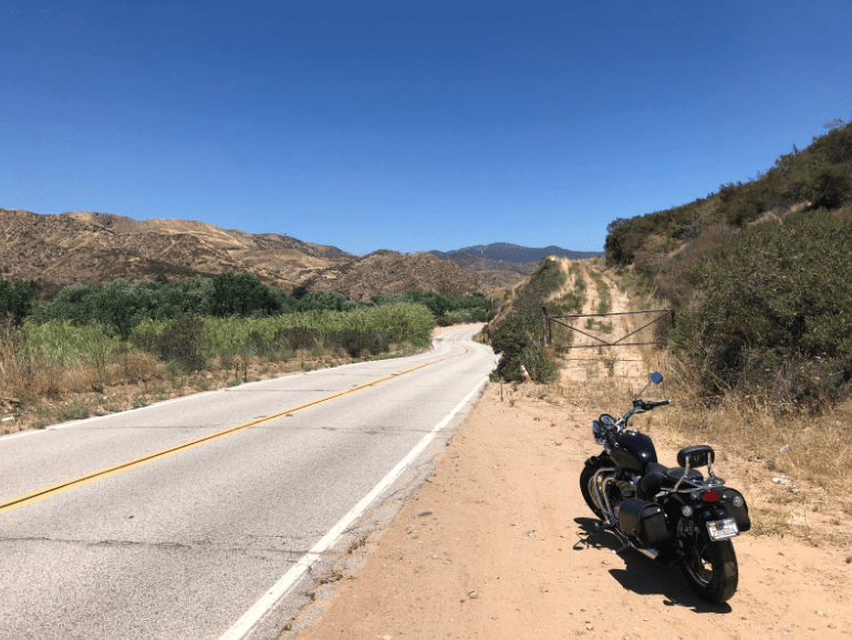
Still, it was an enjoyable ride, with warm weather (see paragraph 1) and blue skies. It felt far from Los Angeles. What a great way to spend a Thursday. Ain’t retirement great?
Eventually, after turning onto ever-smaller roads, I encountered Site # 2: This is one of the power houses that belongs to the LA Department of Water and Power. It’s fed by three penstocks that take their water from the aqueduct.
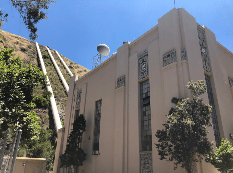
It’s a stately structure from the 1920s, built with that same art deco look that all utility providers seemed to share in those days. The building originally looked like this (below) when it was originally constructed in 1920. Note that there were only 2 penstocks at that time:
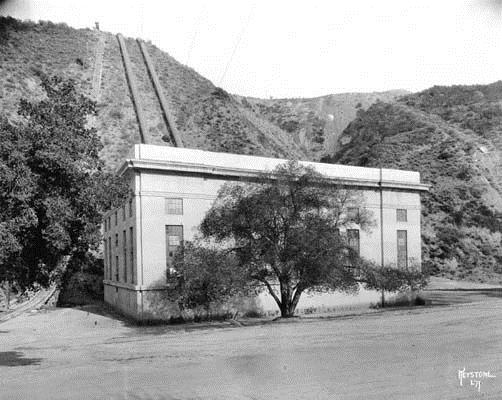
The building I saw today had been re-constructed in 1929, for reasons that are connected to the upcoming Site #3. But first, let’s go back to March 12, 1928, when another motorcycle rider was coming along this same road that I visited today. That motorcycle rider was Ace Hopewell (I’m not making that name up), and he passed the power station a little before midnight. He didn’t notice anything unusual, and continued up the road another mile or two, when he heard the loud sound of rocks rolling down a mountainside. He stopped, smoked a cigarette (as one does), and when the sound faded away, he hopped back on his motorcycle and continued on his way.
It turns out that what Ace heard was the failure of St. Francis Dam, which is just a mile and a half from the power station. The dam had been constructed two years earlier at Mulholland’s order, in order to provide backup water storage for Los Angeles. Water was diverted from the Los Angeles aqueduct to fill the new reservoir behind the dam, and it had reached capacity just a few months before Ace took his midnight ride. Meanwhile, the dam keeper had been noticing cracks and water seepage, but Mulholland assured him that those were normal for a dam of this size. Indeed, Mulholland had personally inspected the dam and declared it safe earlier that very day. And now, a few minutes before midnight, the dam catastrophically failed. A wall of water 120 feet high crashed through the canyon, wiping out buildings (including that poor power station), homes, ranches, and, further away, several towns. The floodwaters eventually emptied into the Pacific Ocean, some 50 miles away, around dawn the next morning. Almost 450 people would lose their lives, making this the second worst disaster to befall California (after the 1906 earthquake and fire).
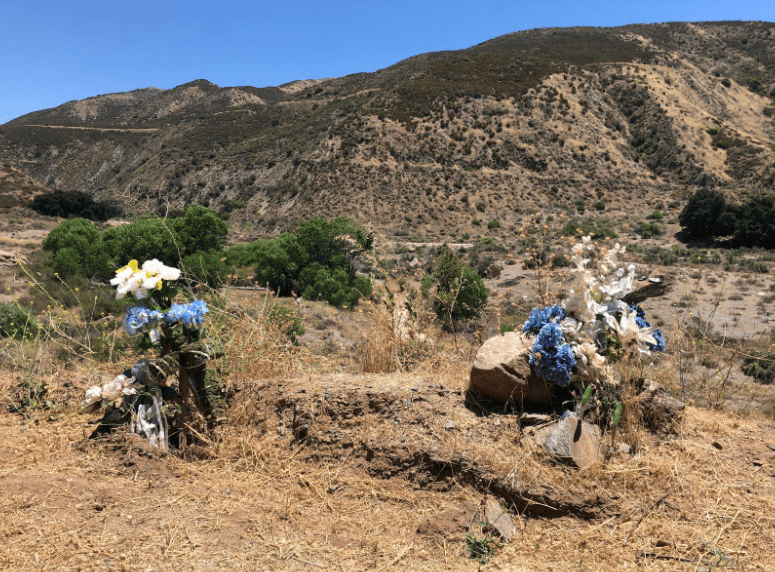
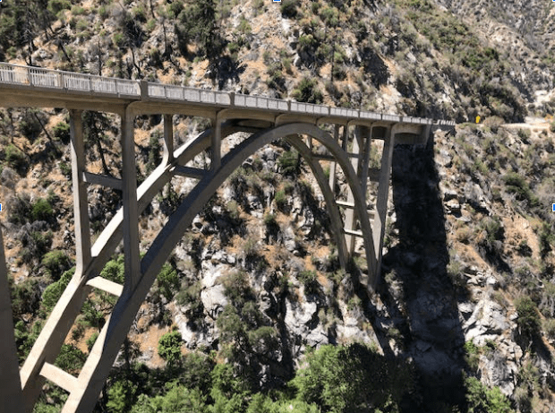
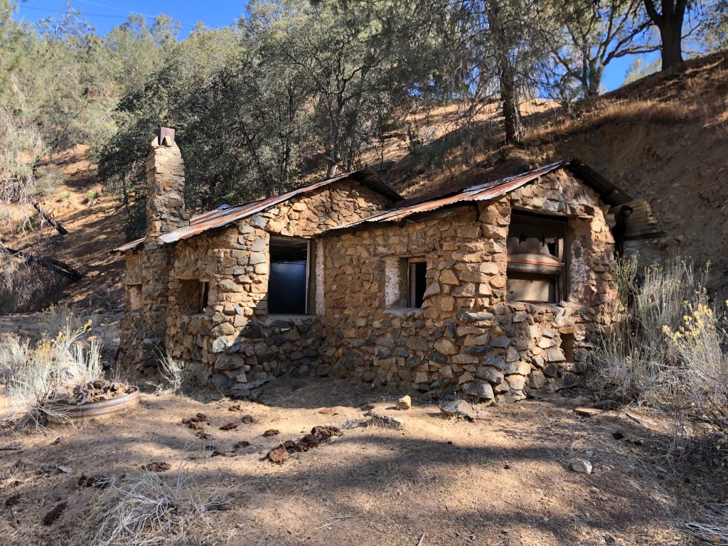
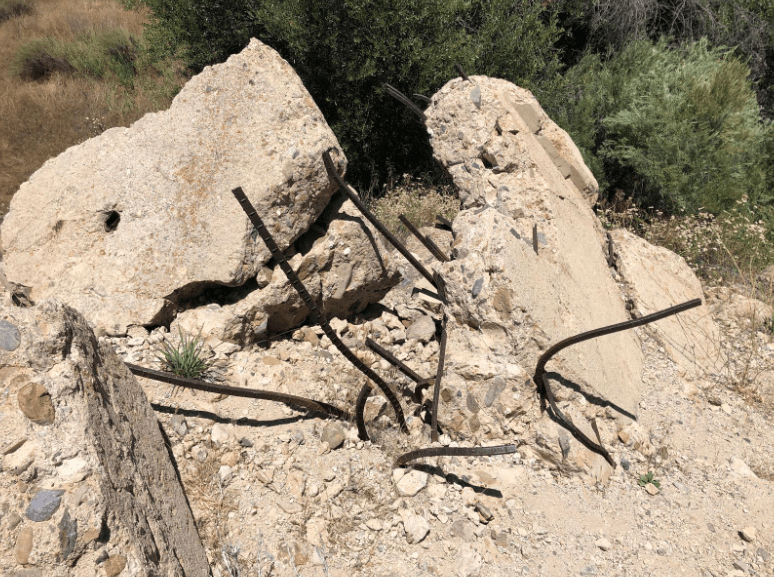
So today, I’m standing in the same canyon where the floodwaters unleashed by the St Francis Dam had scoured everything from the surface. I tried to imagine what that must have been like. The scale is hard to fathom. And so to help me wrap my head around this disaster, I sought out Site #3: The ruins of the St. Francis Dam.
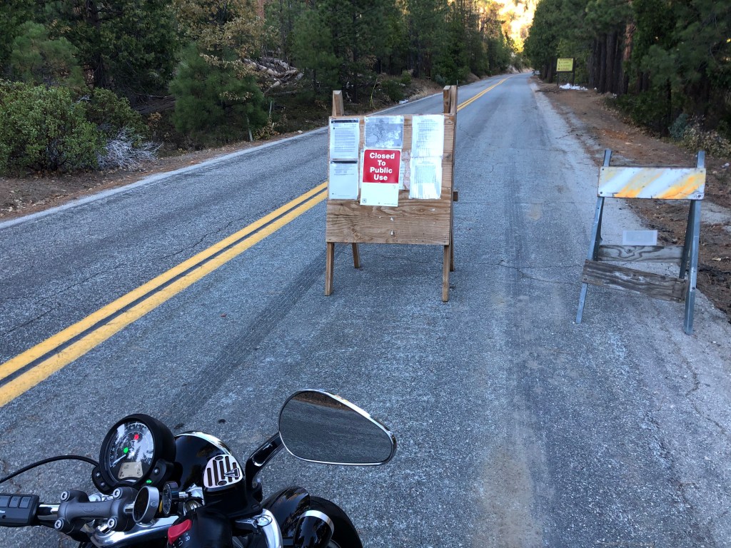
This took a little doing. After a few false leads, I found an abandoned road which had been barricaded with K-rail. I parked the Triumph and hoofed it along the cracked roadway, down into what had briefly been the dam’s reservoir.
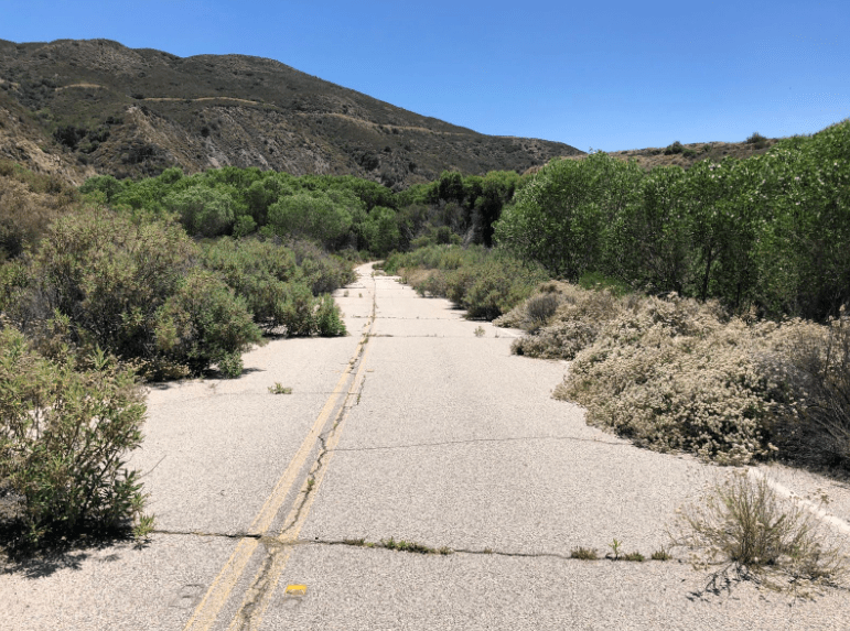
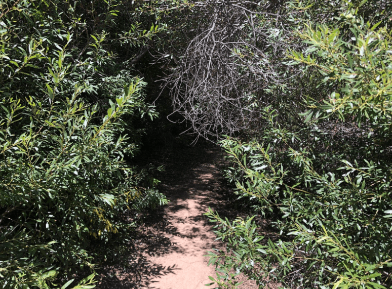
The further I went, the more overgrown the road became, until it was barely a path hemmed in by brush:
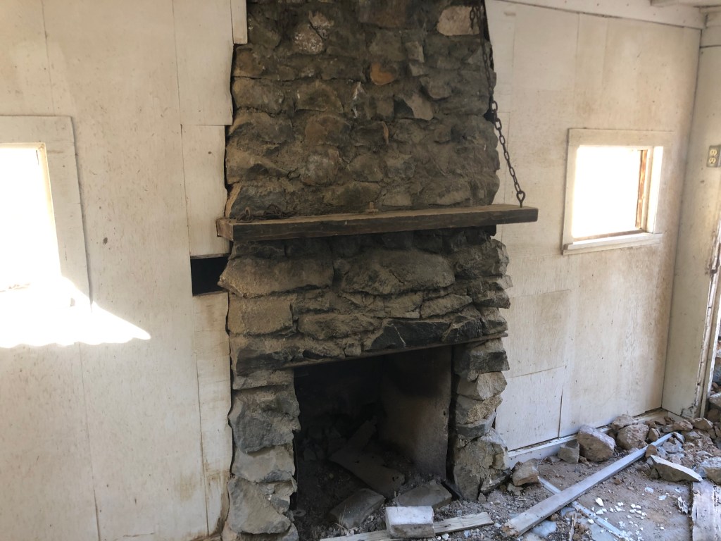
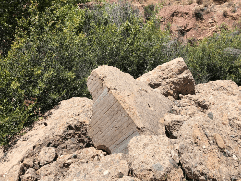
But then, suddenly, the brush cleared and I was standing on the site where the St. Francis Dam once stood. It was eerie, in that desolate area, hearing nothing but the wind rustling the leaves of the (incongruous) Aspen (?) trees, and imagining the total collapse of that massive structure. All that was left were some large concrete chunks and some rebar. (The authorities long ago dynamited and bulldozed the portions of the dam that had been still standing, in order to discourage sightseers. Like me.) Anyway, here’s what I saw today:
Notably, Mulholland assumed full responsibility for the dam’s failure, and a few months later he resigned as the head of LA’s water and power agency, and retired. There are many things not to like about William Mulholland, but you have to admire his The-Buck-Stops-Here attitude which is almost entirely lacking among politicians these days. Mulholland is quoted as saying, “If there was an error in human judgment, I was the human, I won’t try to fasten it on anyone else.” After retiring, he became a recluse, and it is said he spent the rest of his life feeling devastated by the St. Francis Dam disaster.
As I headed home, returning to the LA freeways and encountering the crush of Angelenos returning home from work, texting while they drive and exercising almost no lane discipline, I tried to make some sense of what I saw today. On the one hand, I’m in awe of heroic public works projects like the Los Angeles aqueduct. Leaving aside the environmental implications and the morality of stealing water from the Owens Valley, the sheer engineering and execution of the project is astounding. It’s not Apollo 11, but it’s close. There’s something awesome about that, and it reminds us that we as a civilization have enormous power to change our environment — for good or bad. And yet. It’s interesting to bookend the Cascades, which are still working beautifully after more than a century, with the St Francis Dam, which failed within a few months. I suppose you could take from that a warning that we need to be more careful in our design and execution. But I take a somewhat different message. It’s that we are not in fact entirely the masters of our destinies. Just as the abandoned road I encountered was being taken back by nature, so did nature take back San Francisquito Canyon. And, in a strange way, I find that somewhat reassuring. Maybe it’s good that we’re not entirely in control. There’s something liberating about that.