bridges · California history · Cars · Road trips · trains · Uncategorized

Getting My Kicks

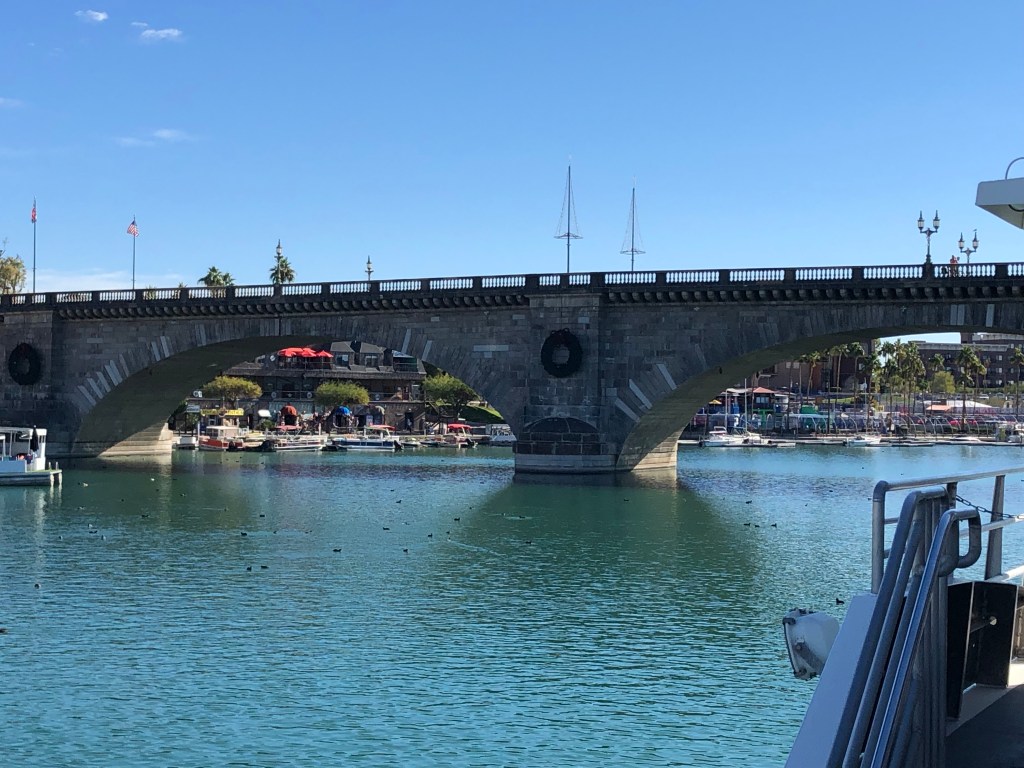
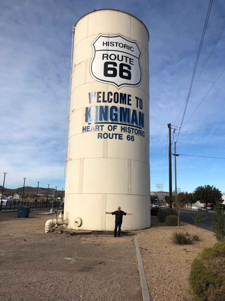
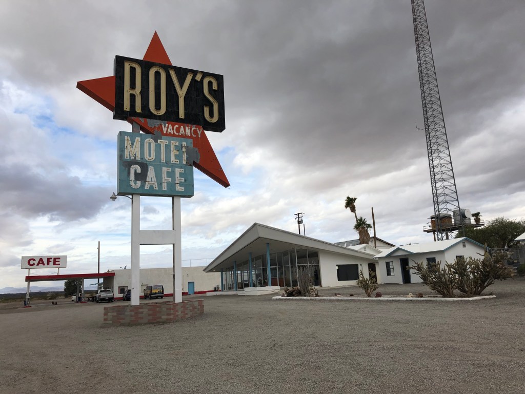
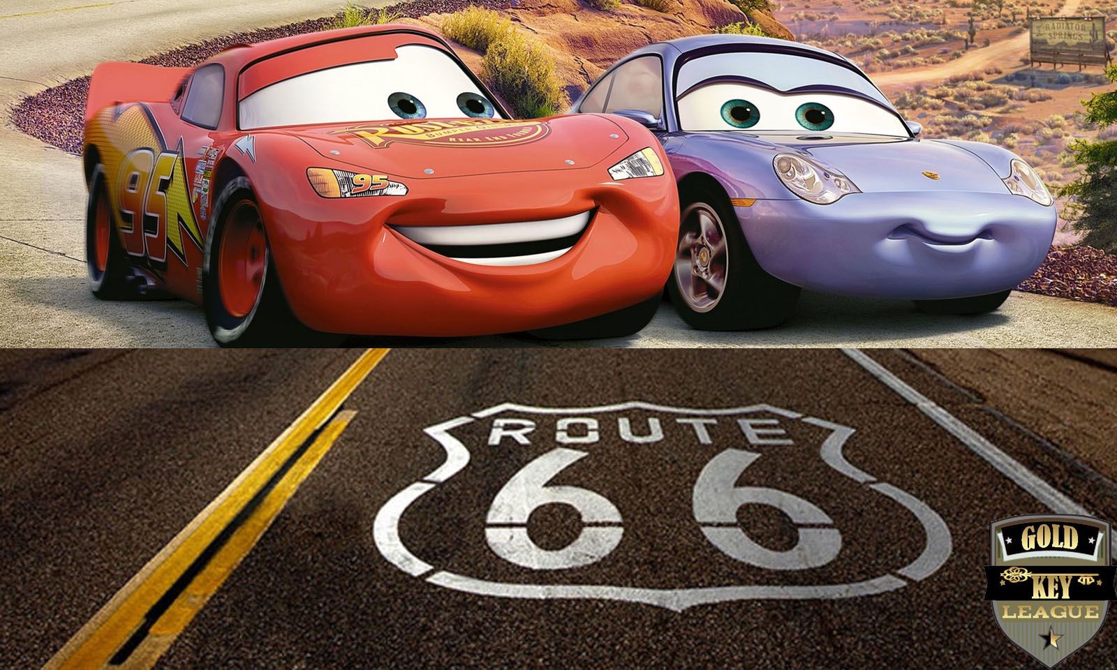
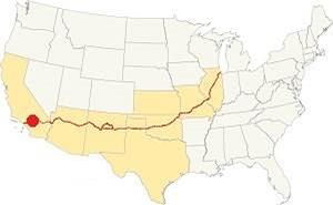
Some years ago, my replacement unit (son Ian) and I drove the entire length of Route 66, from Chicago to Santa Monica. As the reader no doubt knows, Route 66 was one of this country’s first highways, dating back to 1926. It also had been the main way to get to southern California from points east, starting with the dust bowl migration and extending to the car culture of the 1950s and 1960s. Just one or two lanes in each direction, the road has an unhurried and scenic charm. Alas, as depicted in the movie “Cars,” Route 66 was eventually bypassed by various interstates, and the towns and businesses along the old Route slowly declined and eventually dried up. When Ian and I took our trip, we saw plenty of derelict buildings on the side of the road: motels, gas stations, diners, and the like. I suspect that many of those old landmarks that we saw over a decade ago are now gone.

GKRep66W0.jpg

Anyway, Route 66 has always occupied a soft spot in my heart, so I was inspired when my good friend Detlef recommended that I explore an old segment of Route 66 that crosses Cajon Pass (where one crosses from the Mojave Desert to the LA Basin. Or vice versa.) Now, when Ian and I drove Route 66, we didn’t drive on much of this particular segment, because it had been blocked by Interstate 15 in the 1970s. However, a few years ago, the good people of CalTrans redesigned the freeway and reconnected the discontiguous parts of old Route 66 over the pass.

Cajon Pass, Route 66 California

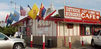
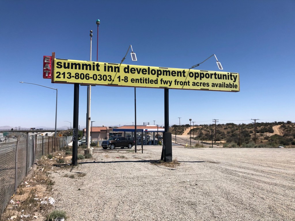
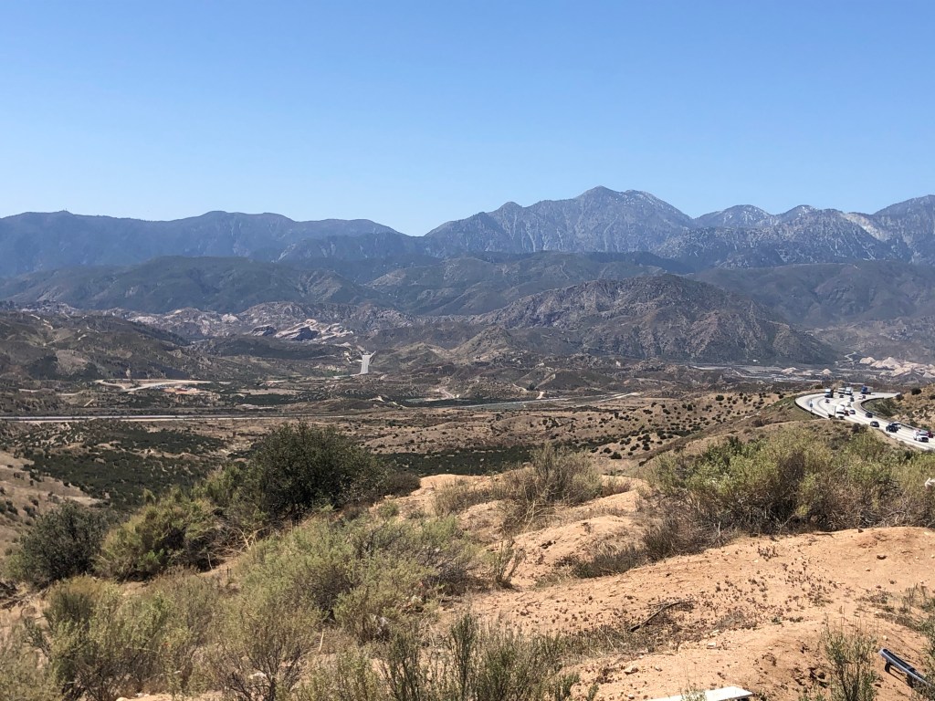
I began today’s tour at the Cajon Summit (approx. 4000 feet above sea level). For over half a century, the Summit Inn stood as a well-known landmark here. The owner, Cecil Stevens, finally sold the place in 2016, and a few months later the structure was destroyed by the “Blue Cut Fire” that ravaged much of the area. Timing is everything. Sadly, Cecil died of Covid just a couple of months ago (February 5). He was 88.

Glory Days
Anyone want to go in with me?
On the site of the old Summit Inn. I have no idea what this is.

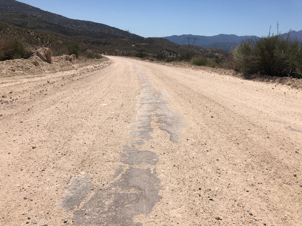
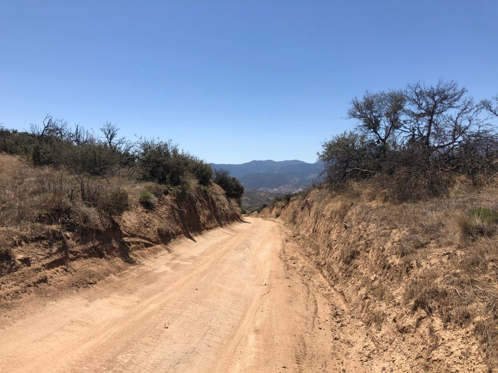
Now, the first part of Route 66 over the pass has been overlaid with Interstate 15. That’s not especially interesting. But you can take an old, rickety, rutted dirt road that had been used as a “shortcut” by motorists in the early years. This dirt road began as a wagon trail called the John Brown Toll Road. It was constructed in 1861–just as the Civil War was erupting. So I set out on this old original road.

…but the old dirt road begins!
View of Cajon Pass from John Brown Toll Road. Note I-15 to the right.

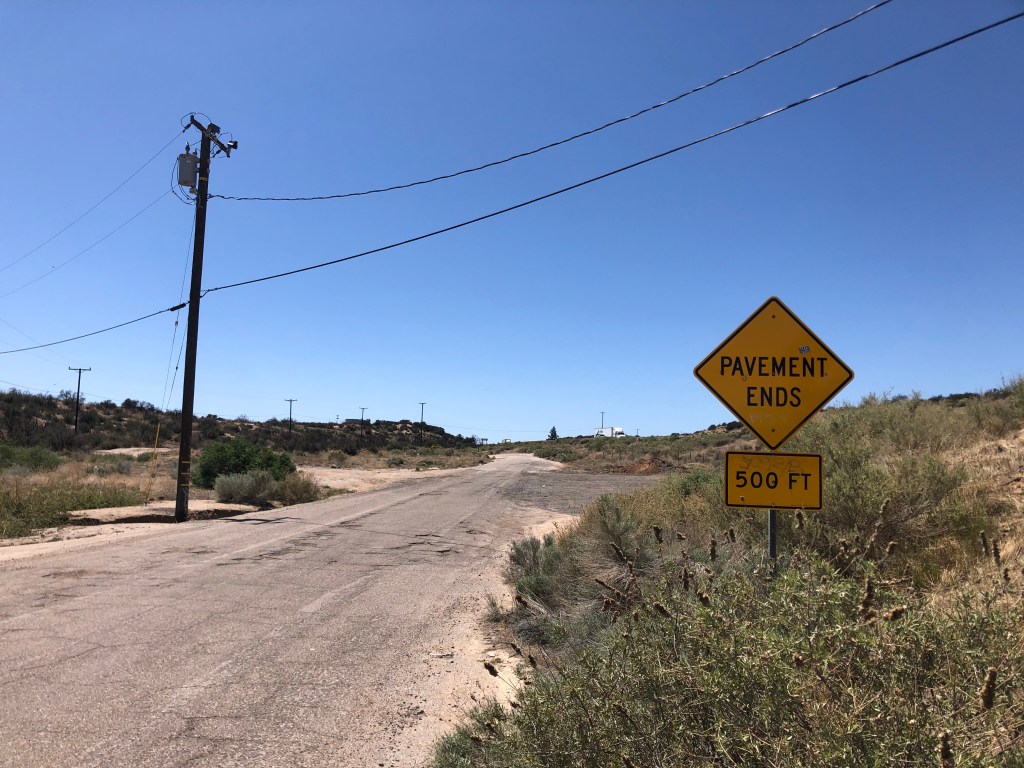
One wonders why this rutted, twisting road was ever considered a “shortcut” for Route 66. My understanding is that it used to be in better shape, and it even received pavement in 1914, but it’s narrow and steep and twisting. I was cruising along at about 5 mph.

Remnants of 1914 pavement.
This cut originally was dug by hand in 1861!

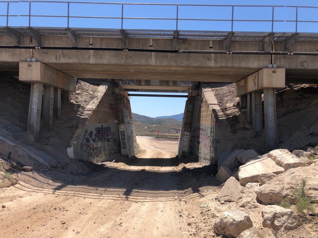
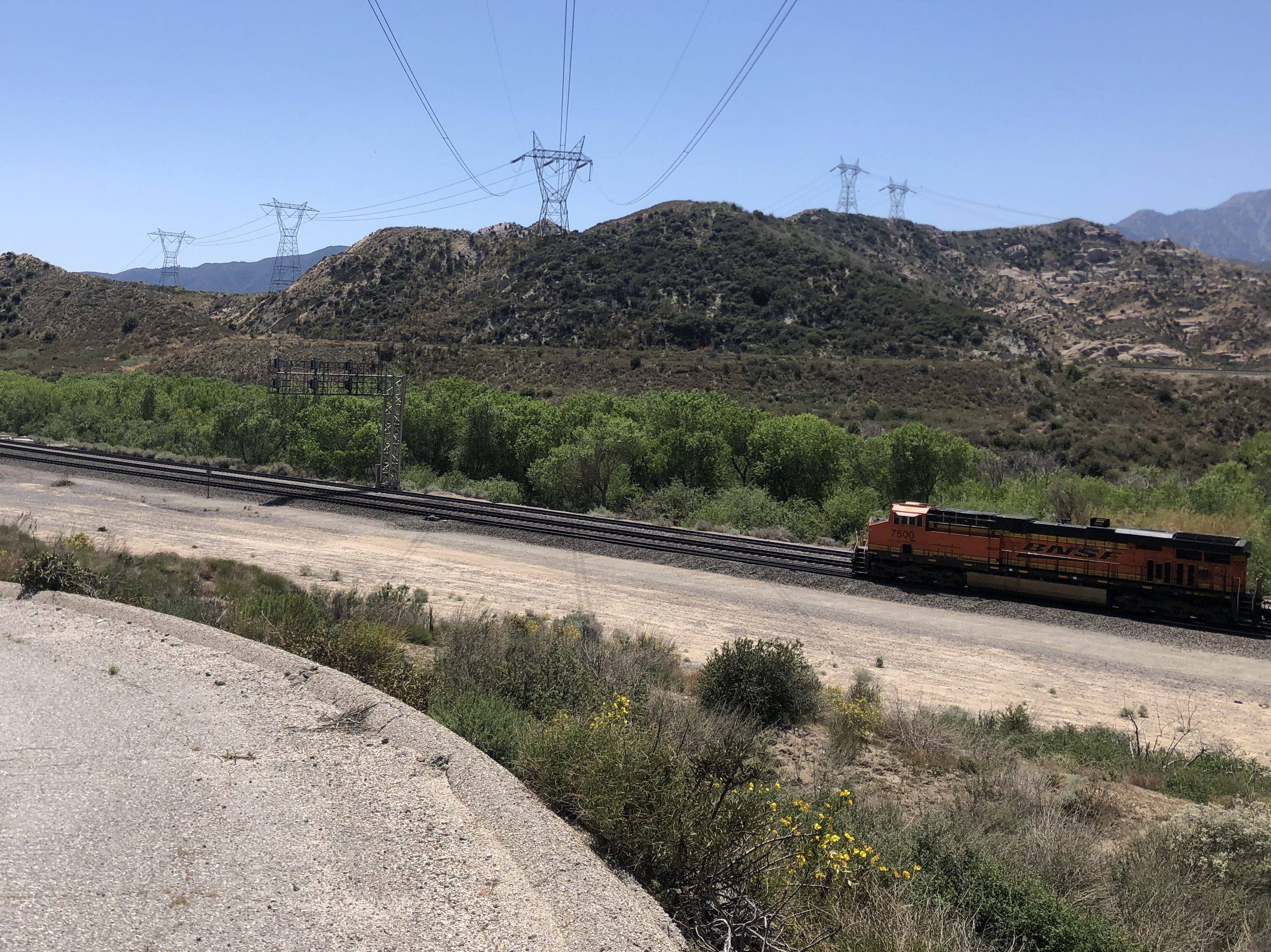
Now, there’s one thing you should know about Cajon Pass: It’s a Mecca for railroad enthusiasts. The railroad first crossed the pass in 1885, and today over 150 trains can pass through in a single day. As I made my way down the John Brown Toll Road, I encountered four sets of tracks, including a trip under these tracks from 1915.

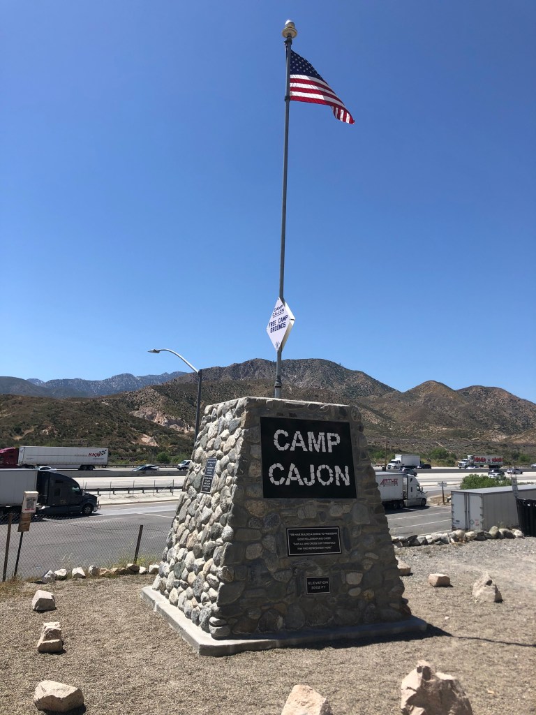
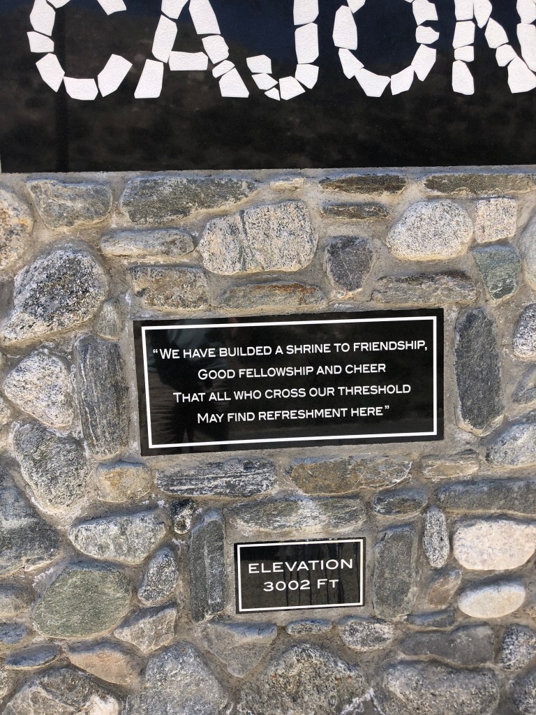
Eventually the John Brown Toll Road reconnects with the old Route 66 proper. At this location, there are several notable markers. One commemorates Camp Cajon, which was a popular resting spot, with various facilities, for travelers coming over the pass. It was developed in 1919, but was destroyed by a flood in 1938.

“We have builded”??

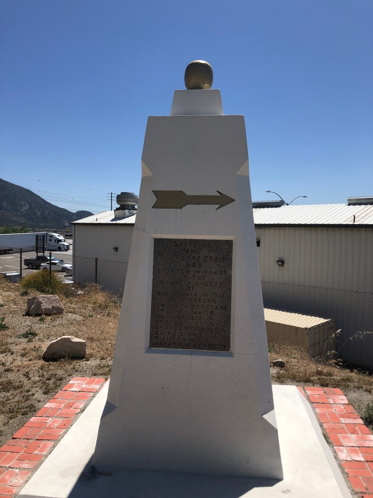
Another marker identifies this spot as the junction of the Santa Fe Trail and the Salt Lake Trail. It honors “the brave pioneers of California,” and was erected in 1917 by a group of eight pioneers. Notably, one of these pioneers in John Brown (of the Wagon Toll Road, which I’d just come down). Two others (Sheldon Stoddard and Sydney Waite) had been members of the “Lost 49ers” through Death Valley. Coincidentally, I’ve run into this group on two earlier trips: Death Valley and, more recently, Walker Pass. These three individuals, along with the other five who sponsored the monument, were all present at the dedication ceremony in 1917.

Monument “to the brave pioneers of California.”

It was now time to get onto Route 66 proper. This segment parallels the modern Interstate 15. Now, as I mentioned, this is railroad country, and much of this road also parallels the old railroad line:

…or are you just happy to see me?

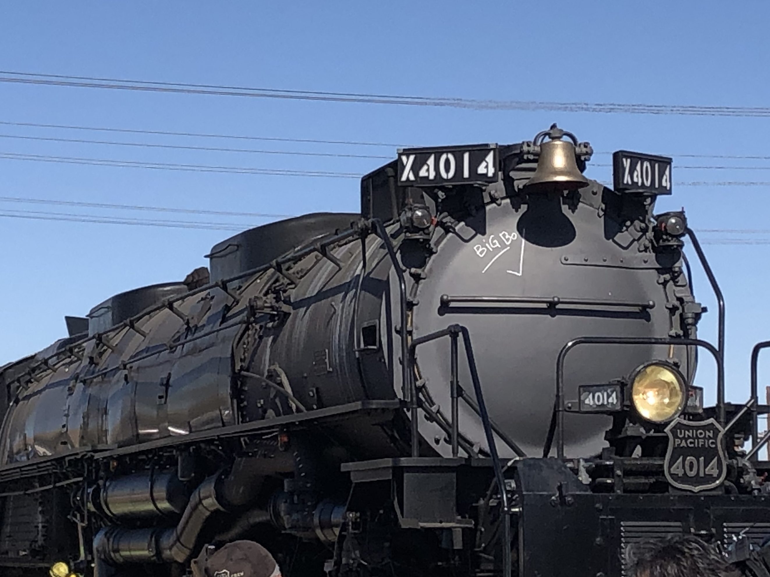
It struck me that this is the same segment of road where I’d camped out for over an hour, waiting for the Union Pacific’s restored “Big Boy” steam locomotive to come through in the fall of 2019. You can see my blog post about that event here.

The Big Boy on its way to through Cajon Pass in 2019.

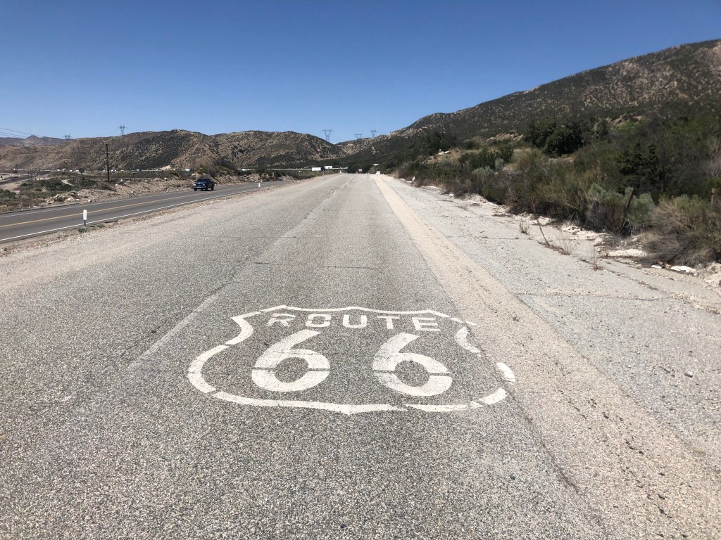
What’s especially cool about this stretch of Route 66 is the good people at CalTrans have repaved the southbound lanes of the old road, and made them into a comfortable two-way road. Meanwhile, they’ve left the northbound lanes of Route 66 unrestored, with periodic K-rail barriers to prevent people from traveling along it, thus preserving it as an artifact. There are even some of the old, painted “Route 66” shields still extant on the original roadbed.

Original roadbed.

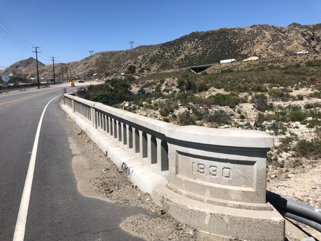
Also, some of the bridges from the early days are still in place, with their year of construction stamped in concrete:

From the Herbert Hoover administration.

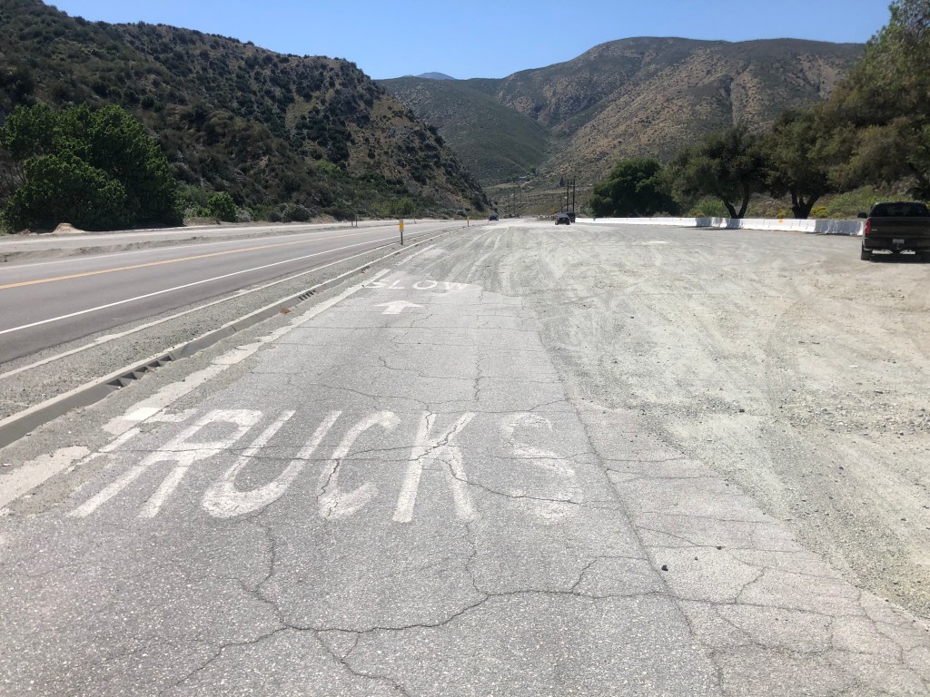
A bit later I came to an old rest area that had been constructed in 1952. All that remains are some pavement markings and a memorial plaque.

Marker notes, among other things, that the tollhouse for the John Brown Toll Road was nearby.

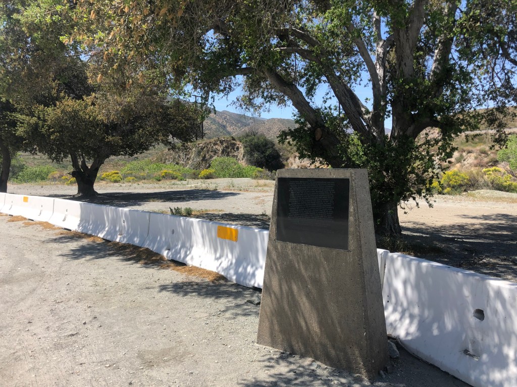
Incidentally, this location sits on the San Andreas Fault, where the Pacific Plate and the North American Plate meet. In fact, it was the San Andreas Fault that created Cajon Pass in the first place.

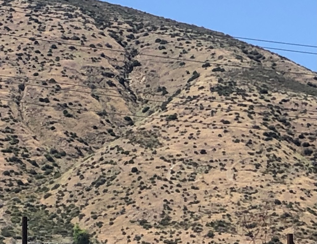
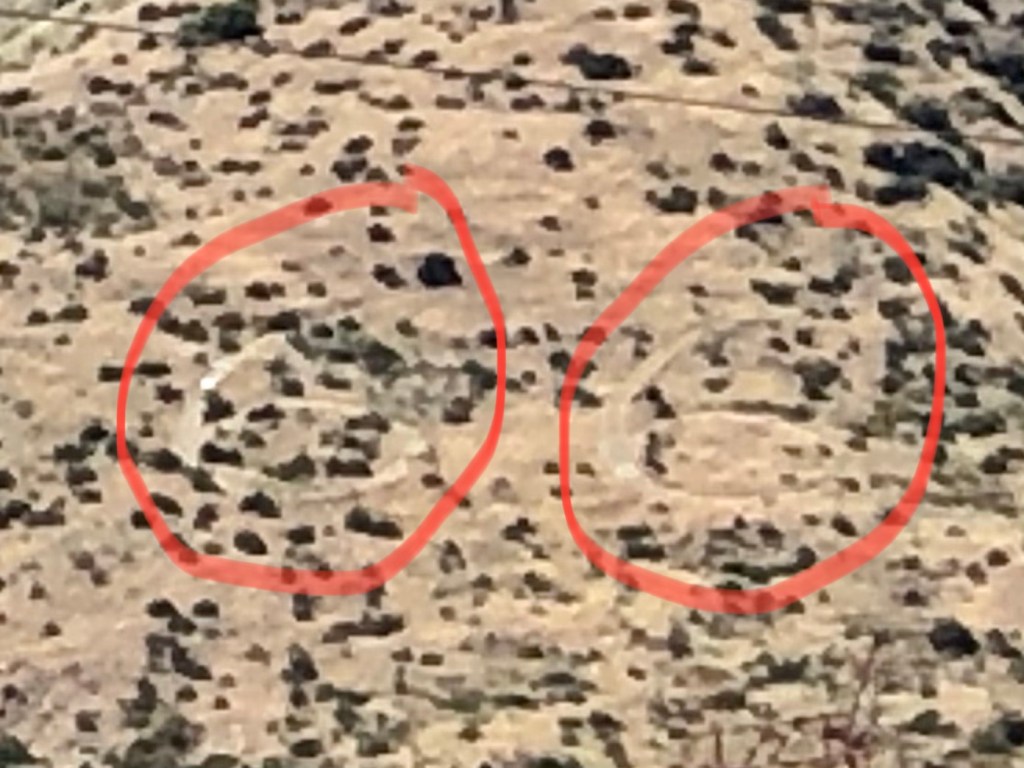
On a hillside next to the road I saw the faintly visible number “66” somehow carved into the earth. I can’t find any information about who did this and when. Tips are welcome!

Can you see it?

Now, let me explain that on my drive from LA to the Pass I was listening to a podcast called “Stuff You Should Know.” (If you’re not already familiar with it I’d recommend it to you.) At the end of the podcast, the hosts always read a letter from a listener. In today’s episode they read a letter they received from the great-great-great niece of one Helen Boss, who caused the car accident in which Sammy Davis Jr. lost his eye in 1954. You can listen to the podcast here (listener mail starts at 59:40).

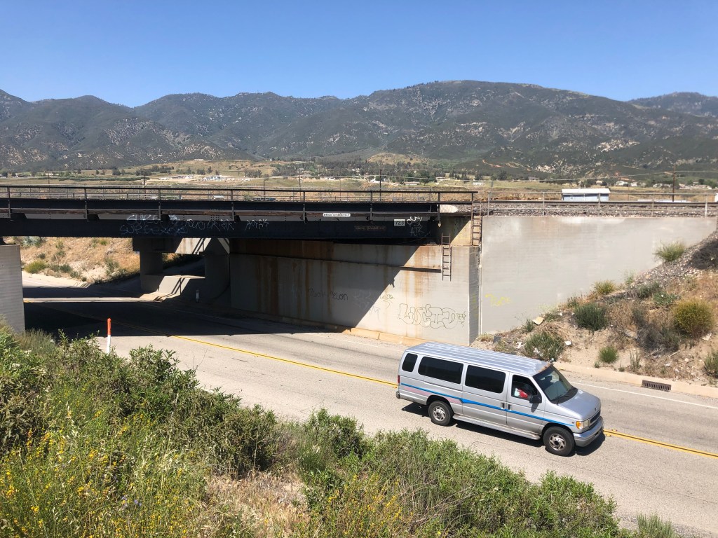
So imagine my surprise when, shortly after listening to that podcast, I found myself passing the exact place on Route 66 where Sammy’s accident occurred. I’m not making this up. The accident happened where the road passes under a railroad track. Evidently the 72-year-old Mrs Boss had missed her exit, and decided to back up in the early morning gloom. Sammy rear ended her and lost his left eye in the accident. Fortunately, no one was killed.

Where Sammy and Helen met.

Before long Route 66 completes its journey through Cajon Pass, and it enters the city of San Bernardino. At this point, almost no remnants of the old road and infrastructure remain. So I decided to jump back onto the interstate to head back home. But it’s worth noting that some other stretches of the original Route 66, along with some roadside structures, still exist on its final leg westward toward Santa Monica, on a road now named Foothill Boulevard. I drove that stretch a few years ago, and will assemble the photos into a blog entry at a later time.

So there you have it: A good stretch of the original Route 66 can still be driven over the Cajon Pass, bypassing the soulless and numbing Interstate. Thanks to Detlef for calling this to my attention!

California history · Road trips

My Fair Lady

Editor’s note: Given limited travel opportunities these days, I decided each Thursday to post travel stories I’d written prior to starting this blog. The following is from November 2018. I hope you might vicariously enjoy this trip while we’re all hunkering down at home.

For many years, my friend Vic and I have been talking about driving out to Lake Havasu, on the border between California and Arizona, to see London Bridge. As you may know, London Bridge was moved from London to Lake Havasu in the 1960s, and it’s always struck us as a “you-have-to-see-it-to-believe-it” kind of phenomenon. But, despite the best of intentions, the trip never materialized. Until now.

So it was that last Tuesday morning I found myself at Ontario airport, picking up Vic who’d just arrived from Sacramento. A couple of illegal U-turns later, we were on our way to…….the site of the first McDonald’s restaurant, which is in San Bernardino.

Ray Kroc’s fever dream

It would probably help to explain that Vic shares my interest in unsung history. And while McDonald’s is hardly unsung, this particular site is something that the McDonald’s Corporation would rather be forgotten. For it was on this site in 1948 that the McDonald’s brothers built the first McDonald’s restaurant. But when Ray Kroc bought the chain from the brothers in 1961, he was infuriated to learn that the sale did not include the original San Bernardino store. He made the brothers remove the Golden Arches from that building, and change its name from McDonald’s to “Big M.” A decade later, the building was torn down, but the sign was saved, and remains to this day.

Now, along comes a fellow named Albert Okura, who owns the Juan Pollo Rotisserie Chicken chain. (I’d never heard of it either.) He learns that this old McDonald’s property (with the original sign, and a new office building) is up for sale, so he buys it and moves the Juan Pollo headquarters there. But, supposedly because he “believes it is his responsibility to preserve the early history of the most successfulfast food restaurant chain in the world,” he devotes half of the office building to an unofficial McDonald’s history museum. Vic and I spent an hour checking out the old McDonald’s paraphernalia, as well as thousands of Happy Meal toys.

Vic, fraternizing with the prisoners.

A little later, as we were driving across the Mojave Desert, we stopped at the “ghost town” of Calico. I use quotation marks because, while Calico was once a prosperous mining town that became all but deserted after silver prices dropped, it’s now a county park. In fact, to enter the “town” you have to stop at the entrance and pay $8 a head to the County parks ranger, who was asleep on a stool. (Evidently visitors are as scarce as residents in this ghost town.)

The ghost town of Calico, complete with historic satellite dish.

Calico is an uneasy mix of legitimate historic structures, kitchy craft stores, and hucksterism. Indulging in the latter category, we took the train ride (as the only two passengers) and visited the “mystery shack,” where water supposedly runs uphill.

At least this train ride isn’t cluttered with pesky paying customers…

Eventually, we made our way to Lake Havasu City, Arizona, where we got dinner and rested up for the next day’s assault on London Bridge. The story of how London Bridge ended up in the Mojave desert is fascinating. It’s all due to the efforts of Robert McCullough, an entrepreneur who was born in Missouri and eventually made his way to Lake Havasu, where he developed, tested, and manufactured boat motors. As his manufacturing facilities grew, he bought much of the surrounding land and founded Lake Havasu City. But he needed some kind of gimmick to draw people to this barren land. As he pondered this, he learned that the City of London was auctioning off the London Bridge, which had been built in 1831 but was gradually sinking inch-by-inch into the Thames. So, in 1967, McCullough’s bid of $2.5 million was accepted, and he became the proud owner of London Bridge. The structure was carefully disassembled stone by stone, shipped through the Panama Canal, and unloaded at Long Beach, CA, where it was then trucked inland 300 miles to Lake Havasu City. The bridge was re-assembled on the desert floor. Finally, a channel was dug to bring the Lake’s water under the bridge. The bridge was reopened in 1971.

The original Bridge to Nowhere

It’s hard to express why I’m so intrigued by McCullough’s effort. Sure, it was a crazy idea. The very logistics of moving a bridge 5,300 miles are daunting enough. And to spend a good chunk of one’s personal fortune on it seems foolhardy, especially when the end result is a relatively useless structure in an unpopulated desert town. But I suppose it’s because of those things, rather than in spite of them, that I admire McCullough. Too often we let logic get in the way of our dreams. In a very small way, that’s why it took Vic and me so long to take this trip!

With the main objective of our trip now complete, we began our return drive along several stretches of historic Route 66. We headed up to Kingman, AZ (pop: 28,000), which is called out by name in Nat King Cole’s “Route 66.”

Geographically, Kingman is more like Route 66’s left wrist.

We visited Kingman’s Route 66 museum (which included a sweet Studebaker Commander), and explored some of the historic sites along the Mother Road.

That quirky look that’s so ugly that it’s kind of cool. Oh, and the car is pretty neat, too…

The next day we headed west on Interstate 40 (which replaced Route 66 in this region in 1984). But whenever a stretch of the historic highway was available, we left the interstate and motored along the historic pavement. Each time we transitioned off the interstate, I could feel my grip on the steering wheel relax. My eyes would open a little wider, and I’d feel more at one with the passing countryside.

One item that caught my heightened attention on Route 66 was a Chinese lion, cast out of cement, sitting about 20 feet off the road, all alone.

Something you don’t see every day.

A waterproof journal was sitting on the pedestal, with an invitation to record our thoughts. There were many earlier entries, about half of which clearly got into the Zen of the thing, while the other half expressed puzzlement. I wrote something that was somewhere in between those sentiments. But I confess that a world with mysterious lions along the roadside is better than a world without such oddities.

A short time later we came upon the town of Amboy (pop: 4). Amboy was first settled in 1858, and became a boomtown when Route 66 opened up in the 1920s. In the 1930s, Roy’s Motel and Cafe were built by Roy Crowl. The complex included a gas station and a store, and the addition of a large sign in 1959 make Roy’s an especially popular, even iconic, spot along Route 66.

Vacancy? You don’t say.

Like the many other businesses along the route, Roy’s (and Amboy) fell on hard times when the interstate replaced Route 66. Roy’s went through several ownership changes, Eventually, the motel, gas station, and cafe closed, and the property fell into disrepair. Then, in 2005, a history buff and Route 66 preservationist purchased the town of Amboy with the intention of re-opening Roy’s and creating a Route 66 museum. I can attest that Roy’s is indeed now open for business, selling gas and supplies to the (scarce) passers-by. We saw active construction on the motel cabins, which look like they should be open for visitors sometime next year. And who is this savior of Amboy and Roy’s, who puts his money and time into saving a piece of history for the rest of us? Coincidentally, it’s Albert Okura — the same guy who created theMcDonald’s museum we’d stopped at 2 days earlier. And, like Robert McCullough, Okura isn’t afraid to purchase an entire town in the effort to fulfill his dreams.

So, as we headed home, Vic and I tipped our hats to Albert Okura, Robert McCullough, and all the others who work to make our world a little less jejune and a little more worthy of a road trip like this one.

For those who have their taste sense, but no other.