Ah, the Father’s Day weekend–presenting a fine opportunity to take a motorcycle ride in the fine June weather without feeling guilty that I’m not mowing the lawn.
If I might be permitted a brief personal aside, apropos of Father’s Day: As of two weeks ago, I’m officially a grandfather. Observe the evidence:
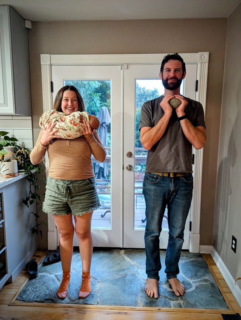
Plus, this important context:

But to get back to my story: I was cruising along CA Route 193 (my earlier trip on this route is here) in the glorious spring weather, and on a whim I took a short detour to a place called Spanish Flat (pop: 8,000).
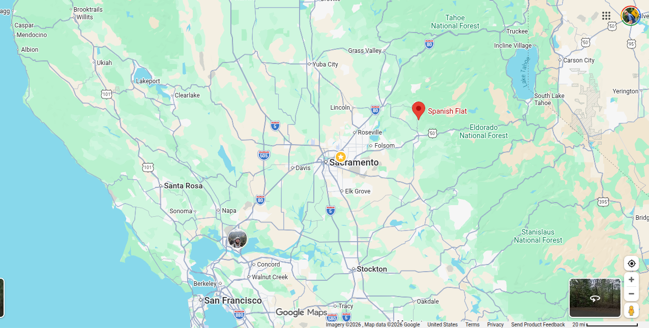
Spanish Flat arose as a mining town during the Gold Rush in 1849. Its name does not relate to Spaniards per se, but rather to Spanish-speaking miners who arrived from Mexico, Portugal, and Chile.
The early years of the Gold Rush in this region were characterized by placer mining–essentially collecting gold that lay on the surface of the land, usually in current and former creek beds. Spanish Flat was evidently a rich source of gold, and it grew into a sizable community. Then, after the easy pickings played out, the miners moved on to other areas, and Spanish Flat’s population rapidly declined. On several occasions–most recently in the 1930s and 1940s–it experienced a resurgence as mines were dug deep into the ground. But these veins played out as well, and Spanish Flat eventually became a sleepy, rural hamlet that subsists on ranching and farming.
These days, Spanish Flat is notable only for this famous Gold-Rush era photograph.
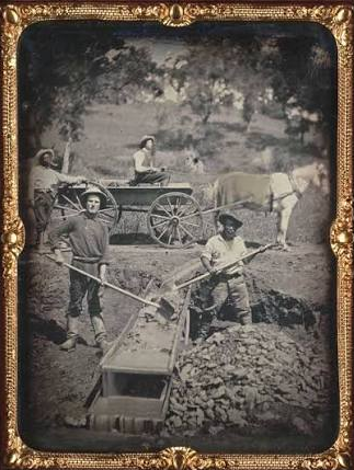
Allow me to quote from Doug Noble, whose blog (“Doug Steps Out”) is quite informative:
The name of this town is known world-wide because of a single daguerreotype (photograph) entitled, “Miners at Spanish Flat, El Dorado County”, that appears in nearly every book about the Gold Rush. Attributed to an early photographer name Joseph Blaney Starkweather, the often printed photo shows four miners, two of whom are black, working together in what appears to be conditions of equality. The original of this photo is kept at the California State Library and was prominently on display at the Oakland Museum’s Sesquicentennial of the Gold Rush exhibition a few years ago. It is believed to have been taken in 1852.
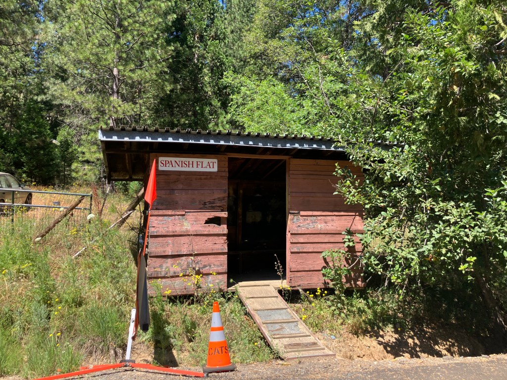
But that was all over 170 years ago. Today, there is no real “town” that I could see–no city offices, no fire station, no businesses of any kind. Just some scattered houses and this old, mysterious cabin that might once have been anything from a bus shelter to a multi-seat outhouse.
Now, I always feel a little uncomfortable dropping into remote areas like this, where few nonresidents are ever spotted traversing the narrow road. I know that many small communities are actually quite welcoming, but here I spotted a few less-than-friendly signs:
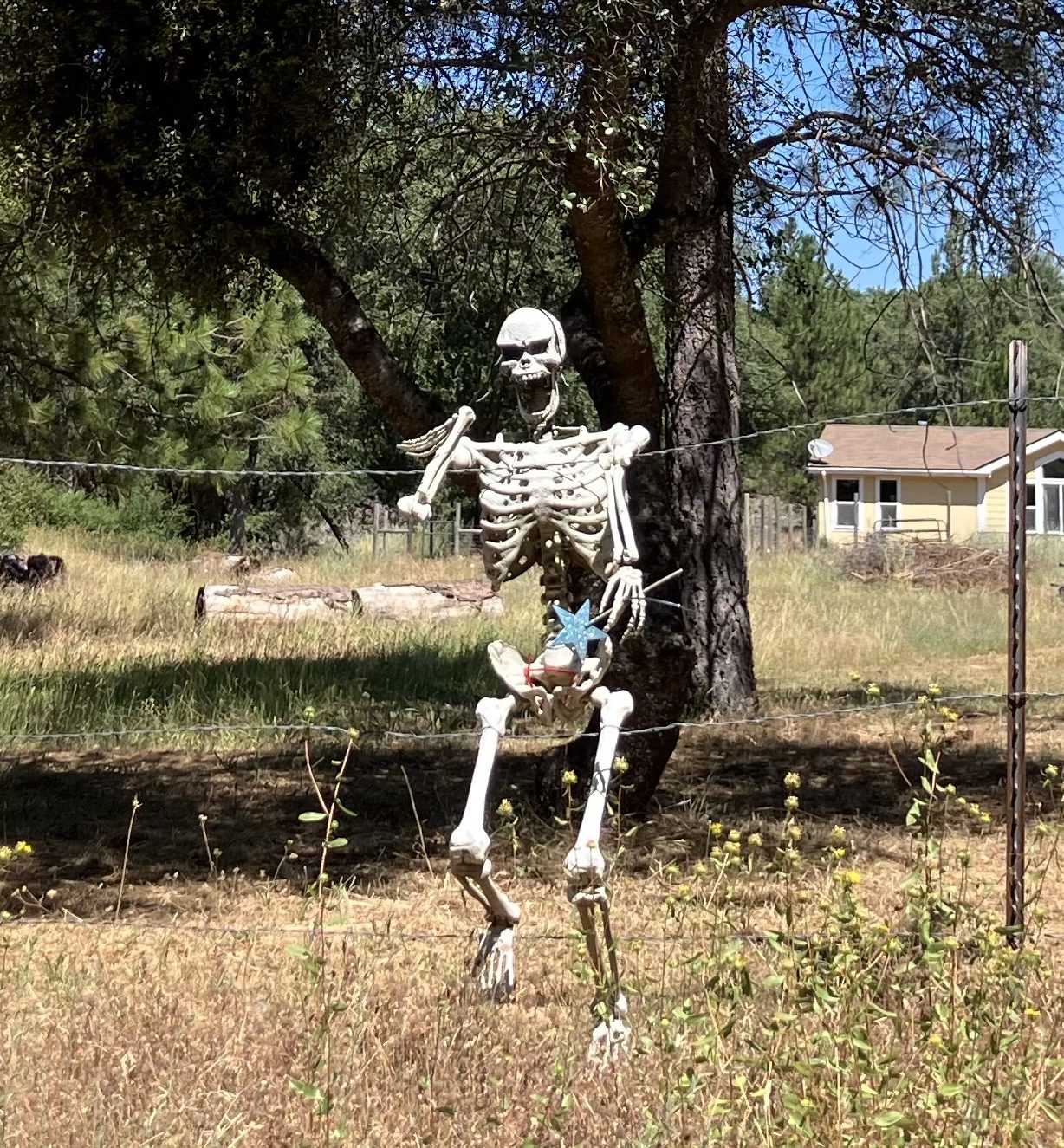
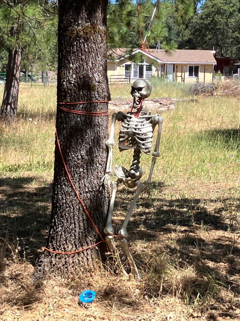
I must say that I didn’t see anywhere near enough houses to shelter the supposedly 8,000 residents of this tiny village. But assuming that they’re hidden away in the hills and hollers, it becomes obvious that these people rely mightily on the one or two paved roads that connect them with Highway 193 and beyond. This was on my mind as I cruised along Traverse Creek Road, which is one of the only two roads worthy of the name that cut through Spanish Flat. It dips and turns through stands of oak, manzanita, and toyon, and several times it crosses the eponymous Traverse Creek, which feeds into the south fork of the American River. It was then that I felt an appreciation for the nameless workers and bureaucrats who are responsible for this narrow ribbon of infrastructure. I doubt the county gives Traverse Creek Road a lot of regular attention, but it’s a blessing that it’s there at all, providing a vital like to civilization for the skeleton-flaunting residents of Spanish Flat.
Oh, and did I say “nameless bureaucrats”? The exception that proves the rule is Henry Lahiff, the engineer responsible for a modest, one-lane bridge on Traverse Creek Road.
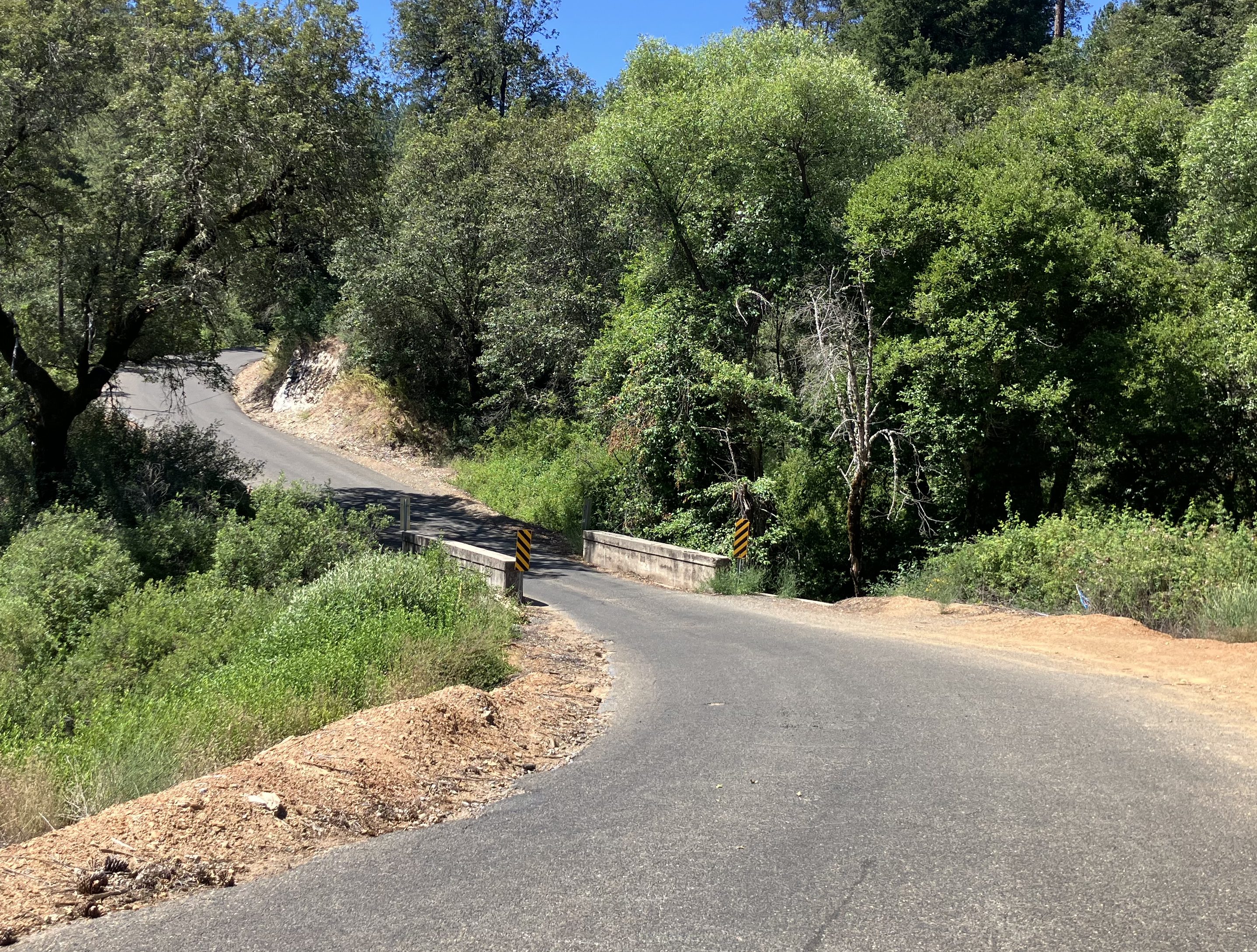
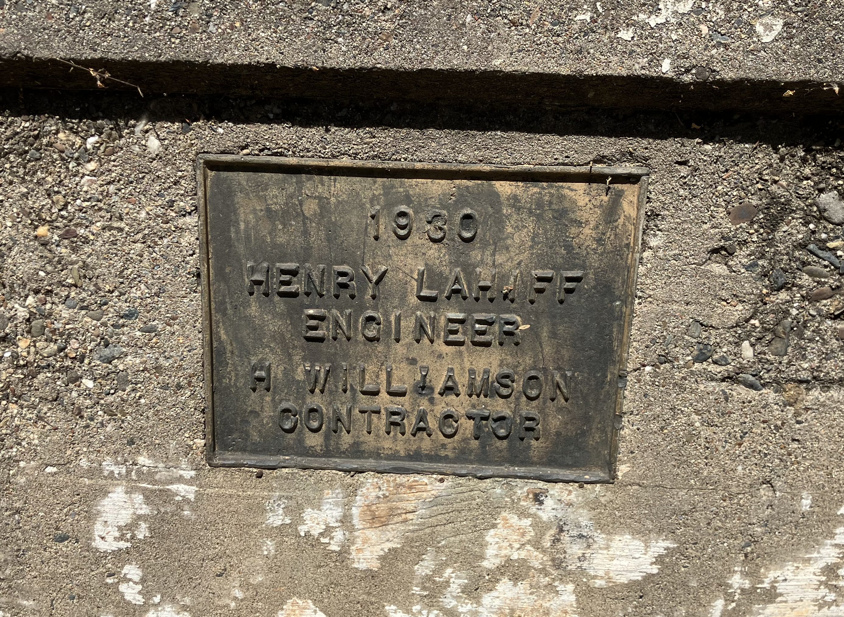
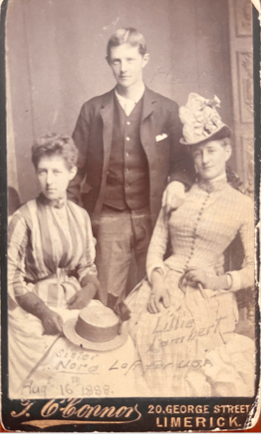
Henry Lahiff (1868-1954) was an Irish immigrant who settled in Placerville after the Gold Rush, and became the US Deputy Mineral Surveyor in the area, as well as the El Dorado County Surveyor. He’s responsible for a number of bridges in the region, and in the 1930s seems to have developed the habit of having his name affixed to each one. (Note that in my earlier Highway 193 trip I called attention to one of Lahiff’s bridges.)
Henry seems to have been quite capable in his work, which we still use today. He was also something of a stud.
Anyway, my point is (1) that Spanish Flat is one of those many Gold Rush-era settlements that once held economic and social significance but today exists as a pale shadow of its former self, and (2) God bless Henry Lahiff and the myriad other public works professionals whose efforts from a century (or more) ago we still rely on in our so-called modern lives.


Steve, because you proclaimed that you are a grandfather, I presume your son and daughter-in-law had a BOY, otherwise you would be a grandmother!😆 Congratulations! God bless them and you. Bill
LikeLike