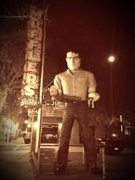
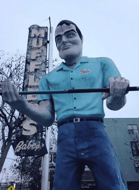
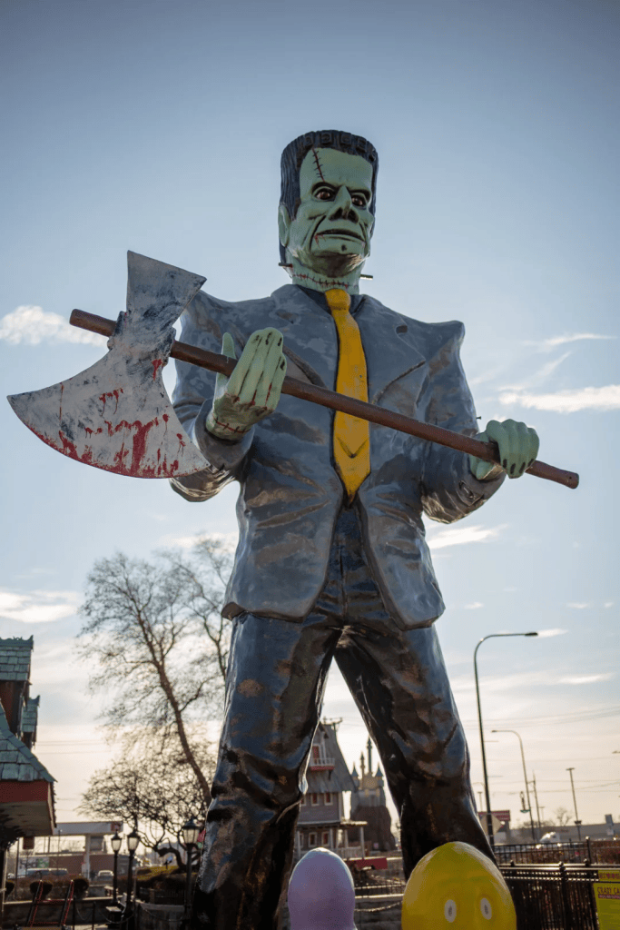
Back in the 1960s, when I was just a sprout, there was a muffler shop in San Jose called Babe’s Mufflers, and facing the street they had a 20-foot-tall fiberglass figure holding a muffler. I always thought the guy’s expression looked a little too determined, like he was about to clobber an unsuspecting passerby with the muffler. I also felt his hand positions on the muffler were unnatural; one was facing up, and the other was facing down. That his shirt pocket was embroidered with “Babe” didn’t help. Anyway, I thought this was just a unique, if unsettling, piece of advertising art.
Babe with his muffler/assault weapon.
It turns out “Babe”is a reference to Roland “Babe” Royer, who owned the place. He died in 2011. But Babe’s Muffler lives on. What’s more, the iconic fiberglass figure still stands in front, holding a muffler. (Sometimes, when the San Jose Sharks hockey team is playing an important game, the muffler gets swapped out for a hockey stick. I’m not making this up.) Indeed, the giant figure is now an official San Jose landmark.
…or are you just happy to see me?
On my travels over the years I’ve encountered a number of similar fiberglass figures. Some look identical to Babe (but advertise other businesses), and some look a little different. Most have the same odd hand positions.
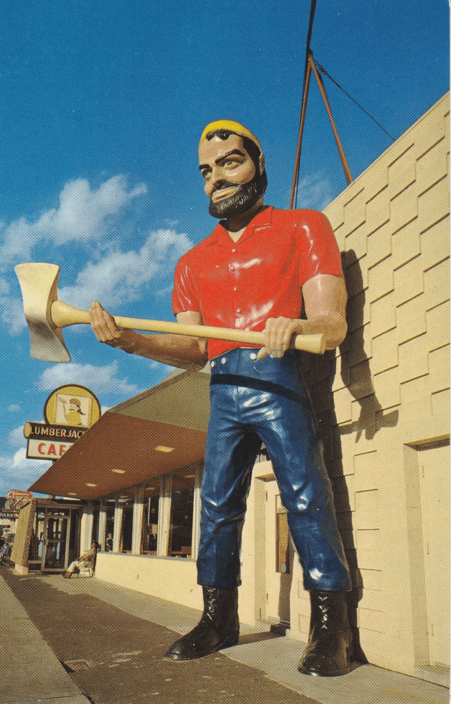
It turns out these “muffler men” (as they are usually dubbed) were made in the 1960s by a company in Venice, CA called International Fiberglass. They’re the same company that made all those brontosauruses (brontosauri?) that you see in front of Sinclair gas stations. Apparently their first muffler man was actually a Paul Bunyan figure to advertise the Lumberjack Cafe on Route 66. In this case the hand positions actually made sense, as the figure was holding an axe.
International Fiberglass would end up making thousands of these fiberglass figures, with a handful of variations (different faces, different attire, etc.) They could be spotted along the highways all across the country. Later, when establishments would go out of business, the new owners would often repurpose the muffler men.
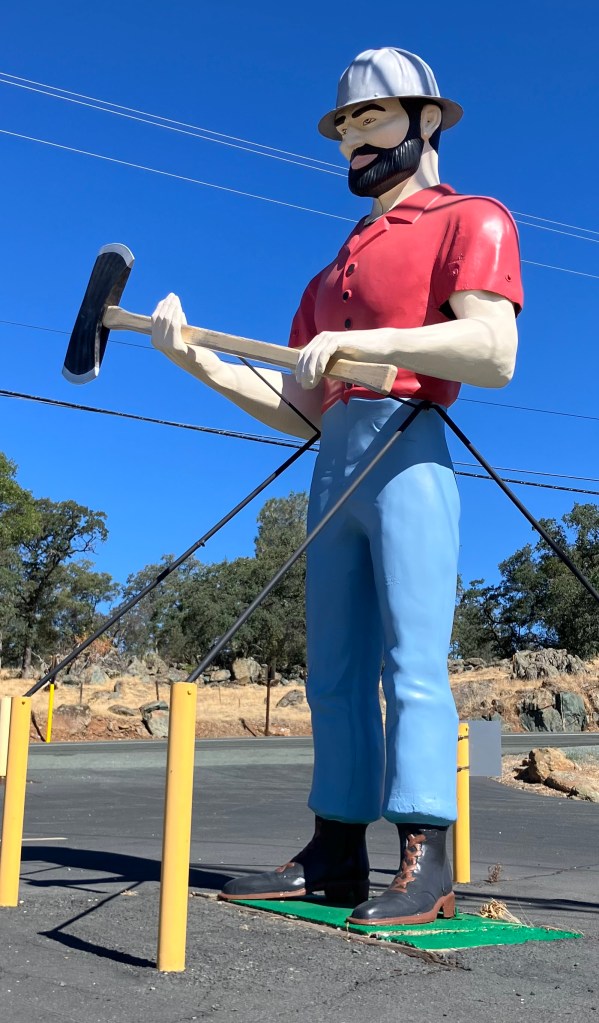
Anyway, I was reminded of all this the other day, when I arrived in the town of Jackson (pop: 5,000), in order to collect dead animal parts at Swingles Meat Company (nickname: A Carnivore’s Playground). On the side of Highway 88 I spotted a muffler man in front of a fitness center called Warriors Lodge. He predates the Warriors Lodge, having stood in this spot (and perhaps other parts of town) advertising other businesses, including a thrift store. He doesn’t quite look like that original Paul Bunyan muffler man, but he looks pretty close, with the telltale hand positions.
If you know any of this guy’s back story, please let me know. Better yet, why don’t you join the Muffler Man Challenge? All you have to do is send me a picture of a muffler man that discover in your own travels, and give me a little information about it (location, associated business, back story, whatever). Bonus points if you can find one that’s not listed on the Muffler Man Wikipedia page. The one I spotted in Jackson is not listed on the page, and I’m guessing there are many more out there.
Poe Corner
(Not to be confused with The House on Pooh Corner)
I was recently interviewed about my Poe-related writing by the hosts of Poe Unplugged. Check it out, if you dare:
Ah, the Father’s Day weekend–presenting a fine opportunity to take a motorcycle ride in the fine June weather without feeling guilty that I’m not mowing the lawn.
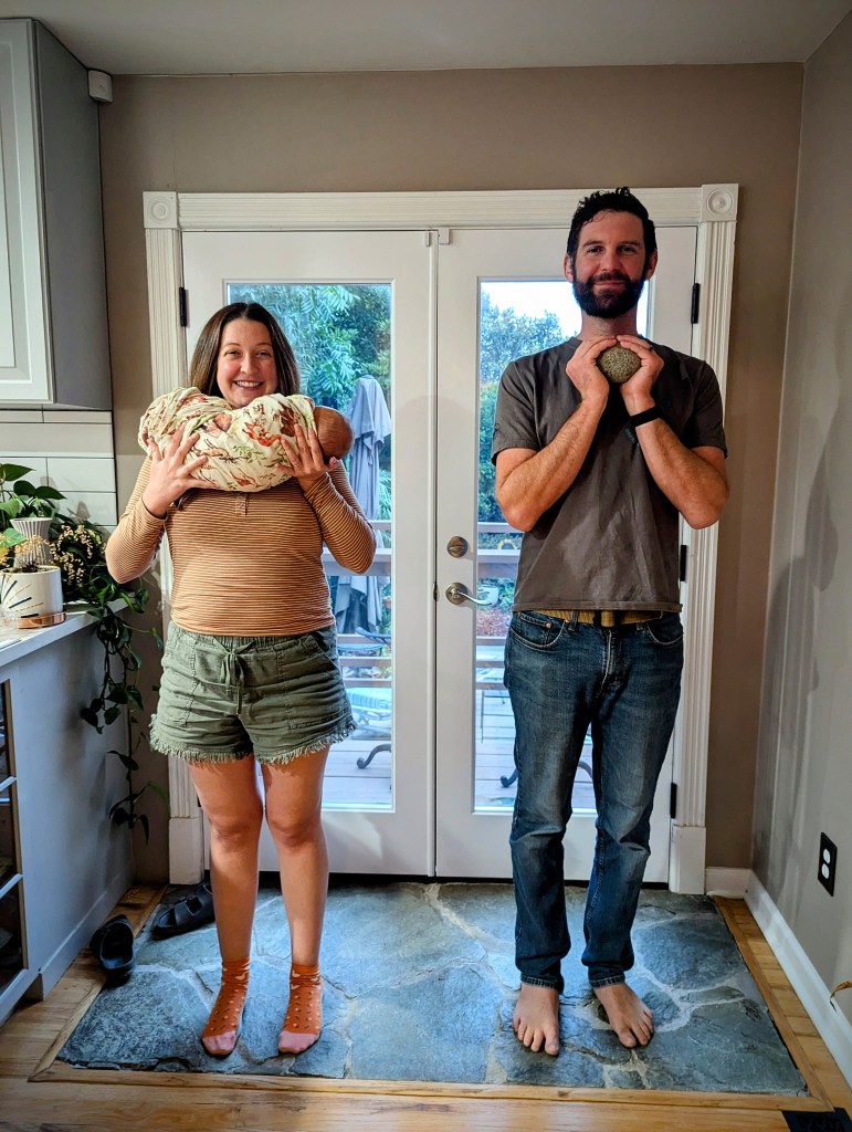
If I might be permitted a brief personal aside, apropos of Father’s Day: As of two weeks ago, I’m officially a grandfather. Observe the evidence:
Plus, this important context:
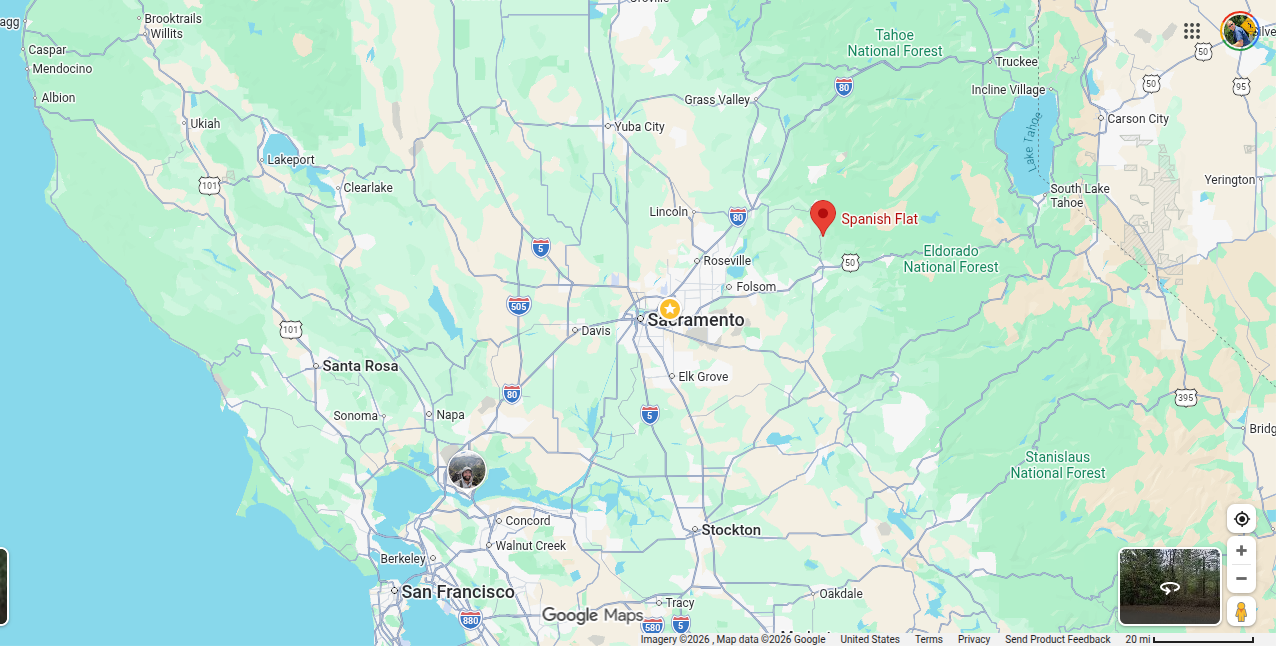
But to get back to my story: I was cruising along CA Route 193 (my earlier trip on this route is here) in the glorious spring weather, and on a whim I took a short detour to a place called Spanish Flat (pop: 8,000).
Spanish Flat arose as a mining town during the Gold Rush in 1849. Its name does not relate to Spaniards per se, but rather to Spanish-speaking miners who arrived from Mexico, Portugal, and Chile.
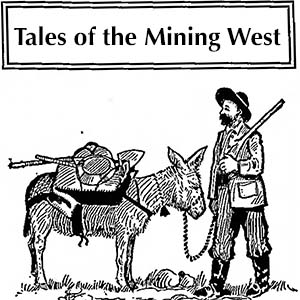
There is so little photographic record of Spanish Flat that I’m forced to employ this cartoon.
The early years of the Gold Rush in this region were characterized by placer mining–essentially collecting gold that lay on the surface of the land, usually in current and former creek beds. Spanish Flat was evidently a rich source of gold, and it grew into a sizable community. Then, after the easy pickings played out, the miners moved on to other areas, and Spanish Flat’s population rapidly declined. On several occasions–most recently in the 1930s and 1940s–it experienced a resurgence as mines were dug deep into the ground. But these veins played out as well, and Spanish Flat eventually became a sleepy, rural hamlet that subsists on ranching and farming.
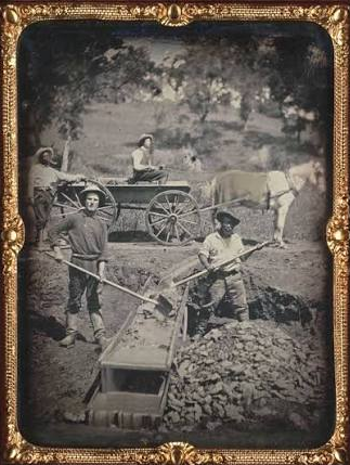
These days, Spanish Flat is notable only for this famous Gold-Rush era photograph.
Allow me to quote from Doug Noble, whose blog (“Doug Steps Out”) is quite informative:
The name of this town is known world-wide because of a single daguerreotype (photograph) entitled, “Miners at Spanish Flat, El Dorado County”, that appears in nearly every book about the Gold Rush. Attributed to an early photographer name Joseph Blaney Starkweather, the often printed photo shows four miners, two of whom are black, working together in what appears to be conditions of equality. The original of this photo is kept at the California State Library and was prominently on display at the Oakland Museum’s Sesquicentennial of the Gold Rush exhibition a few years ago. It is believed to have been taken in 1852.
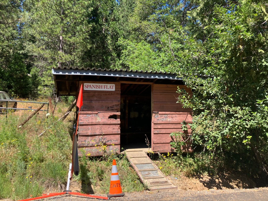
But that was all over 170 years ago. Today, there is no real “town” that I could see–no city offices, no fire station, no businesses of any kind. Just some scattered houses and this old, mysterious cabin that might once have been anything from a bus shelter to a multi-seat outhouse.
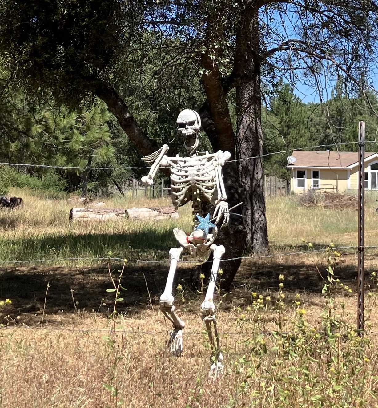
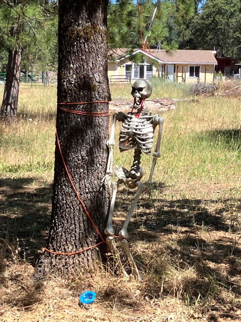
Now, I always feel a little uncomfortable dropping into remote areas like this, where few nonresidents are ever spotted traversing the narrow road. I know that many small communities are actually quite welcoming, but here I spotted a few less-than-friendly signs:
Admittedly, the fairy wand does somewhat mitigate the sense of menace.
The ties that bind…
I must say that I didn’t see anywhere near enough houses to shelter the supposedly 8,000 residents of this tiny village. But assuming that they’re hidden away in the hills and hollers, it becomes obvious that these people rely mightily on the one or two paved roads that connect them with Highway 193 and beyond. This was on my mind as I cruised along Traverse Creek Road, which is one of the only two roads worthy of the name that cut through Spanish Flat. It dips and turns through stands of oak, manzanita, and toyon, and several times it crosses the eponymous Traverse Creek, which feeds into the south fork of the American River. It was then that I felt an appreciation for the nameless workers and bureaucrats who are responsible for this narrow ribbon of infrastructure. I doubt the county gives Traverse Creek Road a lot of regular attention, but it’s a blessing that it’s there at all, providing a vital like to civilization for the skeleton-flaunting residents of Spanish Flat.
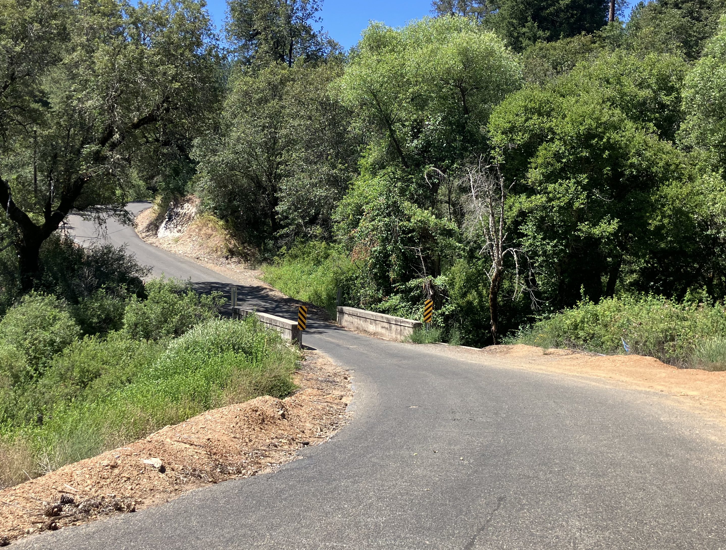
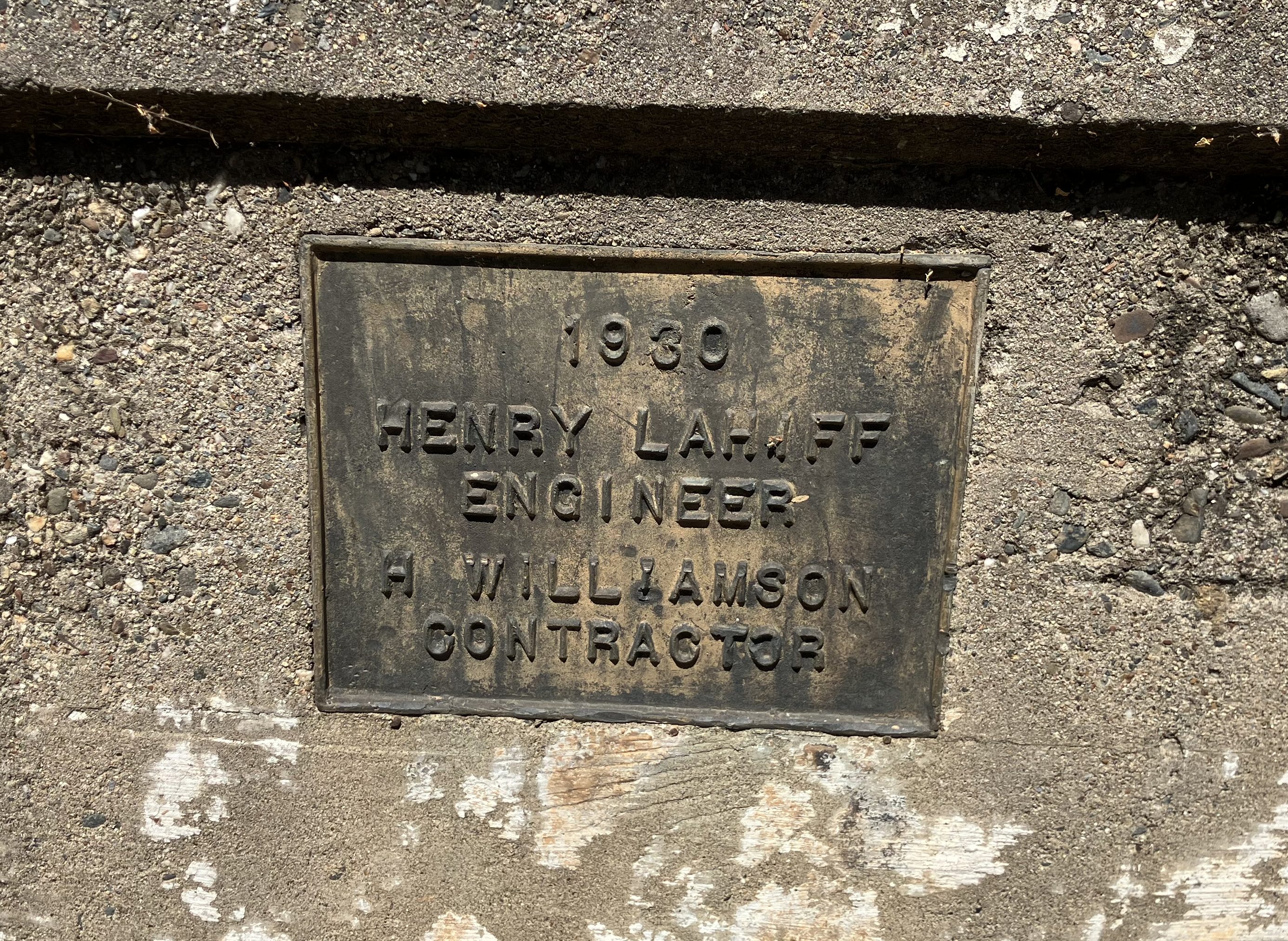
Oh, and did I say “nameless bureaucrats”? The exception that proves the rule is Henry Lahiff, the engineer responsible for a modest, one-lane bridge on Traverse Creek Road.
Bridge over Traverse Creek.
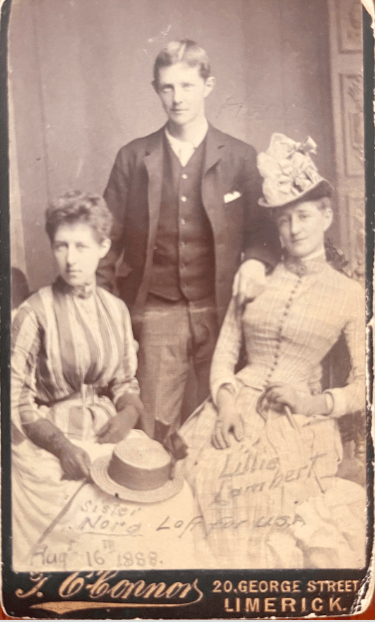
Henry Lahiff (1868-1954) was an Irish immigrant who settled in Placerville after the Gold Rush, and became the US Deputy Mineral Surveyor in the area, as well as the El Dorado County Surveyor. He’s responsible for a number of bridges in the region, and in the 1930s seems to have developed the habit of having his name affixed to each one. (Note that in my earlier Highway 193 trip I called attention to one of Lahiff’s bridges.)
Henry seems to have been quite capable in his work, which we still use today. He was also something of a stud.
Henry with his sister Nora (left) and some floozy named Lillie Lambert.
Anyway, my point is (1) that Spanish Flat is one of those many Gold Rush-era settlements that once held economic and social significance but today exists as a pale shadow of its former self, and (2) God bless Henry Lahiff and the myriad other public works professionals whose efforts from a century (or more) ago we still rely on in our so-called modern lives.
The other day I was in downtown Sacramento and came across an auto repair shop that, I was told, used to be an Orbit Gas station. (Alert readers will recall I’ve developed a minor obsession over documenting the extant remains of the Orbit gas station empire.)
At first glance it does bear some resemblance to Orbit’s distinctive roofline, particularly the pointy projections of the star-shaped roof:
And yet upon closer inspection, this is but a pale imitation of an Orbit. As a point of reference, he’s the real thing:
Note that the genuine Orbit station has no need for those clunky girders that are holding up the ersatz building. They look clumsy and out of place, like the truss towers that hold the colored lights at a Black Sabbath concert.
Moreover, the middle part of the building–the actual interior space where Orbit stored quarts of oil and V-belts, and where they displayed an outdated calendar featuring bikini-clad women suggestively holding auto parts–is framed by a pleasant arch, while the copycat building just has a blocky, angular roofline. It’s the difference between Michelangelo and Picasso.
So we can officially put the kibosh on the rumor of another former Orbit station in downtown Sacramento. But do let me know if you stumble upon any other leads about extant Orbit infrastructure. We’ll do our best to give it the Snopes treatment.
URGENT UPDATE
Just as we were going to press, we reviewed an earlier post where we deemed Suzie Burger in Sacramento to be a former Orbit gas station. This claim is validated on various online sites. And yet, the building looks remarkably similar to the auto repair shop that I’ve deemed to not be an Orbit. Here’s my photo of Suzie Burger:
Notably, a 2019 article in the publication Inside Sacramento says Suzie Burger is “a former Orbit-style gas station” (emphasis added). Maybe there was a knockoff Orbit-style chain of gas stations?
So, here’s how things stand:
Orbit definitely had gas stations in Sacramento, and a few of them still stand today.
There are at least two buildings–Suzie Burger and A-1 Auto Repair–which look sort of like Orbit if you quint. One of these is dubbed a former Orbit, and the other isn’t.
Did Orbit have two styles of buildings? Did Suzie Burger undergo some kind of transformation from a “real” Orbit to an Orbit-“style” building?
You can rest assured we’ll get to the bottom of this.
Those of you who know anything about my sordid past are aware that I did a graduate program in international relations, focusing particularly on relations between the Soviet Union and East Germany. And literally while I was writing my doctoral dissertation, both of those countries ceased to exist. Such is the power of my negative energy.
Much of my graduate study comprised studying things that I should have learned as an undergraduate. Like the map of the world. For example, it wasn’t until grad school that I realized Mauritania looks like it was constructed from Lego bricks.
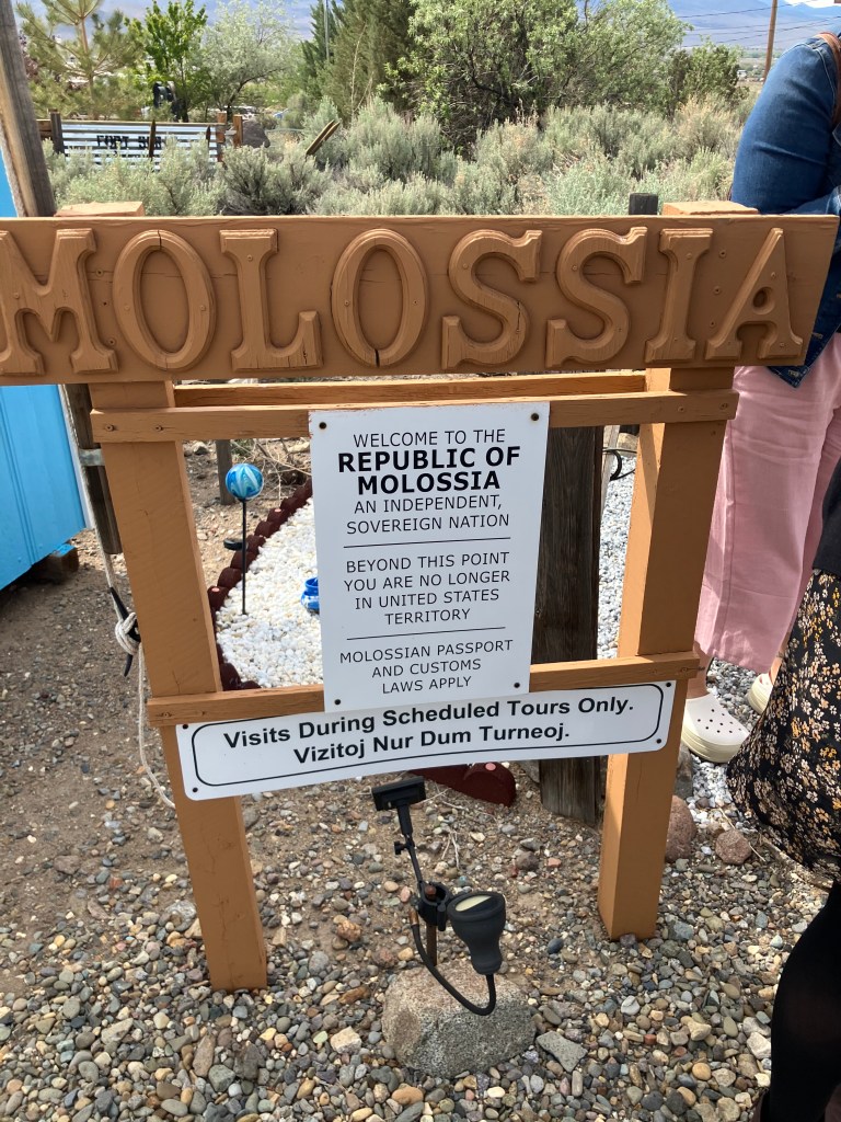
Anyway, one country that even graduate school didn’t prepare me for is the Republic of Molossia. Molossia is what is termed a “micronation,” It’s a landlocked country with only a couple of acres of land in Nevada and two “enclaves” in California. It boasts a population of 38 (including pets).
Like so many things in Nevada, Molossia began as a young man’s fever dream. Kevin Baugh was just a teenager in 1977, when he and his friend Jim watched the 1959 Peter Sellers movie The Mouse That Roared, in which a tiny European nation declares war on the US in order to be defeated and receive American postwar announced. Why don’t we do that, they asked. Accordingly, they declared the formation of the Grand Republic of Vuldstein, with Kevin as Prime Minister and Jim as the ceremonial king. Alas, they owned no land on which to base their country, and Jim eventually lost interest. Kevin, on the other hand, never gave up on the dream, and in the late 1990s he purchased an acre or two of land about a dozen miles east of Carson City, NV. He dubbed it the Republic of Molossia. Baugh is the elected president, though he readily admits that the election was rigged.
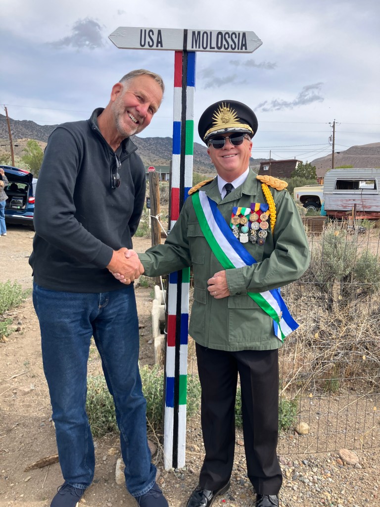
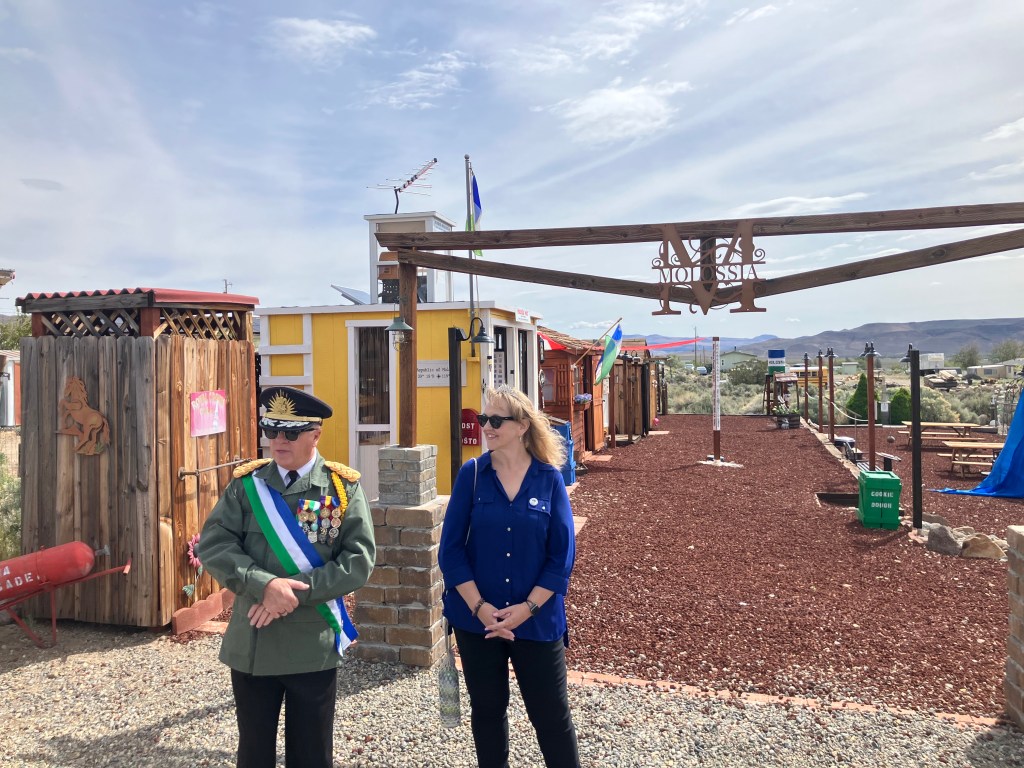
I decided that I should fill in this gap in my graduate education and learn more about Molossia. (Alert readers will recall that I attempted to visit the nation last year, but their customs office was closed.) And so it was that this morning I grabbed my passport and made the two-and-a-half-hour trek that went around Lake Tahoe, across the Nevada state line, and into the Republic of Molossia, where I was personally greeted by the President and First Lady. I’m not making this up.
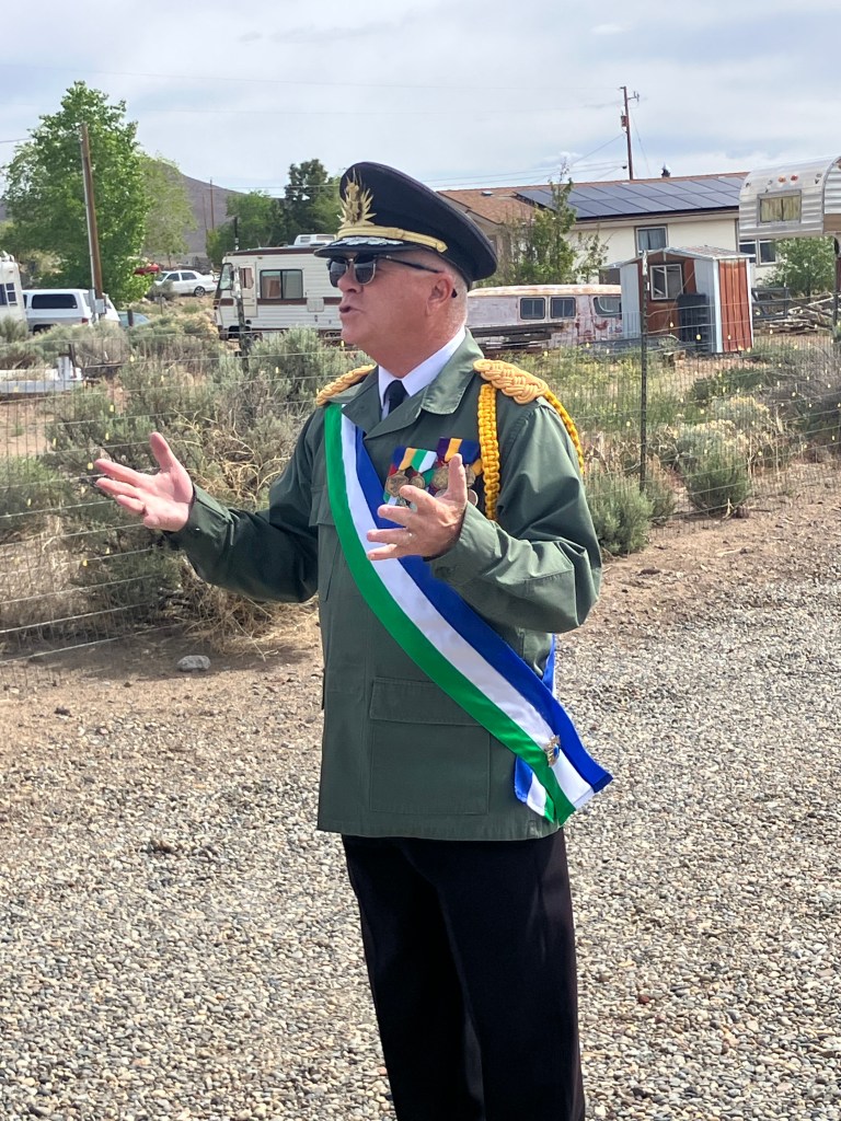
Meeting President Baugh
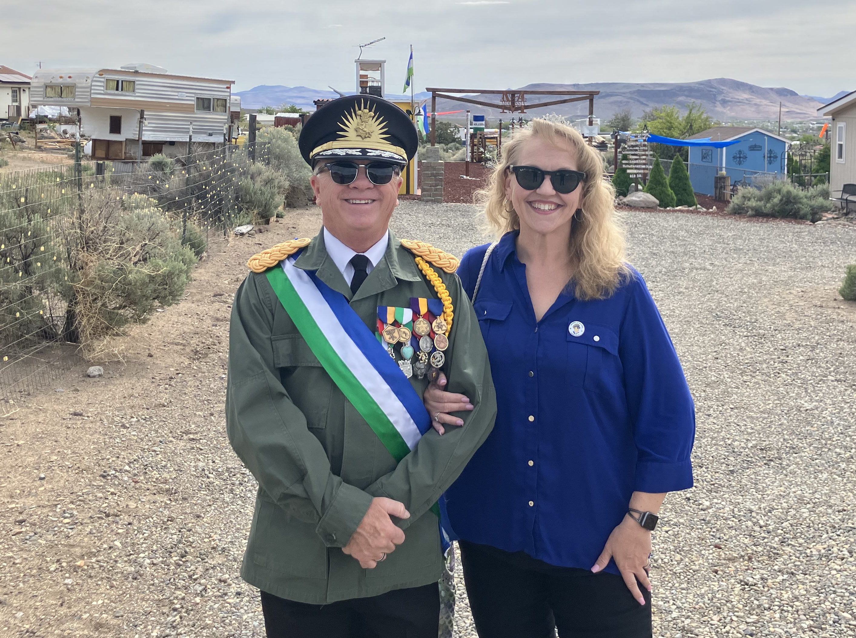
His Excellency and the First Lady
Molassia has two official languages: English and Esperanto. (Look it up if you’re not familiar.)
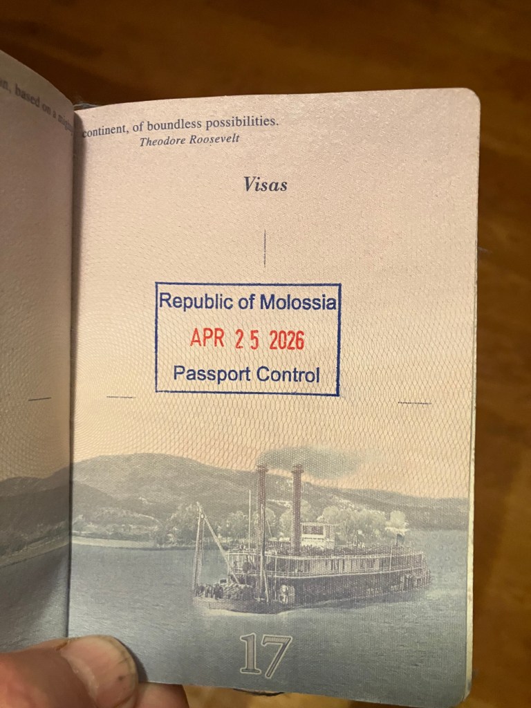
Naturally, my visit to Molossia required passage through Passport Control. I was relieved that my official US Passport was accepted and stamped by the Molossian authorities.
The nation of Molossia is an interesting entity. It would be easy to write it off as a joke. And yet, I was struck by two things: (1) the earnestness of this endeavor, and (2) the obvious good intentions and self-awareness of the First Couple. Put a pin in that latter point, as I’ll be coming back to it at the end of this post.
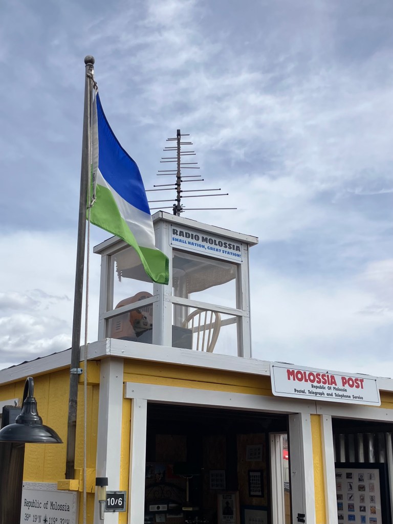
The earnestness shows up in many ways. Above all, they open their micro-nation to tourists (such as myself) over a half-dozen times each year, offering two-hour tours completely without cost to the visitor. (There were about 30 of us on today’s tour.) On top of this, they have sponsored a biannual meeting of micro-nations (Microcon), and participate in many local civic activities. Radio Molossia transmits news at least once a month, and the nation has been a major player in an ongoing war with one of the last remaining Warsaw Pact countries, East Germany. (There’s a story behind this, that I may or may not share in another post. If you feel strongly, you can purchase war bonds to support Molossia’s cause.)
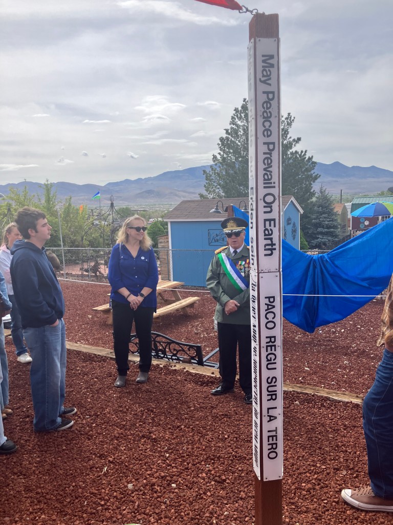
Perhaps most impressive, Molossia, which is entirely surrounded by the United States, has remained entirely removed from the ugly partisan sniping that has absorbed the country. Instead, Molossia promotes positive values like world peace, as indicated by its Peace Pole in its Red Square.
In addition, Molossia has constructed a “Friendship Gateway,” which is described thus: “We do not build walls in Molossia, we do not live in fear, we welcome all. We have instead built a gateway – a hole in the wall, so to speak – to symbolize inclusiveness and openness. Molossia’s Friendship Gateway is dedicated to openness, inclusiveness and amity between all peoples!“
The President and First Lady at the Friendship Gateway.
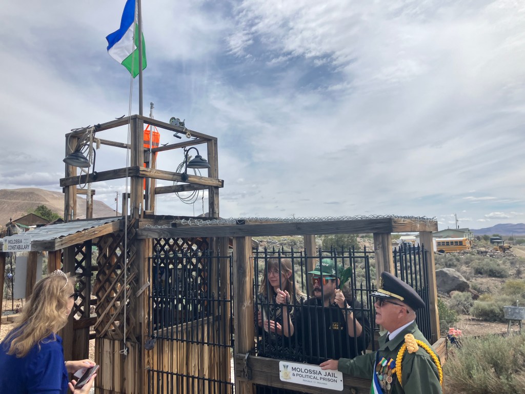
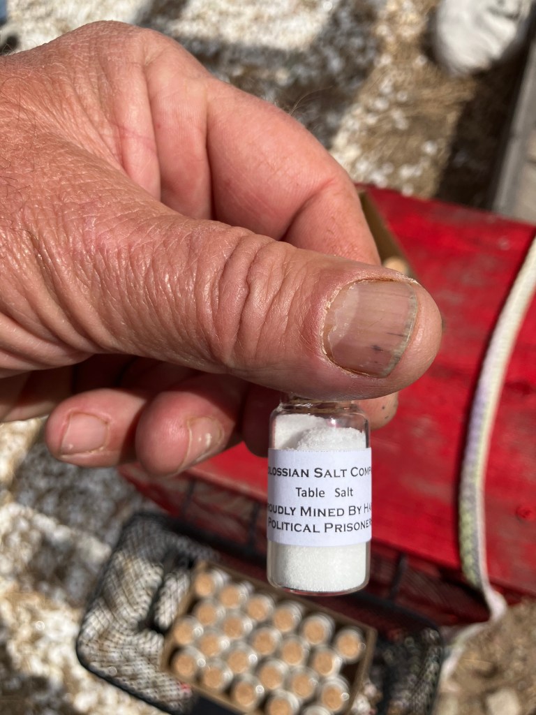
That’s not to say that Molossia ignores the need for law and order. Indeed, the country maintains a jail, and relegates the worst of their prisoners to the salt mines. (We visitors were each gifted with a small vial of salt from the mines, assured that the product was “proudly mined by happy political prisoners.”)
Sadly, some of today’s visitors had to be jailed because they had contraband in their possession.
A vial of Molossian Salt, “proudly mined by happy political prisoners.”
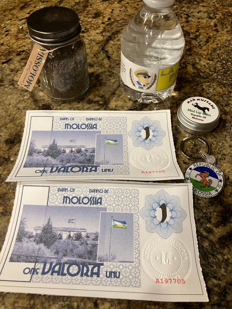
The end of my visit, which included some transactions at the Molossia Mercado, left me with a couple of Valora, which, of course, is the currency unit of Molossia. Unlike old-fashioned currencies which are backed by gold or silver or other passé metals, the Valora is backed by chocolate-chip cookie dough. Which is why the Molossian central bank is internationally recognized to be “rolling in dough.” (The First Lady made that comment during our tour.)
Before concluding, allow me to share a few other photos from today:
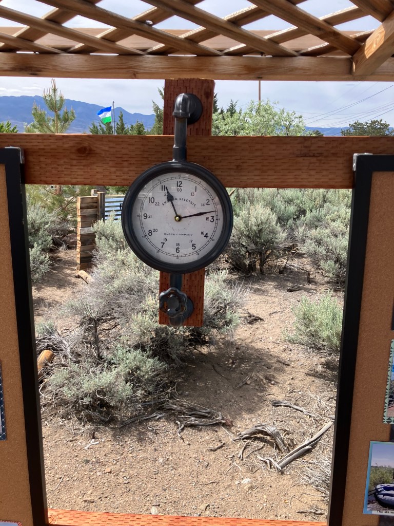
The Republic of Molossia is on Molassia Standard Time, which is about 31 minutes ahead of Pacific Time.
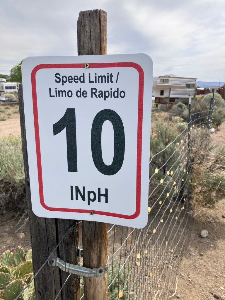
Posted speed limits are in Imperial Nortons, which, coincidentally, are identical to kilometers. However, the other official unit of distance is the Norton, which is the length of President Baugh’s hand.
President Baugh and his one-Norton-sized hands.
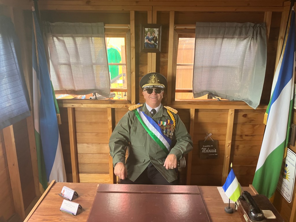
Oh, a word about the Molossian flag, which appears in various of the above photos and in the photo immediately below: The blue represents the fair skies over Molossia, the white represents the snow on the distant Sierra mountains, and the green represents springtime in the desert. But most notably, the flag is identical to the flag of Sierra Leone turned upside down. This makes it quite easy to source Molossian flags…
President Baugh in his official office, with Sierra Leone Molossian flags.
In conclusion, I have to say that this was one of the more delightful visits I’ve made on my many road trips. Here we have a couple of people with a vision that they’ve faithfully translated into brick-and-mortar reality…over the past three decades. Their goal seems to be benign, and their impact upon all they come into contact with appears to be entirely positive. A person could do worse. Perhaps what this world needs is more micronations.
If you’re interested (and you should be), I’d encourage you to book a tour.
CRITTER CORNER
Let’s return now to the (puny) world that is my life: Two of our animals have gained national exposure! First, our Maine Coon (Mr. Bad) was psychoanalyzed on Mike Pesca’s podcast, How To! (That exclamation point is part of the title of the podcast, and not simply a sign of my over-exuberance.) Listen to me getting scolded by a cat expert for locking Mr. Bad in the laundry room: Mr Bad on Pesca
Second, our one-time race horse Kitten makes an appearance in Poe Unplugged’s “Poe It Like Poe Reading Event.” Kitten appears in my reading of Poe’s poem “Eldorado.” Here’s the video:
You can also watch the whole Poe It Like Poe event, which is here.
BEER OF THE DAY
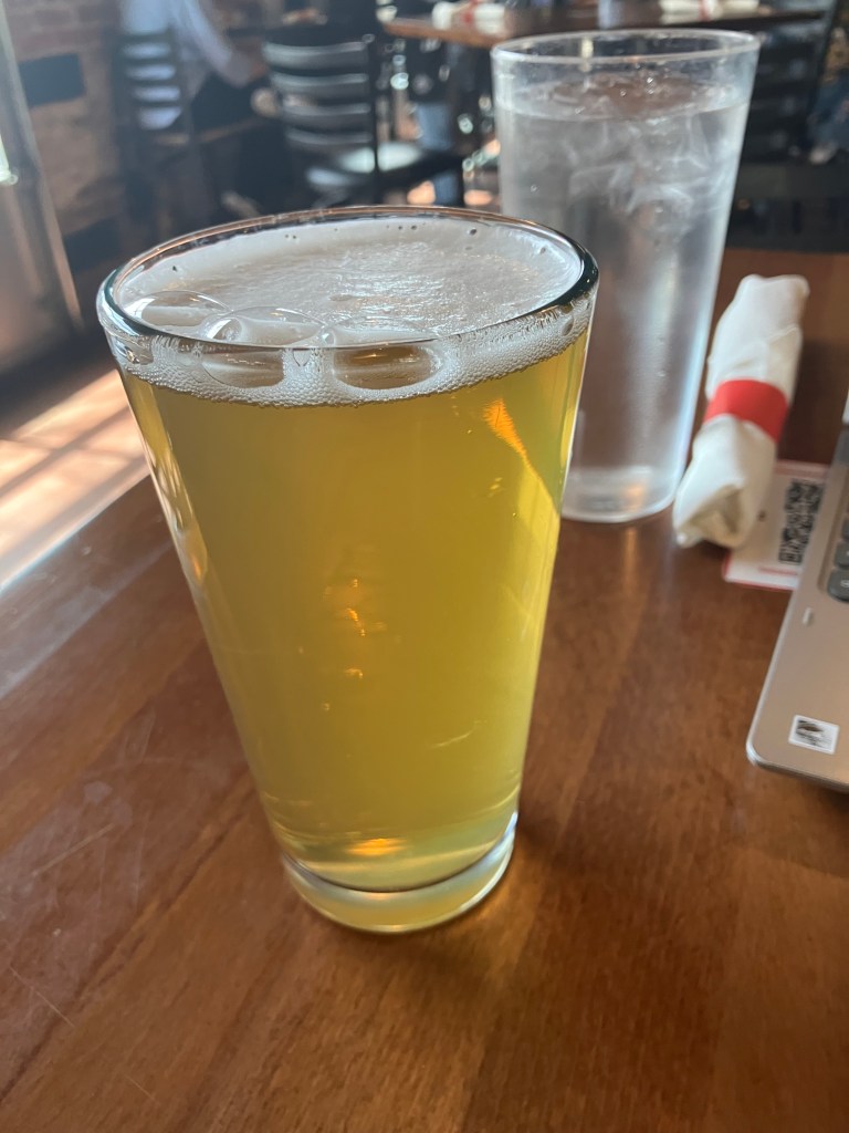
Today’s BOTD comes from Great Basin Brewing Company in Carson City, NV (which is, of course, Nevada’s state capital). Great basin has four (count them!) locations in western Nevada. I got talked into their Cervesa Chilibeso. To be honest, it tastes like every other chili beer that’s out there (Masthead, Cave Creek, etc). It’s brewed with actual jalapenos in a lager base. At 5% ABV, you’re not going to get wasted on this stuff. It’s mostly a novelty drink, to show the world how you can drink jalapeno juice.
This stuff is characterized not so much by heavy spice as a slow burn on the back of your throat. There’s no nose to speak of, and no frothy head. It has the appearance of an Arnold Palmer. It has the color of the yellow Easter egg dye that your mom made by dropping a tablet of Paas into a cup of vinegar.
This stuff has good carbonation and goes down well cold. The first sip really wakes you up. But then you acclimate to the burn, and the flavor profile becomes rather boring. Let’s be honest: This is a gimmick beer. It’s drinkable only because, after a few sips, your taste buds are toast. No one drinks this for the flavor.
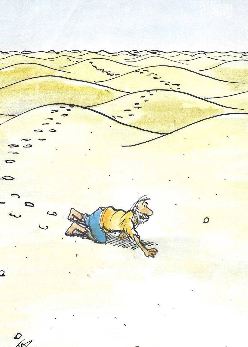
Now that I’ve managed to claw my way out of the Mojave desert, I thought I’d post a few additional photos that didn’t fit neatly into my scintillating narrative. Maybe think of these as “bonus features.”
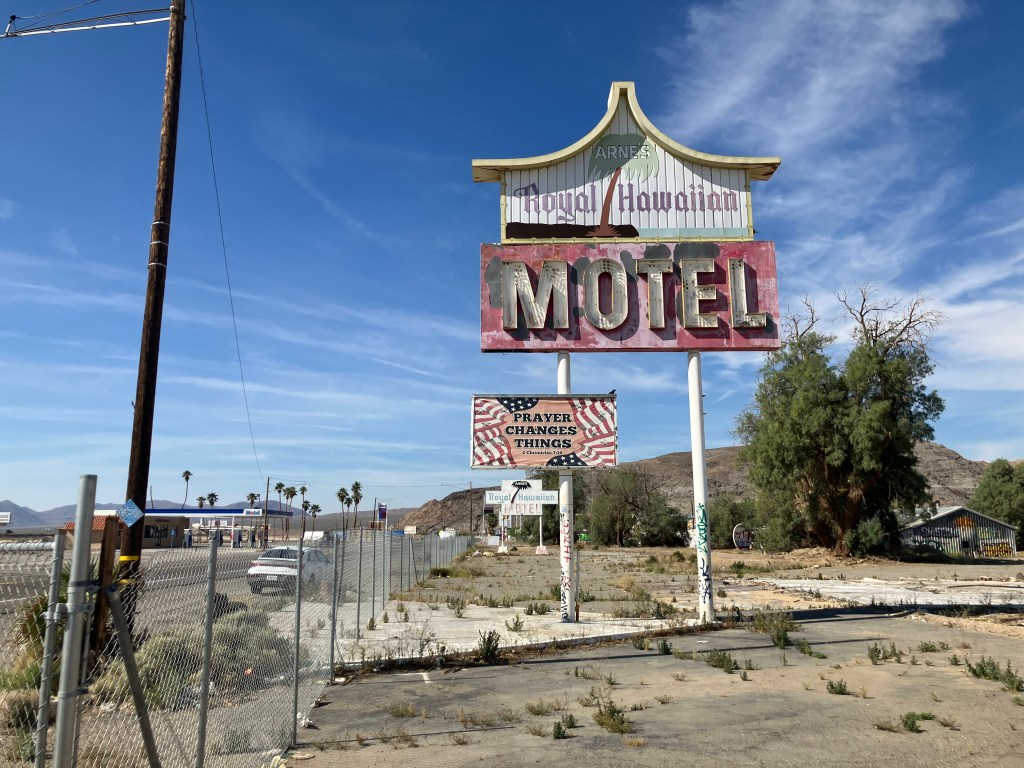
This first photo is of the Royal Hawaiian Motel in Baker, CA…which is not royal, not Hawaiian, and not even a motel anymore. It opened in 1957 and closed in 2009. It sat vacant until just last year, when the building was demolished. I’m told that, just before it was demolished, it appeared in the Amazon Prime series “Fallout” (Season 2, Episode 1). But I can’t vouch for that, as I haven’t watched TV since they cancelled Happy Days.
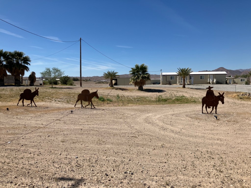
At first I thought the art installation featured here was the three wise men. But the “camels” are actually mules (donkeys? burros?) with packs on their backs. I took this photo near the Old Spanish Trail in Tecopa.
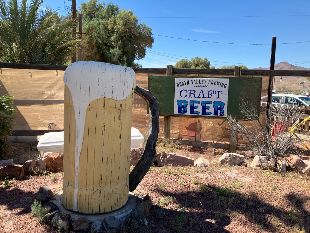
This beer mug is crafted out of wood. I guess that’s why I took the photo. Sorry–I don’t have any other info on this.
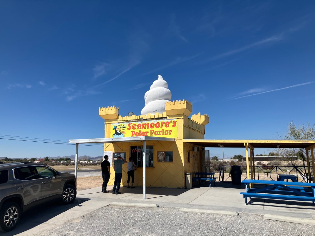
Seemoore’s Polar Parlor sits on the main highway into Pahrump, NV. A nice, cold softserve is of course welcome in the desert. But Seemoore’s real claim to fame (according to the teenager serving me at the window) is that it’s the “world’s tallest ice cream stand.” I expressed my incredulity, for this place is barely two stories tall. His deadpan response: “Yeah, but all the other ones are one story. They don’t have a giant ice cream on the top.”
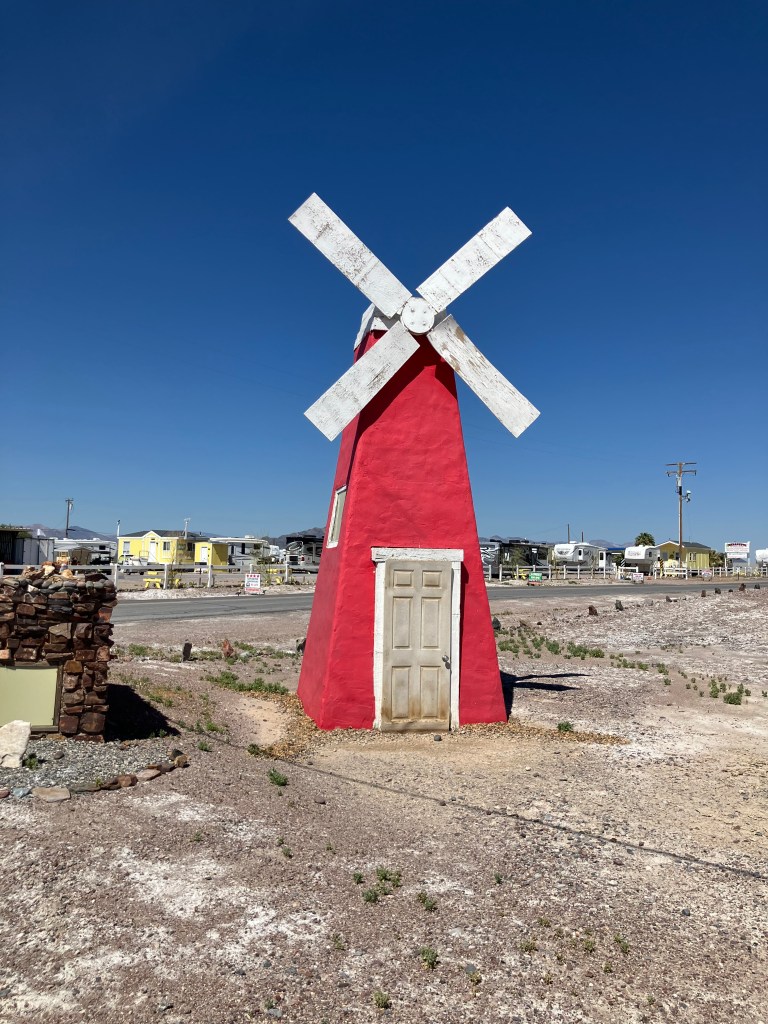
Unexplained “windmill”in Tecopa Hot Springs.
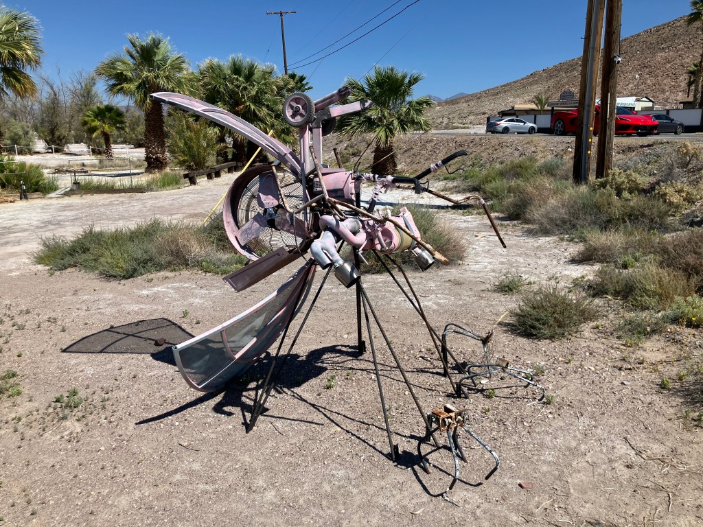
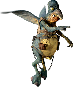
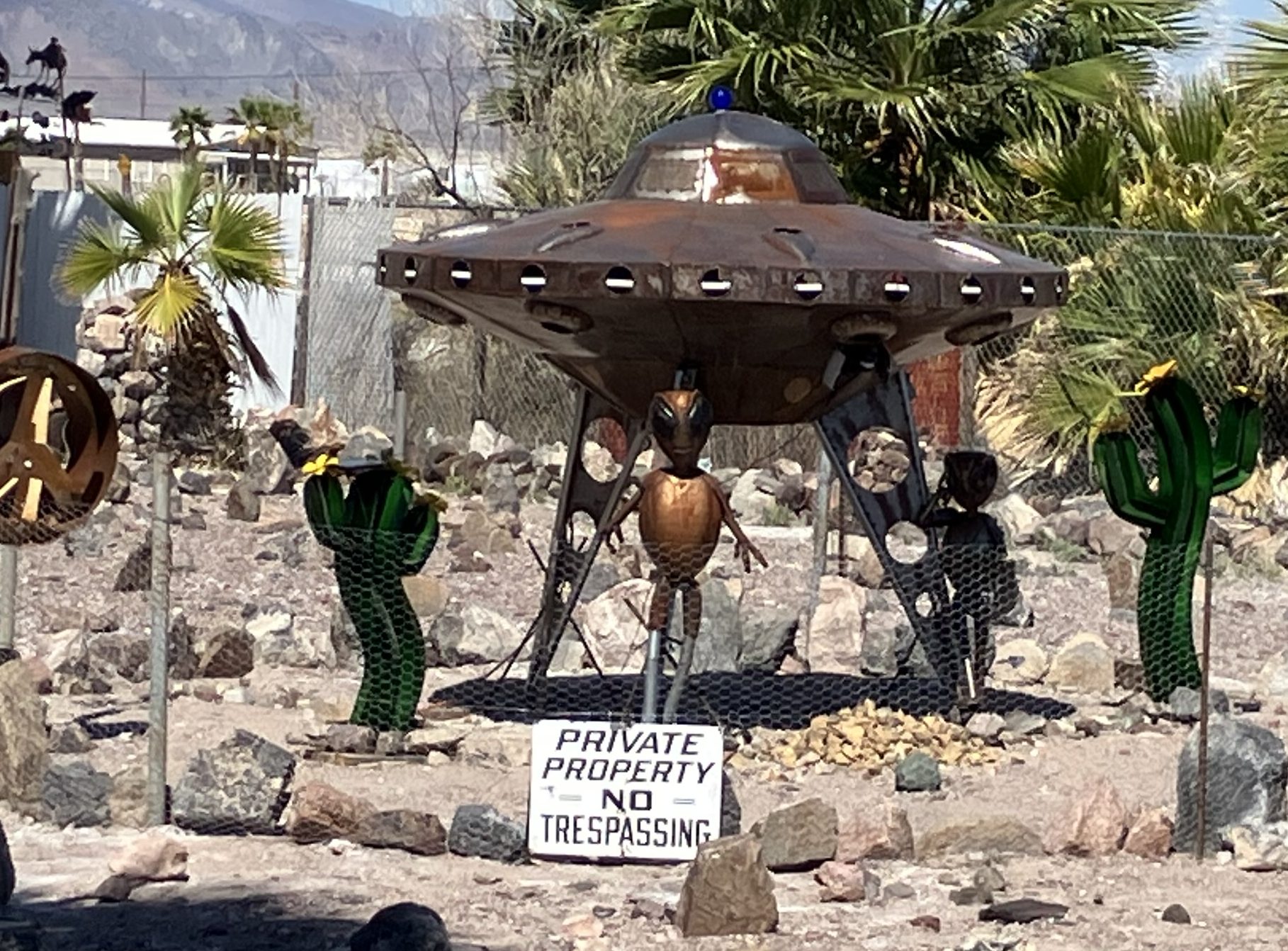
I’ve commented before that people in the desert have a special talent for yard art. I’m not sure what this is supposed to be–Maybe Watto from Star Wars Episode 1?
Speaking of aliens and yard art…
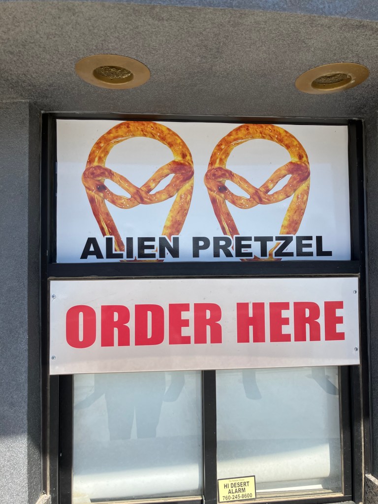
Sticking with the alien theme a little longer, these were advertised at the Alien Fresh Jerky store Baker. Sadly, they were out of them when I was there.
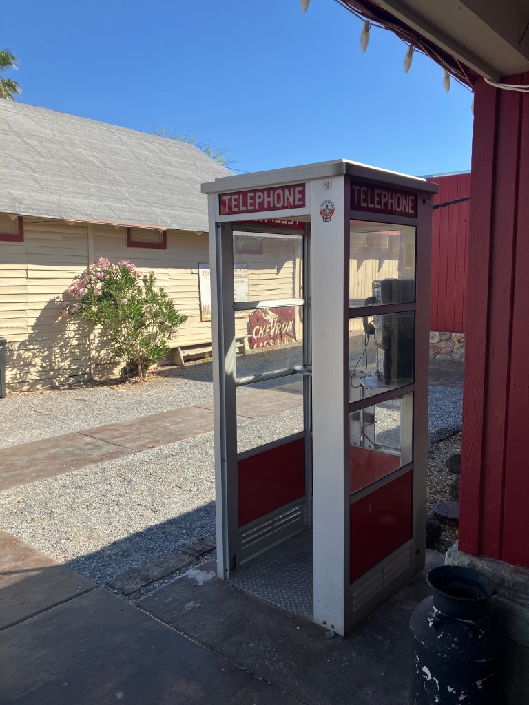
Younger readers might not recognize this photo. In the old days, people would actually go inside these glass boxes, deposit little metal discs called “coins,” and make a phone call from a clunky “handset” connected to a wire. This phone was still intact, but there was no dial tone. It got me wondering if there are any working pay phones anymore.
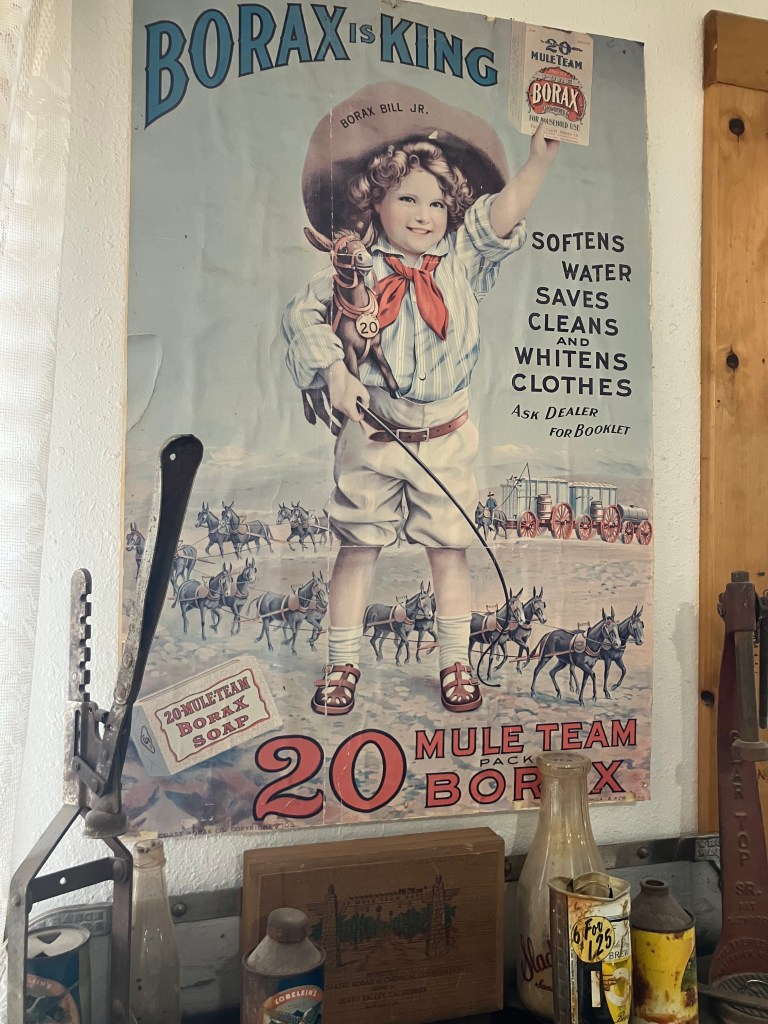
Another of the many advertisements for borax that one encounters around Death Valley.
This may or may not be an example of desert folk art.
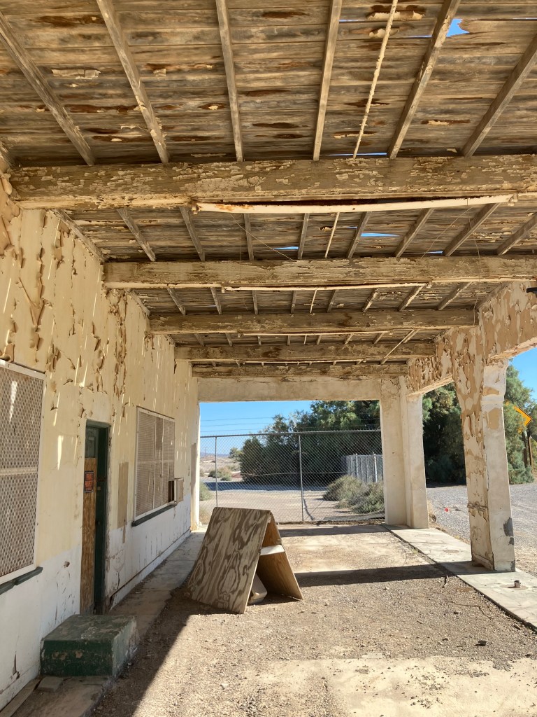
The covered porch of the service station at Death Valley Junction where Marta Becket had her car repaired and envisioned the Amargosa Opera House.
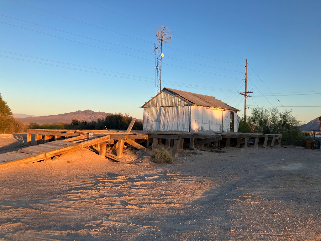
Finally, here’s the borax loading dock at Death Valley Junction/Amargosa. I just liked the lighting.
Thus concludes my Mojave trip. Mark your calendars for my visit to the Republic of Molossia on April 25. Until then, remember: Borax is King!